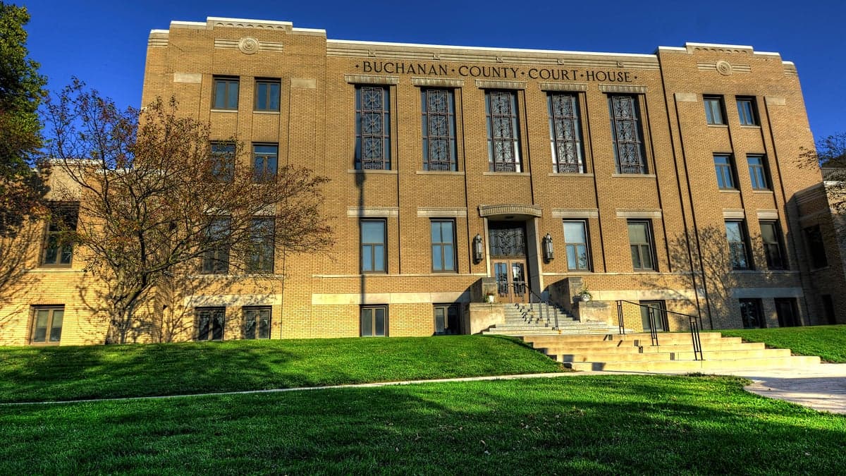
Photo: Wikipedia
Strategic Assessment of Buchanan County
Workable tactical position. Some exposure to population density or targets, but generally defensible in a crisis.
What does the Strategic Assessment tell us?
Our Strategic Assessment grades tactical survivability of an area. Major population centers, military targets, fallout zones, natural disasters, and border exposure all drive risk — lower exposure means a more defensible position in a crisis.
This is heavily inspired by Joel Skousen's Strategic Relocation book. Highly recommended you checkout the book ($)What does this tell us?
Our Strategic Assessment grades tactical survivability of an area. Major population centers, military targets, fallout zones, natural disasters, and border exposure all drive risk — lower exposure means a more defensible position in a crisis.
This is heavily inspired by Joel Skousen's Strategic Relocation book. Highly recommended you checkout the book ($)Strategic Pillars

Key Distances
Strategic Assessment Analysis
Buchanan County, Iowa, offers a compelling strategic position for those prioritizing resilience and self-sufficiency, balancing rural stability with practical access to regional resources. Located in the northeastern part of the state, the county’s seat of Independence and its largest city, Jesup, anchor a landscape of small towns and working farms that have weathered economic shifts with a steady, grounded character. For a relocator thinking seriously about disaster readiness, the area’s distance from major metropolitan targets and its integration into the Midwest’s agricultural backbone provide a foundation worth examining closely.
Geographic position and natural advantages for long-term stability
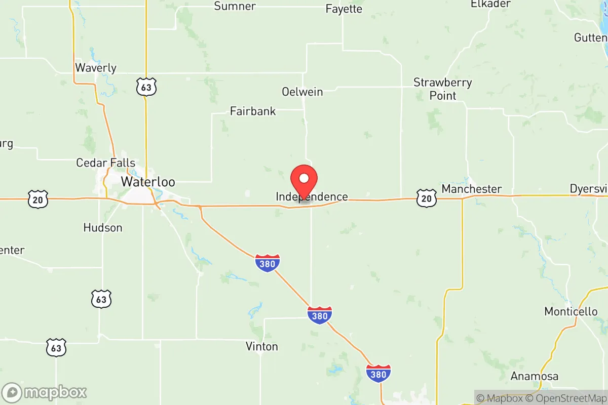
Buchanan County sits roughly 40 miles northwest of Cedar Rapids and about 60 miles west of the Mississippi River, placing it in a sweet spot—close enough to urban supply chains and medical centers, yet far enough to avoid the immediate fallout zones of a major city. The county’s terrain is classic Iowan: rolling hills, fertile loam soil, and a network of small rivers including the Wapsipinicon River, which winds through Independence and provides a natural water source. This topography offers modest defensibility—the hills create visual barriers and limited chokepoints on rural roads—while the soil is among the most productive in the nation, a critical asset for long-term food security. The area’s climate is temperate, with cold winters and humid summers, but it avoids the extreme drought risks of the Plains or the hurricane exposure of the Gulf Coast. For a family or individual, this means a predictable growing season (roughly 150 days) and reliable annual precipitation averaging 35 inches, reducing reliance on irrigation in a grid-down scenario.
Risks, exposures, and proximity to fallout-relevant landmarks
No strategic assessment is complete without acknowledging what Buchanan County is near—and what it isn’t. The county’s primary risk comes from its location within the broader Midwest industrial and transportation corridor. The Union Pacific rail line runs through Independence, carrying freight that includes hazardous materials, and the county is within 100 miles of the Duane Arnold Energy Center (a decommissioned nuclear plant near Palo, Iowa), though the facility is no longer active and presents minimal fallout risk. More relevant: Buchanan County is roughly 150 miles from the Minneapolis-St. Paul metro area and 200 miles from Chicago—both potential targets in a major conflict. However, prevailing winds in the region blow from the west and northwest, meaning fallout from a Chicago or Minneapolis event would likely drift east or southeast, away from Buchanan County. The county itself hosts no major military bases, refineries, or ports. The closest military installation is the Iowa Army Ammunition Plant in Middletown (about 120 miles southeast), which is a conventional munitions facility, not a high-value nuclear target. For a relocator, the key takeaway is that Buchanan County sits in a low-priority zone for strategic strikes, while still being within a day’s drive of multiple regional medical centers (Cedar Rapids, Waterloo, Dubuque) for non-emergency needs.
Practical resilience for a relocator: food, water, energy, and defensibility
For someone serious about self-sufficiency, Buchanan County delivers on the basics. Food production is the standout advantage: the county is part of Iowa’s corn and soybean belt, with local farms producing grain, livestock, and dairy. The Independence Farmers Market operates seasonally, and the surrounding area has a strong network of small-scale producers selling eggs, meat, and produce directly. For a relocator looking to homestead, land prices remain reasonable—agricultural acreage in the county averages around $8,000–$10,000 per acre as of 2025, significantly cheaper than comparable land in Colorado or the Pacific Northwest. Water access is reliable: the Wapsipinicon River runs through the county, and groundwater is abundant via private wells, with typical depths of 50–150 feet. The city of Independence draws its municipal water from the river and a wellfield, but a rural property with a well and a hand pump offers true independence. Energy resilience is mixed: the county is served by Alliant Energy and local cooperatives, with a grid that is generally stable but vulnerable to ice storms and derecho events (the August 2020 derecho caused widespread power outages here). Solar potential is moderate—Iowa averages about 200 sunny days per year—but a small off-grid solar array with battery storage is feasible for a well-insulated home. Defensibility is moderate: the rural road network is sparse, with few paved routes and many gravel roads that become impassable in heavy rain or snow. This isolation is a double-edged sword—it deters casual traffic but also complicates evacuation. The county’s population density is about 30 people per square mile, meaning neighbors are present but not intrusive, and the culture of mutual aid (volunteer fire departments, church networks) is strong. For a family, the practical resilience score is high: you can grow food, draw water, and keep a low profile, but you’ll need to stockpile fuel and medical supplies, as the nearest Level II trauma center is in Waterloo (30 miles west) and the nearest major hospital is in Cedar Rapids (40 miles southeast).
The overall strategic picture for Buchanan County is one of quiet viability. It’s not a prepper’s paradise of remote mountains or a fortified compound—it’s a working agricultural county where resilience is baked into the culture, not the marketing. The risks are real but manageable: no nuclear targets nearby, no coastal storm surges, no wildfire corridors. The vulnerabilities are the same as any rural Midwest location: winter storms, occasional tornadoes (the county averages 2–3 per year), and the slow creep of economic consolidation that has hollowed out some small towns. For a relocator with a slightly conservative leaning—someone who values community, self-reliance, and a slower pace—Buchanan County offers a defensible, productive, and unglamorous base. Independence and Jesup provide enough infrastructure for daily life (grocery stores, hardware stores, a county hospital), while the surrounding farmland gives you room to breathe and grow. It’s not flashy, but in a crisis, flashy doesn’t keep you fed.

* Values derived from national, state, county, city and local statistics and may differ in a specific area. Last updated: 2026-10-15T01:06:16.000Z
Narrative content on this page is AI-generated and may contain mistakes. Verify any details that matter before acting on them.
ReloMaps may earn a commission from affiliate links at no extra cost to you.

