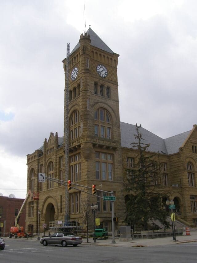
Photo: Wikipedia
Strategic Assessment of Wells County
Workable tactical position. Some exposure to population density or targets, but generally defensible in a crisis.
What does the Strategic Assessment tell us?
Our Strategic Assessment grades tactical survivability of an area. Major population centers, military targets, fallout zones, natural disasters, and border exposure all drive risk — lower exposure means a more defensible position in a crisis.
This is heavily inspired by Joel Skousen's Strategic Relocation book. Highly recommended you checkout the book ($)What does this tell us?
Our Strategic Assessment grades tactical survivability of an area. Major population centers, military targets, fallout zones, natural disasters, and border exposure all drive risk — lower exposure means a more defensible position in a crisis.
This is heavily inspired by Joel Skousen's Strategic Relocation book. Highly recommended you checkout the book ($)Strategic Pillars

Key Distances
Strategic Assessment Analysis
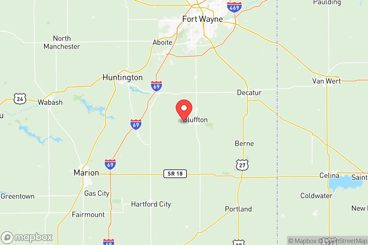
Wells County, Indiana, offers a compelling mix of Midwestern stability and strategic positioning for those prioritizing resilience and self-sufficiency, sitting comfortably outside the blast radius of major metropolitan targets while retaining access to their resources. Located roughly 25 miles south of Fort Wayne and 70 miles northeast of Indianapolis, the county’s seat, Bluffton, anchors a region defined by agricultural self-reliance, a strong local manufacturing base, and a population density low enough to avoid the worst-case scenarios of a national disruption. For a relocator weighing disaster readiness, Wells County presents a solid, if unglamorous, option—a place where the land is productive, the community is tight-knit, and the risks are manageable rather than existential.
Geographic position and natural advantages for long-term stability
Wells County’s geography is its first and most durable asset. The county sits on the Wabash Moraine, a glacial ridge that provides well-drained, fertile soils ideal for agriculture—a critical advantage for anyone serious about food security. The landscape is gently rolling, with no floodplain exposure along the Wabash River’s main stem, though smaller creeks like the Salamonie River and Little River do pose localized flood risks in low-lying areas near Bluffton and Ossian. The county is part of the Eastern Corn Belt, meaning the growing season is reliable (roughly 160 frost-free days), and the water table is high and accessible via shallow wells. Natural hazards are minimal: tornadoes are a seasonal threat (Indiana averages 20-30 per year statewide), but Wells County sits in a zone of moderate risk, not the higher-frequency corridors of central Oklahoma or Alabama. Severe thunderstorms and occasional hail are the main weather concerns, but the county lacks exposure to hurricanes, wildfires, or seismic activity. For a relocator, the key takeaway is that the land itself is productive and defensible—open enough for solar panels and gardens, wooded enough for cover and timber, and far from any coastal storm surge or major fault line.
Risks, exposures, and proximity to fallout-relevant landmarks
The primary risk for Wells County is not natural but man-made, stemming from its position within the broader industrial and military geography of the Midwest. The county lies roughly 50 miles southwest of Fort Wayne’s Baer Field Air National Guard Base (122nd Fighter Wing), a potential target in a conflict scenario, and about 90 miles northeast of Grissom Air Reserve Base near Peru, Indiana, which hosts KC-135 tankers and is a designated Space Force installation. Both are plausible secondary targets. More concerning is the county’s proximity to the Marion, Indiana, industrial corridor (about 30 miles south), which includes chemical manufacturing and rail hubs, and the Fort Wayne rail yards that handle hazardous materials. Wells County itself has no major refineries, nuclear plants, or military bases, but it is within the fallout plume radius of the D.C. Cook Nuclear Plant in Bridgman, Michigan (about 120 miles northwest)—a 10-mile emergency planning zone doesn’t reach Wells County, but prevailing westerly winds could carry fallout across the region in a worst-case release. The county’s own industrial footprint is modest: Bluffton hosts a few light manufacturing plants (e.g., Dana Incorporated, which makes axles for heavy trucks), but nothing that would make it a primary target. For a relocator, the calculus is clear: Wells County is far enough from high-value targets to avoid direct strikes, but close enough to experience secondary effects like refugee flows, supply chain disruptions, and potential fallout from upwind facilities. The risk is moderate, not negligible.
Practical resilience for a relocator: food, water, energy, and defensibility
Wells County’s practical resilience is where it shines for a self-sufficiency-minded household. Food security is the strongest pillar: the county is among Indiana’s top producers of corn and soybeans, with numerous small farms, roadside stands, and a robust Amish and Mennonite presence (particularly around the communities of Craigville and Liberty Center) that practice low-tech, sustainable agriculture. The Bluffton Farmers Market operates seasonally, and the county’s agricultural extension office offers workshops on canning, seed saving, and livestock management. For a relocator, buying a 5-10 acre parcel with existing garden plots and a pond is feasible at prices well below national averages (land runs $5,000–$8,000 per acre). Water access is excellent: the Wabash River and its tributaries provide surface water, and the glacial aquifer beneath the county yields high-quality groundwater at depths of 50-150 feet. Most rural properties already have private wells, and the county’s well-drilling regulations are minimal. Energy resilience is more mixed. The county is served by Indiana Michigan Power (a subsidiary of American Electric Power), which draws from a mix of coal, natural gas, and renewables. Grid reliability is average for rural Indiana—outages from storms happen a few times a year, but restoration is usually within 24 hours. Solar potential is decent (4.5-5.0 peak sun hours per day), and local installers are available in Bluffton and Ossian. Wood heating is viable given the county’s 30% forest cover (mostly oak-hickory in the river bottoms). Defensibility is a mixed bag: the county’s open farmland offers long sightlines but limited cover, while the wooded creek valleys provide natural choke points. The population is sparse enough (about 28,000 total, with Bluffton at 10,000) that a determined group could secure a perimeter around a rural homestead, but the county’s road network (primarily state routes 1, 3, and 116) is well-maintained and would facilitate movement by outsiders. The local sheriff’s office and Bluffton Police Department are professional but small—roughly 30 sworn officers countywide—so self-reliance is the default expectation, not a luxury.
The overall strategic picture for Wells County is one of quiet competence rather than flashy preparedness. It lacks the dramatic natural defenses of a mountain redoubt or the isolation of a desert compound, but it compensates with agricultural abundance, reliable water, a low-risk hazard profile, and a community culture that still values neighborly mutual aid. For a relocator who wants to be within a few hours of Indianapolis or Fort Wayne for supplies and medical care, but far enough out to avoid the chaos of a major urban collapse, Wells County is a solid B+ choice. The biggest vulnerabilities are its position downwind of potential fallout sources and its dependence on a grid that could be strained in a prolonged crisis. But for someone willing to dig a well, plant a garden, and get to know the Amish families down the road, this corner of Indiana offers a realistic path to resilience without the premium prices or hype of more famous retreat zones.

* Values derived from national, state, county, city and local statistics and may differ in a specific area. Last updated: 2026-10-21T15:14:32.000Z
Narrative content on this page is AI-generated and may contain mistakes. Verify any details that matter before acting on them.
ReloMaps may earn a commission from affiliate links at no extra cost to you.

