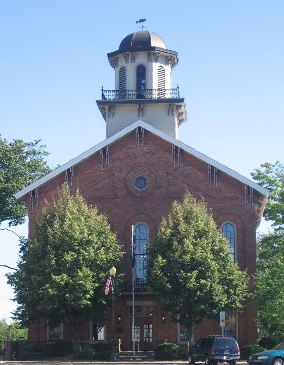
Photo: Wikipedia
Strategic Assessment of Steuben County
Workable tactical position. Some exposure to population density or targets, but generally defensible in a crisis.
What does the Strategic Assessment tell us?
Our Strategic Assessment grades tactical survivability of an area. Major population centers, military targets, fallout zones, natural disasters, and border exposure all drive risk — lower exposure means a more defensible position in a crisis.
This is heavily inspired by Joel Skousen's Strategic Relocation book. Highly recommended you checkout the book ($)What does this tell us?
Our Strategic Assessment grades tactical survivability of an area. Major population centers, military targets, fallout zones, natural disasters, and border exposure all drive risk — lower exposure means a more defensible position in a crisis.
This is heavily inspired by Joel Skousen's Strategic Relocation book. Highly recommended you checkout the book ($)Strategic Pillars

Key Distances
Strategic Assessment Analysis
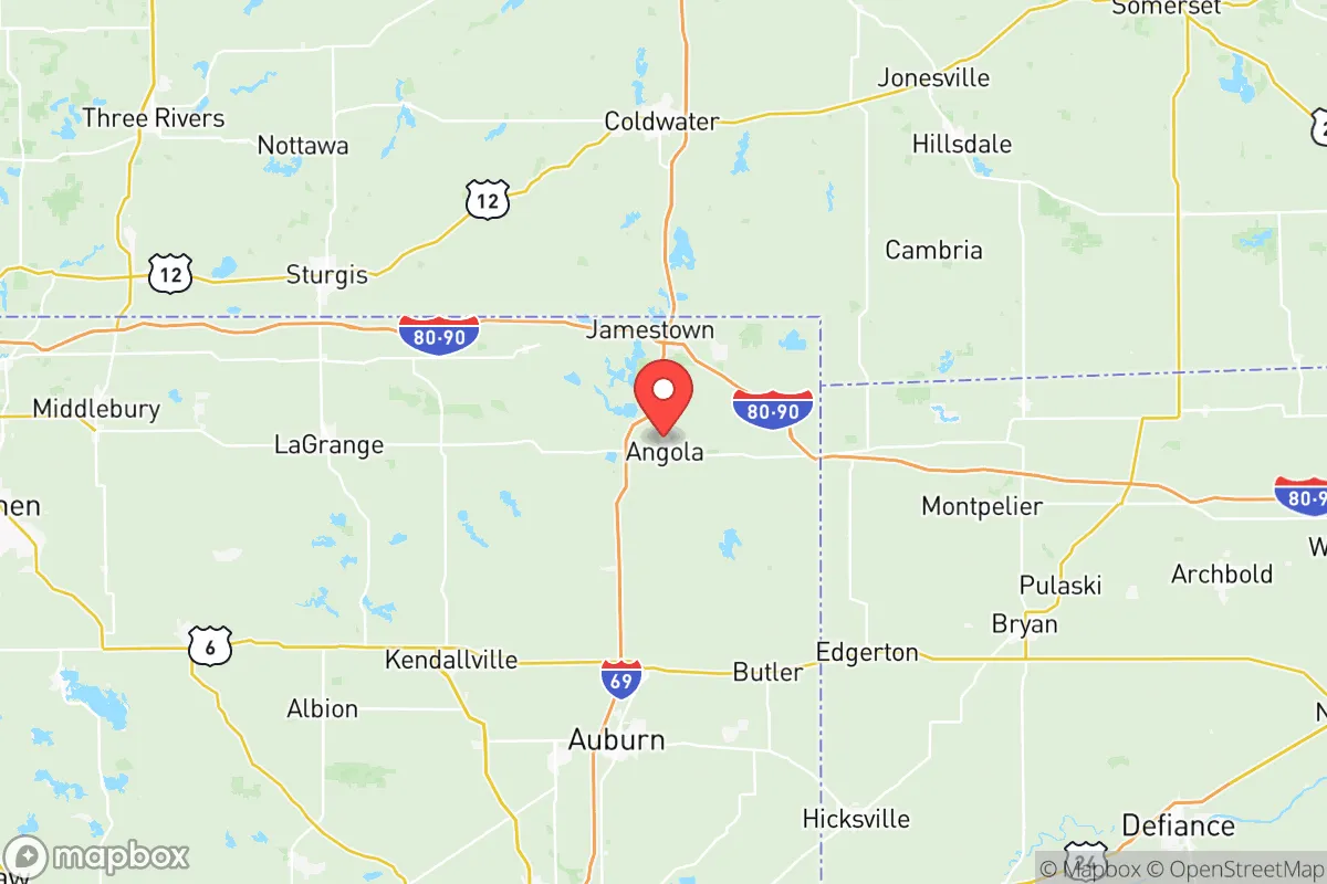
Steuben County, Indiana, offers a strategic blend of Midwestern stability and geographic insulation that appeals to relocation-minded individuals and families prioritizing long-term resilience. Located in the far northeastern corner of the state, the county sits roughly 40 miles north of Fort Wayne and about 50 miles west of Toledo, Ohio, placing it outside the immediate blast and fallout zones of major metropolitan targets while still providing access to regional supply chains and healthcare. The area’s economic base—anchored by manufacturing, agriculture, and the recreational economy of the 101 lakes region—has shown steady, if unspectacular, growth, with a population hovering around 34,000 as of 2025. For a reader weighing disaster readiness and self-sufficiency, Steuben County’s low population density, abundant freshwater resources, and distance from high-value strategic targets make it a credible candidate for a relocation hub, though not without specific vulnerabilities worth examining.
Geographic position and natural advantages for long-term stability
Steuben County’s primary strategic asset is its position within the Great Lakes watershed, specifically the St. Joseph River basin, which feeds into Lake Michigan. The county is dotted with over 100 natural and man-made lakes, including the largest, Lake James, and the interconnected chain of Snow Lake, Gilead Lake, and Crooked Lake. This water abundance is a critical resilience factor—unlike much of the arid West or even parts of the Midwest facing groundwater depletion, Steuben County’s surface water supply is robust and naturally replenished. The terrain is gently rolling glacial till, with elevations around 1,000 feet, offering decent drainage and minimal flood risk outside immediate lake shorelines. The county is roughly 200 miles from the nearest major strategic target—Chicago’s urban-industrial complex—and over 300 miles from the Ohio River’s chemical and refinery corridor. This buffer reduces the likelihood of direct blast effects or heavy fallout deposition from a nuclear event, though prevailing westerly winds could carry lighter particulate from a Chicago strike. The area’s agricultural land is Class II and III soils, suitable for corn, soybeans, and hay, meaning a relocator with land access could supplement food supplies with modest gardening or small-scale farming. The town of Angola, the county seat, serves as the commercial hub with a population of about 8,800, offering a hospital (Cameron Memorial Community Hospital), a regional airport (Steuben County Airport, 3R8), and a satellite campus of Trine University—assets that support both daily life and post-disaster continuity.
Risks, exposures, and proximity to fallout-relevant landmarks
While Steuben County is not a high-priority target, it is not entirely off the map. The most significant man-made risk comes from the Palmer Energy Park, a natural gas-fired power plant near Fremont, and the Angola Generating Station, a smaller peaking plant—both are potential secondary targets or sources of industrial accidents, though they lack the catastrophic fallout potential of nuclear facilities. The nearest nuclear power plant is the Fermi 2 reactor in Monroe County, Michigan, roughly 70 miles northeast; a meltdown or strike there could deposit fallout across southern Michigan and northern Indiana, including Steuben County, depending on wind direction. The county also sits within 100 miles of the Fort Wayne International Airport (a military airlift hub) and the Defense Finance and Accounting Service in Indianapolis, though these are not primary strategic targets. A more immediate concern is the CSX rail line running through Angola, which carries hazardous materials—including anhydrous ammonia and chlorine—from the Great Lakes chemical corridor. A derailment or sabotage event could force evacuations or contaminate local water sources. Natural risks are modest: tornadoes are possible (the county is in the southern edge of the traditional “Tornado Alley” extension), with an average of 2-3 touchdowns per decade, and severe winter storms can knock out power for days. The area’s low seismic risk and absence of wildfire or hurricane threats make it comparatively stable for a relocator seeking to avoid climate-driven displacement.
Practical resilience for a relocator: food, water, energy, and defensibility
For a household or small community aiming for self-sufficiency, Steuben County offers several structural advantages. Water is the strongest suit: the abundance of lakes and the underlying glacial aquifer mean that a well-drilled property can yield 10-20 gallons per minute at depths of 50-150 feet, with minimal treatment needed beyond basic filtration. The county’s public water systems, serving Angola, Fremont, and Orland, draw from the St. Joseph River and are treated with chlorination, but a relocator on rural acreage can bypass municipal infrastructure entirely. Food production is viable but requires planning: the growing season runs roughly 150 days (May to October), suitable for cool-weather crops like potatoes, carrots, and leafy greens, with greenhouse extension possible. Local farmers’ markets in Angola and Fremont operate seasonally, and the county has a handful of small-scale organic farms, but a serious prepper would need to establish their own garden or partner with a local grower. Energy resilience is mixed: grid power is supplied by Indiana Michigan Power (a subsidiary of American Electric Power), with an average reliability of 99.8% but vulnerability to ice storms. Solar potential is moderate (4.5 peak sun hours per day), and wood heating is feasible given the county’s 30% forest cover—mostly oak, hickory, and maple. Defensibility is a function of low population density (about 100 people per square mile) and the natural chokepoints created by the lake chains and state highways. The county’s road network is sparse enough that a determined group could monitor access points, particularly around the more remote lakes like Lake George or Hamilton Lake. However, the area is not a natural fortress: the flat terrain offers little cover, and the proximity to the Ohio Turnpike (I-80/90) means that any large-scale evacuation from Chicago or Detroit could funnel refugees through the county within 24-48 hours.
The overall strategic picture for Steuben County is one of moderate resilience with clear trade-offs. It is not a hardened survivalist retreat—there are no mountains, no deep bunkers, and no isolated valleys—but it offers a realistic balance of water security, agricultural potential, and distance from primary targets that many Midwestern counties lack. For a relocator with a conservative-leaning mindset who values community stability, low crime (the county’s violent crime rate is roughly half the national average), and the ability to build a self-sufficient homestead without extreme isolation, Steuben County warrants serious consideration. The key vulnerabilities—the rail line, the power plants, and the potential for refugee flow from I-80/90—are manageable with situational awareness and basic contingency planning. The area’s greatest weakness is its lack of a robust local healthcare system for major trauma or chronic illness, which means a relocator should plan for medical self-sufficiency or maintain a relationship with Fort Wayne’s hospitals (a 45-minute drive). In sum, Steuben County is a solid B+ choice for a resilience-focused relocation: not a fortress, but a defensible, resource-rich corner of the Midwest that rewards preparation without requiring a complete off-grid lifestyle.

* Values derived from national, state, county, city and local statistics and may differ in a specific area. Last updated: 2026-11-05T16:17:52.000Z
Narrative content on this page is AI-generated and may contain mistakes. Verify any details that matter before acting on them.
ReloMaps may earn a commission from affiliate links at no extra cost to you.

