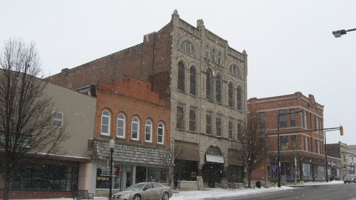
Photo: Wikipedia
Strategic Assessment of Cass County
Meaningful friction. Expect exposure to either population pressure, blast zones, or natural disaster risk. Consider buying a retreat property.
What does the Strategic Assessment tell us?
Our Strategic Assessment grades tactical survivability of an area. Major population centers, military targets, fallout zones, natural disasters, and border exposure all drive risk — lower exposure means a more defensible position in a crisis.
This is heavily inspired by Joel Skousen's Strategic Relocation book. Highly recommended you checkout the book ($)What does this tell us?
Our Strategic Assessment grades tactical survivability of an area. Major population centers, military targets, fallout zones, natural disasters, and border exposure all drive risk — lower exposure means a more defensible position in a crisis.
This is heavily inspired by Joel Skousen's Strategic Relocation book. Highly recommended you checkout the book ($)Strategic Pillars

Key Distances
Strategic Assessment Analysis
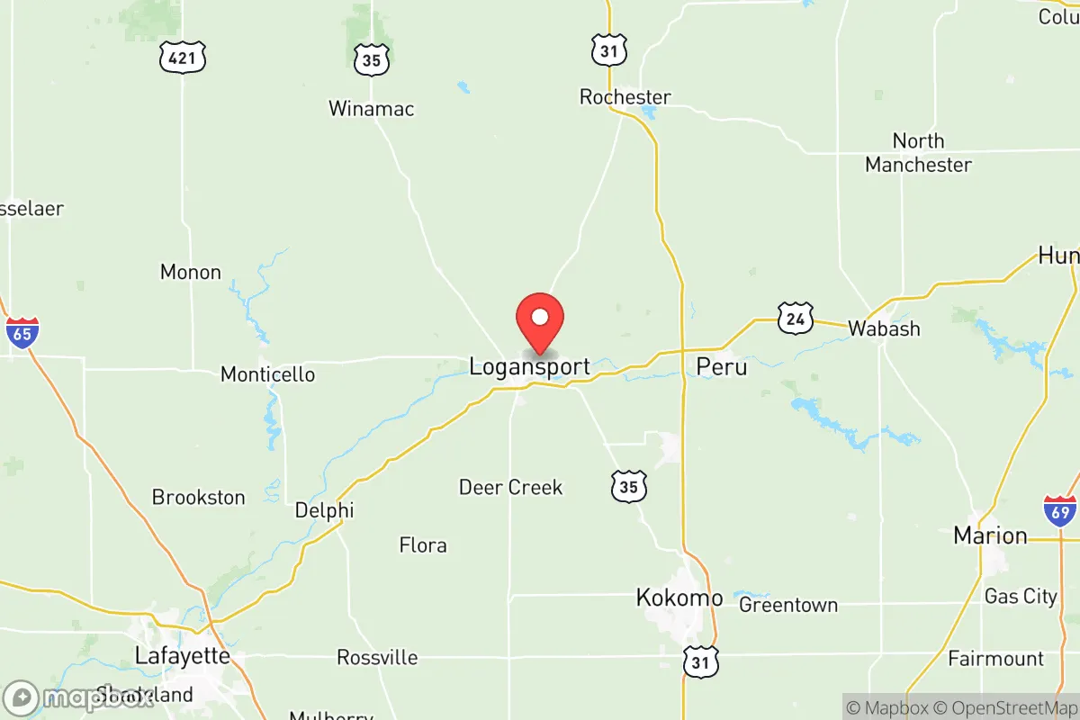
Cass County, Indiana, offers a strategic balance of Midwestern stability and practical self-sufficiency that appeals to relocators prioritizing resilience. Located roughly 70 miles north of Indianapolis and 40 miles south of South Bend, the county sits within a corridor that avoids the direct fallout zones of major metropolitan targets while maintaining access to essential supply chains. The county seat of Logansport, situated at the confluence of the Wabash and Eel Rivers, provides a geographic anchor for water security and agricultural productivity that underpins the area's long-term viability.
Geographic position and natural advantages for long-term stability
Cass County's position in north-central Indiana places it within the fertile Tipton Till Plain, a region of deep, glacially deposited soils that support robust row-crop agriculture. The county's 420 square miles contain some of the state's most productive farmland, with corn and soybeans dominating the landscape. This agricultural base provides a fundamental resilience advantage: local food production capacity that reduces dependence on distant supply chains. The Wabash River, one of the longest free-flowing rivers east of the Mississippi, runs through Logansport and offers both a reliable freshwater source and a natural barrier that shapes settlement patterns. The Eel River joins the Wabash just west of Logansport, creating a dual-waterway system that enhances the area's hydrological security. The surrounding terrain is predominantly flat to gently rolling, which simplifies road maintenance and access during severe weather events compared to more rugged regions. The county's position away from major interstate corridors—Interstate 65 runs 20 miles to the west, and US 24 provides east-west connectivity—reduces the risk of being caught in evacuation gridlock or supply chain disruptions that affect more densely traveled routes.
Risk exposure and proximity to fallout-relevant infrastructure
Cass County's risk profile is moderate compared to areas near major metropolitan centers or critical infrastructure. The county is not within the immediate blast or fallout zones of any high-value military or industrial targets. The nearest major population center, Indianapolis, sits 70 miles south, placing Cass County well outside the severe fallout patterns that would affect areas within 20-30 miles of a nuclear detonation. However, relocators should note that the county lies within 50 miles of the Grissom Air Reserve Base in neighboring Miami County, a former Strategic Air Command installation that retains military aviation operations. While Grissom's current mission focuses on air refueling and reserve training, its historical association with nuclear-capable aircraft means it could retain strategic significance in a conflict scenario. The county also sits roughly 100 miles from the Michigan City generating station along Lake Michigan, a nuclear power plant that could become a secondary concern depending on prevailing wind patterns. More immediately, the county's agricultural economy depends on fertilizer and chemical inputs that travel via rail lines running through Logansport, including the Norfolk Southern mainline. A disruption to these rail corridors could temporarily affect local agricultural operations, though the county's grain storage capacity and local food networks provide buffers that urban areas lack. Flooding along the Wabash and Eel Rivers represents the most tangible natural risk, with Logansport experiencing significant flood events in 1958, 1982, and 2003. The US Army Corps of Engineers maintains levees along portions of the Wabash through Logansport, but properties in the floodplain south of the river require careful evaluation.
Practical resilience for relocators: food, water, energy, and defensibility
For a relocator serious about self-sufficiency, Cass County offers several structural advantages. The agricultural landscape means that local food production is not theoretical but operational, with multiple farm-to-market operations, farmers markets in Logansport and Walton, and a strong tradition of home gardening and canning. The county's position within the Indiana corn and soybean belt also supports livestock operations, with several small-scale cattle and poultry farms operating throughout the rural townships. Water security is robust: the Wabash River provides a surface water source that the city of Logansport treats for municipal supply, while groundwater in the glacial till aquifers is generally accessible at depths of 50-100 feet for private wells outside city limits. The county's energy infrastructure includes natural gas distribution through the Northern Indiana Public Service Company (NIPSCO) network, and the flat terrain makes solar panel installation straightforward for off-grid setups. Wood heating is viable given the county's 30% forest cover, primarily in riparian corridors and the southeastern portion of the county near the Mississinewa River. Defensibility considerations favor Cass County over more exposed rural areas: the county's road network, while sparse in the outer townships, provides multiple egress routes via state roads 17, 19, 25, and 29. The Wabash River creates a natural defensive line along the county's southern edge, and the relatively low population density—roughly 38,000 residents across the county—means that competition for resources during a crisis would be less intense than in suburban or urban settings. The small towns of Royal Center, Galveston, and Onward offer additional options for relocators seeking distance from Logansport's population center while maintaining access to county services.
The overall strategic picture for Cass County is one of moderate resilience with specific, manageable vulnerabilities. The county's agricultural productivity, dual-river water system, and position outside major target zones make it a viable option for relocators seeking a balance between rural self-sufficiency and access to regional infrastructure. The primary considerations are flood risk in the Wabash River corridor and the proximity to Grissom Air Reserve Base, which introduces a non-zero strategic risk that should be weighed against the county's otherwise favorable positioning. For a family or individual looking to establish a resilient homestead within a two-hour drive of Indianapolis, Fort Wayne, and South Bend, Cass County provides the geographic and resource foundation to support long-term stability without the premium pricing of more well-known relocation destinations in southern Indiana or the Upper Peninsula. The county's existing agricultural infrastructure, combined with its relatively low land prices compared to neighboring counties like Carroll or Miami, makes it a practical choice for those who want to invest in preparedness without overpaying for perceived safety.

* Values derived from national, state, county, city and local statistics and may differ in a specific area. Last updated: 2026-11-15T20:36:11.000Z
Narrative content on this page is AI-generated and may contain mistakes. Verify any details that matter before acting on them.
ReloMaps may earn a commission from affiliate links at no extra cost to you.

