
Photo: Wikipedia
Strategic Assessment of Allen County
Meaningful friction. Expect exposure to either population pressure, blast zones, or natural disaster risk. Consider buying a retreat property.
What does the Strategic Assessment tell us?
Our Strategic Assessment grades tactical survivability of an area. Major population centers, military targets, fallout zones, natural disasters, and border exposure all drive risk — lower exposure means a more defensible position in a crisis.
This is heavily inspired by Joel Skousen's Strategic Relocation book. Highly recommended you checkout the book ($)What does this tell us?
Our Strategic Assessment grades tactical survivability of an area. Major population centers, military targets, fallout zones, natural disasters, and border exposure all drive risk — lower exposure means a more defensible position in a crisis.
This is heavily inspired by Joel Skousen's Strategic Relocation book. Highly recommended you checkout the book ($)Strategic Pillars

Key Distances
Strategic Assessment Analysis
Allen County, Indiana, anchored by the city of Fort Wayne, presents a compelling case for relocation-minded individuals and families who prioritize strategic resilience and long-term stability. Its position in the northeastern corner of the state, roughly equidistant from Chicago, Detroit, Indianapolis, and Cleveland, offers a significant buffer from the immediate fallout zones of major metropolitan areas while still providing access to their economic and logistical networks. The county’s economic foundation, built on a diversified mix of manufacturing, defense, healthcare, and logistics, has historically demonstrated a stubborn resistance to national downturns, making it a practical choice for those seeking a secure base of operations.
Geographic position and natural advantages for long-term stability
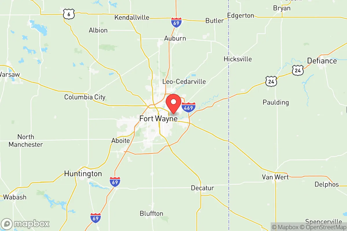
Allen County’s geography is defined by its location within the Maumee River Valley, a broad, flat region that was once the bed of the ancient Glacial Lake Maumee. This topography provides several distinct advantages. The land is generally well-drained and fertile, supporting a robust agricultural sector that includes row crops like corn and soybeans, as well as smaller-scale livestock operations. The county sits atop the Maumee River, which flows through Fort Wayne and provides a reliable surface water source, supplemented by a significant aquifer system beneath the region. This groundwater resource is a critical asset for long-term water security, as it is less vulnerable to surface contamination than many other Midwestern water supplies. The area’s relatively low population density outside the Fort Wayne urban core—with towns like New Haven, Huntertown, and Woodburn offering rural or semi-rural living—means that a relocator can find acreage with access to well water and septic systems, a key consideration for self-sufficiency. The county’s position also places it within a day’s drive of the Great Lakes, offering a secondary water source and a potential trade route, though the immediate local water supply is more than adequate for a resilient community.
Risks, exposures, and proximity to fallout-relevant landmarks
While Allen County avoids the direct fallout risks of a major coastal city or a primary nuclear target, it is not without its own strategic exposures. The most significant man-made risk is the presence of the Fort Wayne International Airport and the adjacent 122nd Fighter Wing of the Indiana Air National Guard, located on the city’s southwest side. This base operates F-16 fighter jets, making it a potential secondary target in a major conflict. Additionally, the county is home to several large industrial facilities, including the General Motors Fort Wayne Assembly Plant (a major truck manufacturing facility) and a Steel Dynamics steel mill in nearby Butler, just outside the county line. These sites, while not nuclear or chemical weapons facilities, could be considered high-value economic targets. The county’s proximity to the Enbridge Line 5 pipeline, which runs through the region, also introduces a low-probability but high-consequence risk of a petroleum spill or fire. Natural disaster risks are comparatively low: the area is not prone to hurricanes, earthquakes, or wildfires. Tornadoes are a seasonal threat, but the county’s flat terrain and lack of dense urban canyons mean that damage is typically localized. The primary natural risk is winter storms, which can disrupt power and transportation for days, but this is a manageable hazard for a prepared household.
Practical resilience for a relocator: food, water, energy, and defensibility
For a relocator focused on self-sufficiency, Allen County offers a practical mix of assets and challenges. Food security is a strong point: the county is surrounded by productive farmland, and the Allen County Cooperative Extension and local farmers’ markets in Fort Wayne, New Haven, and Leo-Cedarville provide access to fresh, local produce and meat. The presence of Purdue University Fort Wayne and its agricultural extension programs also offers educational resources for home gardening and small-scale farming. Water security is excellent for those who can drill a well; the aquifer is deep and reliable, and the Maumee River provides a backup surface source. However, reliance on municipal water in Fort Wayne or its suburbs means vulnerability to system failures, so a private well is a significant advantage. Energy resilience is a mixed picture. The grid is served by Indiana Michigan Power (a subsidiary of American Electric Power), which relies on a mix of coal, natural gas, and renewables. The region is not a leader in solar or wind potential, but a well-placed property can support a modest solar array for backup power. The flat terrain and open spaces make it feasible to install a generator or small wind turbine, though zoning in suburban areas may restrict this. Defensibility is a more nuanced consideration. The county’s rural areas offer natural isolation, with properties separated by fields and woodlots. The Maumee River and its tributaries, such as the St. Joseph and St. Marys rivers, create natural chokepoints and boundaries that could be leveraged for perimeter security. However, the county’s extensive network of state highways and interstates (I-69, I-469, US-24, US-30) means that any large-scale disruption could bring significant movement of people through the area, potentially overwhelming local resources. The key for a relocator is to choose a property that is off the main transit corridors, with good access to secondary roads and a defensible position—such as a farmstead with a clear view of approach routes.
The overall strategic picture for Allen County is one of balanced, moderate resilience. It is not a remote bunker location, nor is it a high-risk urban center. Its strengths lie in its agricultural base, reliable water supply, and diversified economy, which together provide a stable foundation for a family or individual seeking to build a self-sufficient lifestyle. The presence of the Air National Guard base and major industrial sites introduces a non-zero risk of man-made disruption, but this is offset by the county’s distance from primary nuclear targets and its lack of coastal or seismic hazards. For a relocator who values a community that is both connected and insulated, with access to resources and a manageable risk profile, Allen County offers a pragmatic, defensible choice. The key is to locate in the rural townships—such as Milan, Springfield, or Washington—where land is affordable, water is accessible, and the buffer from the urban core is sufficient to provide a genuine sense of security without complete isolation.

* Values derived from national, state, county, city and local statistics and may differ in a specific area. Last updated: 2026-07-21T03:16:44.000Z
Narrative content on this page is AI-generated and may contain mistakes. Verify any details that matter before acting on them.
ReloMaps may earn a commission from affiliate links at no extra cost to you.

