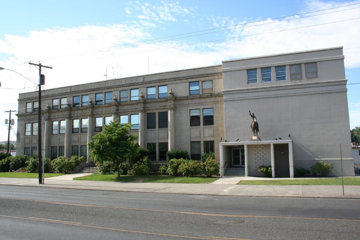
Photo: Wikipedia
Strategic Assessment of Nez Perce County
Strong survivability profile. Good buffer from population centers, with manageable environmental and tactical risks.
What does the Strategic Assessment tell us?
Our Strategic Assessment grades tactical survivability of an area. Major population centers, military targets, fallout zones, natural disasters, and border exposure all drive risk — lower exposure means a more defensible position in a crisis.
This is heavily inspired by Joel Skousen's Strategic Relocation book. Highly recommended you checkout the book ($)What does this tell us?
Our Strategic Assessment grades tactical survivability of an area. Major population centers, military targets, fallout zones, natural disasters, and border exposure all drive risk — lower exposure means a more defensible position in a crisis.
This is heavily inspired by Joel Skousen's Strategic Relocation book. Highly recommended you checkout the book ($)Strategic Pillars

Key Distances
Strategic Assessment Analysis
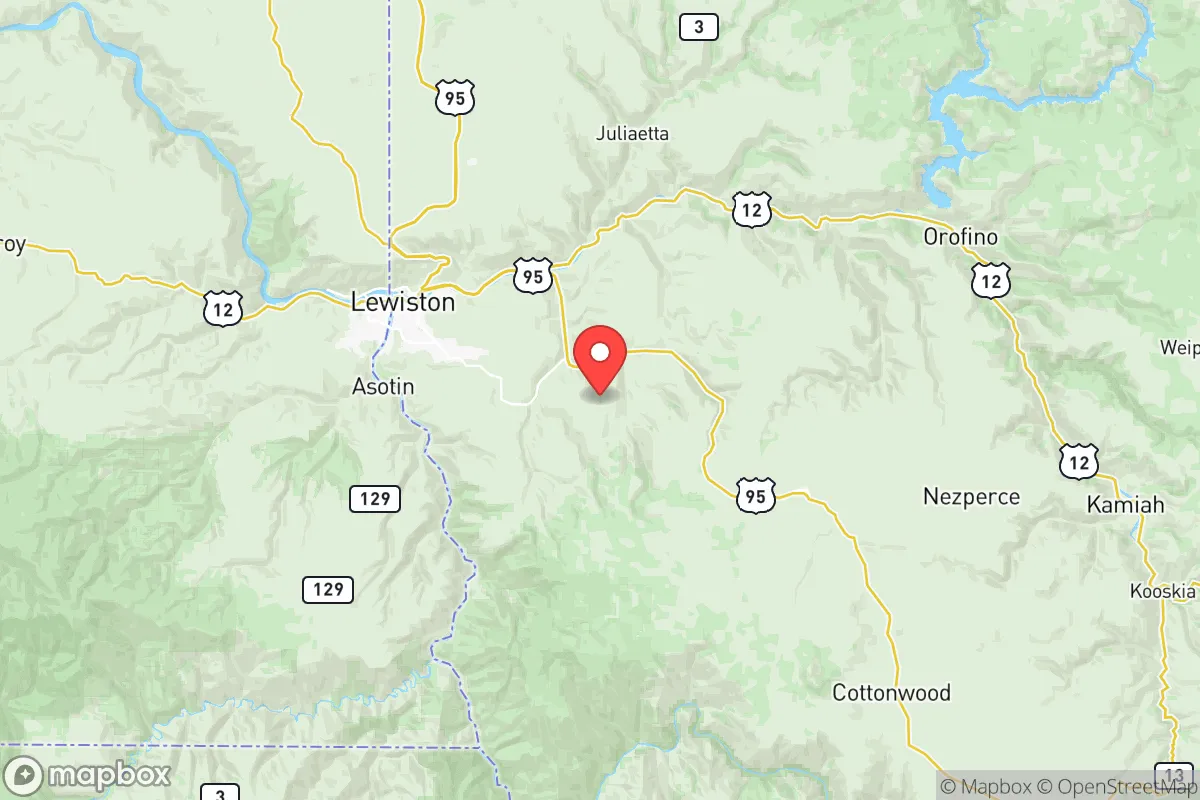
Nez Perce County offers a compelling strategic position for relocators prioritizing disaster readiness and long-term self-sufficiency, balancing access to essential infrastructure with significant distance from many high-risk urban and industrial targets. Located in north-central Idaho, the county’s seat, Lewiston, and its twin city, Clarkston, Washington, sit at the confluence of the Snake and Clearwater Rivers, creating a natural transportation corridor while remaining over 80 miles from the nearest mid-sized city, Spokane. This 190-mile buffer from Spokane’s metropolitan area, combined with the county’s position well outside the blast radius of any major U.S. strategic target, makes it a strong candidate for those seeking geographic insulation without complete isolation. The region’s modest population density—roughly 40,000 residents across 850 square miles—further reduces exposure to cascading risks associated with urban collapse, such as supply chain failures or mass migration events.
Geographic position and natural advantages for preparedness-minded relocators
Nez Perce County’s geography is defined by the rugged terrain of the Clearwater Mountains to the east and the broad, fertile Palouse Prairie to the north and west, offering both defensibility and agricultural potential. The Clearwater and Snake River valleys provide natural chokepoints—roads and rail lines follow these waterways, making it difficult for large-scale movement to pass through undetected or unhindered. The county’s elevation ranges from about 700 feet along the rivers to over 5,000 feet in the mountains, creating microclimates that support diverse food production, from wheat and lentils in the Palouse to orchards and vineyards in the lower valleys. For a relocator assessing water security, the two major rivers offer year-round flow, with the Snake River draining the entire region and the Clearwater providing a relatively clean mountain source. The county also sits atop the Columbia River Basalt Group, a massive aquifer system that supplies deep groundwater—an important backup if surface water becomes compromised. Timber is abundant in the eastern national forests, including portions of the Nez Perce-Clearwater National Forests, providing building material, fuel, and wildlife habitat. Critically, the region’s position at the western edge of the Rocky Mountains places it in a rain shadow, with annual precipitation averaging around 18 inches in the valley bottoms—dry enough to avoid flooding or mold issues but sufficient for dryland farming without irrigation. The Palouse’s deep, wind-deposited loess soils are among the most productive in the country, capable of growing staple grains, legumes, and forage crops with minimal inputs.
Risks, exposures, and proximity to fallout-relevant landmarks
While Nez Perce County avoids the acute threats of major metropolitan areas, it is not without vulnerabilities that a preparedness-minded reader should weigh. The most significant risk is seismic activity along the nearby Olympic-Wallowa Lineament, a fault system that produced a magnitude 6.8 quake near the county in 1910 and could generate a similar event today. A major quake could disrupt roads along the river canyons—especially U.S. Highway 12 through the Clearwater River Canyon and State Highway 95 along the Snake River—potentially isolating Lewiston for days or weeks. Dam failure is another credible threat: the Dworshak Dam, just 20 miles northeast of Lewiston, is the tallest straight-axis concrete dam in the Western Hemisphere, holding back 3.5 million acre-feet of water. While the dam is well-maintained, a catastrophic failure would inundate the entire Clearwater River valley, including parts of Lewiston, within hours. The county also sits roughly 120 miles downwind of the Hanford Site, a decommissioned nuclear production facility that still holds 56 million gallons of high-level radioactive waste. While prevailing winds blow eastward away from the county, any major release—whether from an accident, earthquake, or terrorist attack—could deposit fallout across the region within 6-12 hours. Military targets are distant but not absent: Mountain Home Air Force Base (about 180 miles south), Naval Air Station Whidbey Island (250 miles northwest), and Fairchild Air Force Base (Spokane, 130 miles north) are all within plausible secondary-effects radius for fallout or disruption from a nuclear exchange. On the industrial side, the Port of Lewiston is the farthest inland seaport on the West Coast, handling grain, timber, and containerized cargo via the Snake and Columbia Rivers. While an asset for trade, it also serves as a potential nodal target for disruption, as barges and rail lines carrying volatile fertilizers (ammonium nitrate, anhydrous ammonia) pass through Lewiston’s rail yard daily. The county does have a local refinery—the Lewiston-based Spokane-based Phillips 66 refinery (130 miles north) is actually closer than any local facility, and there are no significant chemical plants or fuel depots within the county itself, reducing the risk of a local cascade event.
Practical resilience for a relocator: food, water, energy, and defensibility
For a relocator assessing day-to-day self-sufficiency, Nez Perce County’s profile is strong but requires proactive planning. Food security is the county’s standout asset: the Palouse region produces roughly 20% of the nation’s lentils and chickpeas, along with significant wheat, barley, and canola crops. Local farmers’ markets, co-ops, and bulk grain suppliers mean a savvy relocator can stockpile staple foods directly from the source. The Clearwater River and lower Snake River offer year-round fishing—steelhead, salmon, and smallmouth bass—and the surrounding national forests provide deer, elk, and wild turkey during legal seasons. Water is the true competitive advantage: the county’s municipal water systems draw from deep basalt aquifers and surface sources, but for off-grid setups, shallow alluvial wells along the river valleys reach potable water at 20-40 feet, and deeper wells in the Palouse upland produce at 100-200 feet. The area’s hydroelectric infrastructure—including Dworshak Dam and several small dams on the Clearwater tributaries—provides abundant, grid-connected power, but a relocator should note that these same dams are single points of failure. Backup solar is viable: the county receives an average of 280 sunny days per year, and with no local utility-scale solar farms, rooftop panels are a practical supplement. Defensibility is moderate: the terrain offers natural chokepoints at the river canyons and mountain passes, but the valley floor is open farmland with limited cover. A homestead in the foothills east of Lewiston (e.g., near Juliaetta or Kendrick) would have better observation and defensible perimeter than one in the valley bottom. The county’s culture is heavily agricultural, with a high percentage of rural landowners accustomed to firearms, hunting, and food storage; a relocator arriving with good neighbors will find informal mutual-aid networks that don’t require formal organization.
Overall, Nez Perce County presents a balanced strategic picture for the relocation-minded reader: it is not a bug-out fantasy but a functional, low-risk region with genuine self-sufficiency potential. Its distance from major population centers and industrial targets is a real asset, though it remains vulnerable to specific natural hazards—earthquake, dam failure, and the tail risk of Hanford fallout. The food and water resources are among the best in the intermountain West, and the local culture aligns well with preparedness values. A relocator should plan for isolation of several weeks after a major quake or dam failure, stockpile accordingly, and secure a rural property with a reliable well. For those willing to embrace the pace and isolation of the Palouse, Nez Perce County offers a defensible, resource-rich redoubt that avoids the extremes of coastal or high-desert living.

* Values derived from national, state, county, city and local statistics and may differ in a specific area. Last updated: 2026-07-03T05:04:54.000Z
Narrative content on this page is AI-generated and may contain mistakes. Verify any details that matter before acting on them.
ReloMaps may earn a commission from affiliate links at no extra cost to you.

