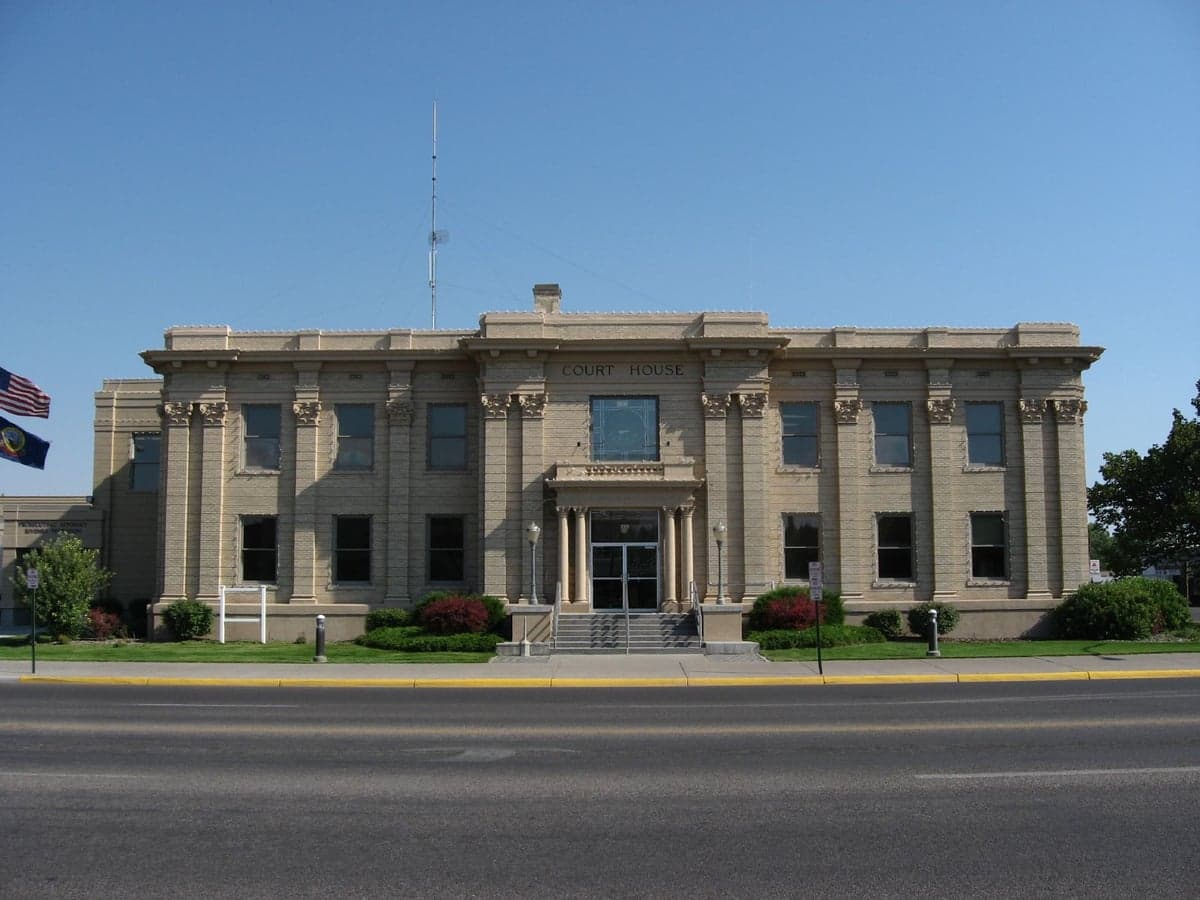
Photo: Wikipedia
Strategic Assessment of Madison County
Strong survivability profile. Good buffer from population centers, with manageable environmental and tactical risks.
What does the Strategic Assessment tell us?
Our Strategic Assessment grades tactical survivability of an area. Major population centers, military targets, fallout zones, natural disasters, and border exposure all drive risk — lower exposure means a more defensible position in a crisis.
This is heavily inspired by Joel Skousen's Strategic Relocation book. Highly recommended you checkout the book ($)What does this tell us?
Our Strategic Assessment grades tactical survivability of an area. Major population centers, military targets, fallout zones, natural disasters, and border exposure all drive risk — lower exposure means a more defensible position in a crisis.
This is heavily inspired by Joel Skousen's Strategic Relocation book. Highly recommended you checkout the book ($)Strategic Pillars

Key Distances
Strategic Assessment Analysis
Madison County, Idaho, anchored by the city of Rexburg, presents a compelling case for relocation-minded individuals and families who prioritize resilience, self-sufficiency, and a buffer from the vulnerabilities of major metropolitan corridors. Its location in the Upper Snake River Valley offers a unique blend of agricultural abundance, a strong community-oriented culture, and a physical distance from the most obvious man-made and natural disaster epicenters that plague other parts of the Intermountain West. For a conservative-leaning audience thinking seriously about long-term stability, this area’s combination of local food production, a reliable water table, and a politically cohesive population makes it a strategic choice worth a hard look.
Geographic position and natural advantages: The Upper Valley’s built-in buffer
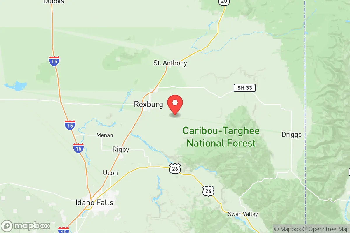
Madison County sits in a high-elevation basin (roughly 4,800 to 5,000 feet) surrounded by the Centennial Mountains to the north and the Caribou-Targhee National Forest to the east, creating a natural bowl that offers both scenic isolation and a degree of physical defensibility. The county’s primary population center, Rexburg, is roughly 30 miles northeast of Idaho Falls and about 80 miles southwest of West Yellowstone, Montana—placing it far from the Interstate 15 corridor’s denser traffic and the Wasatch Front’s urban sprawl. This distance from Salt Lake City (about 240 miles) and Boise (about 280 miles) means that in a widespread crisis, Madison County would not be the first destination for displaced populations from those larger hubs. The area’s agricultural foundation is its strongest natural advantage: the county sits atop the Eastern Snake River Plain Aquifer, one of the most productive groundwater systems in the nation, and the Snake River itself runs along the county’s western edge. This water abundance, combined with fertile volcanic soil, supports a robust local food system—potatoes, wheat, barley, and dairy operations dominate—meaning a relocator here is not dependent on distant supply chains for basic calories. The region’s cold, dry climate also limits many vector-borne diseases and reduces the risk of wildfires compared to the drier, more forested areas of central and southern Idaho.
Risks, exposures, and proximity to fallout-relevant landmarks
While Madison County avoids the most obvious fallout risks of coastal or refinery-heavy zones, it is not without its own specific exposures. The most significant man-made risk within a 100-mile radius is the Idaho National Laboratory (INL), located about 40 miles west of Rexburg near Arco. INL is a sprawling 890-square-mile Department of Energy complex that includes nuclear research reactors, spent fuel storage, and historical waste disposal sites. While the facility has a strong safety record, a major accident or targeted event at INL could theoretically release radioactive material; prevailing winds in the region generally blow from the southwest, which would carry fallout toward the sparsely populated desert areas east of the lab, but a shift could put Madison County in a downwind plume. Additionally, the Pocatello area (about 70 miles south) hosts a major rail hub and a large phosphate fertilizer plant that handles anhydrous ammonia, a potential chemical hazard. On the natural disaster front, the Hebgen Lake fault zone near West Yellowstone (about 80 miles northeast) is seismically active—the 1959 Hebgen Lake earthquake (magnitude 7.3) caused significant ground deformation and a landslide that dammed the Madison River. A recurrence could disrupt roads and power lines into the county, though the basin’s geology is relatively stable compared to the fault lines directly under the Wasatch Front. The Teton Dam failure of 1976, which devastated the nearby town of Sugar City (just north of Rexburg), is a stark reminder that the area’s water abundance comes with flood risk; however, modern dam inspections and early-warning systems have improved since that disaster. For a relocator, the key takeaway is that Madison County’s risks are primarily industrial and geological rather than the chronic urban violence or coastal storm surge threats found elsewhere, and the county’s low population density (about 100 people per square mile) inherently reduces exposure to cascading infrastructure failures.
Practical resilience for a relocator: Food, water, energy, and defensibility
For a family or individual serious about self-sufficiency, Madison County offers a rare combination of practical assets. Food security is the standout: the county is part of Idaho’s Magic Valley agricultural region, and local farmers’ markets, co-ops (like the Rexburg Farmers Market), and direct-from-farm purchasing are well-established. The growing season is short (roughly 90-120 frost-free days), but cold-hardy crops like potatoes, carrots, and kale thrive, and the abundance of irrigation water from the Snake River and the aquifer means that even in a drought year, agricultural output remains high. Water access is exceptional: most residential properties in the county have access to municipal water drawn from the aquifer, and rural properties often have private wells that tap into the same deep, clean source. The water table is shallow enough (typically 50-150 feet) that a hand pump or solar-powered well can be a realistic backup. Energy resilience is moderate: the county is served by Rocky Mountain Power, which draws from a mix of coal, hydro, and natural gas, but the region’s abundant sunshine (over 200 sunny days per year) makes solar panels a viable investment. The area’s cold winters (average January highs around 25°F) mean that a wood-burning stove or pellet stove is a practical primary heat source, and firewood is plentiful from the surrounding national forests. Defensibility is a mixed picture: the county’s open, agricultural landscape offers good visibility but limited natural cover. However, the community’s strong social cohesion—driven largely by the LDS (Mormon) majority, which emphasizes preparedness, food storage, and mutual aid—creates a de facto neighborhood watch and resource-sharing network. Rexburg’s layout, with a compact downtown and wide residential streets, is not designed for siege, but the surrounding rural areas (like the communities of Hibbard and Archer) offer more isolated homesteads with good sightlines and limited access roads. The nearest major military installation is Mountain Home Air Force Base (about 200 miles southwest), which is too distant to be a primary resource or a target in most scenarios. For a relocator, the practical takeaway is that Madison County allows a family to achieve a high degree of food and water independence within a few years, with a supportive community culture that values exactly that kind of preparedness.
Overall, Madison County, ID, offers a strategic balance that is rare in the modern Intermountain West: it is far enough from major population centers and high-value targets to avoid the worst cascading risks, yet close enough to essential services (hospitals in Rexburg and Idaho Falls, regional airports, and major highways) to avoid true isolation. The area’s agricultural base, abundant groundwater, and culturally ingrained preparedness ethos make it a strong candidate for a relocator who wants to build a resilient, self-sufficient life without moving to a remote off-grid location. The primary trade-offs are the cold winters, the proximity to INL’s nuclear infrastructure, and the limited economic diversity outside of agriculture and education (Brigham Young University-Idaho is the largest employer). For a conservative-leaning family or individual who values community, local food production, and a buffer from urban chaos, Madison County deserves serious consideration as a long-term base of operations.

* Values derived from national, state, county, city and local statistics and may differ in a specific area. Last updated: 2026-07-25T20:49:29.000Z
Narrative content on this page is AI-generated and may contain mistakes. Verify any details that matter before acting on them.
ReloMaps may earn a commission from affiliate links at no extra cost to you.

