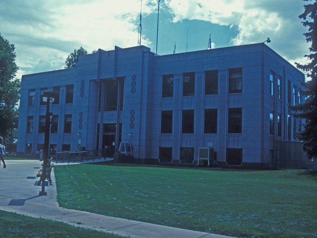
Photo: Wikipedia
Strategic Assessment of Gem County
Strong survivability profile. Good buffer from population centers, with manageable environmental and tactical risks.
What does the Strategic Assessment tell us?
Our Strategic Assessment grades tactical survivability of an area. Major population centers, military targets, fallout zones, natural disasters, and border exposure all drive risk — lower exposure means a more defensible position in a crisis.
This is heavily inspired by Joel Skousen's Strategic Relocation book. Highly recommended you checkout the book ($)What does this tell us?
Our Strategic Assessment grades tactical survivability of an area. Major population centers, military targets, fallout zones, natural disasters, and border exposure all drive risk — lower exposure means a more defensible position in a crisis.
This is heavily inspired by Joel Skousen's Strategic Relocation book. Highly recommended you checkout the book ($)Strategic Pillars

Key Distances
Strategic Assessment Analysis
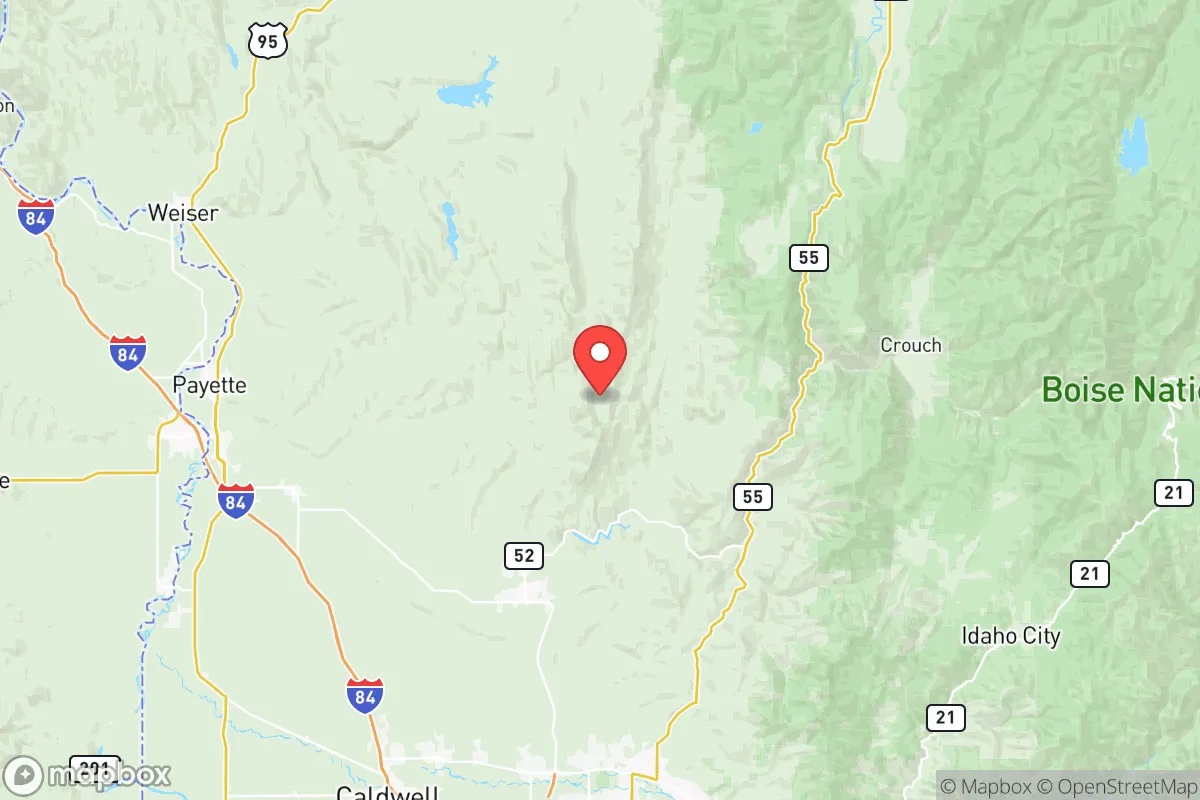
Gem County, Idaho, offers a compelling mix of geographic isolation and practical self-sufficiency that appeals to relocation-minded individuals and families prioritizing long-term resilience. Located in the southwestern part of the state, the county is anchored by the city of Emmett, which sits in the fertile Payette River Valley, roughly 30 miles northwest of Boise. This positioning provides a buffer from the dense population and infrastructure targets of the Treasure Valley while still allowing access to regional resources. The county’s strategic value lies in its combination of defensible terrain, agricultural capacity, and relative distance from major fallout-relevant landmarks, making it a serious contender for those evaluating disaster readiness and independent living.
Geographic position and natural advantages for long-term security
Gem County’s geography is defined by the Payette River corridor and the surrounding foothills of the West Mountains, which create natural chokepoints and defensible positions. The county’s elevation ranges from roughly 2,200 feet in the valley floor to over 7,000 feet in the higher peaks, offering varied microclimates and water catchment opportunities. The Payette River itself is a perennial water source, fed by snowmelt from the Boise National Forest to the north, which provides reliable surface water for irrigation and domestic use. This water security is a standout advantage: unlike many arid Western counties, Gem County has a robust network of irrigation canals and reservoirs, including the Black Canyon Dam on the Payette River, which supports both agriculture and municipal supply. The county’s agricultural base—centered on orchards, vineyards, hay, and livestock—means that local food production is not just possible but already established, reducing dependence on long supply chains. For a relocator, the ability to tap into existing farm stands, u-pick operations, and local grain mills in places like Emmett and the smaller community of Ola provides a tangible resilience buffer that many suburban counties lack.
Risks, exposures, and proximity to fallout-relevant landmarks
While Gem County benefits from distance, it is not immune to risks. The most significant man-made exposure comes from its proximity to the Boise metropolitan area, which houses the state’s largest population center, the Boise Airport (a potential military logistics hub), and the Mountain Home Air Force Base roughly 60 miles southeast. Mountain Home AFB is a key strategic asset, hosting fighter and reconnaissance aircraft, which could make it a target in a conflict scenario. Fallout patterns from a strike on the base or Boise would likely drift east-northeast with prevailing winds, placing Gem County in a downwind risk zone depending on weather conditions. Additionally, the Payette River itself, while a water asset, also poses a flood risk during rapid snowmelt or heavy rain events, particularly in low-lying areas near Emmett. The county’s location in the Intermountain Seismic Belt means it experiences occasional minor earthquakes, though major events are rare. Wildfire is a more immediate seasonal threat: the surrounding national forests and rangelands have seen increasing fire activity, with the 2024 Valley Fire burning over 1,000 acres near Emmett. For a relocator, the key takeaway is that Gem County’s risks are primarily natural and manageable, not industrial or nuclear—there are no refineries, major ports, or large-scale chemical plants within the county. The nearest significant industrial complex is the J.R. Simplot Company’s fertilizer operations in Pocatello, over 200 miles away, which is too distant to pose a direct hazard.
Practical resilience for a relocator: food, water, energy, and defensibility
For someone serious about self-sufficiency, Gem County delivers on the basics. Water is the strongest pillar: the county’s groundwater aquifers are generally productive, and many rural properties have existing wells or access to irrigation districts. The Payette River and its tributaries—like the North Fork Payette and Squaw Creek—offer surface water for off-grid systems, though legal access and rights must be verified. Food production is viable year-round in the valley, with a growing season of roughly 120–150 days, suitable for cold-hardy crops, fruit trees, and small livestock. The county’s agricultural extension office and local seed exchanges in Emmett support a culture of home gardening and animal husbandry. Energy infrastructure is mixed: the grid is served by Idaho Power, which relies heavily on hydroelectric generation from the Snake River system, making it relatively stable but vulnerable to drought. Solar potential is good, with over 200 sunny days per year, and off-grid solar setups are common on rural properties. Wood heating is also practical, given the nearby national forests, though firewood permits are required. Defensibility is a standout feature: the county’s terrain creates natural bottlenecks, with only a few main roads—primarily Idaho State Highway 16 and Highway 52—providing access from the Treasure Valley. Rural properties in the foothills or along the river can be sited with clear sightlines and limited approach routes, offering a tactical advantage. The county’s population density is low—roughly 18 people per square mile—which reduces competition for resources in a crisis. However, the Emmett city limits and the unincorporated community of Sweet are more densely populated and would likely see higher demand on local supplies during an emergency.
The overall strategic picture for Gem County is one of balanced opportunity with clear trade-offs. Its geographic isolation from major military and industrial targets, combined with abundant water and agricultural capacity, makes it one of the more resilient counties in the Intermountain West for a relocator focused on disaster readiness. The primary drawbacks are the wildfire risk and the potential for fallout from a strike on Mountain Home Air Force Base or Boise, though these are probabilistic rather than certain. For a family or individual willing to invest in off-grid infrastructure—well water, solar panels, food storage, and defensible space—Gem County offers a realistic foundation for long-term self-sufficiency. The local culture in Emmett and the surrounding areas is pragmatic and independent, with a strong agricultural heritage that aligns with the values of preparedness-minded relocators. In short, Gem County is not a fortress, but it is a solid, defensible base camp with the natural resources to sustain a deliberate, resilient lifestyle.

* Values derived from national, state, county, city and local statistics and may differ in a specific area. Last updated: 2026-07-02T08:28:59.000Z
Narrative content on this page is AI-generated and may contain mistakes. Verify any details that matter before acting on them.
ReloMaps may earn a commission from affiliate links at no extra cost to you.

