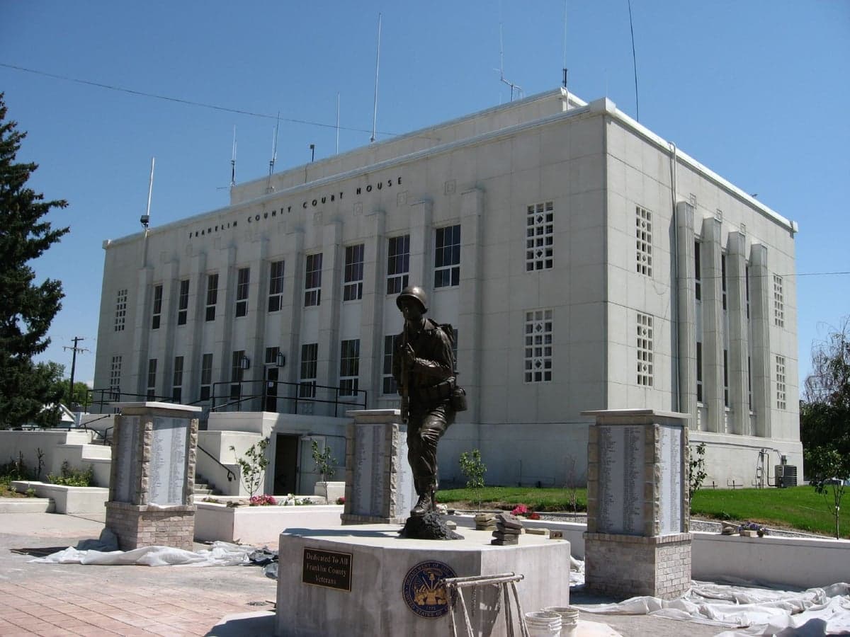
Photo: Wikipedia
Strategic Assessment of Franklin County
Deep buffer from population centers and strategic targets. Low natural disaster risk and minimal exposure to border or coastal threats.
What does the Strategic Assessment tell us?
Our Strategic Assessment grades tactical survivability of an area. Major population centers, military targets, fallout zones, natural disasters, and border exposure all drive risk — lower exposure means a more defensible position in a crisis.
This is heavily inspired by Joel Skousen's Strategic Relocation book. Highly recommended you checkout the book ($)What does this tell us?
Our Strategic Assessment grades tactical survivability of an area. Major population centers, military targets, fallout zones, natural disasters, and border exposure all drive risk — lower exposure means a more defensible position in a crisis.
This is heavily inspired by Joel Skousen's Strategic Relocation book. Highly recommended you checkout the book ($)Strategic Pillars

Key Distances
Strategic Assessment Analysis
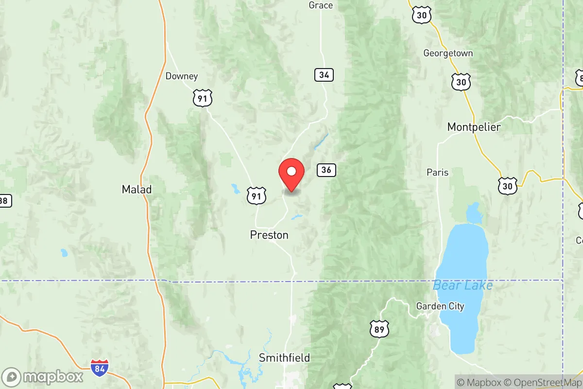
Franklin County, Idaho, offers a compelling strategic profile for relocators prioritizing disaster readiness and self-sufficiency, combining a low population density with a location that is both remote from major metropolitan targets and proximate to essential infrastructure. The county's position in the southeastern corner of the state, bordering Utah and Wyoming, places it outside the immediate fallout zones of major cities like Salt Lake City (roughly 140 miles southwest) and Boise (over 300 miles west), while still providing access to regional supply chains and medical facilities in Logan, Utah, just across the state line. For a reader evaluating long-term resilience, Franklin County presents a balanced mix of natural advantages and manageable risks, anchored by the small communities of Preston (the county seat), Franklin, and Weston.
Geographic position and natural advantages for long-term security
Franklin County's geography is defined by the Bear River Range and the Cache Valley, a fertile basin that provides both natural defensibility and agricultural potential. The valley floor, sitting at roughly 4,500 feet elevation, is ringed by mountains that create a natural barrier against large-scale population movement, while the Bear River itself offers a reliable surface water source. The county's location along the Wasatch Front places it in a seismically active zone, but the region's building codes have been updated since the 2020 Magna earthquake (5.7 magnitude) to improve structural resilience. The area's cold semi-arid climate means annual precipitation averages 16-18 inches, with most falling as snow, which supports a reliable snowpack for spring runoff but requires careful water management during dry years. The proximity to Franklin Basin and the Caribou-Targhee National Forest provides immediate access to timber, game, and forage, which are critical for a self-sufficient lifestyle. The county's elevation also reduces the risk of wildfire compared to lower-elevation intermountain areas, though the surrounding forests do carry moderate fire risk in late summer.
Risks, exposures, and proximity to fallout-relevant landmarks
Franklin County's primary risk profile centers on its proximity to Hill Air Force Base (roughly 90 miles southwest), which houses the F-35A Lightning II fleet and is a high-priority target in a conflict scenario. The prevailing winds from the southwest would carry fallout from a strike on Hill AFB toward the northeast, placing Franklin County in a potential downwind zone, though the distance and mountain barriers would significantly dilute any contamination. The county is also roughly 120 miles from the Idaho National Laboratory (INL) near Idaho Falls, a major nuclear research facility that could be a secondary target. On the natural hazard side, the Wasatch Fault runs through the Cache Valley, and a major earthquake (estimated 7.0+ magnitude) could disrupt the Logan Canyon transportation corridor, which is the primary route to regional medical and supply hubs in Logan, Utah. The county's reliance on a single major highway—US-91—for north-south travel creates a chokepoint vulnerability, as a bridge failure or landslide could isolate Preston from the rest of the valley. Flooding is a localized risk along the Bear River and its tributaries, particularly during rapid snowmelt in April and May, but the county's floodplain management has improved since the 2011 floods that damaged several homes in the Franklin area.
Practical resilience for a relocator: food, water, energy, and defensibility
Franklin County's agricultural base is its strongest resilience asset. The Cache Valley is one of the most productive agricultural regions in the Intermountain West, with over 150,000 acres of irrigated farmland in the broader valley, producing hay, barley, wheat, and dairy products. For a relocator, this means local food sources are abundant and accessible through farmers' markets in Preston and direct farm sales. The Bear River and its tributaries provide a reliable surface water supply, though water rights are fully allocated, so any new homestead would need to secure existing rights or rely on groundwater wells (the aquifer is deep but generally productive at 200-400 feet). The county's energy grid is served by Rocky Mountain Power, with natural gas available in Preston and Franklin, but rural properties typically rely on propane or heating oil. Solar potential is good, with over 220 sunny days per year, though winter snow cover requires panel tilting or manual clearing. Defensibility is strong due to the valley's natural bowl shape and limited entry points—the main routes are US-91 from the south, ID-36 from the west, and ID-34 from the east, all of which can be monitored from elevated positions. The county's low population density (roughly 14 people per square mile) and strong community networks in towns like Weston and Dayton mean that mutual aid and local governance can function effectively during disruptions. The Franklin County Sheriff's Office maintains a small but capable force, and the proximity to Cache County, Utah provides backup resources within 30 minutes.
The overall strategic picture for Franklin County is one of moderate resilience with specific, manageable vulnerabilities. Its distance from major metropolitan targets and its agricultural self-sufficiency make it a strong candidate for a relocator focused on long-term preparedness, but the risks from Hill AFB and the Wasatch Fault require concrete mitigation plans—such as stockpiling potassium iodide for fallout scenarios and reinforcing structures for seismic events. The county's location offers a rare combination of remote security and practical access: you can be self-sufficient on a 10-acre parcel near Franklin while still reaching a Level II trauma center in Logan within 40 minutes. For a family or individual willing to invest in water storage, seismic retrofitting, and community integration, Franklin County provides a defensible, resource-rich base that balances isolation with the support network of a functioning rural economy. The key trade-off is between the area's natural advantages and its position within a broader regional target zone—a calculation that ultimately depends on the relocator's specific threat model and tolerance for residual risk.

* Values derived from national, state, county, city and local statistics and may differ in a specific area. Last updated: 2026-07-02T18:10:17.000Z
Narrative content on this page is AI-generated and may contain mistakes. Verify any details that matter before acting on them.
ReloMaps may earn a commission from affiliate links at no extra cost to you.

