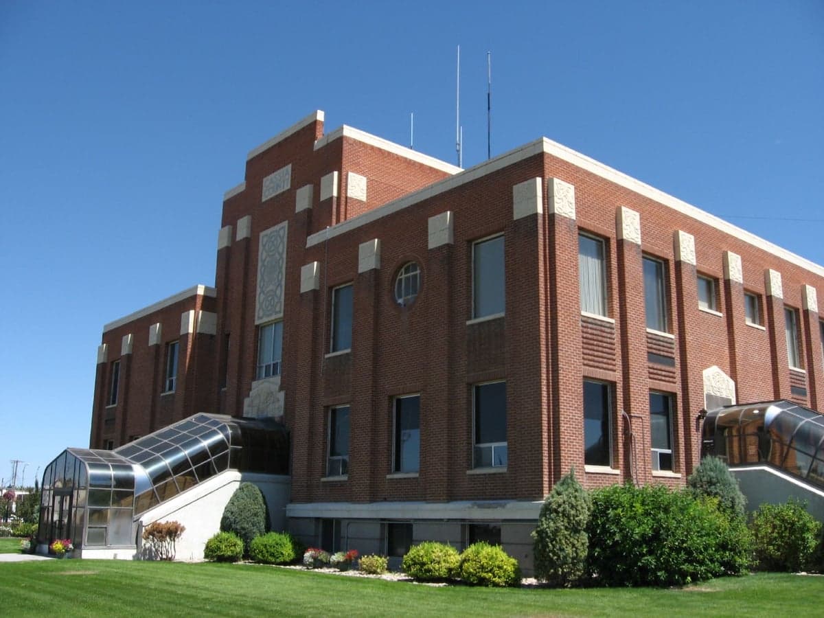
Photo: Wikipedia
Strategic Assessment of Cassia County
Strong survivability profile. Good buffer from population centers, with manageable environmental and tactical risks.
What does the Strategic Assessment tell us?
Our Strategic Assessment grades tactical survivability of an area. Major population centers, military targets, fallout zones, natural disasters, and border exposure all drive risk — lower exposure means a more defensible position in a crisis.
This is heavily inspired by Joel Skousen's Strategic Relocation book. Highly recommended you checkout the book ($)What does this tell us?
Our Strategic Assessment grades tactical survivability of an area. Major population centers, military targets, fallout zones, natural disasters, and border exposure all drive risk — lower exposure means a more defensible position in a crisis.
This is heavily inspired by Joel Skousen's Strategic Relocation book. Highly recommended you checkout the book ($)Strategic Pillars

Key Distances
Strategic Assessment Analysis
Cassia County, Idaho, offers a compelling strategic profile for relocators prioritizing resilience and self-sufficiency, anchored by its position in the agricultural Magic Valley region and its distance from major metropolitan targets. The county seat, Burley, and its twin city Rupert sit along the Snake River, providing a reliable water source and fertile ground, while the broader area remains far removed from the high-risk corridors of the West Coast, Intermountain Front, or Eastern Seaboard. For a reader weighing disaster readiness, Cassia County’s combination of rural isolation, working landscape, and low population density (roughly 24,000 residents across 2,580 square miles) creates a baseline of strategic advantage that few more accessible regions can match.
Geographic position and natural advantages for self-sufficiency
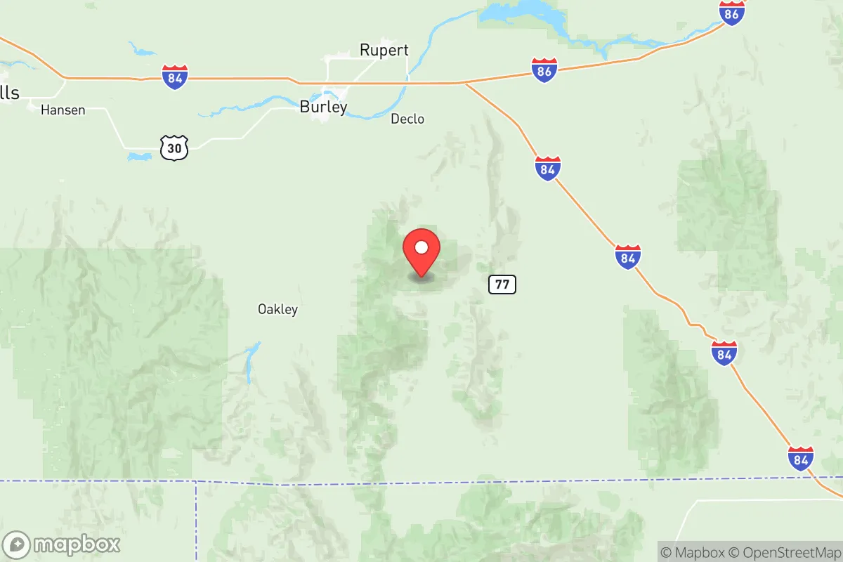
Cassia County’s location in south-central Idaho places it in a natural buffer zone: roughly 150 miles from the Boise metropolitan area, 120 miles from the Salt Lake City region, and over 200 miles from the Nevada Test Site or any major nuclear infrastructure. The Snake River Plain provides a broad, flat agricultural basin, while the Albion Mountains and Cache Peak range to the south offer defensible terrain and dispersed settlement options. The county’s position along the Oregon Trail corridor historically made it a waypoint, but today that same geography—away from interstate choke points like I-84’s tight passes—means fewer through-traffic risks. Burley and Rupert sit at the heart of a region producing potatoes, sugar beets, wheat, and alfalfa, giving residents direct access to local food systems that are less dependent on long supply chains. The nearby Minidoka National Wildlife Refuge and Sawtooth National Forest provide additional buffer zones and potential foraging or timber resources, though the county’s semi-arid climate (averaging 10-12 inches of precipitation annually) means water management is a practical consideration, not a given.
Risks, exposures, and proximity to fallout-relevant landmarks
While Cassia County is far from the highest-risk zones, it is not without exposure. The county lies within the broader Intermountain seismic zone, and the Wasatch Fault to the east and the Yellowstone Caldera to the northeast represent low-probability, high-consequence geological risks. More immediate for a resilience-minded relocator is the county’s proximity to the Idaho National Laboratory (INL) about 90 miles northeast, near Idaho Falls. INL is a major nuclear research and waste storage facility; while an accident or sabotage event is unlikely, its presence is a relevant data point for anyone mapping fallout-relevant landmarks. Additionally, the Union Pacific rail line running through Burley and Rupert carries freight including hazardous materials, and the county’s agricultural infrastructure—fertilizer storage, anhydrous ammonia tanks—presents localized chemical risks. On the positive side, there are no major military bases, refineries, or ports within 100 miles, and the nearest interstate (I-84) runs along the county’s northern edge, meaning most through-traffic and associated risks bypass the population centers. The county’s low population density also reduces the likelihood of civil unrest or resource competition in a crisis scenario, though the small towns of Declo, Malta, and Albion would see pressure from any regional evacuation flow.
Practical resilience for a relocator: food, water, energy, and defensibility
For a relocator serious about self-sufficiency, Cassia County’s practical resilience is strong but requires active preparation. The Snake River and its aquifer provide the county’s primary water source, with irrigation districts and groundwater rights well-established; a property with senior water rights or direct river access is a significant asset. The agricultural base means local food production is not just possible but dominant—farm stands, co-ops, and direct-from-farm purchasing are common in Burley and Rupert, and the county’s processing plants (including a large potato processing facility in Heyburn) offer backup supply channels. Energy resilience is mixed: Rocky Mountain Power provides grid electricity from a mix of coal, hydro, and natural gas, but the county’s rural character means many properties already rely on propane, wood, or solar for heating. Defensibility is a standout feature—the county’s dispersed settlement pattern, with homes set back from roads and separated by agricultural fields, naturally limits approach vectors. The Albion Mountains to the south offer retreat options with forest cover and elevation, while the open plain makes unauthorized movement visible at distance. However, the county’s semi-arid climate and cold winters (average January lows in the teens) mean that fuel, winter clothing, and stored food are non-negotiable for year-round resilience. The local healthcare infrastructure is limited to small clinics and a critical access hospital in Burley; serious medical emergencies would require evacuation to Twin Falls (45 minutes) or Salt Lake City (2.5 hours), a factor to weigh for families with chronic health needs.
Overall, Cassia County presents a balanced strategic picture for the resilience-minded relocator: strong natural advantages in water, food, and defensibility, tempered by real but manageable risks from geological events and distant infrastructure. The county’s isolation from major targets and its working agricultural economy provide a foundation that few other regions in the Intermountain West can match at a comparable price point. For a family or individual willing to invest in water storage, backup heating, and community integration, Cassia County offers a defensible, productive base of operations that is neither alarmist fantasy nor naive retreat—it is a practical, data-backed choice for serious preparedness.

* Values derived from national, state, county, city and local statistics and may differ in a specific area. Last updated: 2026-07-15T16:03:06.000Z
Narrative content on this page is AI-generated and may contain mistakes. Verify any details that matter before acting on them.
ReloMaps may earn a commission from affiliate links at no extra cost to you.

