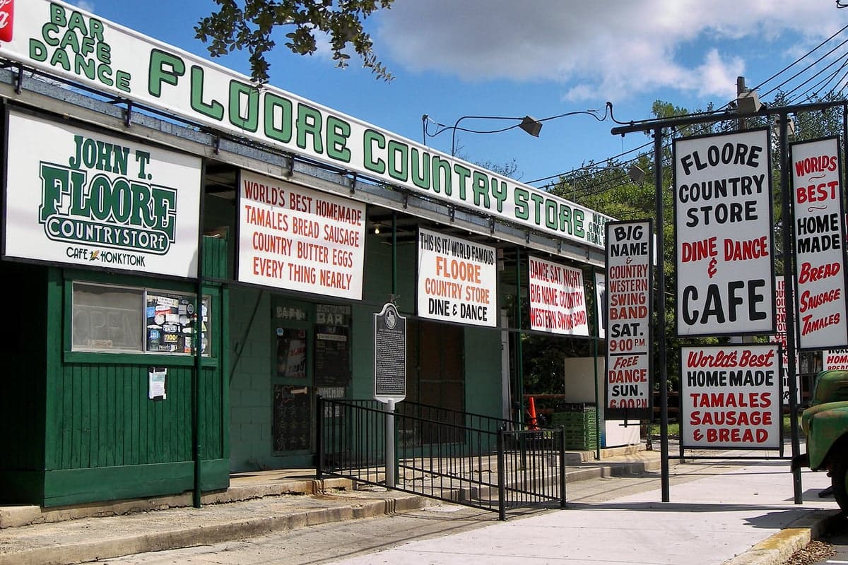
Photo: Wikipedia
Strategic Assessment of Helotes, TX
Multiple tactical vulnerabilities. Population density, target proximity, or disaster risk are likely compounding. A retreat property and exit planning is required.
What does the Strategic Assessment tell us?
Our Strategic Assessment grades tactical survivability of an area. Major population centers, military targets, fallout zones, natural disasters, and border exposure all drive risk — lower exposure means a more defensible position in a crisis.
This is heavily inspired by Joel Skousen's Strategic Relocation book. Highly recommended you checkout the book ($)What does this tell us?
Our Strategic Assessment grades tactical survivability of an area. Major population centers, military targets, fallout zones, natural disasters, and border exposure all drive risk — lower exposure means a more defensible position in a crisis.
This is heavily inspired by Joel Skousen's Strategic Relocation book. Highly recommended you checkout the book ($)Strategic Pillars

Key Distances
Regional Safe Places
Below is our recommended "safe zones" in Texas and the surrounding area based on our strategic heuristics. For most people, it's unrealistic to live in a “safe zone” full-time due to work, family or other personal reasons. They tend to be more rural. However, many of these areas are perfect for second homes and retreat properties that double as a vacation home or even a short-term rental.

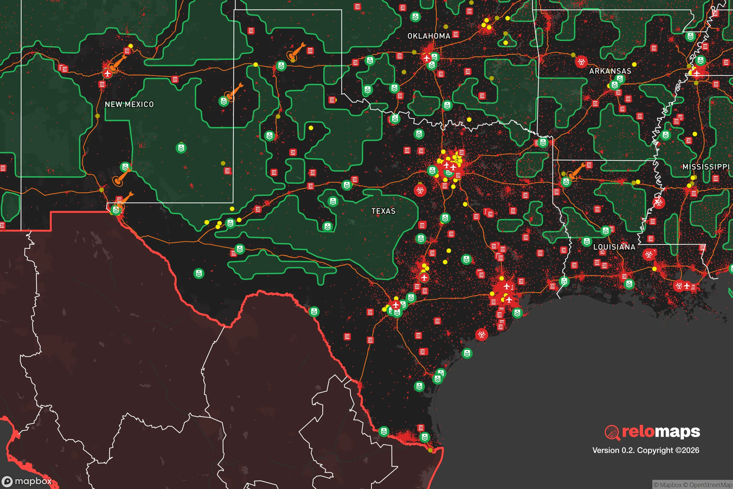


Important Note: For informational purposes only. This does not mean nothing bad ever happens in the green zones. Please use common sense. This is based on public data and modeled with AI. We tried to take a conservative approach but mistakes happen. We update this regularly as new information becomes available.
Solar Generator Recommendations
Backup power matters more here than in safer locations. We've picked three solar generators across budgets and capacity tiers — start with the budget unit if you only need a few essentials, or step up if you want to run a fridge and HVAC for days at a time.

Jackery Portable Power Station Explorer 300
Budget OptionPower on the Go: Weighing only 11 lbs, it's convenient to set up and store with book-sized foldable solar panels

BLUETTI Portable Power Station AC180
Designed for both indoor and outdoor scenarios, AC180 is highly capable as it has a robost capacity and continuous output power.

EF ECOFLOW DELTA Pro Ultra Power Station
Upgraded PickEcoFlow DELTA Pro Ultra is a whole-home energy system designed to grow with your family. Integrated with the Smart Home Panel 2, it scales to meet your evolving energy needs — keeping your home powered, intelligent, and secure through every stage of life.
We earn a commission, at no additional cost to you.
Strategic Assessment Analysis
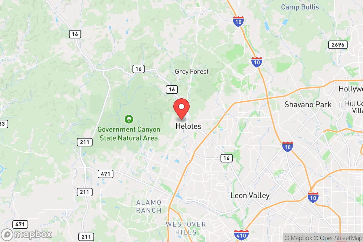
Helotes sits on the northwestern edge of Bexar County, roughly 15 miles from downtown San Antonio, and its resilience profile is shaped almost entirely by that position: elevated Hill Country terrain, a small-town government that has actively resisted annexation, and a location that keeps it out of the flood-prone river corridors that trouble the city below. For a reader weighing disaster readiness and self-sufficiency, Helotes is best understood as a semi-rural buffer zone — close enough to a major metro for employment and medical care, far enough west and uphill to avoid the worst of San Antonio's flood and industrial exposure, but still inside the economic and infrastructure orbit of a metro of 2.6 million people.
Where Helotes sits geographically and what that terrain buys you
Helotes occupies the transition zone between the Edwards Plateau and the Gulf Coastal Plain, with elevations climbing from roughly 900 feet near Loop 1604 to over 1,200 feet in the hills west of town. That topography matters in practical terms. The town drains toward Helotes Creek and the Medina River rather than into the San Antonio River basin, and its position on the plateau edge means it sits above — not inside — the flash-flood corridors that make Bexar County one of the most flood-prone counties in Texas. The area's rainfall recharges the Edwards Aquifer, which supplies most of the region's drinking water and gives Helotes a groundwater buffer that coastal Texas cities lack. Prevailing weather arrives from the south and southwest, and the town's western flank opens onto the Balcones Canyonlands and the rural Hill Country counties of Medina and Bandera — a low-density buffer that stretches for dozens of miles before the next significant settlement.
That western openness is the town's single biggest structural asset. Unlike suburbs ringed by continuous development, Helotes has a genuine rural edge, with large-lot subdivisions, ranch land, and the Government Canyon State Natural Area's 8,600-plus acres immediately to the southwest. For anyone thinking about evacuation routes, water independence, or simply distance from dense population, that geography is a real advantage.
Risks, exposures, and proximity to fallout-relevant landmarks
The dominant risk in Helotes is not natural — it is proximity to San Antonio's military and industrial infrastructure. Joint Base San Antonio–Lackland, the largest military training installation in the Department of Defense, sits roughly 12 to 15 miles south of Helotes, and JBSA–Randolph lies about 20 miles east. Camp Bullis, a 28,000-acre training reservation, borders the area to the northeast. In any strategic-exchange scenario, these installations are plausible targets, and Helotes falls within the downwind and blast-shadow geography of the San Antonio military complex. The city's industrial south side — including petroleum refining, the Toyota manufacturing plant, and the Port San Antonio complex — adds chemical and industrial hazard exposure, though prevailing southerly winds typically push airborne contamination north and east, away from Helotes.
Natural hazards are more moderate but real. The Edwards Aquifer's recharge zone means the area is sensitive to drought and to groundwater contamination from development; the 2011–2015 drought and recurring Stage 3–4 restrictions at the San Antonio Water System show how quickly supply pressure builds. Wildfire is a growing concern across the Hill Country's cedar and oak cover, and the town sits in a region where summer heat routinely exceeds 100°F for weeks. Severe thunderstorms and hail are common; tornado risk is present but lower than in North Texas. On the man-made side, the metro's growth brings traffic and grid dependence — Helotes draws power from the ERCOT grid, which has weathered near-miss winter events since 2021 and remains vulnerable to extreme cold and heat. The town's own water utility and the Bexar County emergency management structure provide basic services, but there is no meaningful local shelter infrastructure for a large-scale event.
Practical resilience for a relocator: food, water, energy, and defensibility
For a household serious about preparedness, Helotes offers a workable but not self-sufficient base. Water is the strongest card: the Edwards Aquifer and private wells on larger lots west of town give many properties an independent supply, and rainfall catchment is viable given the area's 30-plus inches of annual precipitation. Food production is feasible on the acre-plus lots common in the area's rural subdivisions, though the thin Hill Country soil and summer heat limit yields without irrigation and shade. Energy resilience depends heavily on the property: ERCOT grid power is reliable in normal conditions but exposed to extreme-weather events, and a backup generator or solar-plus-battery system is a reasonable investment given the heat. Defensibility is moderate — the town's low density and single main access via Bandera Road (State Highway 16) and Loop 1604 mean chokepoints in an evacuation, but also limited through-traffic and a cohesive, small-town civic structure. The Helotes Police Department and Bexar County Sheriff's Office provide local law enforcement, and the town's incorporation in 1981 was itself a defensive move against San Antonio annexation — a signal of the community's preference for local control.
Practically, a relocator should plan for a 72-hour to two-week disruption: stored water, a generator or solar backup, a stocked pantry, and a vehicle with fuel reserves. The bigger strategic question is whether the San Antonio metro's growth — projected to add another million residents by 2040 — will erode the rural buffer that makes Helotes attractive. Development pressure along Loop 1604 and the westward push of suburban subdivisions is the slow-moving risk that matters most over a 10-to-20-year horizon.
Helotes is a sensible choice for a household that wants Hill Country terrain, groundwater access, and a small-town civic culture without abandoning metro employment and medical care — but it is not a remote redoubt. Its resilience is real but partial: strong on water and geography, moderate on energy and food, and constrained by its position inside the San Antonio military and industrial orbit. The right posture for a relocator is not isolation but layered preparedness — independent water and power on your own property, a stocked and practiced household plan, and an awareness that the town's long-term character depends on how the metro's westward expansion is managed. For a conservative, family-oriented buyer who values local control and practical self-reliance, Helotes rewards that posture better than most of Bexar County, provided you go in with clear eyes about what the location does and does not protect you from.

* Values derived from national, state, county, city and local statistics and may differ in a specific area. Last updated: 2026-11-03T01:41:49.000Z
Narrative content on this page is AI-generated and may contain mistakes. Verify any details that matter before acting on them.
ReloMaps may earn a commission from affiliate links at no extra cost to you.

