 Popular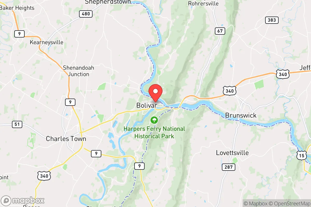
Strategic Assessment of Harpers Ferry, WV
Meaningful friction. Expect exposure to either population pressure, blast zones, or natural disaster risk. Consider buying a retreat property.
What does the Strategic Assessment tell us?
Our Strategic Assessment grades tactical survivability of an area. Major population centers, military targets, fallout zones, natural disasters, and border exposure all drive risk — lower exposure means a more defensible position in a crisis.
This is heavily inspired by Joel Skousen's Strategic Relocation book. Highly recommended you checkout the book ($)What does this tell us?
Our Strategic Assessment grades tactical survivability of an area. Major population centers, military targets, fallout zones, natural disasters, and border exposure all drive risk — lower exposure means a more defensible position in a crisis.
This is heavily inspired by Joel Skousen's Strategic Relocation book. Highly recommended you checkout the book ($)Strategic Pillars

Key Distances
Regional Safe Places
Below is our recommended "safe zones" in West Virginia and the surrounding area based on our strategic heuristics. For most people, it's unrealistic to live in a “safe zone” full-time due to work, family or other personal reasons. They tend to be more rural. However, many of these areas are perfect for second homes and retreat properties that double as a vacation home or even a short-term rental.




Important Note: For informational purposes only. This does not mean nothing bad ever happens in the green zones. Please use common sense. This is based on public data and modeled with AI. We tried to take a conservative approach but mistakes happen. We update this regularly as new information becomes available.
Solar Generator Recommendations
Backup power matters more here than in safer locations. We've picked three solar generators across budgets and capacity tiers — start with the budget unit if you only need a few essentials, or step up if you want to run a fridge and HVAC for days at a time.

Jackery Portable Power Station Explorer 300
Budget OptionPower on the Go: Weighing only 11 lbs, it's convenient to set up and store with book-sized foldable solar panels

BLUETTI Portable Power Station AC180
Designed for both indoor and outdoor scenarios, AC180 is highly capable as it has a robost capacity and continuous output power.

EF ECOFLOW DELTA Pro Ultra Power Station
Upgraded PickEcoFlow DELTA Pro Ultra is a whole-home energy system designed to grow with your family. Integrated with the Smart Home Panel 2, it scales to meet your evolving energy needs — keeping your home powered, intelligent, and secure through every stage of life.
We earn a commission, at no additional cost to you.
Strategic Assessment Analysis
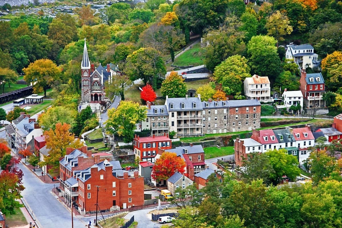
Harpers Ferry, West Virginia, occupies a unique strategic position that balances significant natural advantages with real exposure to risks that a disaster-conscious relocator must weigh carefully. Situated at the confluence of the Potomac and Shenandoah Rivers, roughly 60 miles from Washington, D.C., the town sits within a rugged, mountainous corridor that has historically been both a defensive stronghold and a transportation chokepoint. For someone thinking seriously about resilience, self-sufficiency, and long-term preparedness, Harpers Ferry offers a mixed picture: strong geographic defensibility and access to water, but proximity to major population centers and critical infrastructure that could become liabilities in a crisis.
Geographic position and natural defensive advantages
Harpers Ferry's location at the junction of two major rivers, surrounded by the steep ridges of the Blue Ridge Mountains, provides a naturally defensible terrain that is rare in the eastern United States. The town itself sits on a low-lying peninsula, but the surrounding area—particularly the higher elevations in Jefferson County and adjacent Loudoun County, Virginia—offers numerous sites with commanding views and limited approach routes. The terrain is rugged enough to slow movement and provide cover, which is a genuine asset for anyone thinking about security or retreat. The region's karst geology, with its limestone bedrock and numerous springs, also means reliable groundwater access in many areas, a key factor for long-term water independence. The Shenandoah Valley to the southwest and the Potomac corridor to the east provide natural travel routes, but these same corridors are also potential avenues for movement during a crisis—both for those seeking refuge and for those you might wish to avoid. The area's elevation, generally between 300 and 1,500 feet, keeps it cooler than the lowland cities in summer and reduces some flood risk at higher elevations, though the town itself is flood-prone. For a relocator, the key takeaway is that the terrain offers genuine defensive and water-access advantages, but only if you choose a site above the floodplain and away from the main transportation corridors.
Risks, exposures, and proximity to fallout-relevant landmarks
The most significant strategic drawback of Harpers Ferry is its proximity to the Washington, D.C. metropolitan area, a primary target for any major geopolitical conflict. At roughly 60 miles from the Capitol, the town lies within the zone that could experience fallout, secondary effects, or large-scale population displacement from a nuclear event or major attack on the capital. The Potomac River corridor directly links Harpers Ferry to D.C., meaning that any evacuation or panic-driven movement from the capital would likely flow through this area, potentially overwhelming local resources. Additionally, the region contains several infrastructure assets that could become secondary targets or points of failure: the Point of Rocks rail bridge and the CSX mainline just east of town, the C&O Canal and major power transmission lines running through the gorge, and the proximity to the Fort Detrick biodefense lab in Frederick, Maryland, about 20 miles northeast. Natural disaster risks are more localized but real: the town itself has a history of severe flooding, most notably in 1936, 1972 (Hurricane Agnes), and 1985, when the Potomac and Shenandoah inundated the lower town. Wildfire risk is moderate in the surrounding forested ridges, and the area lies in a low-to-moderate seismic zone. For a relocator, the calculus is clear: the area's proximity to a primary target zone is a genuine liability, though the mountains and distance provide some buffer that closer-in suburbs lack entirely.
Practical resilience for a relocator: food, water, energy, and defensibility
For someone serious about self-sufficiency, Harpers Ferry and the surrounding Jefferson County area offer a mixed but workable foundation. Water is the strongest asset: the Potomac and Shenandoah provide abundant surface water, and the region's limestone aquifers support reliable wells at depths of 100 to 300 feet in most areas outside the floodplain. However, surface water from the rivers would require filtration and treatment, as agricultural runoff and upstream development affect quality. Food resilience is moderate: the Shenandoah Valley is productive agricultural land, and Jefferson County has a number of small farms, orchards, and livestock operations. A relocator with land could reasonably establish a substantial garden and small livestock operation, but the growing season is relatively short (about 170 days) and the soil in the higher ridges is thin and rocky. Local food production would supplement, not replace, stored supplies. Energy resilience is a weaker point: the area is served by Potomac Edison (FirstEnergy) and the grid is vulnerable to storm-related outages, particularly from ice storms and high winds. Solar potential is decent but not exceptional—the region averages about 4.5 peak sun hours per day—and tree cover on many properties limits rooftop solar viability without clearing. Wood heating is practical given the forested terrain, and many rural properties already have wood stoves or fireplaces. Defensibility is the area's strongest resilience feature: the terrain limits approach routes, and a well-chosen property on a ridge with a single access road offers genuine security. However, the town itself is not defensible—it's a tourist destination with limited egress routes that would become choked in a crisis. The practical advice for a relocator is to focus on properties outside the town, above the floodplain, with well water, solar or wood heat potential, and a single access point.
The overall strategic picture for Harpers Ferry is one of trade-offs rather than clear strengths or weaknesses. The area offers genuine natural advantages—defensible terrain, abundant water, and a moderate climate—that make it a viable option for a disaster-conscious relocator who prioritizes security and self-sufficiency. But those advantages are offset by the very real risks of proximity to Washington, D.C., the vulnerability of the transportation corridors that run through the area, and the town's own flood history. For someone willing to invest in property outside the floodplain, develop independent water and energy systems, and maintain a low profile, Harpers Ferry and its surrounding county can work as a resilience-oriented relocation. It is not a remote retreat—it is a semi-rural buffer zone with both the benefits and the liabilities that come with that position. The smart move is to treat it as a base that requires preparation, not a turnkey solution. For the right person, with the right property and the right mindset, it offers a defensible, water-rich location within striking distance of both wilderness and the resources of the Shenandoah Valley. But it demands clear-eyed assessment of the risks, not romanticism about the scenery.

* Values derived from national, state, county, city and local statistics and may differ in a specific area. Last updated: 2026-07-21T20:00:45.000Z
Narrative content on this page is AI-generated and may contain mistakes. Verify any details that matter before acting on them.
ReloMaps may earn a commission from affiliate links at no extra cost to you.

