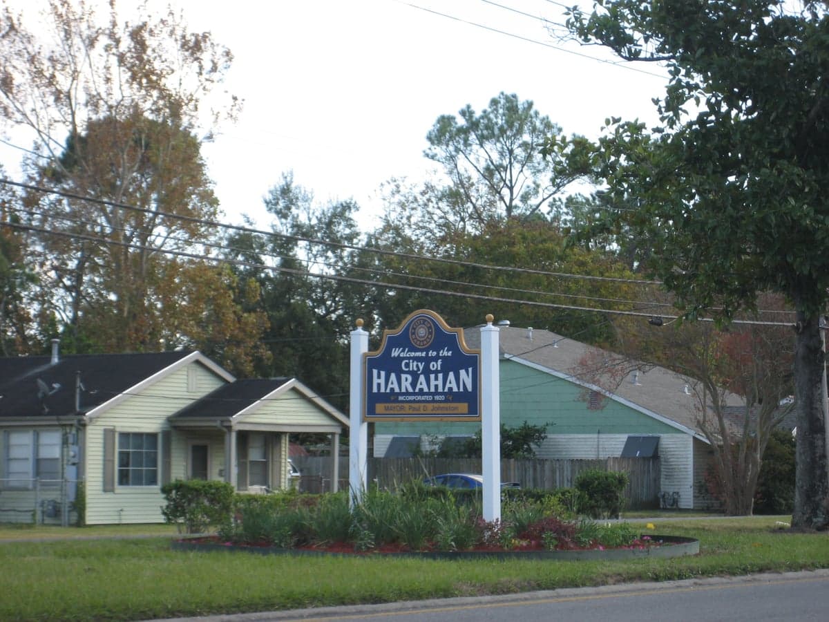
Photo: Wikipedia
Strategic Assessment of Harahan, LA
Multiple tactical vulnerabilities. Population density, target proximity, or disaster risk are likely compounding. A retreat property and exit planning is required.
What does the Strategic Assessment tell us?
Our Strategic Assessment grades tactical survivability of an area. Major population centers, military targets, fallout zones, natural disasters, and border exposure all drive risk — lower exposure means a more defensible position in a crisis.
This is heavily inspired by Joel Skousen's Strategic Relocation book. Highly recommended you checkout the book ($)What does this tell us?
Our Strategic Assessment grades tactical survivability of an area. Major population centers, military targets, fallout zones, natural disasters, and border exposure all drive risk — lower exposure means a more defensible position in a crisis.
This is heavily inspired by Joel Skousen's Strategic Relocation book. Highly recommended you checkout the book ($)Strategic Pillars

Key Distances
Regional Safe Places
Below is our recommended "safe zones" in Louisiana and the surrounding area based on our strategic heuristics. For most people, it's unrealistic to live in a “safe zone” full-time due to work, family or other personal reasons. They tend to be more rural. However, many of these areas are perfect for second homes and retreat properties that double as a vacation home or even a short-term rental.

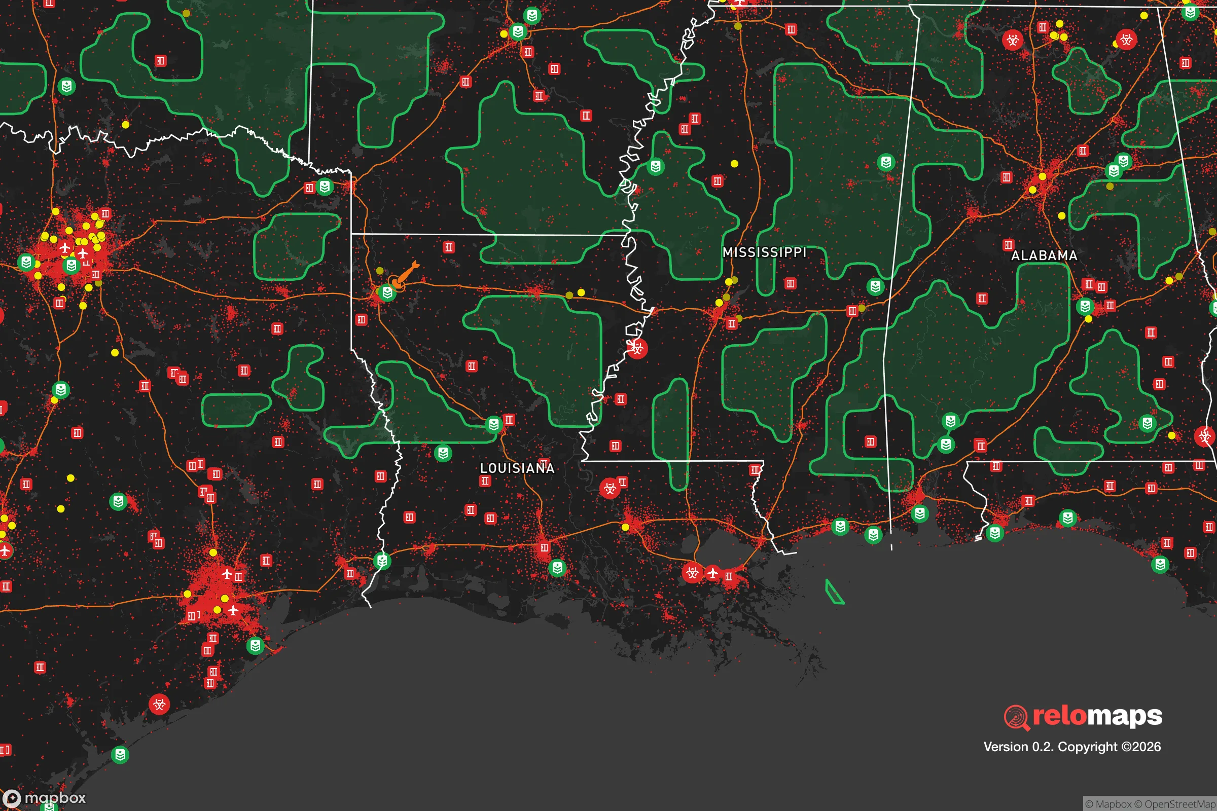


Important Note: For informational purposes only. This does not mean nothing bad ever happens in the green zones. Please use common sense. This is based on public data and modeled with AI. We tried to take a conservative approach but mistakes happen. We update this regularly as new information becomes available.
Solar Generator Recommendations
Backup power matters more here than in safer locations. We've picked three solar generators across budgets and capacity tiers — start with the budget unit if you only need a few essentials, or step up if you want to run a fridge and HVAC for days at a time.

Jackery Portable Power Station Explorer 300
Budget OptionPower on the Go: Weighing only 11 lbs, it's convenient to set up and store with book-sized foldable solar panels

BLUETTI Portable Power Station AC180
Designed for both indoor and outdoor scenarios, AC180 is highly capable as it has a robost capacity and continuous output power.

EF ECOFLOW DELTA Pro Ultra Power Station
Upgraded PickEcoFlow DELTA Pro Ultra is a whole-home energy system designed to grow with your family. Integrated with the Smart Home Panel 2, it scales to meet your evolving energy needs — keeping your home powered, intelligent, and secure through every stage of life.
We earn a commission, at no additional cost to you.
Strategic Assessment Analysis
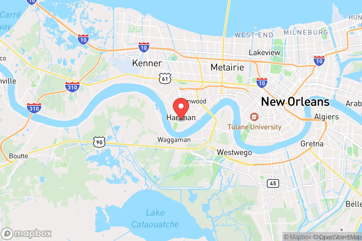
Harahan, Louisiana, occupies a narrow strip of high ground along the Mississippi River in Jefferson Parish, roughly 10 miles west of downtown New Orleans. Its strategic value for a relocator focused on disaster readiness and self-sufficiency is a mixed picture: the town benefits from natural levee elevation that spares it the worst of hurricane storm surge, yet its position within the New Orleans metropolitan area introduces vulnerabilities tied to population density, infrastructure dependence, and proximity to potential man-made hazards. For a conservative-leaning individual or family weighing resilience alongside access to urban amenities, Harahan offers a defensible base with real trade-offs that demand honest assessment.
Geographic position and natural advantages for disaster readiness
Harahan sits on the Mississippi River's natural levee, a ridge of higher ground that typically sits 10 to 15 feet above sea level — significantly higher than most of suburban Jefferson Parish and Orleans Parish, where large areas lie below sea level. This elevation advantage is the single most important geographic fact about Harahan for a resilience-minded relocator. During Hurricane Katrina in 2005, Harahan experienced minimal flooding from storm surge while neighboring communities like Kenner and Metairie saw widespread inundation. The town's location on the east bank of the Mississippi also places it on the same side as the French Quarter and Uptown New Orleans, meaning evacuation routes via the Huey P. Long Bridge and the Crescent City Connection remain accessible even if west-bank routes are compromised. The Mississippi River itself provides a reliable water source for emergency use, though treatment and pumping infrastructure are vulnerable to power loss. Harahan's position within the river's bend also offers some protection from the strongest winds of a typical hurricane track, as storms approaching from the Gulf often weaken slightly by the time they reach this latitude.
Risk exposure: hurricane threats, industrial hazards, and proximity to fallout-relevant landmarks
No honest resilience assessment of Harahan can ignore its exposure to hurricane-force winds and the cascading failures that accompany a major storm. While the town's elevation protects against storm surge, direct hurricane winds remain a serious threat, with the potential to damage roofs, down trees, and disrupt power for days or weeks. The area's aging power grid, managed by Entergy, has a documented history of extended outages after moderate weather events. More concerning for a preparedness-minded relocator is Harahan's proximity to industrial and military infrastructure that could become liability in a crisis. The town lies within 5 miles of the NASA Michoud Assembly Facility, a sprawling manufacturing complex that builds rocket stages and has been designated a potential target in national security scenarios. Harahan is also roughly 12 miles from the Louisiana Offshore Oil Port (LOOP), a major crude oil terminal that, if compromised, could create environmental and security hazards. The Mississippi River itself carries constant barge traffic of chemicals, fertilizers, and fuels. For a reader thinking about fallout dangers — whether from industrial accident, terrorism, or broader conflict — Harahan's position within the New Orleans metro area means it sits in a zone of elevated risk compared to more rural parts of Louisiana. The town's proximity to the Mississippi River Bridge and major rail lines also makes it a potential chokepoint that could complicate evacuation during a fast-moving event.
Practical resilience for a relocator: food, water, energy, and defensibility
For a family or individual serious about self-sufficiency, Harahan presents both opportunities and constraints. The town's residential lots are typically one-quarter to one-third acre, which allows for modest gardening, rainwater catchment, and small-scale livestock like chickens, but not the kind of acreage needed for full food independence. Local zoning in Jefferson Parish permits backyard chickens and beekeeping with permits, but restricts larger animals. The Louisiana Department of Health requires private well owners to test for groundwater contamination, and the shallow aquifer in the region is known to have naturally occurring saltwater intrusion and industrial runoff concerns, making rainwater collection a more reliable emergency water strategy. For energy resilience, Harahan's suburban layout means most homes are grid-dependent, but the relatively mild climate (average January lows around 45°F) makes passive solar heating and wood-burning stoves viable supplemental options. Solar panel installation is permitted in Jefferson Parish, and net metering is available through Entergy, though the region's frequent cloud cover during hurricane season reduces solar yield precisely when it's most needed. Defensibility is a mixed factor: Harahan's street grid is open and interconnected, which is poor for creating a perimeter but good for multiple evacuation routes. The town has its own police department with around 25 sworn officers, and Jefferson Parish Sheriff's Office provides backup. Crime rates in Harahan are well below the national average for violent crime, but property crime — particularly vehicle burglary and package theft — is a routine concern. For a relocator seeking a balance between suburban safety and the ability to hunker down, Harahan offers a reasonable middle ground, but it is not a remote homestead.
The overall strategic picture for Harahan is one of calculated trade-offs. Its elevation advantage and river access make it one of the more flood-resilient options within the New Orleans metro area, and its small-town character with independent police and local government provides a degree of community cohesion that larger suburbs lack. However, its location within a major metropolitan area — with the attendant risks of industrial infrastructure, population density, and evacuation complexity — means it cannot match the resilience of a truly rural or off-grid location. For a conservative-leaning family that wants to stay within commuting distance of New Orleans employment while maintaining a defensible home base with lower flood risk than most alternatives, Harahan is a strong candidate. The key is to go in with eyes open: invest in backup power, store at least two weeks of supplies, build community relationships with neighbors, and have a clear evacuation plan for the worst-case scenarios that no amount of elevation can fully mitigate.

* Values derived from national, state, county, city and local statistics and may differ in a specific area. Last updated: 2026-07-20T22:05:52.000Z
Narrative content on this page is AI-generated and may contain mistakes. Verify any details that matter before acting on them.
ReloMaps may earn a commission from affiliate links at no extra cost to you.

