Strategic Assessment of Gonzales, TX
Meaningful friction. Expect exposure to either population pressure, blast zones, or natural disaster risk. Consider buying a retreat property.
What does the Strategic Assessment tell us?
Our Strategic Assessment grades tactical survivability of an area. Major population centers, military targets, fallout zones, natural disasters, and border exposure all drive risk — lower exposure means a more defensible position in a crisis.
This is heavily inspired by Joel Skousen's Strategic Relocation book. Highly recommended you checkout the book ($)What does this tell us?
Our Strategic Assessment grades tactical survivability of an area. Major population centers, military targets, fallout zones, natural disasters, and border exposure all drive risk — lower exposure means a more defensible position in a crisis.
This is heavily inspired by Joel Skousen's Strategic Relocation book. Highly recommended you checkout the book ($)Strategic Pillars

Key Distances
Regional Safe Places
Below is our recommended "safe zones" in Texas and the surrounding area based on our strategic heuristics. For most people, it's unrealistic to live in a “safe zone” full-time due to work, family or other personal reasons. They tend to be more rural. However, many of these areas are perfect for second homes and retreat properties that double as a vacation home or even a short-term rental.

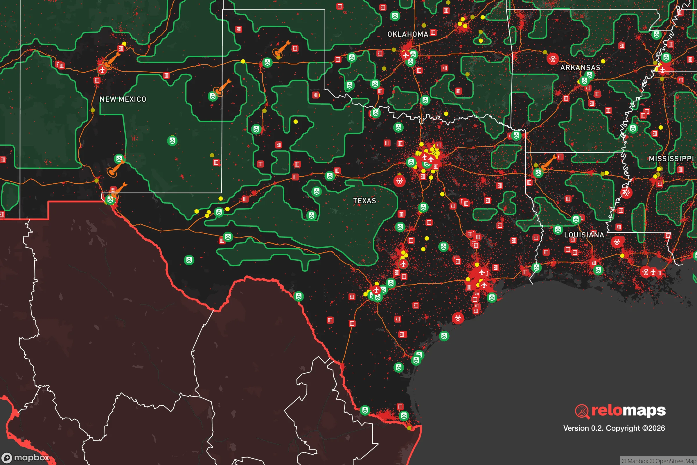


Important Note: For informational purposes only. This does not mean nothing bad ever happens in the green zones. Please use common sense. This is based on public data and modeled with AI. We tried to take a conservative approach but mistakes happen. We update this regularly as new information becomes available.
Solar Generator Recommendations
Backup power matters more here than in safer locations. We've picked three solar generators across budgets and capacity tiers — start with the budget unit if you only need a few essentials, or step up if you want to run a fridge and HVAC for days at a time.

Jackery Portable Power Station Explorer 300
Budget OptionPower on the Go: Weighing only 11 lbs, it's convenient to set up and store with book-sized foldable solar panels

BLUETTI Portable Power Station AC180
Designed for both indoor and outdoor scenarios, AC180 is highly capable as it has a robost capacity and continuous output power.

EF ECOFLOW DELTA Pro Ultra Power Station
Upgraded PickEcoFlow DELTA Pro Ultra is a whole-home energy system designed to grow with your family. Integrated with the Smart Home Panel 2, it scales to meet your evolving energy needs — keeping your home powered, intelligent, and secure through every stage of life.
We earn a commission, at no additional cost to you.
Strategic Assessment Analysis
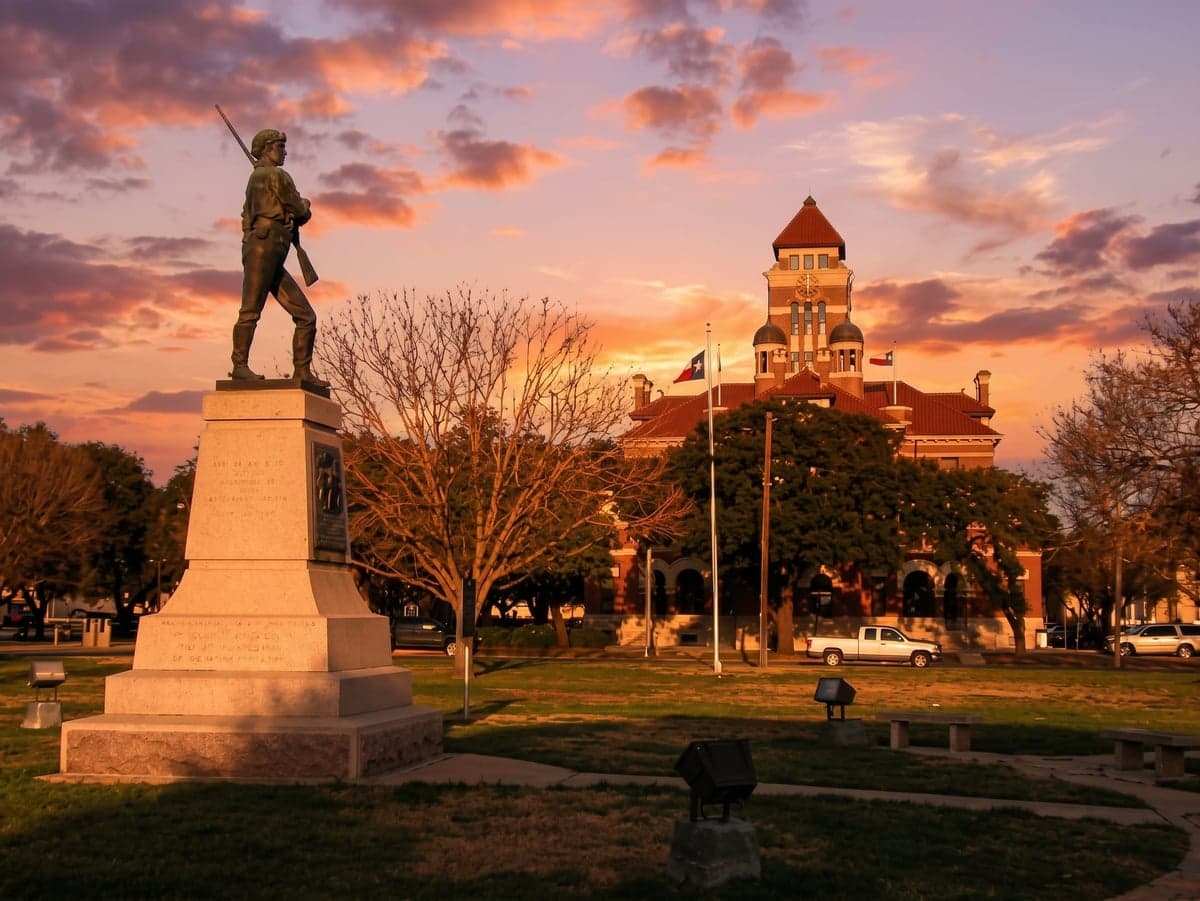
Gonzales, Texas, occupies a strategic position in the state's resilience landscape that rewards careful study. Sitting roughly 70 miles east of San Antonio and 90 miles southeast of Austin, this town of about 7,200 people offers a blend of agricultural self-sufficiency and relative isolation from the highest-risk urban targets, while still being close enough to access major medical and supply hubs when needed. Its location along the Guadalupe River and within the fertile Blackland Prairie gives it natural advantages for food production and water access that many relocation-minded families find compelling, though the area is not without its own set of risks that demand honest assessment.
Geographic position and natural advantages for self-sufficiency
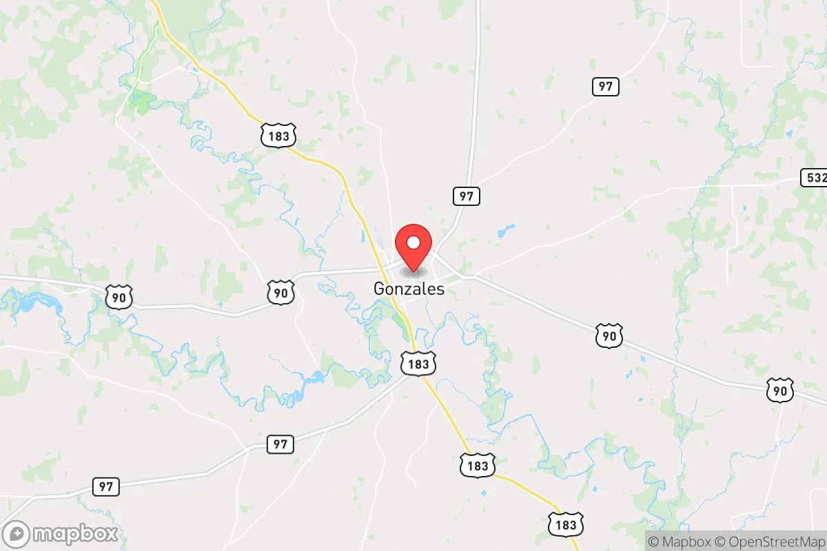
Gonzales sits at the intersection of U.S. Highway 183 and State Highway 97, placing it in a sweet spot of accessibility without being a through-route for major metropolitan traffic. The surrounding landscape is predominantly agricultural—row crops, cattle ranches, and pecan orchards dominate the county—which means the local economy and culture already revolve around food production and land stewardship. The Guadalupe River runs through the southern edge of town, providing a reliable surface water source, and the underlying Carrizo-Wilcox Aquifer offers groundwater that many rural residents tap via private wells. The terrain is gently rolling, with no significant floodplain issues in most residential areas, though properties immediately along the river require flood insurance. The climate is humid subtropical, with hot summers and mild winters, supporting a growing season of roughly 250 days—long enough for serious home gardening, small-scale livestock, and even some orchard crops like peaches and pecans. For a relocator prioritizing self-sufficiency, Gonzales offers the raw ingredients: arable land, water access, and a community that still remembers how to grow and preserve food.
Risks, exposures, and proximity to fallout-relevant landmarks
The most significant risk factor for Gonzales is its proximity to the San Antonio–Austin–Houston triangle, which contains multiple high-value targets in a major conflict scenario. San Antonio's Joint Base San Antonio (Fort Sam Houston, Lackland, Randolph) and Austin's federal and tech infrastructure are within 70–90 miles, placing Gonzales within the moderate fallout zone for a ground burst at either location, depending on wind patterns. Houston's petrochemical complex and the Port of Houston are roughly 120 miles east, which is far enough to avoid direct blast effects but close enough that prevailing westerly winds could carry fallout across the region. The South Texas Nuclear Generating Station near Bay City is about 100 miles south, and while the plant has robust containment, any major incident there would put Gonzales in a downwind risk corridor. Natural hazards are more immediate: the area lies in Tornado Alley's southern fringe, with occasional spring storms, and the Guadalupe River has a history of flooding during hurricane remnants or prolonged rain events—the 1998 flood caused significant damage in low-lying parts of town. Wildfire risk is low but not zero, particularly during drought years when dry brush and agricultural stubble can carry flames. On balance, Gonzales is far enough from primary targets to avoid direct blast effects but close enough that a relocator must plan for regional disruption and potential fallout from strikes on San Antonio or Austin.
Practical resilience for a relocator: food, water, energy, and defensibility
For food security, Gonzales is hard to beat among small Texas towns. The county is a major producer of corn, cotton, sorghum, and cattle, and the local farmers' market operates year-round with seasonal produce, eggs, and meat. Several feed stores and agricultural supply houses in town mean that a family can source seeds, tools, and livestock feed without leaving the county. Hunting is popular on private land and in the nearby Palmetto State Park, providing a protein source for those with the skill and permission. Water resilience is strong for those who invest in a private well—the Carrizo-Wilcox Aquifer is deep but productive, and many rural properties already have wells in place. The city's municipal water comes from the Guadalupe River and is treated at a plant with backup generators, but a relocator should plan for at least two weeks of stored water as a baseline. Energy infrastructure is mixed: Gonzales is served by the Pedernales Electric Cooperative, which has improved its grid hardening since the 2021 winter storm, but rural outages remain common during ice storms or high winds. Solar potential is excellent—the area averages over 260 sunny days per year—and many rural homes already have backup generators or propane systems. Defensibility is a mixed picture: the town itself is spread out with multiple access points, making perimeter security impractical, but a well-chosen rural property with a long driveway, good sightlines, and a defensible water source offers real advantages. The local law enforcement presence is modest—the Gonzales Police Department has about 20 officers, and the county sheriff's office covers a large area—so self-reliance in security is a practical necessity, not a paranoid fantasy. The community itself is tight-knit, with a strong church and volunteer fire department culture that fosters mutual aid, which is arguably the most valuable resilience asset of all.
The overall strategic picture for Gonzales is one of moderate risk with high practical upside for a prepared relocator. It is not a remote bunker location—it is a working agricultural town with real exposure to regional threats—but it offers the land, water, and community infrastructure to support a serious self-sufficiency plan. The key trade-off is proximity to urban resources versus proximity to urban targets: you can reach San Antonio in about an hour for medical care or major supplies, but that same distance puts you within the fallout shadow of a strike on that city. For a family willing to invest in well water, solar power, food storage, and a rural property with good defensibility, Gonzales provides a foundation that few Texas towns can match. The honest assessment is that no location in the continental U.S. is truly safe from all risks, but Gonzales offers a realistic balance of natural advantages, community cohesion, and agricultural self-reliance that makes it a serious contender for the resilience-minded relocator.

* Values derived from national, state, county, city and local statistics and may differ in a specific area. Last updated: 2026-10-06T19:11:35.000Z
Narrative content on this page is AI-generated and may contain mistakes. Verify any details that matter before acting on them.
ReloMaps may earn a commission from affiliate links at no extra cost to you.

