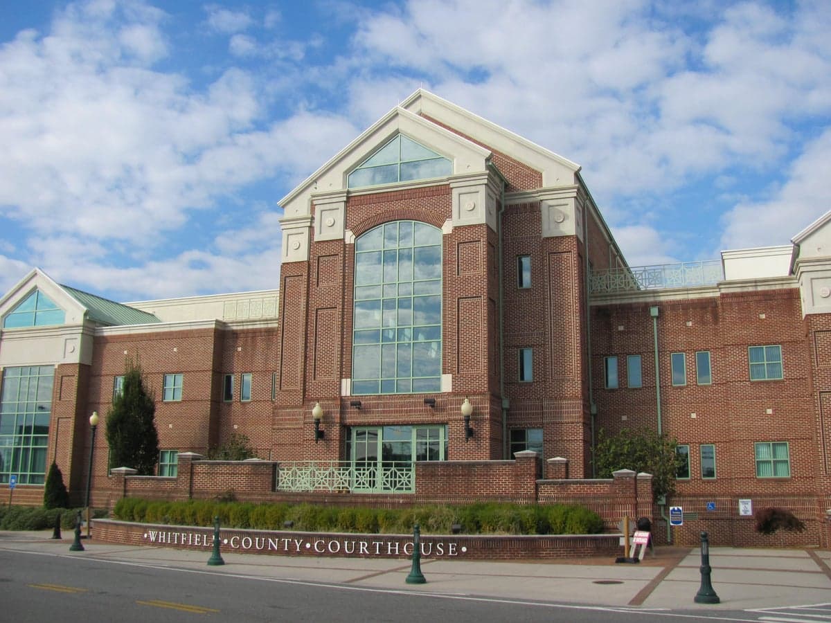
Photo: Wikipedia
Strategic Assessment of Whitfield County
Workable tactical position. Some exposure to population density or targets, but generally defensible in a crisis.
What does the Strategic Assessment tell us?
Our Strategic Assessment grades tactical survivability of an area. Major population centers, military targets, fallout zones, natural disasters, and border exposure all drive risk — lower exposure means a more defensible position in a crisis.
This is heavily inspired by Joel Skousen's Strategic Relocation book. Highly recommended you checkout the book ($)What does this tell us?
Our Strategic Assessment grades tactical survivability of an area. Major population centers, military targets, fallout zones, natural disasters, and border exposure all drive risk — lower exposure means a more defensible position in a crisis.
This is heavily inspired by Joel Skousen's Strategic Relocation book. Highly recommended you checkout the book ($)Strategic Pillars

Key Distances
Strategic Assessment Analysis
Whitfield County, Georgia, offers a compelling strategic position for relocators prioritizing disaster readiness and self-sufficiency, balancing proximity to major Southeastern infrastructure with the practical advantages of a smaller, inland community. Anchored by the city of Dalton, the county sits at the intersection of I-75 and US-41, roughly 90 minutes north of Atlanta and 45 minutes south of Chattanooga, Tennessee. This placement provides access to urban resources while maintaining a distinct buffer from the concentrated risks of a major metropolitan center. For those assessing long-term resilience, Whitfield County’s geography, industrial base, and community character present a mixed but generally favorable picture, particularly when compared to coastal or heavily urbanized alternatives.
Geographic position and natural advantages for disaster readiness
Whitfield County’s location in the Ridge and Valley region of northwest Georgia provides several inherent resilience benefits. The area is situated well inland, eliminating direct exposure to hurricane storm surge and sea-level rise, which are growing concerns for coastal communities from Savannah to the Gulf. The county’s terrain is a mix of rolling hills and valleys, with the Conasauga River and its tributaries running through the area. This topography offers natural defensibility—higher ground exists in the western and northern parts of the county, particularly around the communities of Tunnel Hill and Cohutta, where relocators can find properties with good vantage points and reduced flood risk. The region’s climate is temperate, with four distinct seasons, reducing the likelihood of extreme heat events seen further south or prolonged deep freezes common to the upper Midwest. Whitfield County sits outside the primary tornado alley of the Deep South, though severe thunderstorms and occasional tornadoes remain a risk, as with most of Georgia. The area’s water resources are a notable advantage: the Conasauga River and the Coahualla Creek provide surface water, and the underlying aquifer system generally yields adequate groundwater for private wells in rural areas, a key consideration for self-sufficiency planning.
Risks, exposures, and proximity to fallout-relevant landmarks
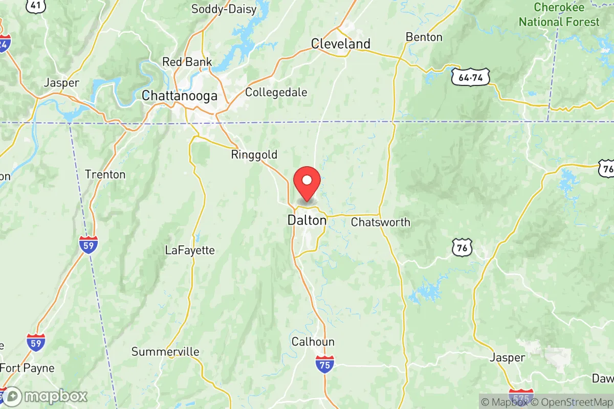
While Whitfield County avoids many coastal and seismic hazards, it is not without strategic vulnerabilities. The county’s most significant exposure stems from its industrial and transportation infrastructure. Dalton is the "Carpet Capital of the World," hosting a dense concentration of carpet and flooring manufacturers that rely on chemical processes and synthetic materials. A major fire or industrial accident at one of these facilities—such as those along the I-75 corridor near the Dalton Industrial Park—could release hazardous fumes or require evacuation, a realistic scenario for relocators living in the southern or central parts of the county. Additionally, Whitfield County is bisected by I-75, a major north-south freight corridor connecting Florida to the Great Lakes. This highway is a high-value target for disruption, whether from accidents, infrastructure failure, or deliberate acts, and it carries a constant flow of tanker trucks carrying fuel and chemicals. The county is also within 45 minutes of the Chickamauga Dam and the Watts Bar Nuclear Plant in Tennessee, both of which are critical infrastructure points. For a reader concerned with fallout-relevant landmarks, the proximity to the nuclear plant (~40 miles north) is a moderate concern, though prevailing winds generally carry potential plumes away from Whitfield County. The county’s location relative to Atlanta (90 miles south) and Chattanooga (30 miles north) means it could experience secondary effects—such as refugee movement or supply chain strain—if those cities faced a major disaster, but it is far enough removed to avoid direct blast or fallout zones from urban-centric scenarios.
Practical resilience for a relocator: food, water, energy, and defensibility
For a relocator serious about self-sufficiency, Whitfield County offers a practical mix of assets and limitations. Food resilience is strong: the county is surrounded by active farmland, particularly in the western areas near the town of Varnell and the eastern edges toward the Chattahoochee National Forest. Local farmers’ markets, such as the Dalton Farmers Market, provide seasonal access to fresh produce, and the region’s growing season is long enough (typically April through October) for substantial home gardening. The presence of the North Georgia mountains to the east offers additional foraging and hunting opportunities on public lands. Water availability is a clear strength, with the Conasauga River providing a reliable surface water source and the county’s groundwater generally yielding sufficient volume for wells, though new well permits require testing for common contaminants like iron and manganese. Energy resilience is moderate: Whitfield County is served by Georgia Power and the Tennessee Valley Authority (TVA), with a mix of hydroelectric, natural gas, and nuclear sources. Power outages from storms or grid strain are common enough to warrant backup generation, but the grid is generally stable compared to rural areas further from major transmission lines. Solar potential is adequate, with the region receiving about 4.5 peak sun hours per day, though tree cover in the hills can limit rooftop solar efficiency. Defensibility varies by location: the rural northern and western parts of the county offer natural chokepoints and limited road access, while the I-75 corridor and Dalton’s suburbs are more exposed. Property crime in Dalton is slightly above the national average, but violent crime is low, and the county’s strong community ties and active sheriff’s office contribute to a sense of security. For a family or individual, the ability to secure a property with a well, garden space, and a defensible perimeter is realistic, particularly on the 1-5 acre parcels common in the county’s outlying areas.
Overall, Whitfield County presents a balanced strategic picture for the disaster-conscious relocator. Its inland location, ample water resources, and agricultural surroundings provide a solid foundation for self-sufficiency, while its industrial corridor and proximity to major highways introduce manageable but real risks. The county is not a remote bunker—it is a working, growing community with the trade-offs that entails. For someone seeking a base that is close enough to urban medical and supply centers (Chattanooga’s hospitals are 30 minutes away) but far enough to avoid the worst of a metropolitan collapse, Whitfield County deserves serious consideration. The key is choosing a specific location within the county: the rural hills around Cohutta and Tunnel Hill offer the best combination of defensibility, water access, and distance from industrial hazards, while the Dalton suburbs are more convenient but carry higher exposure. For the reader who values practical resilience over isolation, Whitfield County is a viable, grounded option in the Southeast.

* Values derived from national, state, county, city and local statistics and may differ in a specific area. Last updated: 2026-08-08T12:28:50.000Z
Narrative content on this page is AI-generated and may contain mistakes. Verify any details that matter before acting on them.
ReloMaps may earn a commission from affiliate links at no extra cost to you.

