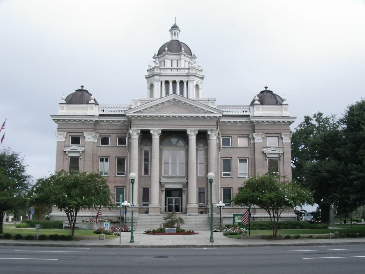
Photo: Wikipedia
Strategic Assessment of Lowndes County
Workable tactical position. Some exposure to population density or targets, but generally defensible in a crisis.
What does the Strategic Assessment tell us?
Our Strategic Assessment grades tactical survivability of an area. Major population centers, military targets, fallout zones, natural disasters, and border exposure all drive risk — lower exposure means a more defensible position in a crisis.
This is heavily inspired by Joel Skousen's Strategic Relocation book. Highly recommended you checkout the book ($)What does this tell us?
Our Strategic Assessment grades tactical survivability of an area. Major population centers, military targets, fallout zones, natural disasters, and border exposure all drive risk — lower exposure means a more defensible position in a crisis.
This is heavily inspired by Joel Skousen's Strategic Relocation book. Highly recommended you checkout the book ($)Strategic Pillars

Key Distances
Strategic Assessment Analysis
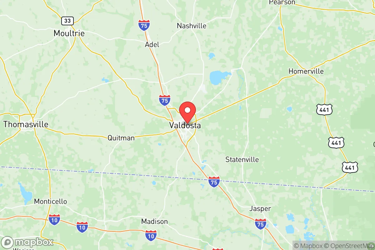
Lowndes County, Georgia, anchored by the city of Valdosta, presents a mixed strategic picture for relocation-minded individuals and families who prioritize resilience and self-sufficiency. Its position in the southern tier of Georgia, roughly 12 miles north of the Florida state line and 60 miles northeast of Tallahassee, offers a blend of geographic insulation from major coastal threats while maintaining access to regional infrastructure. The county's resilience profile is shaped by its distance from primary target zones, its agricultural capacity, and its location along major transportation corridors, though it is not without significant exposure to natural hazards and proximity to certain man-made risks.
Geographic position and natural advantages for long-term stability
Lowndes County sits in a region that benefits from being far enough inland to avoid the direct storm surge risks of the Gulf and Atlantic coasts, yet close enough to the Florida border to leverage the climate advantages of the Deep South for year-round food production. The area is part of the Gulf Coastal Plain, characterized by relatively flat terrain, sandy loam soils, and a long growing season that supports diverse agriculture—from row crops like peanuts and cotton to timber and livestock operations. The Withlacoochee and Alapaha Rivers run through the county, providing surface water resources, while the Floridan Aquifer lies beneath, offering a deep and generally reliable groundwater supply. Valdosta itself is a regional hub for healthcare, education, and logistics, anchored by Moody Air Force Base, which sits just north of the city. While the base represents a potential target in a conflict scenario, it also provides a significant local economic buffer and emergency response infrastructure. The county's position along Interstate 75 places it on a major north-south artery connecting the Great Lakes to Florida, which is a double-edged sword: it facilitates supply movement but also evacuation traffic and potential population movement during crises.
Risk exposure: natural hazards and proximity to fallout-relevant landmarks
The most immediate and recurring risk for Lowndes County is severe weather. The region sits squarely in the path of Gulf-originating tropical systems that can bring torrential rainfall, flash flooding, and damaging winds even after landfall. Hurricane Michael in 2018, which made landfall near Mexico Beach, Florida, caused widespread tree damage and power outages across the county despite passing well to the west. Tornadoes are a seasonal threat, with the area falling within the traditional Dixie Alley zone where nocturnal and fast-moving storms are common. Beyond weather, the county's proximity to several man-made risk factors requires honest assessment. Moody Air Force Base is a strategic asset but also a potential first-strike or secondary target in a major conflict, given its role in training and deploying A-10 and F-35A aircraft. Additionally, the county lies roughly 100 miles northeast of the Port of Panama City and 120 miles east of the Port of Pensacola, both of which are critical Gulf Coast energy and logistics hubs that could be targeted in a conflict or suffer secondary effects from a major incident. The Valdosta area is also within the broader fallout plume risk zone for a strike on the Jacksonville, Florida, naval complex or the Kings Bay Naval Submarine Base in St. Marys, Georgia, approximately 80 miles to the southeast. While not in the immediate blast zone, the county's downwind position relative to these high-value military assets is a factor that a serious resilience planner must weigh.
Practical resilience for relocators: food, water, energy, and defensibility
For a relocator focused on self-sufficiency, Lowndes County offers several tangible advantages. The agricultural base is real and accessible: the surrounding region is home to working farms, pecan orchards, and livestock operations, and the Valdosta Farmers Market is one of the largest in the Southeast, providing a local food distribution network that could be leveraged in a disruption. The growing season extends from March through November, allowing for substantial home food production. Water availability is a strong point, as the Floridan Aquifer provides abundant groundwater that is generally accessible via shallow to moderate-depth wells, though local permitting and water rights should be verified before purchase. The county is served by multiple electric cooperatives, including Colquitt Electric Membership Corporation, which can offer more localized grid management than investor-owned utilities, though tree-related outages from storms remain a chronic issue. Defensibility is moderate: the terrain is flat and open in many areas, with pine plantations and agricultural fields offering limited natural cover, but the county's rural character outside the Valdosta city limits means that properties with significant acreage and setback from main roads are available. The local culture leans conservative, with a strong hunting and outdoor tradition, and the presence of Moody AFB brings a population familiar with emergency preparedness and disciplined response protocols. However, the county's location on I-75 means that any major crisis in Florida or the Gulf Coast could trigger a northbound evacuation flow through the area, potentially overwhelming local resources and creating security concerns.
The overall strategic picture for Lowndes County is one of moderate resilience with clear trade-offs. It offers genuine advantages in water availability, agricultural capacity, and distance from the most likely high-value target zones along the immediate coast. The climate supports year-round food production, and the local economy is diversified enough to provide a buffer against single-sector collapse. However, the risks from severe weather are real and recurring, and the county's position relative to Moody AFB, the Gulf Coast ports, and the Kings Bay submarine base introduces a layer of man-made risk that cannot be dismissed. For a relocator who is willing to invest in storm-hardened infrastructure, maintain a well-stocked pantry, and develop a network of local contacts, Lowndes County represents a viable option in the Southeast. It is not a remote mountain redoubt, but it is a working agricultural region with a functional local economy and a population that largely understands the value of preparation. The key is to choose a location within the county that balances access to Valdosta's resources with sufficient distance from the I-75 corridor and the base's immediate periphery.

* Values derived from national, state, county, city and local statistics and may differ in a specific area. Last updated: 2026-06-16T21:22:44.000Z
Narrative content on this page is AI-generated and may contain mistakes. Verify any details that matter before acting on them.
ReloMaps may earn a commission from affiliate links at no extra cost to you.

