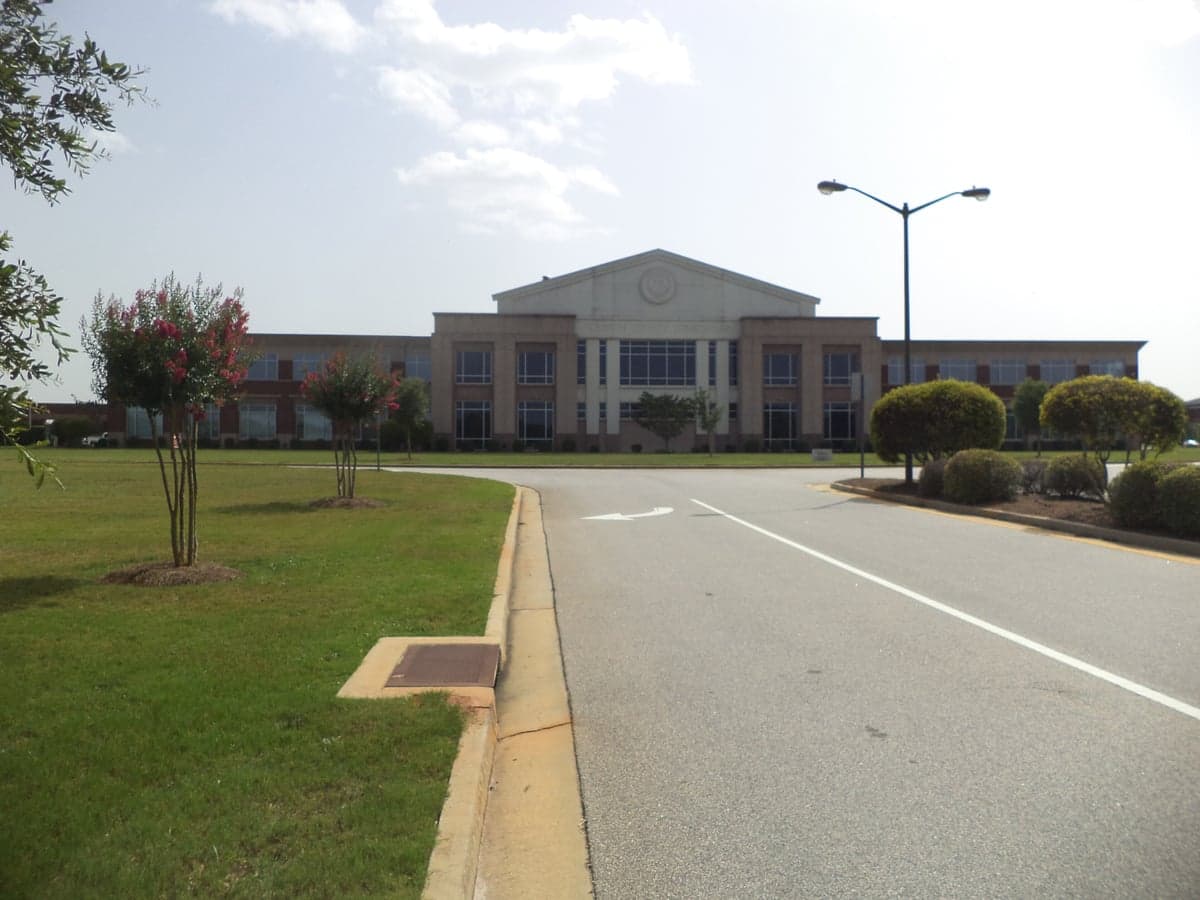
Photo: Wikipedia
Strategic Assessment of Houston County
Workable tactical position. Some exposure to population density or targets, but generally defensible in a crisis.
What does the Strategic Assessment tell us?
Our Strategic Assessment grades tactical survivability of an area. Major population centers, military targets, fallout zones, natural disasters, and border exposure all drive risk — lower exposure means a more defensible position in a crisis.
This is heavily inspired by Joel Skousen's Strategic Relocation book. Highly recommended you checkout the book ($)What does this tell us?
Our Strategic Assessment grades tactical survivability of an area. Major population centers, military targets, fallout zones, natural disasters, and border exposure all drive risk — lower exposure means a more defensible position in a crisis.
This is heavily inspired by Joel Skousen's Strategic Relocation book. Highly recommended you checkout the book ($)Strategic Pillars

Key Distances
Strategic Assessment Analysis
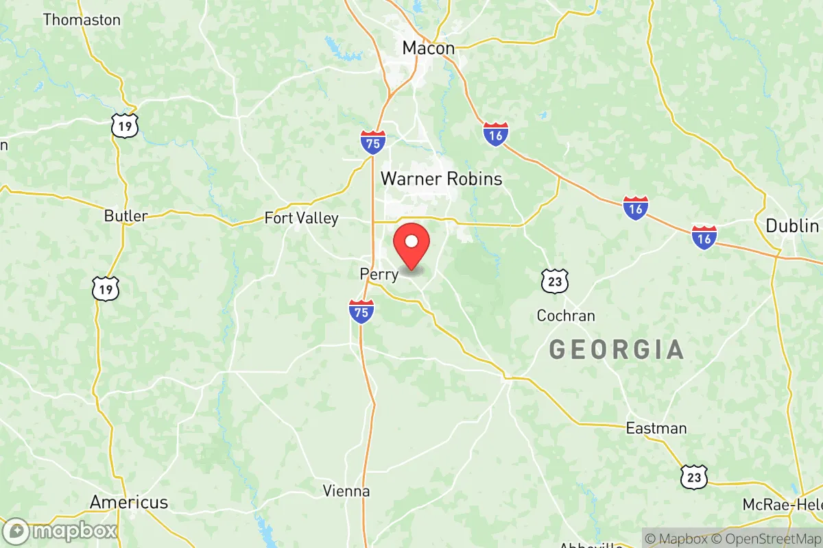
Houston County, Georgia, anchored by the city of Warner Robins, presents a compelling case for relocation-minded individuals and families who prioritize strategic resilience without sacrificing access to regional infrastructure. Its position roughly 90 miles south of Atlanta and 100 miles east of Columbus places it outside the immediate blast and fallout zones of major metropolitan targets, while still offering robust local employment, a growing population, and a geography that supports self-sufficiency. The county’s resilience profile is shaped by its location along the Fall Line, its distance from coastal storm surge, and its proximity to critical military and industrial assets that both bolster and complicate its strategic picture.
Geographic position and natural advantages for disaster readiness
Houston County sits on the Georgia Fall Line, a geological boundary that separates the Piedmont region from the Coastal Plain. This position provides a mix of rolling hills and relatively stable, well-drained soils that are less prone to the flooding that plagues lower-lying areas closer to the Gulf Coast. The Ocmulgee River forms the county’s western border, offering a reliable surface water source, while the area’s clay-heavy subsoils support private well drilling—a key advantage for long-term water security. The county’s elevation averages around 350 feet above sea level, which places it well above storm surge risk from hurricanes that might push up from the Gulf, though inland flooding from heavy rainfall remains a periodic concern. The local climate supports a 240-day growing season, making year-round food production feasible for those with the land and knowledge to pursue it. The presence of the Oaky Woods Wildlife Management Area and the Echeconnee Creek area provides natural buffers and potential foraging or hunting grounds, though these are not wilderness refuges.
Risks, exposures, and proximity to fallout-relevant landmarks
The most significant risk factor for Houston County is its deep economic and physical connection to Robins Air Force Base, a major strategic asset that occupies roughly 6,900 acres in the heart of the county. As a key logistics and maintenance hub for the U.S. Air Force, including the Warner Robins Air Logistics Complex, the base is a high-value target in any conflict scenario. A direct strike on the base would produce catastrophic local effects, including immediate blast damage and long-term contamination. The county also lies within roughly 150 miles of the Port of Savannah and the Port of Brunswick, both critical national logistics nodes that could be targeted in a major conflict, potentially disrupting supply chains and fuel availability. Additionally, the county is within 200 miles of the Savannah River Site, a Department of Energy nuclear facility that, while not a reactor, stores significant nuclear materials and could be a secondary target. Natural hazards include the risk of tornadoes—Houston County sits in the southern edge of Dixie Alley—and occasional severe thunderstorms that can knock out power for days. The county’s reliance on a single major employer (the base) also creates economic vulnerability; a base closure or major reduction would ripple through the local economy.
Practical resilience for a relocator: food, water, energy, and defensibility
For a relocator focused on practical self-sufficiency, Houston County offers a mixed but workable environment. Water security is achievable: the Ocmulgee River provides a surface water source, and many rural properties in the county have existing wells or are suitable for drilling. The county’s water table is generally accessible at depths of 50 to 150 feet, though well yields vary. Food production is viable given the long growing season and available farmland, but the county is not a major agricultural producer—most local food is trucked in from larger regional distribution centers. Establishing a home garden, raising poultry, or keeping goats is feasible on parcels of 2-5 acres or more. Energy resilience is a weak point: the county is served by Georgia Power and Flint Energies, both of which rely on a centralized grid vulnerable to weather and cyber attacks. Solar panel installation is permitted and increasingly common, but battery storage is essential for off-grid capability. Propane and wood heating are practical alternatives for those with the space and resources. Defensibility is moderate: the county’s terrain is not mountainous, but the mix of pine forests, creek bottoms, and rural roads provides some natural cover and chokepoints. The population density is low enough outside Warner Robins and Perry that a well-chosen rural property offers reasonable privacy and security. However, the county’s proximity to I-75 and I-16 means that any major evacuation or crisis could bring significant transient traffic through the area, potentially straining local resources.
The overall strategic picture for Houston County is one of calculated trade-offs. It offers a solid baseline for resilience—good water access, a long growing season, and a location that avoids the worst of coastal and metropolitan risks—while carrying the distinct liability of hosting a major military installation that could become a target. For a relocator who values proximity to jobs, healthcare, and schools (the county’s public schools are well-regarded, and Houston Healthcare operates two hospitals), and who is willing to invest in private well water, solar backup, and food storage, the county provides a defensible middle ground. It is not a remote survivalist retreat, but it is a practical, livable area where a prepared family can build a resilient lifestyle without being isolated from modern conveniences. The key is to choose a property outside the immediate blast radius of the base—generally east of Highway 247 or south of Perry—and to develop independent systems for water and power before a crisis arrives.

* Values derived from national, state, county, city and local statistics and may differ in a specific area. Last updated: 2026-06-16T18:42:19.000Z
Narrative content on this page is AI-generated and may contain mistakes. Verify any details that matter before acting on them.
ReloMaps may earn a commission from affiliate links at no extra cost to you.

