
Photo: Wikipedia
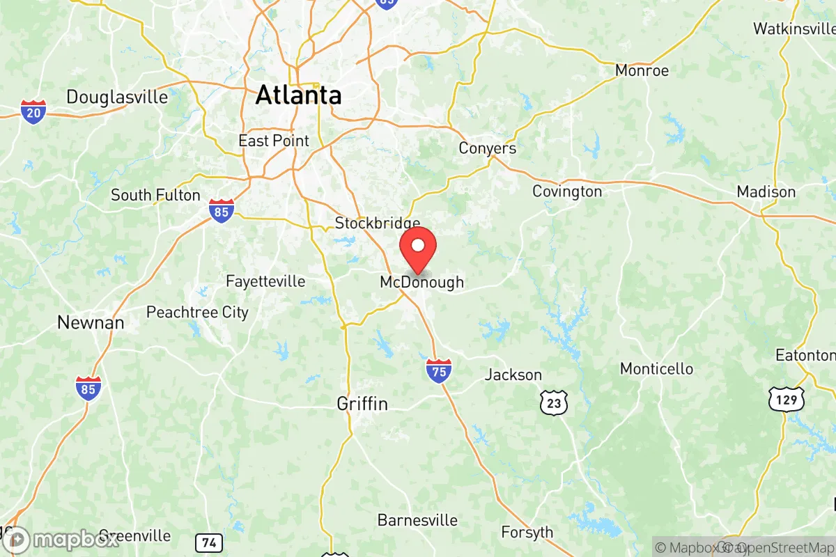
Strategic Assessment of Henry County
Meaningful friction. Expect exposure to either population pressure, blast zones, or natural disaster risk. Consider buying a retreat property.
What does the Strategic Assessment tell us?
Our Strategic Assessment grades tactical survivability of an area. Major population centers, military targets, fallout zones, natural disasters, and border exposure all drive risk — lower exposure means a more defensible position in a crisis.
This is heavily inspired by Joel Skousen's Strategic Relocation book. Highly recommended you checkout the book ($)What does this tell us?
Our Strategic Assessment grades tactical survivability of an area. Major population centers, military targets, fallout zones, natural disasters, and border exposure all drive risk — lower exposure means a more defensible position in a crisis.
This is heavily inspired by Joel Skousen's Strategic Relocation book. Highly recommended you checkout the book ($)Strategic Pillars

Key Distances
Strategic Assessment Analysis
Henry County, Georgia, sits in a strategic sweet spot that most relocation analyses miss: close enough to Atlanta’s economic engine to sustain jobs and infrastructure, yet far enough from the urban core to avoid the worst of civil unrest, supply-chain collapse, or a mass-casualty event’s secondary effects. The county’s population has grown roughly 20% since 2020, hitting about 250,000 residents, but that growth has been managed with a conservative, low-tax ethos that keeps property taxes among the lowest in metro Atlanta. For a single individual or family looking to hedge against national instability, Henry County offers a rare combination of access, affordability, and a built-in buffer zone that many preppers overlook.
Geographic position and natural advantages for long-term security
Henry County’s location along the I-75 corridor gives it a logistical edge that matters when supply chains falter. The county sits roughly 30 miles south of Atlanta’s Hartsfield-Jackson International Airport—a major transportation hub that, in a crisis, could become a chokepoint or a target. But Henry County itself is far enough south to avoid the immediate fallout zone of an Atlanta-centric event. The county’s terrain is gently rolling Piedmont, with elevations around 800 feet, which provides decent drainage and reduces flood risk compared to coastal Georgia. The Towaliga River and the South River run through the county, offering surface water sources that aren’t heavily industrialized. The county seat, McDonough, is a historic town with a compact downtown that could function as a rally point or supply hub if suburban sprawl becomes untenable. Nearby towns like Stockbridge, Hampton, and Locust Grove each have their own municipal water systems and local governance structures, which means no single point of failure for essential services. The area’s clay soils are poor for large-scale agriculture, but small-scale gardening and livestock are viable on the 1-5 acre lots common in the county’s rural pockets.
Risks, exposures, and proximity to fallout-relevant landmarks
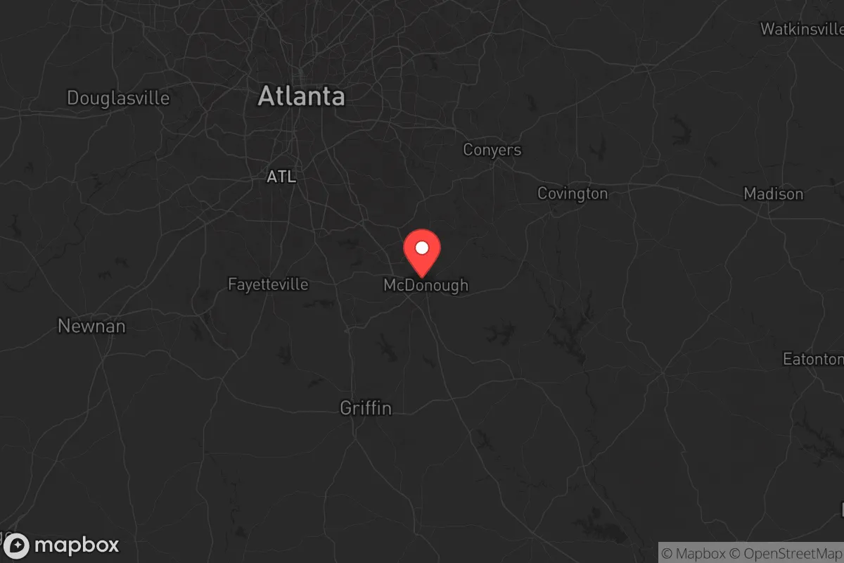
The primary risk for Henry County is its proximity to Atlanta’s urban mass—roughly 5.5 million people in the metro area. A mass-casualty event, civil unrest, or a major infrastructure failure in Atlanta would send refugees south along I-75, and Henry County sits directly in that path. The county’s own population density is moderate (about 500 people per square mile), but the southern and eastern parts of the county—around Hampton and Locust Grove—are significantly less dense and offer better defensibility. There are no major military bases within Henry County itself, but Fort Moore (formerly Fort Benning) is about 100 miles southwest, and Dobbins Air Reserve Base is about 40 miles northwest near Marietta. Neither is close enough to be a direct fallout risk, but both could become staging areas for federal response in a crisis, potentially drawing unwanted attention. The county does have a few industrial sites worth noting: a large Amazon fulfillment center in McDonough and a Norfolk Southern intermodal rail yard near Locust Grove. These are logistical assets in normal times but could become targets or chokepoints during civil unrest. The nearest major refinery corridor is along the Gulf Coast, about 350 miles away, so fuel supply disruptions would be a secondary concern rather than a direct fallout risk. No nuclear power plants are within 50 miles, though Plant Vogtle near Augusta is about 150 miles east—far enough to avoid direct fallout but close enough to feel economic ripple effects from a grid disruption.
Practical resilience for a relocator: food, water, energy, and defensibility
For a relocator serious about self-sufficiency, Henry County’s practical resilience is mixed but workable. Water is the strongest asset: the county sits atop the Cretaceous-Tertiary aquifer system, and many rural homes have private wells that tap into it at depths of 200-400 feet. Municipal water in McDonough and Stockbridge comes from the Towaliga River and Bear Creek Reservoir, both of which are surface sources that could be compromised during a prolonged grid outage, but well owners are largely insulated. Food resilience is weaker. The county has lost most of its farmland to suburban development—only about 15% of land is still in agricultural use—but there are active farmers’ markets in McDonough and Hampton, and local farms like Southern Belle Farm in McDonough offer pick-your-own produce and livestock sales. For long-term food security, a relocator would need to plan for home gardening and possibly small livestock; the county’s zoning allows chickens and goats on lots of one acre or more in unincorporated areas. Energy resilience is decent. Georgia Power’s grid is relatively stable, but the county has seen increasing interest in solar installations, and many rural homes already have backup generators. Natural gas is widely available in the suburban areas, but rural properties often rely on propane, which requires storage and resupply. Defensibility is the county’s weakest point. The terrain is open and rolling, with few natural chokepoints. The I-75 corridor is a major vulnerability—anyone trying to control movement into or out of the county would need to secure multiple access points. The best defensible positions are in the southern part of the county, near the Towaliga River, where larger parcels and wooded areas provide some cover. The town of Hampton, with its small historic core and surrounding farmland, offers a more defensible layout than the sprawling subdivisions of Stockbridge or McDonough.
The overall strategic picture for Henry County is one of calculated trade-offs. It is not a remote survivalist retreat—it is a suburban-rural hybrid that offers proximity to resources without being swallowed by Atlanta’s chaos. For a single individual or family who wants to maintain a professional career while building a resilient homestead, Henry County is one of the better options in the Southeast. The low tax burden, available well water, and access to I-75 for supply runs or evacuation are real advantages. The risks—proximity to Atlanta, open terrain, and a growing population that could strain resources in a crisis—are manageable with proper planning. The key is to buy land south of I-75, preferably in the Hampton or Locust Grove areas, and to invest in well water, solar backup, and a defensible property layout. Henry County won’t save you from a direct hit, but it will give you a fighting chance when the grid goes down and the cities burn.
* Values derived from national, state, county, city and local statistics and may differ in a specific area. Last updated: 2026-05-22T18:46:41.000Z
Narrative content on this page is AI-generated and may contain mistakes. Verify any details that matter before acting on them.
ReloMaps may earn a commission from affiliate links at no extra cost to you.