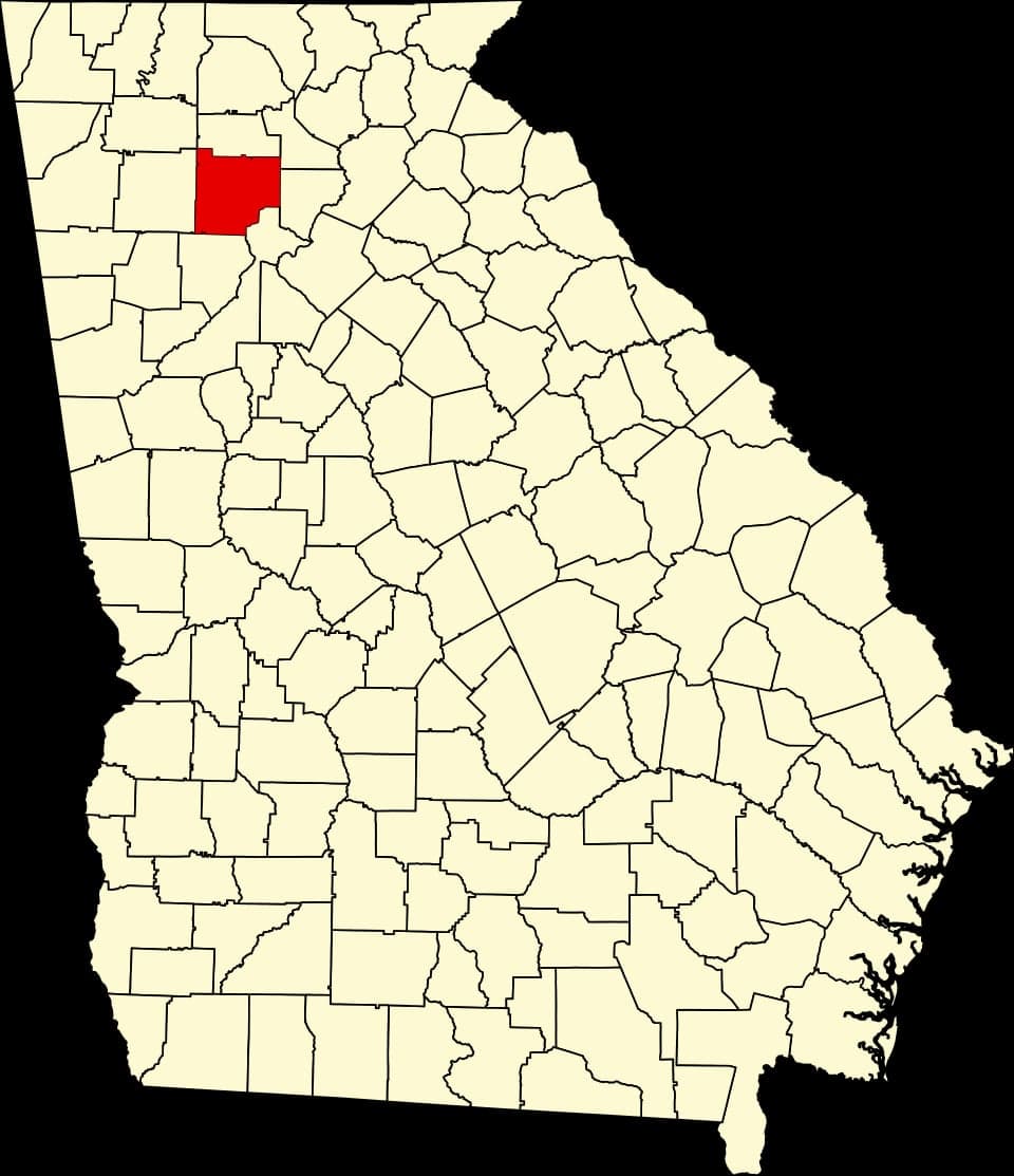
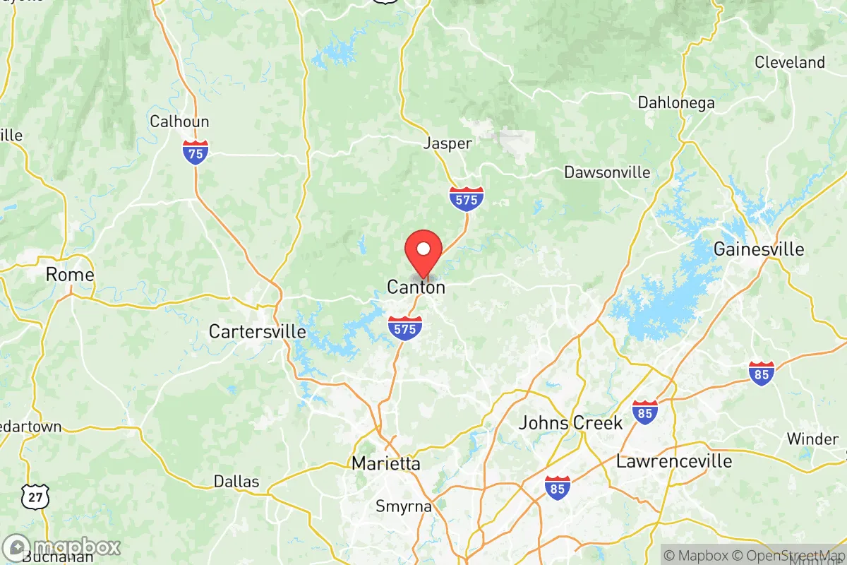
Photo: Wikipedia
Strategic Assessment of Cherokee County
Meaningful friction. Expect exposure to either population pressure, blast zones, or natural disaster risk. Consider buying a retreat property.
What does the Strategic Assessment tell us?
Our Strategic Assessment grades tactical survivability of an area. Major population centers, military targets, fallout zones, natural disasters, and border exposure all drive risk — lower exposure means a more defensible position in a crisis.
This is heavily inspired by Joel Skousen's Strategic Relocation book. Highly recommended you checkout the book ($)What does this tell us?
Our Strategic Assessment grades tactical survivability of an area. Major population centers, military targets, fallout zones, natural disasters, and border exposure all drive risk — lower exposure means a more defensible position in a crisis.
This is heavily inspired by Joel Skousen's Strategic Relocation book. Highly recommended you checkout the book ($)Strategic Pillars

Key Distances
Strategic Assessment Analysis
Cherokee County, Georgia, strikes a compelling balance for the relocation-minded prepper: it offers the natural buffers of the North Georgia foothills and a reliable water supply from Lake Allatoona, while still sitting within a reasonable drive of Atlanta’s medical and logistical hubs. The county’s growth over the past decade has brought infrastructure and community, but its northern towns—Canton, Ball Ground, and Waleska—retain a rural character that appeals to those prioritizing self-sufficiency and a lower population density. For a family or individual thinking seriously about resilience, Cherokee County provides a workable middle ground between isolation and accessibility.
Geographic position and natural advantages: why Cherokee County’s location matters for disaster readiness
Cherokee County sits in the Piedmont region, just south of the Blue Ridge Mountains, giving it a modest elevation advantage over the flatter, more flood-prone areas of central and south Georgia. The Etowah River and Lake Allatoona—a major U.S. Army Corps of Engineers reservoir—run through the southern part of the county, providing a sizable freshwater source that is less susceptible to drought than smaller community wells. The terrain is rolling and forested, especially as you move north toward Ball Ground and the Chattahoochee National Forest boundary, which offers natural defensibility and cover. Unlike the sprawling suburbs of Cobb or Gwinnett counties, much of Cherokee remains zoned for agriculture and low-density residential, meaning land for gardening, livestock, and rainwater catchment is still attainable. The county’s position also places it roughly 40 miles north of Atlanta’s urban core—close enough to access specialized medical care, hardware supplies, and alternative markets, but far enough to avoid the immediate chaos of a metropolitan collapse scenario.
Risks and exposures: proximity to Atlanta, military assets, and industrial targets
No resilience assessment is honest without acknowledging the liabilities. Cherokee County’s biggest vulnerability is its proximity to the Atlanta metropolitan area, which is a primary target for both natural disasters (tornadoes, severe thunderstorms, occasional ice storms) and man-made threats. The county is roughly 20 miles from Dobbins Air Reserve Base in Marietta, a key military installation that houses the 94th Airlift Wing and hosts the Lockheed Martin Aeronautics facility—the same plant that builds the F-35 and C-130. In a conflict scenario, this facility would be a high-priority target, and the fallout or secondary effects (electromagnetic pulse, supply chain disruption, refugee flows) would reach Cherokee County within hours. The I-575 corridor, which runs through the heart of the county from Woodstock up to Canton, is the primary evacuation route; it routinely bottlenecks during peacetime rush hours and would become impassable in a crisis. Additionally, the county experiences seasonal tornado risk—the 2011 Super Outbreak produced an EF-3 that struck near the Woodstock area—and the growing population has increased wildfire risk in the wildland-urban interface north of Ball Ground. While there are no major refineries or nuclear power plants inside Cherokee, the presence of the Plant Vogtle nuclear facility (roughly 150 miles southeast) and the broader chemical corridor along the Savannah River are distant enough to be a lower-tier concern, but the primary risk remains the proximity to Atlanta’s critical infrastructure.
Practical resilience: water, food, energy, and defensibility for a relocator
For a relocator focused on self-reliance, Cherokee County’s practical strengths are rooted in its water endowment and land availability. Lake Allatoona provides over 12,000 acres of surface water, and the Etowah River is a perennial source that can be filtered and treated for drinking. Many properties north of Canton and in the Waleska area sit on private wells, which offer independence from municipal systems. Food resilience is moderate: the county has a handful of working farms, farmers’ markets in Canton and Woodstock, and a growing interest in permaculture, but the soil is clay-heavy and requires amendment for serious gardening. Livestock is permitted in agricultural zones, and the county’s extension service offers workshops on small-scale farming. Energy-wise, Cherokee County is served by Georgia Power, which relies on a mix of coal, natural gas, and nuclear (Plant Vogtle, Plant Hatch). Solar adoption is rising but not yet aggressive; grid outages from storms are common enough that a backup generator or battery system is a wise investment, especially in the more rural northern parts. Defensibility is a mixed bag: the southern half of the county—Woodstock, Holly Springs, and the I-575 corridor—is suburban and hard to secure, but the northern areas offer isolated valleys, forested ridges, and limited road access. The presence of the Cherokee County Sheriff’s Office and the Georgia State Patrol is a plus for order, but during a widespread emergency, residents would largely rely on mutual aid networks and their own preparedness. The county’s active gun culture and rural traditions also mean that many neighbors are already equipped for self-defense and hunting, which can be a social asset in a crisis.
Overall, Cherokee County presents a pragmatic choice for the conservative relocator who wants to stay within striking distance of Atlanta’s resources while maintaining a self-sufficient lifestyle. It is not a remote bunker—it’s a suburban-to-rural county with real exposure to the risks of the metro region. But its water supply, defensible northern terrain, and existing agricultural infrastructure make it a more resilient option than most Atlanta exurbs. For a family that can secure a property with a well, a garden plot, and a plan for energy independence, Cherokee County offers a solid base for weathering both natural disasters and the broader disruptions that concern the preparedness-minded.

* Values derived from national, state, county, city and local statistics and may differ in a specific area. Last updated: 2026-07-27T05:14:28.000Z
Narrative content on this page is AI-generated and may contain mistakes. Verify any details that matter before acting on them.
ReloMaps may earn a commission from affiliate links at no extra cost to you.

