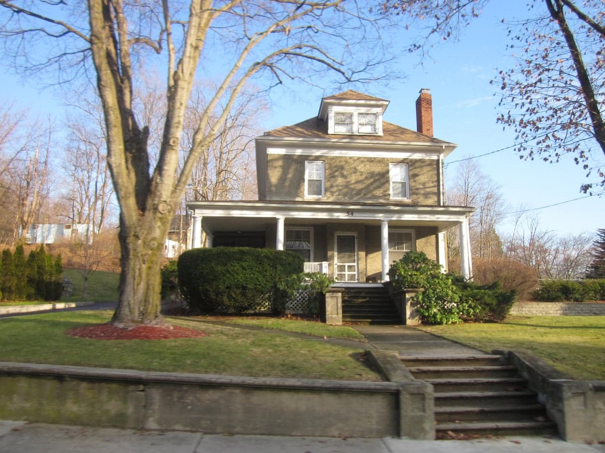
Photo: Wikipedia
Strategic Assessment of Franklin, NJ
Multiple tactical vulnerabilities. Population density, target proximity, or disaster risk are likely compounding. A retreat property and exit planning is required.
What does the Strategic Assessment tell us?
Our Strategic Assessment grades tactical survivability of an area. Major population centers, military targets, fallout zones, natural disasters, and border exposure all drive risk — lower exposure means a more defensible position in a crisis.
This is heavily inspired by Joel Skousen's Strategic Relocation book. Highly recommended you checkout the book ($)What does this tell us?
Our Strategic Assessment grades tactical survivability of an area. Major population centers, military targets, fallout zones, natural disasters, and border exposure all drive risk — lower exposure means a more defensible position in a crisis.
This is heavily inspired by Joel Skousen's Strategic Relocation book. Highly recommended you checkout the book ($)Strategic Pillars

Key Distances
Regional Safe Places
Below is our recommended "safe zones" in New Jersey and the surrounding area based on our strategic heuristics. For most people, it's unrealistic to live in a “safe zone” full-time due to work, family or other personal reasons. They tend to be more rural. However, many of these areas are perfect for second homes and retreat properties that double as a vacation home or even a short-term rental.




Important Note: For informational purposes only. This does not mean nothing bad ever happens in the green zones. Please use common sense. This is based on public data and modeled with AI. We tried to take a conservative approach but mistakes happen. We update this regularly as new information becomes available.
Solar Generator Recommendations
Backup power matters more here than in safer locations. We've picked three solar generators across budgets and capacity tiers — start with the budget unit if you only need a few essentials, or step up if you want to run a fridge and HVAC for days at a time.

Jackery Portable Power Station Explorer 300
Budget OptionPower on the Go: Weighing only 11 lbs, it's convenient to set up and store with book-sized foldable solar panels

BLUETTI Portable Power Station AC180
Designed for both indoor and outdoor scenarios, AC180 is highly capable as it has a robost capacity and continuous output power.

EF ECOFLOW DELTA Pro Ultra Power Station
Upgraded PickEcoFlow DELTA Pro Ultra is a whole-home energy system designed to grow with your family. Integrated with the Smart Home Panel 2, it scales to meet your evolving energy needs — keeping your home powered, intelligent, and secure through every stage of life.
We earn a commission, at no additional cost to you.
Strategic Assessment Analysis
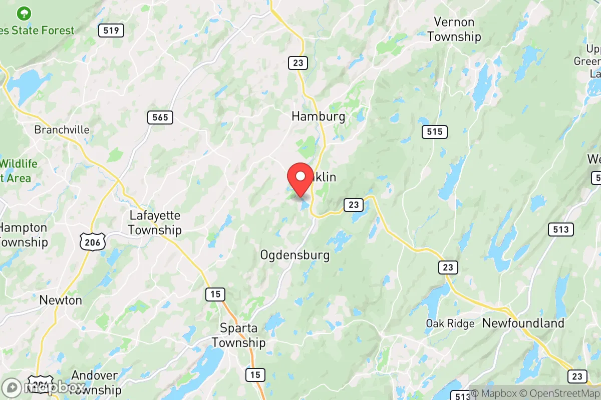
Franklin, New Jersey, occupies a strategic position in the state’s northwestern corner that offers a meaningful blend of rural seclusion and practical access to essential resources, making it a location worth serious consideration for those prioritizing disaster readiness and long-term self-sufficiency. The area’s resilience is rooted in its geography—situated in Sussex County, roughly 50 miles from New York City and 30 miles from Newark—which places it far enough from major metropolitan centers to reduce exposure to cascading urban failures, yet close enough to leverage supply chains and medical infrastructure when conditions are stable. For a relocator weighing risks and preparedness, Franklin provides a defensible base with natural barriers, a cooler climate that mitigates heat-related extremes, and a community that has historically maintained a degree of independence from the denser corridors of the Northeast.
Geographic position and natural advantages for disaster readiness
Franklin’s location in the Highlands region of New Jersey gives it a distinct topographical edge. The area sits on elevated terrain, with elevations ranging from 500 to over 1,000 feet, which reduces flood risk compared to low-lying coastal or riverine zones. The surrounding landscape is a mix of hardwood forests, rolling hills, and small lakes—features that provide natural cover, water sources, and fuel for heating. The Wallkill River and several smaller streams run through the township, offering surface water that can be treated for drinking, though groundwater wells are common among rural properties. The region’s geology includes iron and zinc deposits, remnants of Franklin’s mining history, which could theoretically be relevant for long-term resource extraction, though this is not a practical near-term advantage for most relocators. The cooler microclimate, with average summer highs around 80°F and winter lows in the teens, reduces the risk of heatwaves and slows the spread of wildfires, which are more common in drier western states. For a family or individual seeking a location that is not a primary target for natural disasters, Franklin’s low seismic activity, minimal hurricane impact (storms typically weaken by the time they reach this inland area), and moderate snowfall—averaging 30-40 inches annually—make it a stable choice.
Risks, exposures, and proximity to fallout-relevant landmarks
The most significant risk for Franklin is its proximity to high-value targets in the New York City metropolitan area, which is roughly a 60- to 90-minute drive east. In a major geopolitical conflict or nuclear exchange scenario, the fallout plume from a strike on Manhattan, Newark, or the Port of New York and New Jersey could reach Sussex County depending on wind patterns, though the distance provides a buffer that many closer suburbs lack. Prevailing westerly winds in the region mean that fallout from a New York City event would likely be carried eastward over the Atlantic, but a shift to easterly winds could direct contamination into northwestern New Jersey. Franklin is also within 40 miles of the Indian Point Energy Center (now decommissioned but still containing spent fuel) and the Oyster Creek Nuclear Generating Station (also decommissioned), both of which pose a low but non-zero risk of radiological release during a disaster. The area’s industrial exposure is limited—there are no major chemical plants or refineries in the immediate vicinity—but the nearby Interstate 80 and Route 23 corridors carry hazardous materials traffic, including propane and gasoline, which could create localized hazards from accidents. For a relocator, the primary man-made risk is not direct blast damage but the potential for secondary effects: mass evacuation from the New York metro area could overwhelm local roads and resources, as seen during Hurricane Sandy in 2012 when Sussex County saw a surge of evacuees. Franklin’s distance from major military installations (e.g., Picatinny Arsenal is 20 miles south) is a moderate concern, but these are not primary targets in most conflict scenarios.
Practical resilience for a relocator: food, water, energy, and defensibility
Franklin offers a solid foundation for practical self-sufficiency, though it requires deliberate preparation. The area’s agricultural capacity is moderate—Sussex County has over 200 farms, producing dairy, hay, corn, and vegetables, with several farmers’ markets and CSAs operating in nearby towns like Newton and Sparta. A relocator with land can establish a substantial garden, raise chickens or goats, and tap maple trees for syrup, all of which are feasible given the growing season of roughly 150 days. Water availability is a strength: most rural properties have private wells drawing from the Highlands aquifer, which is generally reliable and of good quality, though testing for heavy metals (from historic mining) is advisable. For off-grid energy, the region’s tree cover provides ample firewood, and solar potential is decent—Sussex County averages about 4.5 peak sun hours per day, enough to power a modest home with battery storage. However, winter cloud cover can reduce solar output for weeks at a time, so a backup generator or wind turbine (feasible on ridgelines) is prudent. Defensibility is a mixed picture: the terrain offers natural chokepoints on the narrow, winding roads (e.g., County Route 517, Route 23), and the forested hills provide cover, but the area is not remote enough to prevent determined intruders. The nearest police station is in Franklin Borough, with a small force; the Sussex County Sheriff’s Office provides backup, but response times in rural areas can exceed 20 minutes. For a family, the community’s hunting culture (deer, turkey, small game) means many locals are familiar with firearms and outdoor skills, which can be an asset for mutual aid networks. The biggest practical weakness is food storage: the area has no major grain silos or long-term food distribution centers, so a relocator should plan for at least a six-month supply of staples, as supply chains to rural grocery stores can be disrupted by road closures or fuel shortages.
Overall, Franklin presents a balanced strategic picture for the disaster-conscious relocator. It avoids the extreme risks of coastal or urban locations while offering enough natural resources and geographic isolation to support a self-reliant lifestyle. The trade-offs are clear: you trade the convenience of city amenities for a buffer against cascading failures, but you must accept the reality that a major event in the New York metro area will still affect you through evacuee flows, potential fallout, and economic disruption. The area’s resilience is not automatic—it requires active investment in well water treatment, backup power, food storage, and community ties. For a single individual or family willing to put in that work, Franklin provides a defensible, resource-rich base that is far better positioned than most of the Northeast. The key is to treat it as a long-term project, not a turnkey solution, and to build relationships with neighbors who share your preparedness mindset. In a region where most people are not thinking about these risks, being the one who is can make all the difference.

* Values derived from national, state, county, city and local statistics and may differ in a specific area. Last updated: 2026-09-21T01:03:06.000Z
Narrative content on this page is AI-generated and may contain mistakes. Verify any details that matter before acting on them.
ReloMaps may earn a commission from affiliate links at no extra cost to you.

