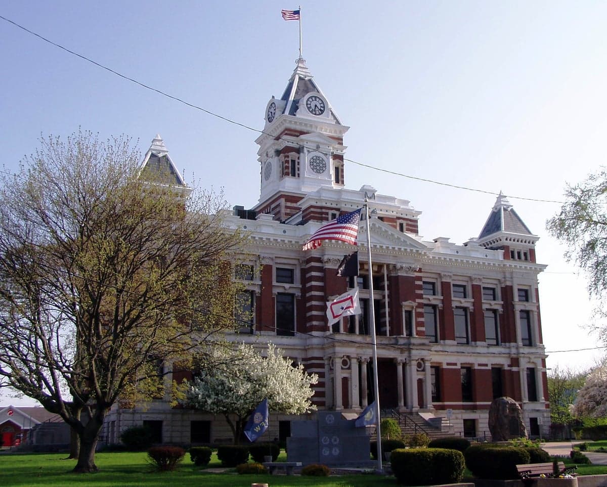
Photo: Wikipedia
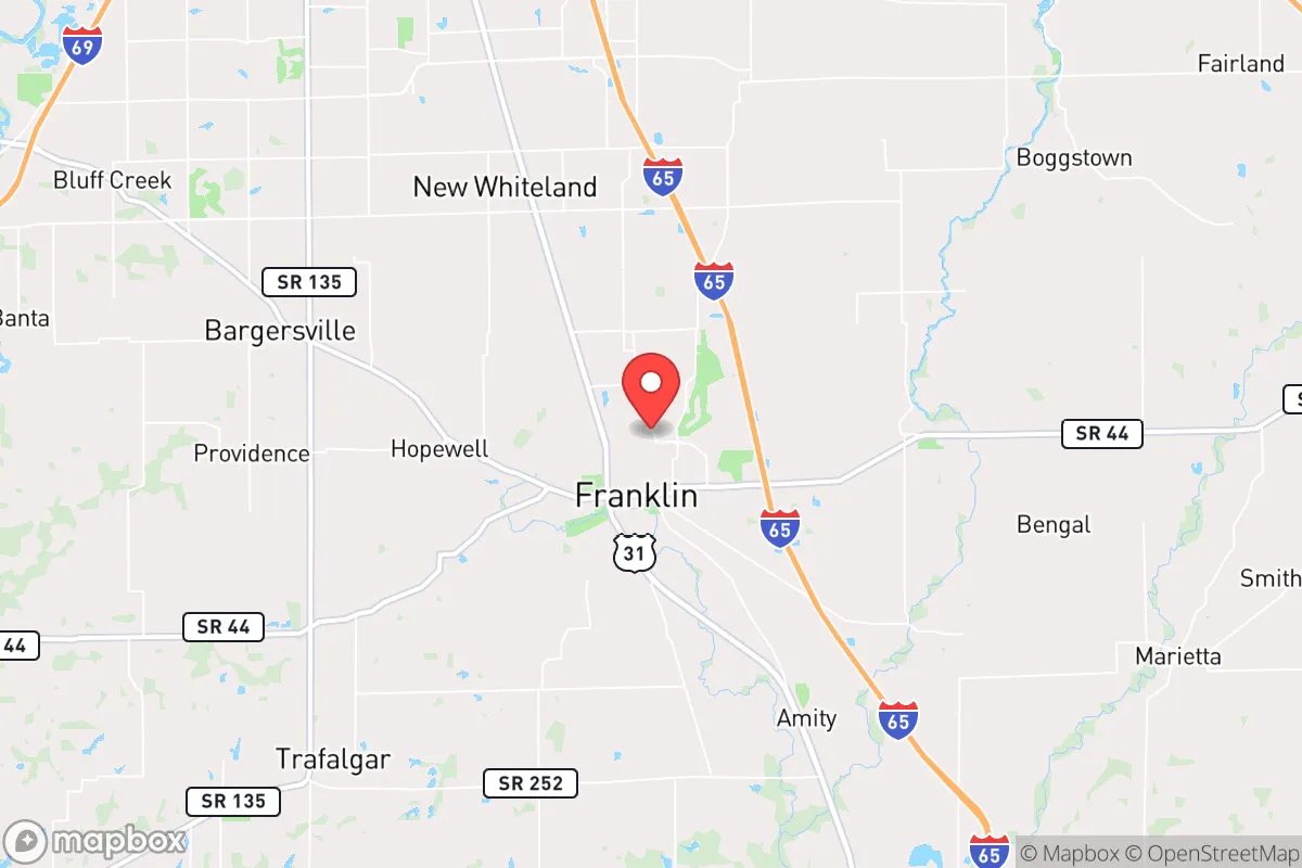
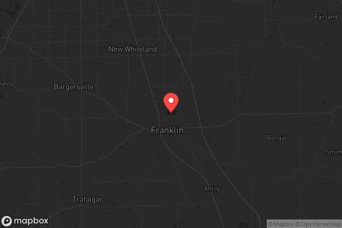
Strategic Assessment of Franklin, IN
Meaningful friction. Expect exposure to either population pressure, blast zones, or natural disaster risk. Consider buying a retreat property.
What does the Strategic Assessment tell us?
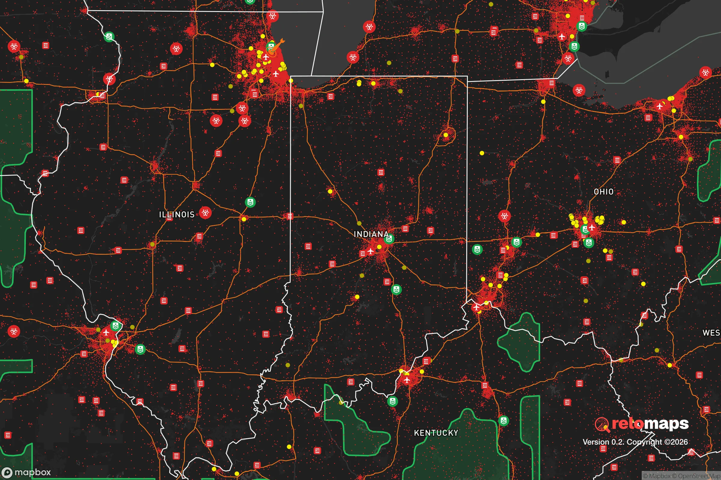
Our Strategic Assessment grades tactical survivability of an area. Major population centers, military targets, fallout zones, natural disasters, and border exposure all drive risk — lower exposure means a more defensible position in a crisis.
This is heavily inspired by Joel Skousen's Strategic Relocation book. Highly recommended you checkout the book ($)What does this tell us?
Our Strategic Assessment grades tactical survivability of an area. Major population centers, military targets, fallout zones, natural disasters, and border exposure all drive risk — lower exposure means a more defensible position in a crisis.
This is heavily inspired by Joel Skousen's Strategic Relocation book. Highly recommended you checkout the book ($)Strategic Pillars

Key Distances
Regional Safe Places
Below is our recommended "safe zones" in Indiana and the surrounding area based on our strategic heuristics. For most people, it's unrealistic to live in a “safe zone” full-time due to work, family or other personal reasons. They tend to be more rural. However, many of these areas are perfect for second homes and retreat properties that double as a vacation home or even a short-term rental.

Important Note: For informational purposes only. This does not mean nothing bad ever happens in the green zones. Please use common sense. This is based on public data and modeled with AI. We tried to take a conservative approach but mistakes happen. We update this regularly as new information becomes available.
Solar Generator Recommendations
Backup power matters more here than in safer locations. We've picked three solar generators across budgets and capacity tiers — start with the budget unit if you only need a few essentials, or step up if you want to run a fridge and HVAC for days at a time.

Jackery Portable Power Station Explorer 300
Budget OptionPower on the Go: Weighing only 11 lbs, it's convenient to set up and store with book-sized foldable solar panels

BLUETTI Portable Power Station AC180
Designed for both indoor and outdoor scenarios, AC180 is highly capable as it has a robost capacity and continuous output power.

EF ECOFLOW DELTA Pro Ultra Power Station
Upgraded PickEcoFlow DELTA Pro Ultra is a whole-home energy system designed to grow with your family. Integrated with the Smart Home Panel 2, it scales to meet your evolving energy needs — keeping your home powered, intelligent, and secure through every stage of life.
We earn a commission, at no additional cost to you.
Strategic Assessment Analysis
Franklin, Indiana, sits in a deceptive pocket of the Midwest that offers more strategic depth than its quiet exterior suggests. For a relocator operating with a survivalist or prepper mindset, this Johnson County seat presents a mixed bag: genuine geographic resilience paired with proximity to risks that demand serious mitigation. The town’s population hovers around 25,000, large enough to support infrastructure but small enough to avoid the chaos of a major metro. Its location along U.S. 31 and near I-65 gives it solid logistical access, but that same connectivity is a double-edged sword when considering evacuation routes or supply chain disruptions. The area’s agricultural base, relatively stable water table, and distance from coastal threats make it a plausible base for long-term preparation, provided you understand the vulnerabilities baked into its position.
Geographic position and natural advantages for long-term security
Franklin’s real strength lies in its position within the Indiana till plain, a region of deep, fertile soils and ample groundwater. The town sits atop the Buried Teays River aquifer system, which means well water is generally accessible and reliable—a critical factor for off-grid water security. The surrounding farmland is not just scenic; it represents a local food production capacity that many suburban areas lack entirely. Within a 20-mile radius, you’ll find working farms, grain elevators, and livestock operations that could sustain a localized food network if national distribution falters. The terrain is gently rolling, offering decent line-of-sight for property security without the concealment challenges of dense forest or the exposure of flat plains. Winters are cold enough to slow disease vectors but not severe enough to make off-grid heating impossible with proper wood or propane stores. The area is also far from major fault lines, hurricane zones, and wildfire corridors, reducing the likelihood of natural disaster compounding a man-made crisis.
Risks, exposures, and proximity to fallout-relevant landmarks
The most significant vulnerability for Franklin is its proximity to Indianapolis, roughly 20 miles north. In a scenario involving civil unrest, mass casualty events, or a major disaster, Indianapolis becomes a source of refugee flow, supply chain disruption, and potential targeting. The city hosts major infrastructure—the Indianapolis International Airport, rail yards, and the convergence of interstates 65, 70, and 74—all of which are plausible targets for sabotage or secondary effects from a larger event. Franklin sits directly along U.S. 31, a primary evacuation corridor from the metro area. That means any mass exodus from Indianapolis will likely pass through or near Franklin, creating choke points and security risks. Additionally, Johnson County has several industrial sites, including chemical storage and manufacturing facilities, that could become hazards if grid power fails or oversight collapses. The nearby Camp Atterbury Joint Maneuver Training Center, about 15 miles south, is a military installation that could become a focal point for federal activity or, conversely, a target. For the prepper, these are not dealbreakers but require a clear plan: harden your property, establish alternate routes, and maintain a low profile to avoid drawing attention from transient populations.
Practical resilience for a relocator: food, water, energy, and defensibility
For a single individual or family looking to establish a resilient homestead, Franklin offers a workable foundation with some notable gaps. Water is the strongest asset: the Johnson County area has a high water table, and many rural properties already have private wells. Even within city limits, the municipal water supply draws from deep aquifers, making it less vulnerable to surface contamination than systems reliant on rivers or reservoirs. That said, you should still budget for a backup well pump (hand or solar) and at least two weeks of stored water per person. Food security is achievable through local sourcing: the Johnson County Farmers Market operates seasonally, and there are several CSAs within a 30-minute drive. For long-term storage, the area has multiple big-box retailers (Walmart, Rural King) and a few smaller hardware stores, but you’ll want to establish relationships with local farmers for bulk grains, meat, and produce before any crisis hits. Energy resilience is more challenging. The local grid is typical of the Midwest—aging infrastructure, vulnerable to ice storms and summer storms. Solar is viable, with average annual sunlight comparable to much of the Ohio Valley, but you’ll need battery storage to handle the cloudy stretches. Natural gas is available in town, but rural properties often rely on propane, which requires delivery and storage. Defensibility varies by property. The town itself is laid out in a traditional grid, which is hard to secure. The real opportunity lies in the surrounding unincorporated areas: properties with tree lines, long driveways, and good sightlines are available at prices far below national averages. A 5-10 acre parcel with a well, septic, and a metal roof can be found for under $200,000, which is a bargain for the level of autonomy it provides.
The overall strategic picture for Franklin is one of cautious viability. It is not a hardened bunker location, nor is it a remote mountain retreat. What it offers is a middle ground: enough distance from Indianapolis to avoid the worst of urban collapse, but close enough to benefit from its resources during stable times. The agricultural base, water access, and relatively low population density give it a resilience profile that outperforms most suburban or exurban areas in the Midwest. The risks are real—proximity to a major city, exposure to evacuation corridors, and the presence of industrial and military infrastructure—but they are manageable with proper planning. For the conservative-leaning relocator who values community, self-reliance, and a slower pace, Franklin represents a defensible position. It is not a place to wait out the apocalypse in isolation, but it is a place where a prepared family can ride out disruptions, maintain a low profile, and still have access to the resources needed to rebuild. The key is to arrive with a plan, not just a hope.
* Values derived from national, state, county, city and local statistics and may differ in a specific area. Last updated: 2026-04-22T08:37:58.000Z
Narrative content on this page is AI-generated and may contain mistakes. Verify any details that matter before acting on them.
ReloMaps may earn a commission from affiliate links at no extra cost to you.