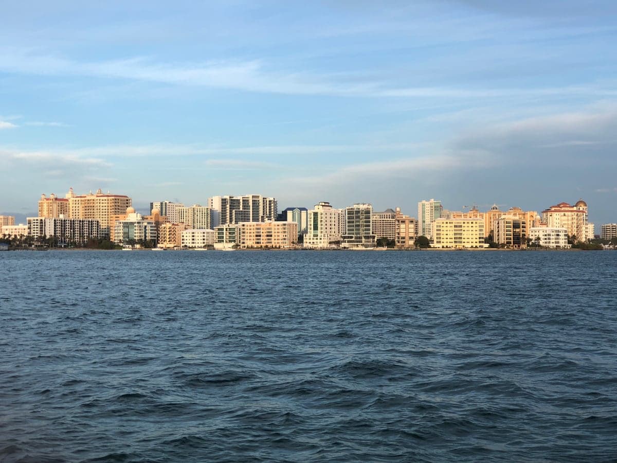
Photo: Wikipedia
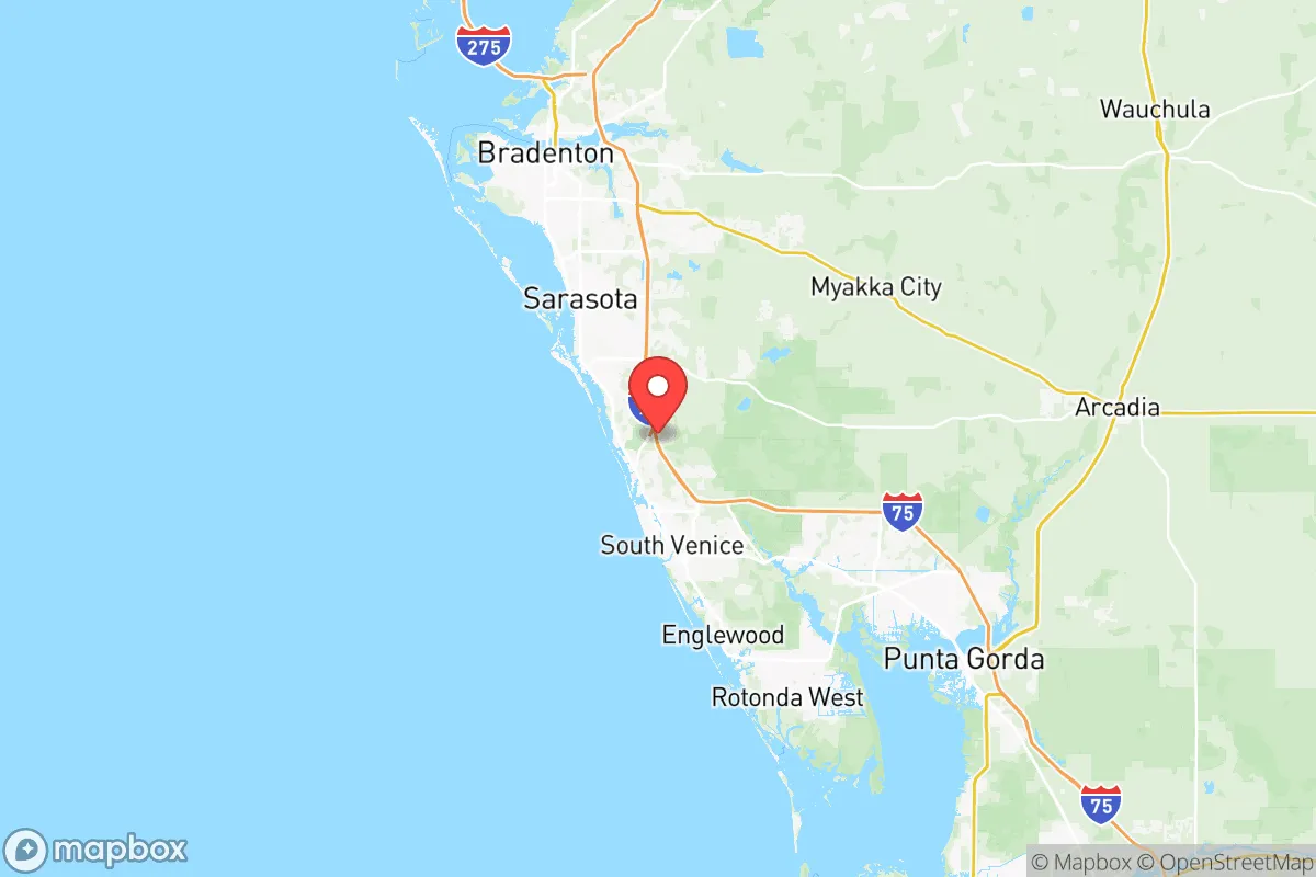
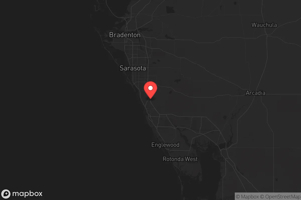
Strategic Assessment of Sarasota County
Meaningful friction. Expect exposure to either population pressure, blast zones, or natural disaster risk. Consider buying a retreat property.
What does the Strategic Assessment tell us?
Our Strategic Assessment grades tactical survivability of an area. Major population centers, military targets, fallout zones, natural disasters, and border exposure all drive risk — lower exposure means a more defensible position in a crisis.
This is heavily inspired by Joel Skousen's Strategic Relocation book. Highly recommended you checkout the book ($)What does this tell us?
Our Strategic Assessment grades tactical survivability of an area. Major population centers, military targets, fallout zones, natural disasters, and border exposure all drive risk — lower exposure means a more defensible position in a crisis.
This is heavily inspired by Joel Skousen's Strategic Relocation book. Highly recommended you checkout the book ($)Strategic Pillars

Key Distances
Strategic Assessment Analysis
Sarasota County, Florida, sits in a strategic sweet spot along the Gulf Coast—close enough to Tampa’s resources and infrastructure to be practical, yet far enough from the urban core to offer breathing room when things go sideways. For someone thinking about long-term security, civic stability, and natural resilience, this stretch of coastline presents a mixed bag: real advantages in geography and community, but also genuine exposures that demand a clear-eyed plan. The county’s wealth, low crime relative to nearby metros, and access to both Gulf waters and inland rural areas make it a contender for relocation, but only if you understand where the risks actually lie.
Geographic position and natural advantages for long-term security
Sarasota County runs from the barrier islands—Siesta Key, Lido Key, Longboat Key—eastward through the city of Sarasota, then into more suburban and rural terrain around Venice, North Port, and the Myakka River State Park. That east-west gradient is key: you can live on the water with all the amenities, or push inland toward the Myakka Valley where land is cheaper, more private, and less exposed to storm surge. The county’s position between Tampa Bay to the north and Charlotte Harbor to the south means you’re not isolated, but you’re also not in the bullseye of a major metropolitan target. I-75 cuts north-south through the county, giving you a direct evacuation route inland toward Arcadia and the central Florida ranchlands—a critical asset if a hurricane or other event forces a rapid move. The Gulf itself provides a food source (fishing, crabbing) and a natural barrier to the west, but that same coastline is the county’s biggest vulnerability. The inland areas around North Port and the Myakka River offer a more defensible, lower-density option for those who want space to garden, store supplies, and keep a low profile.
Risks, exposures, and proximity to fallout-relevant landmarks
Let’s be blunt: Sarasota County is not a fallout shelter. It’s a coastal county with real hurricane risk—storm surge zones cover much of the barrier islands and low-lying areas near the bay. The county’s emergency management plans rely heavily on I-75 and US-41 for evacuation, and both can clog fast when a Category 4 or 5 is bearing down. Beyond weather, the strategic picture includes proximity to potential targets. MacDill Air Force Base in Tampa, about 60 miles north, is a high-value military installation that could be a primary or secondary target in a conflict. The Port of Tampa, with its petroleum terminals and shipping infrastructure, is another obvious industrial target. While Sarasota County itself has no major military bases, refineries, or nuclear plants, it sits within the fallout plume zone if a strike hit Tampa under prevailing winds from the north. The Crystal River Nuclear Plant (now decommissioned but still a spent fuel storage site) lies about 80 miles north, and Turkey Point Nuclear Plant is 150 miles south near Miami—both distant but worth noting for worst-case planning. On the civil unrest front, Sarasota’s high median income and retiree-heavy population could make it a target for looting or resource-seeking mobs if supply chains break down in Tampa or Fort Myers. The county’s wealth also means real estate is expensive, which can be a barrier to securing a large property with room for self-sufficiency.
Practical resilience for a relocator: food, water, energy, and defensibility
Water is the first concern. Sarasota County draws from the Floridan Aquifer, which is generally abundant but faces saltwater intrusion along the coast and increasing demand from development. Homes with private wells east of I-75 are far more resilient than those on municipal water—if the grid goes down, you still have water if you have a generator or hand pump. The county’s water utility has backup generators, but a long-duration outage could strain the system. Food-wise, the area has active agriculture: cattle ranches in the Myakka Valley, citrus groves, and vegetable farms around Arcadia and Hardee County just east. The Gulf provides seafood, but that’s seasonal and dependent on fuel for boats. For energy, Sarasota County is heavily reliant on Florida Power & Light’s grid, which is vulnerable to hurricane damage—witness the prolonged outages after Hurricane Ian in 2022. Solar is viable here (lots of sun), but battery storage is essential if you want to stay off-grid during a crisis. Defensibility is mixed: the barrier islands are choke points with limited bridge access, making them easy to isolate but also easy to trap. Inland areas like North Port and the rural eastern part of the county offer more road options and space to create a buffer. The county’s law enforcement presence is robust, but in a widespread emergency, you can’t rely on rapid response. Community preparedness groups and prepper networks exist, but they’re not as organized as in more rural parts of Florida—you’ll need to build your own plan and connections.
Overall, Sarasota County is a solid option for someone who wants a balance of coastal living and strategic depth, but it’s not a bug-out location. The best approach is to secure a property east of I-75, preferably with a well, solar panels, and enough land for a garden and rainwater catchment. Keep a vehicle fueled and ready to head further inland toward the Peace River basin or the central Florida ranchlands if a major event unfolds. The county’s wealth and amenities are a double-edged sword: they make daily life comfortable, but they also attract attention when times get tough. If you’re willing to invest in preparation and stay aware of the risks from Tampa’s targets and hurricane season, Sarasota County can serve as a long-term base—just don’t mistake it for a fortress.
* Values derived from national, state, county, city and local statistics and may differ in a specific area. Last updated: 2026-05-14T20:38:04.000Z
Narrative content on this page is AI-generated and may contain mistakes. Verify any details that matter before acting on them.
ReloMaps may earn a commission from affiliate links at no extra cost to you.