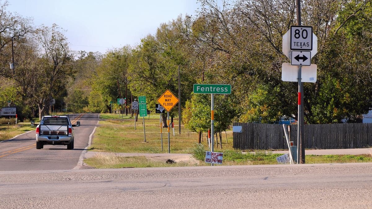
Photo: Wikipedia
Strategic Assessment of Fentress, TX
Meaningful friction. Expect exposure to either population pressure, blast zones, or natural disaster risk. Consider buying a retreat property.
What does the Strategic Assessment tell us?
Our Strategic Assessment grades tactical survivability of an area. Major population centers, military targets, fallout zones, natural disasters, and border exposure all drive risk — lower exposure means a more defensible position in a crisis.
This is heavily inspired by Joel Skousen's Strategic Relocation book. Highly recommended you checkout the book ($)What does this tell us?
Our Strategic Assessment grades tactical survivability of an area. Major population centers, military targets, fallout zones, natural disasters, and border exposure all drive risk — lower exposure means a more defensible position in a crisis.
This is heavily inspired by Joel Skousen's Strategic Relocation book. Highly recommended you checkout the book ($)Strategic Pillars

Key Distances
Regional Safe Places
Below is our recommended "safe zones" in Texas and the surrounding area based on our strategic heuristics. For most people, it's unrealistic to live in a “safe zone” full-time due to work, family or other personal reasons. They tend to be more rural. However, many of these areas are perfect for second homes and retreat properties that double as a vacation home or even a short-term rental.

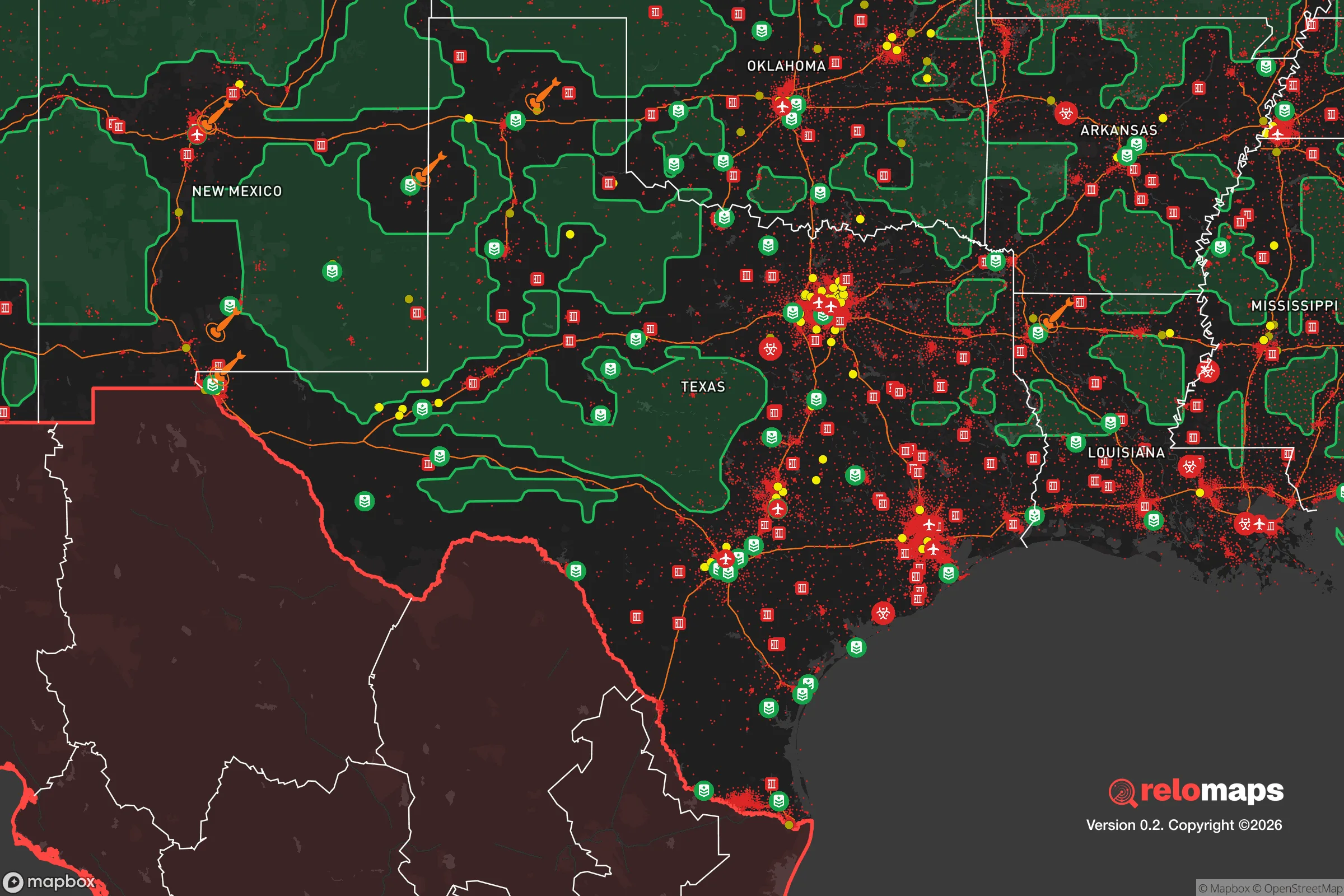


Important Note: For informational purposes only. This does not mean nothing bad ever happens in the green zones. Please use common sense. This is based on public data and modeled with AI. We tried to take a conservative approach but mistakes happen. We update this regularly as new information becomes available.
Solar Generator Recommendations
Backup power matters more here than in safer locations. We've picked three solar generators across budgets and capacity tiers — start with the budget unit if you only need a few essentials, or step up if you want to run a fridge and HVAC for days at a time.

Jackery Portable Power Station Explorer 300
Budget OptionPower on the Go: Weighing only 11 lbs, it's convenient to set up and store with book-sized foldable solar panels

BLUETTI Portable Power Station AC180
Designed for both indoor and outdoor scenarios, AC180 is highly capable as it has a robost capacity and continuous output power.

EF ECOFLOW DELTA Pro Ultra Power Station
Upgraded PickEcoFlow DELTA Pro Ultra is a whole-home energy system designed to grow with your family. Integrated with the Smart Home Panel 2, it scales to meet your evolving energy needs — keeping your home powered, intelligent, and secure through every stage of life.
We earn a commission, at no additional cost to you.
Strategic Assessment Analysis
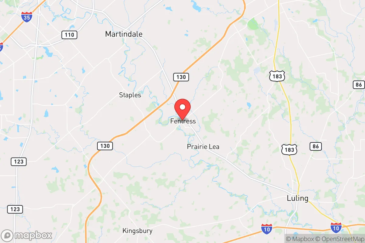
Fentress, Texas, offers a compelling strategic position for those prioritizing resilience and self-sufficiency, sitting at a deliberate distance from major metropolitan centers while retaining access to their logistical networks. Located in Caldwell County, roughly 45 miles south of Austin and 50 miles east of San Marcos, this unincorporated community of fewer than 1,000 residents occupies a sweet spot: close enough to reach urban resources within an hour, yet far enough to avoid the immediate blast zones, grid collapse, and population surges that would accompany a major disaster in those cities. The area's low population density, agricultural land base, and position along the San Marcos River provide a foundation for long-term sustainability that is increasingly rare in Central Texas.
Geographic position and natural advantages for long-term stability
Fentress sits within the Blackland Prairie region, a zone of deep, fertile clay soils that historically supported cotton and corn farming and today remains viable for small-scale agriculture and livestock. The area's elevation of roughly 500 feet above sea level places it above the flood-prone bottomlands of the San Marcos River, though the river itself runs just east of town and provides a reliable surface water source. The surrounding terrain is gently rolling with scattered oak and pecan groves, offering natural cover and defensible sightlines without the extreme fire risk of the Hill Country's cedar brakes. The climate is humid subtropical, with an average of 35 inches of rainfall per year—sufficient for rain catchment and dryland farming without the drought volatility of West Texas. The region's position in the I-35 corridor's agricultural belt means that local food production is not hypothetical; Caldwell County has over 1,500 farms and ranches, many within a 15-mile radius of Fentress, producing beef, poultry, hay, and row crops. This proximity to active farmland is a tangible resilience asset, as it reduces dependence on long-distance supply chains for basic calories.
Risks, exposures, and proximity to fallout-relevant landmarks
The primary natural risk in Fentress is flash flooding from the San Marcos River and its tributaries during intense rainfall events, though the town's core sits on higher ground. Tornado risk is moderate—Caldwell County averages 3-5 tornado warnings per year, with the most recent significant event being an EF-1 in 2023 near the town of Lockhart. Wildfire risk is low due to the agricultural landscape and lack of dense forest fuel loads. The more serious consideration for a resilience-minded relocator is man-made risk. Fentress lies 45 miles from Austin-Bergstrom International Airport, a potential target in a conflict scenario, and 55 miles from the South Texas Nuclear Generating Station near Bay City, which is roughly 120 miles away—outside the lethal radiation zone for a worst-case release but within the range of fallout plume dispersion depending on wind patterns. The town is also 30 miles from the San Marcos Army Aviation Support Facility and 40 miles from Camp Mabry in Austin, both of which could become staging areas during civil unrest or military operations. The I-35 corridor, running 20 miles west, would likely become a chokepoint for evacuation or supply movement during a crisis. On balance, Fentress is far enough from high-value targets to avoid direct effects but close enough to experience secondary impacts like refugee flow, supply chain disruption, and electromagnetic pulse (EMP) effects on the regional grid. The town's lack of any major industrial or military infrastructure within its immediate vicinity is a net positive for strategic assessment.
Practical resilience for a relocator: food, water, energy, and defensibility
For a family or individual serious about self-sufficiency, Fentress offers a workable baseline. Water access is the strongest asset: the San Marcos River provides a perennial surface water source, and the underlying Carrizo-Wilcox Aquifer is one of the most productive in Texas, with wells in the area typically yielding 200-500 gallons per minute at depths of 200-400 feet. Rainwater catchment is also viable given the 35-inch annual rainfall, and many rural properties already have cisterns or stock tanks. Food resilience is supported by the local agricultural economy—Caldwell County has a farmers' market in Lockhart (10 miles north) and multiple U-pick operations, but a relocator should plan to establish a garden and possibly small livestock within the first year, as grocery options in Fentress itself are limited to a single convenience store. Energy resilience is a weaker point: the area is served by the Electric Reliability Council of Texas (ERCOT) grid, which has shown vulnerability during Winter Storm Uri (2021) and summer heat waves. Solar potential is good, with an average of 220 sunny days per year, but battery storage is essential for nighttime and cloudy periods. Propane delivery is available from suppliers in Lockhart and Luling, and wood heating is feasible given the local oak and mesquite stands. Defensibility is moderate: the town's layout is a loose grid of county roads with few choke points, but the surrounding farmland offers clear sightlines and limited cover for approach. The community is small enough that neighbors know each other, which can be a double-edged sword—strong social cohesion aids mutual aid but also means outsiders are quickly noticed. The nearest law enforcement is the Caldwell County Sheriff's Office in Lockhart, with a typical response time of 15-25 minutes for rural calls. A relocator should plan for self-defense capability and a neighborhood communication plan, as formal emergency services will be stretched in a crisis.
The overall strategic picture for Fentress is one of moderate-to-strong resilience with clear trade-offs. It avoids the extreme risks of urban proximity while retaining access to urban medical and logistical resources within an hour's drive. The agricultural base, water availability, and low population density provide a solid foundation for long-term self-sufficiency, but the area's dependence on the ERCOT grid and its position within the I-35 corridor's secondary effects zone mean that a relocator must invest in backup power, water storage, and food production capacity from day one. For a conservative-leaning family or individual who values privacy, land, and the ability to weather disruptions without isolation, Fentress represents a rational choice—not a bunker, but a viable base of operations in an uncertain future. The key is to treat it as a starting point, not a finished solution: the land and water are there, but the infrastructure and community systems require active development by those who choose to settle here.

* Values derived from national, state, county, city and local statistics and may differ in a specific area. Last updated: 2026-09-03T06:07:58.000Z
Narrative content on this page is AI-generated and may contain mistakes. Verify any details that matter before acting on them.
ReloMaps may earn a commission from affiliate links at no extra cost to you.

