
Photo: Wikipedia
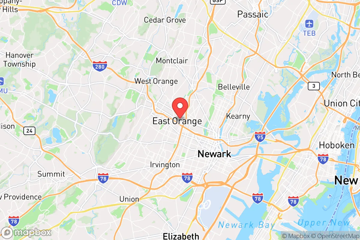
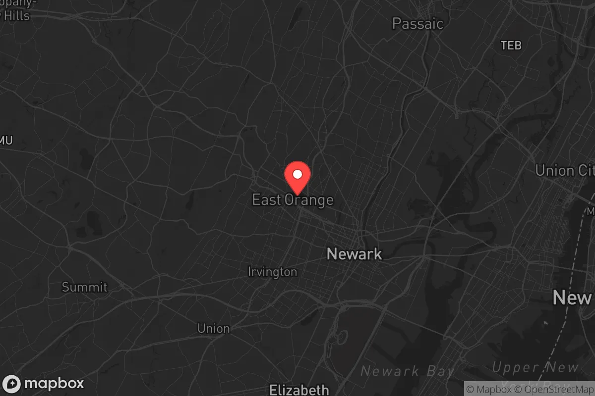
Strategic Assessment of East Orange, NJ
High tactical risk. This location is likely close to major population centers, strategic targets, or sits in a high-disaster corridor. A retreat property and careful exit planning is required.
What does the Strategic Assessment tell us?
Our Strategic Assessment grades tactical survivability of an area. Major population centers, military targets, fallout zones, natural disasters, and border exposure all drive risk — lower exposure means a more defensible position in a crisis.
This is heavily inspired by Joel Skousen's Strategic Relocation book. Highly recommended you checkout the book ($)What does this tell us?
Our Strategic Assessment grades tactical survivability of an area. Major population centers, military targets, fallout zones, natural disasters, and border exposure all drive risk — lower exposure means a more defensible position in a crisis.
This is heavily inspired by Joel Skousen's Strategic Relocation book. Highly recommended you checkout the book ($)Strategic Pillars

Key Distances
Regional Safe Places
Below is our recommended "safe zones" in New Jersey and the surrounding area based on our strategic heuristics. For most people, it's unrealistic to live in a “safe zone” full-time due to work, family or other personal reasons. They tend to be more rural. However, many of these areas are perfect for second homes and retreat properties that double as a vacation home or even a short-term rental.


Important Note: For informational purposes only. This does not mean nothing bad ever happens in the green zones. Please use common sense. This is based on public data and modeled with AI. We tried to take a conservative approach but mistakes happen. We update this regularly as new information becomes available.
Solar Generator Recommendations
Backup power matters more here than in safer locations. We've picked three solar generators across budgets and capacity tiers — start with the budget unit if you only need a few essentials, or step up if you want to run a fridge and HVAC for days at a time.

Jackery Portable Power Station Explorer 300
Budget OptionPower on the Go: Weighing only 11 lbs, it's convenient to set up and store with book-sized foldable solar panels

BLUETTI Portable Power Station AC180
Designed for both indoor and outdoor scenarios, AC180 is highly capable as it has a robost capacity and continuous output power.

EF ECOFLOW DELTA Pro Ultra Power Station
Upgraded PickEcoFlow DELTA Pro Ultra is a whole-home energy system designed to grow with your family. Integrated with the Smart Home Panel 2, it scales to meet your evolving energy needs — keeping your home powered, intelligent, and secure through every stage of life.
We earn a commission, at no additional cost to you.
Strategic Assessment Analysis
East Orange, New Jersey, presents a deeply challenging strategic picture for a conservative-leaning relocator focused on resilience and preparedness. While its location offers theoretical advantages in terms of access to regional resources and transportation networks, the city’s extreme density, proximity to major urban centers, and status as a high-risk target zone make it a poor choice for anyone prioritizing long-term survival, self-sufficiency, or escape from societal collapse. This analysis will examine East Orange through a prepper’s lens, weighing its geographic position against the very real threats of civil unrest, mass casualty events, and fallout from a major disaster.
Geographic position and natural advantages for a prepper
East Orange sits in northeastern New Jersey, roughly 15 miles west of Manhattan, placing it squarely within the New York City metropolitan area’s gravitational pull. On paper, this offers some logistical benefits: the city is served by multiple NJ Transit rail lines (including the Morris & Essex line) and is a short drive from major interstates like I-280, the Garden State Parkway, and the New Jersey Turnpike. For a prepper, this means rapid access to regional supply chains—if those chains remain intact. The area’s natural advantages are limited. The Watchung Mountains lie to the west, offering some elevated terrain, but East Orange itself is flat, urban, and densely built-up, with little in the way of natural cover, water sources, or defensible chokepoints. The nearby Passaic River and the Hackensack River provide water, but both are heavily polluted and would require extensive filtration. The city’s position on the eastern seaboard also exposes it to nor’easters and hurricane remnants, though these are manageable with proper preparation. The real natural advantage is the proximity to the New Jersey Highlands and the Delaware Water Gap to the northwest—areas that could serve as a bug-out destination—but getting there would require navigating some of the most congested roads in the country during a crisis.
Risks, exposures, and proximity to fallout-relevant landmarks
The risks here are severe and should give any serious prepper pause. East Orange’s location within the New York City metro area makes it a high-probability target for a range of threats. In the event of a nuclear detonation in Manhattan—whether from a state actor or a terrorist group—the city would be within the moderate-to-heavy fallout zone, depending on wind direction. The prevailing westerlies would carry radioactive debris directly over East Orange within hours. Even a conventional attack on the region’s critical infrastructure—like the Port Newark-Elizabeth Marine Terminal, the region’s busiest container port, or the Linden Airport—could trigger cascading failures. The city is also within 10 miles of Newark Liberty International Airport, a major transportation hub that would be a prime target for disruption. For civil unrest, East Orange’s high population density (over 64,000 people per square mile) and its proximity to Newark and New York City mean that any large-scale protest, riot, or supply-chain collapse would quickly spill over. The city’s own crime rate is elevated—violent crime rates are roughly three times the national average—and during a breakdown of order, the streets would become extremely dangerous. The presence of major rail and highway corridors also means that East Orange would be a chokepoint for refugees fleeing the city, creating a bottleneck that could turn violent. In short, this is not a place to hunker down; it’s a place to get out of.
Practical resilience for a relocator: food, water, energy, and defensibility
For a relocator looking to build a resilient homestead, East Orange is a near-total non-starter. Food security is virtually nonexistent: the city is a food desert, with few grocery stores and a heavy reliance on convenience stores and fast food. During a supply-chain disruption, residents would be forced to compete for limited supplies at a handful of locations, and looting would be rampant. Water is a similar problem. The city’s water comes from the Passaic Valley Water Commission, which draws from the Passaic River—a source that is already contaminated with industrial pollutants and would be even more dangerous after a disaster. A prepper would need to stockpile weeks’ worth of bottled water and have a high-quality filtration system, but even then, the risk of contamination from upstream damage is high. Energy resilience is poor: the grid is old and prone to outages, and the dense urban environment makes solar panels impractical for most homes. A generator would be necessary, but running it would attract attention. Defensibility is the biggest weakness. East Orange is a grid of narrow streets, attached homes, and apartment buildings. There is no perimeter to secure, no natural barriers, and no space for a garden or a safe room. A single-family home with a backyard is a rarity, and even those are overlooked by neighbors on all sides. In a collapse scenario, you would be surrounded by desperate people with no escape route. The only defensible position would be a fortified apartment on a high floor, but that comes with its own risks—elevators fail, stairwells become kill zones, and you’re trapped if the building catches fire. For a prepper, the best strategy here is to use East Orange as a transit point—a place to have a small, low-profile apartment with a go-bag and a vehicle ready to bug out to a more rural location within the first 24 hours of a crisis.
The overall strategic picture for East Orange is clear: it is a high-risk, low-resilience location that offers few advantages for a conservative-leaning prepper. Its proximity to New York City and Newark makes it a target for fallout, civil unrest, and infrastructure collapse. The lack of natural defenses, food security, and water resilience means that long-term survival here would require extraordinary preparation and a willingness to leave at a moment’s notice. For a single individual or a family looking to build a sustainable, defensible retreat, East Orange is not the answer. It is, at best, a temporary staging ground for a bug-out plan. The smart money is on the rural areas to the west—the Highlands, the Poconos, or even upstate New York—where you can actually dig in, grow food, and control your perimeter. If you’re already in East Orange, your best move is to have a detailed evacuation plan, a stocked vehicle, and a destination secured. This is not a place to ride out the storm; it’s a place to leave before the storm hits.
* Values derived from national, state, county, city and local statistics and may differ in a specific area. Last updated: 2026-04-30T02:51:57.000Z
Narrative content on this page is AI-generated and may contain mistakes. Verify any details that matter before acting on them.
ReloMaps may earn a commission from affiliate links at no extra cost to you.