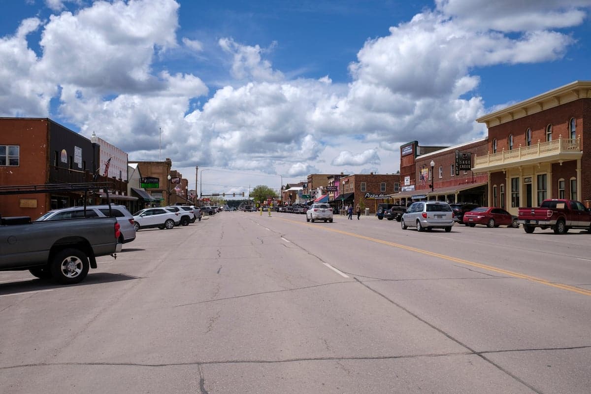
Photo: Wikipedia
Strategic Assessment of Custer, SD
Strong survivability profile. Good buffer from population centers, with manageable environmental and tactical risks.
What does the Strategic Assessment tell us?
Our Strategic Assessment grades tactical survivability of an area. Major population centers, military targets, fallout zones, natural disasters, and border exposure all drive risk — lower exposure means a more defensible position in a crisis.
This is heavily inspired by Joel Skousen's Strategic Relocation book. Highly recommended you checkout the book ($)What does this tell us?
Our Strategic Assessment grades tactical survivability of an area. Major population centers, military targets, fallout zones, natural disasters, and border exposure all drive risk — lower exposure means a more defensible position in a crisis.
This is heavily inspired by Joel Skousen's Strategic Relocation book. Highly recommended you checkout the book ($)Strategic Pillars

Key Distances
Regional Safe Places
Below is our recommended "safe zones" in South Dakota and the surrounding area based on our strategic heuristics. For most people, it's unrealistic to live in a “safe zone” full-time due to work, family or other personal reasons. They tend to be more rural. However, many of these areas are perfect for second homes and retreat properties that double as a vacation home or even a short-term rental.


Important Note: For informational purposes only. This does not mean nothing bad ever happens in the green zones. Please use common sense. This is based on public data and modeled with AI. We tried to take a conservative approach but mistakes happen. We update this regularly as new information becomes available.
Solar Generator Recommendations
Backup power matters more here than in safer locations. We've picked three solar generators across budgets and capacity tiers — start with the budget unit if you only need a few essentials, or step up if you want to run a fridge and HVAC for days at a time.

Jackery Portable Power Station Explorer 300
Budget OptionPower on the Go: Weighing only 11 lbs, it's convenient to set up and store with book-sized foldable solar panels

BLUETTI Portable Power Station AC180
Designed for both indoor and outdoor scenarios, AC180 is highly capable as it has a robost capacity and continuous output power.

EF ECOFLOW DELTA Pro Ultra Power Station
Upgraded PickEcoFlow DELTA Pro Ultra is a whole-home energy system designed to grow with your family. Integrated with the Smart Home Panel 2, it scales to meet your evolving energy needs — keeping your home powered, intelligent, and secure through every stage of life.
We earn a commission, at no additional cost to you.
Strategic Assessment Analysis
Custer, South Dakota, sits in a unique strategic pocket that offers genuine resilience for those thinking long-term about safety and self-reliance. Tucked into the southern Black Hills, this town of roughly 2,000 people benefits from low population density, rugged terrain, and distance from major metropolitan targets—all factors that make it a serious contender for a relocation focused on preparedness. Its location provides natural buffers against the cascading effects of civic unrest, supply chain disruptions, and mass casualty events that increasingly plague larger population centers.
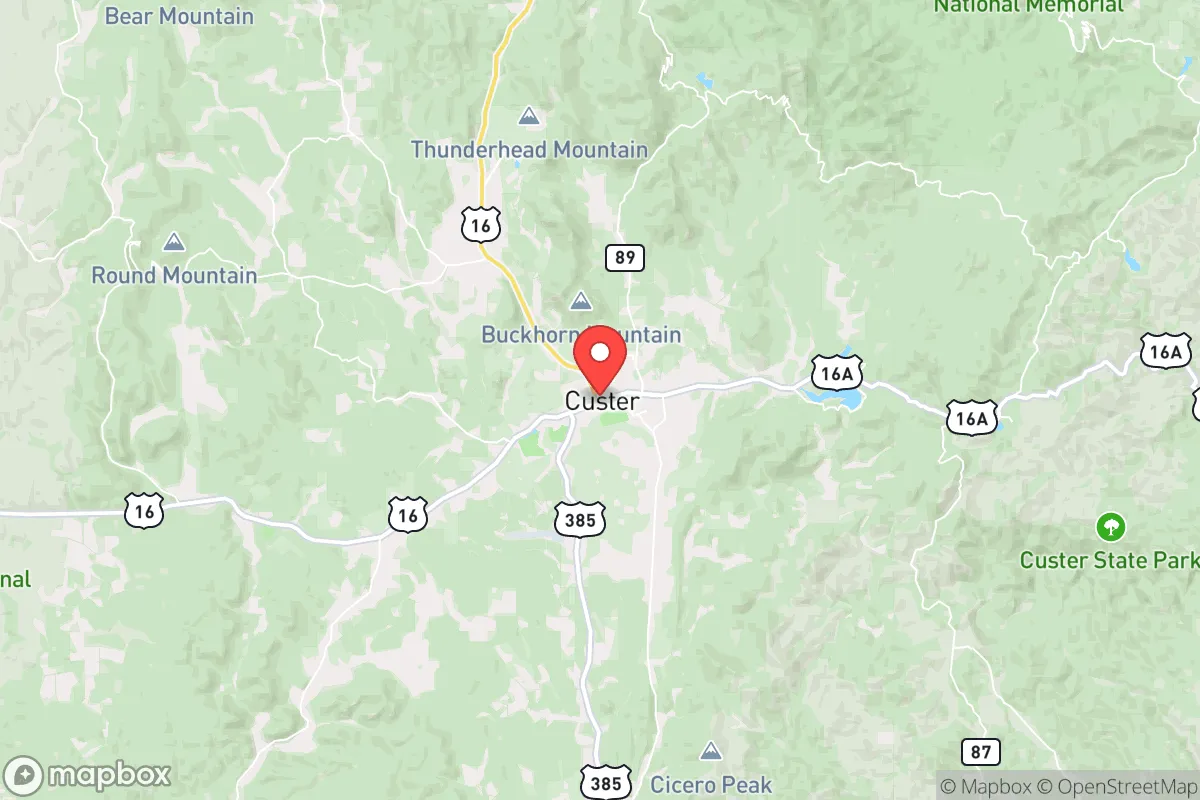
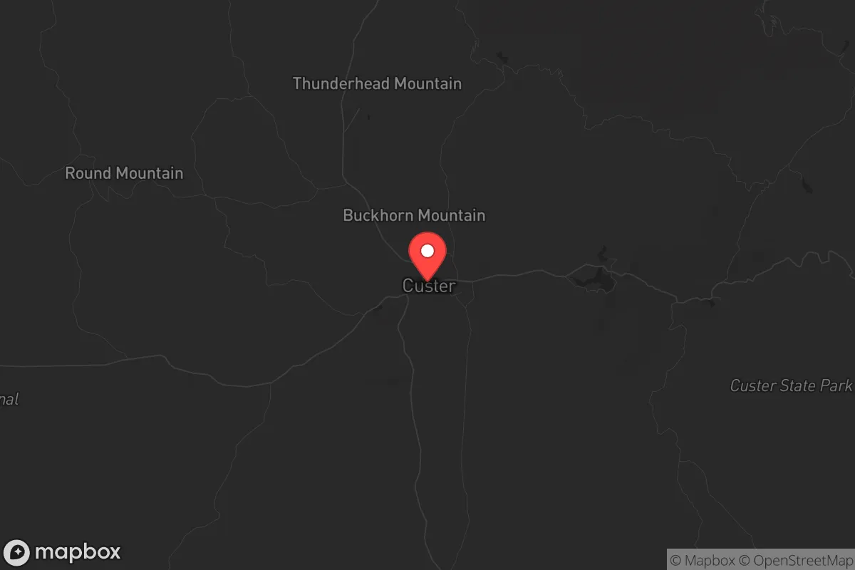
Geographic position and natural advantages for long-term security
Custer's position in the Black Hills is its primary strategic asset. The area is surrounded by the Black Hills National Forest and Custer State Park, creating a natural ring of public land that limits dense suburban sprawl and provides a buffer zone. The town sits at an elevation of roughly 5,300 feet, which offers a defensive vantage point over the surrounding plains. This high ground, combined with the rugged, forested terrain, makes the area inherently more defensible than flat, open country. The nearest city of significant size is Rapid City, about 35 miles north, which is small enough (roughly 75,000 metro population) to avoid being a primary target for large-scale civil unrest or strategic strikes, yet close enough for resupply or medical access if needed. Major metropolitan areas like Denver (400 miles) and Minneapolis (500 miles) are far enough away that fallout from a major event—whether nuclear, biological, or industrial—would be significantly diluted by distance and prevailing westerly winds. The Black Hills themselves are a geological anomaly, a forested island in the Great Plains, which means the area has its own microclimate and water resources, reducing dependence on fragile regional infrastructure.
Risks, exposures, and proximity to fallout-relevant landmarks
No location is without risk, and Custer has specific exposures a prepper must weigh. The most obvious is the proximity to Mount Rushmore and the broader Black Hills tourism economy. While this brings economic stability, it also means the area sees a seasonal influx of millions of visitors, which could become a liability during a crisis—crowds, resource strain, and potential for civil disorder in a tourist-heavy zone. The nearby Ellsworth Air Force Base, just outside Rapid City, is a dual-edged sword. It hosts B-1B Lancer bombers and is a strategic asset; in a conflict, it could be a target for sabotage or conventional strikes. However, its presence also means a military response capability is nearby, which could provide security during localized unrest. The Homestake Gold Mine in Lead, about 20 miles north, is now a research facility, but its historical significance as a deep underground facility could attract unwanted attention. More broadly, the area is not immune to natural hazards: wildfire risk is real in the dry ponderosa pine forests, and winter storms can isolate the town for days. The nearest major interstate (I-90) is 35 miles north, meaning evacuation routes are limited—a fact that cuts both ways, as it also limits the flow of refugees into the area during a crisis.
Practical resilience for a relocator: food, water, energy, and defensibility
For a relocator serious about self-sufficiency, Custer offers a strong baseline. Water is the first concern, and the area is well-positioned. The town sits near the headwaters of several creeks that feed into the Cheyenne River system, and groundwater is generally accessible via wells in the surrounding county. The Black Hills aquifer is a reliable, deep source that is less vulnerable to surface contamination than many regions. Food production is viable but requires work. The growing season is short (roughly 100-120 frost-free days), and the soil is rocky and thin in many areas, but raised beds, greenhouses, and cold frames can extend production. The surrounding national forest offers hunting (deer, elk, turkey) and foraging (mushrooms, berries, pine nuts) as a supplement. Local agriculture is limited—Custer County has only about 200 farms—so building relationships with ranchers and homesteaders in the area is a practical step for long-term food security. Energy resilience is a strong point: the Black Hills have good solar exposure (over 200 sunny days per year), and wind is consistent on the ridges. Off-grid solar with battery storage is a common setup here, and many properties have access to firewood for heating. Defensibility comes from the terrain itself. The town is nestled in a valley, but the surrounding hills provide natural chokepoints on the few roads leading in (US-16 and US-385). A small, organized community could effectively control access to the area with minimal effort. The local culture leans heavily toward self-reliance, gun ownership is common, and the sheriff's office is small but responsive—factors that align with a conservative, prepared mindset.
The overall strategic picture for a conservative relocator
Taking the long view, Custer represents a balanced option for someone who wants to be out of the blast radius of major societal collapse but not so remote that they lose all connection to modern infrastructure. The area's strengths—natural defensibility, reliable water, low population density, and a culture of independence—outweigh its weaknesses, provided you plan for wildfire, winter isolation, and the seasonal tourist surge. It is not a bug-out location for a weekend; it is a place to build a life that can withstand shocks. The proximity to Ellsworth AFB is a calculated risk, but one that many in the prepper community accept given the base's role in national defense. For a conservative individual or family looking to relocate with a strategic mindset, Custer offers a rare combination of geographic security, resource availability, and a like-minded community. The key is to arrive prepared—with skills, supplies, and a plan to integrate into the local network of ranchers, homesteaders, and small business owners who already live the resilient lifestyle you're seeking. In a world where the grid is fragile and the cities are increasingly volatile, this corner of the Black Hills holds its ground.
* Values derived from national, state, county, city and local statistics and may differ in a specific area. Last updated: 2026-05-01T05:57:08.000Z
Narrative content on this page is AI-generated and may contain mistakes. Verify any details that matter before acting on them.
ReloMaps may earn a commission from affiliate links at no extra cost to you.