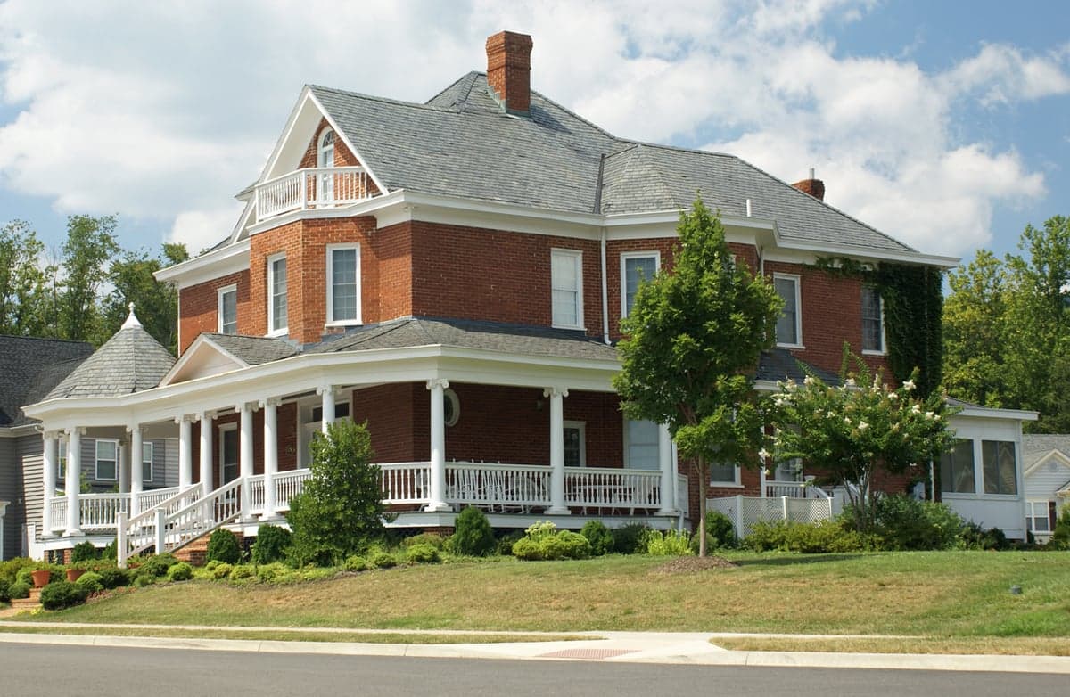
Photo: Wikipedia
Strategic Assessment of Crozet, VA
Workable tactical position. Some exposure to population density or targets, but generally defensible in a crisis.
What does the Strategic Assessment tell us?
Our Strategic Assessment grades tactical survivability of an area. Major population centers, military targets, fallout zones, natural disasters, and border exposure all drive risk — lower exposure means a more defensible position in a crisis.
This is heavily inspired by Joel Skousen's Strategic Relocation book. Highly recommended you checkout the book ($)What does this tell us?
Our Strategic Assessment grades tactical survivability of an area. Major population centers, military targets, fallout zones, natural disasters, and border exposure all drive risk — lower exposure means a more defensible position in a crisis.
This is heavily inspired by Joel Skousen's Strategic Relocation book. Highly recommended you checkout the book ($)Strategic Pillars

Key Distances
Regional Safe Places
Below is our recommended "safe zones" in Virginia and the surrounding area based on our strategic heuristics. For most people, it's unrealistic to live in a “safe zone” full-time due to work, family or other personal reasons. They tend to be more rural. However, many of these areas are perfect for second homes and retreat properties that double as a vacation home or even a short-term rental.




Important Note: For informational purposes only. This does not mean nothing bad ever happens in the green zones. Please use common sense. This is based on public data and modeled with AI. We tried to take a conservative approach but mistakes happen. We update this regularly as new information becomes available.
Solar Generator Recommendations
Backup power matters more here than in safer locations. We've picked three solar generators across budgets and capacity tiers — start with the budget unit if you only need a few essentials, or step up if you want to run a fridge and HVAC for days at a time.

Jackery Portable Power Station Explorer 300
Budget OptionPower on the Go: Weighing only 11 lbs, it's convenient to set up and store with book-sized foldable solar panels

BLUETTI Portable Power Station AC180
Designed for both indoor and outdoor scenarios, AC180 is highly capable as it has a robost capacity and continuous output power.

EF ECOFLOW DELTA Pro Ultra Power Station
Upgraded PickEcoFlow DELTA Pro Ultra is a whole-home energy system designed to grow with your family. Integrated with the Smart Home Panel 2, it scales to meet your evolving energy needs — keeping your home powered, intelligent, and secure through every stage of life.
We earn a commission, at no additional cost to you.
Strategic Assessment Analysis
Crozet, Virginia, sits in a sweet spot for a relocator who takes preparedness seriously: it’s close enough to a major metro to keep jobs and hospitals within reach, yet far enough into the Blue Ridge foothills to dodge the worst of a regional disruption. The town’s resilience story is built on geography—a mountain-ringed valley with its own water supply, working farmland, and a single primary artery that both isolates and protects it. For a single individual or family weighing self-sufficiency against convenience, Crozet offers a rare balance: rural defensibility without the logistical nightmare of a truly remote location.
Geographic position and natural advantages for long-term stability
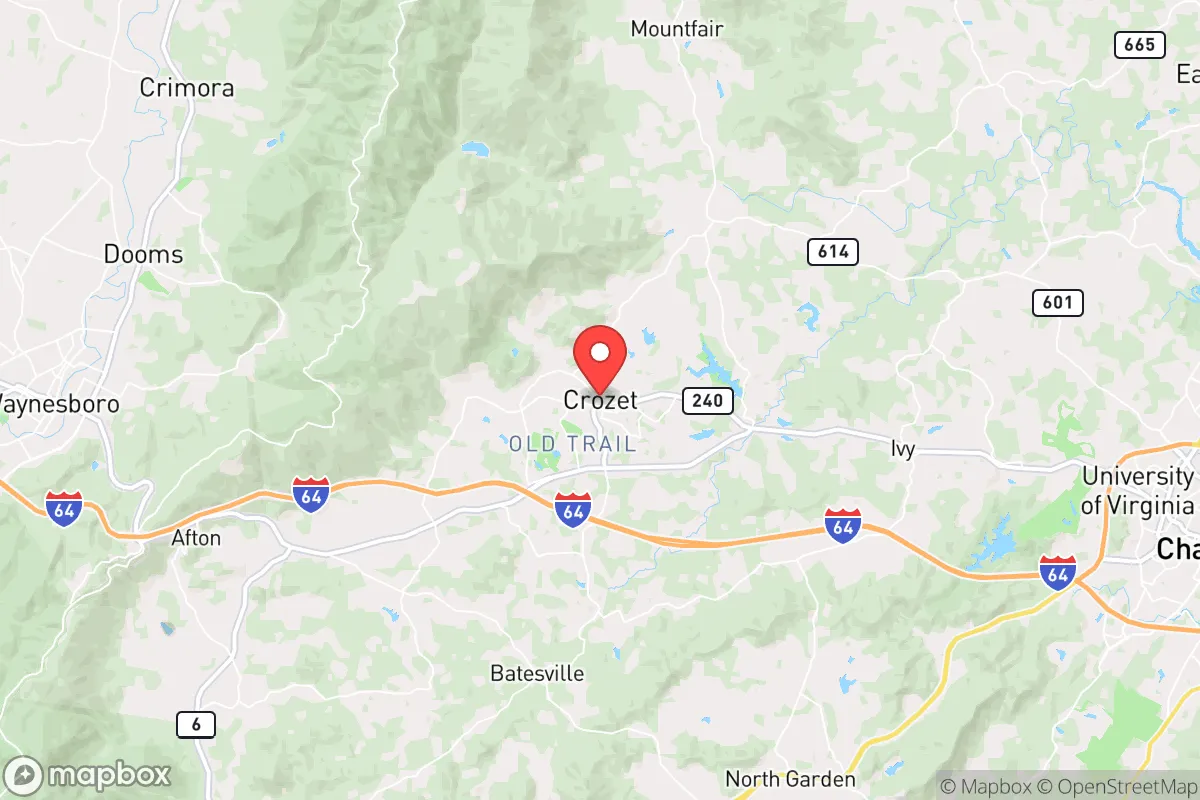
Crozet’s physical setting is its strongest card. The town sits in a broad valley between the Blue Ridge Mountains to the west and the Southwest Mountains to the east, roughly 15 miles west of Charlottesville and about 110 miles southwest of Washington, D.C. That mountain barrier is more than scenic—it filters air quality, moderates temperature extremes, and provides a natural buffer against the sprawl creeping out of Northern Virginia. The elevation, around 700 feet, keeps the climate moderate: hot summers but no extreme cold snaps, and winters that rarely drop below 20°F for long stretches.
The land itself is productive. Albemarle County, which encompasses Crozet, is among Virginia’s top agricultural counties, with orchards, vineyards, and pastureland that have been worked continuously for over two centuries. For a relocator thinking about food security, that means local produce is not a niche luxury—it’s a baseline industry. The county’s 2022 agricultural census reported over 1,300 farms, and Crozet’s own surrounding area is dense with apple orchards and vegetable operations. In a supply-chain disruption, this region would be a net food producer, not a net consumer.
Water is the other structural advantage. Crozet sits atop and beside the Mechums River watershed, with the South Fork Rivanna Reservoir just downstream and the larger Sugar Hollow Reservoir in the mountains to the west. The town’s water supply comes from a combination of wells and surface sources managed by the Albemarle County Service Authority, and the system has historically held up well even in drought years. Unlike many suburban exurbs that import water from distant aquifers, Crozet’s supply is local, gravity-fed in part, and replenished by reliable mountain rainfall averaging 45 inches annually.
Risks, exposures, and proximity to fallout-relevant landmarks
No honest resilience assessment ignores the downsides. Crozet’s primary vulnerability is its dependence on a single road: U.S. Route 250, which runs through the center of town and connects to Interstate 64 about five miles south. A bridge failure, landslide, or prolonged accident on either route would effectively isolate the town for hours, and a major regional event could cut off resupply for days. The railroad line that runs through Crozet—the Buckingham Branch, a short-line operation—is a secondary freight corridor, but it is not a practical passenger or emergency resupply option.
The bigger strategic concern is proximity to high-value targets. Crozet is 110 miles from Washington, D.C., and roughly 90 miles from Richmond, both of which are plausible priorities in a conflict scenario involving strategic strikes. The town is also within 40 miles of the North Anna Nuclear Generating Station, a two-reactor facility in Louisa County that has been operating since 1978. While the plant has a solid safety record, its presence means Crozet sits within the 50-mile emergency planning zone—a fact that matters for anyone modeling worst-case scenarios. A plume from a severe incident at North Anna would take several hours to reach the valley, which is enough time to evacuate east or west, but it is a non-zero risk that a purely coastal or inland-mountain location would avoid.
Natural hazards are comparatively mild. The region experiences occasional flash flooding in low-lying areas near the Mechums River, and the 2018 floods in nearby Nelson County are a reminder that mountain valleys can channel water quickly. Tornado risk is low, earthquake risk is minimal (the 2011 Mineral quake, centered 30 miles away, caused minor damage but no injuries in Crozet), and wildfire risk is moderate—mostly confined to dry-season brush fires on the mountain slopes. Winter ice storms are the most frequent disruption, occasionally knocking out power for 24–48 hours in the more rural fringes.
Practical resilience for a relocator: food, water, energy, and defensibility
For a relocator actually moving to Crozet, the practical question is what daily life looks like when things go sideways. Food is the easiest box to check. The town has a year-round farmers market, multiple orchards offering U-pick operations, and a growing network of CSAs (community-supported agriculture) that deliver weekly boxes from farms within a 20-mile radius. Grocery options include a well-stocked Harris Teeter and a Food Lion, but the real resilience play is the local food economy—it is not hard to source 50% or more of a family’s produce from within 15 miles, and several farms sell meat and eggs directly.
Water and energy require more planning. Municipal water is reliable, but a preparedness-minded household should assume that a multi-day power outage will also disrupt electric pumps. A 1,000-gallon cistern or rain catchment system is a reasonable investment here, given the 45 inches of annual rainfall. For energy, the grid is average—Dominion Energy serves the area, and outages are more frequent than in urban centers but less severe than in deep rural Appalachia. Solar is a strong option: the region gets about 200 sunny days per year, and Albemarle County has streamlined permitting for residential solar. A modest 5–7 kW array with battery backup would cover a typical home’s essential loads indefinitely, and several local installers operate in the area.
Defensibility is where Crozet’s geography shines. The town is ringed by low mountain passes—Browns Gap to the west, Afton Mountain to the southwest, and the narrow corridor along Route 250 to the east. In a scenario where movement is restricted, these choke points are easy to monitor and, if necessary, control. The surrounding terrain is a mix of forested slopes and open farmland, which offers both cover and visibility. For a family that wants a rural retreat without being completely off-grid, Crozet’s neighborhoods—from the historic downtown to newer developments like Old Trail—offer a range of lot sizes, with several communities on 1–5 acre parcels that allow for gardens, livestock, and private water systems.
The overall strategic picture for Crozet is favorable but not flawless. It is a location that rewards preparation: the natural resource base is strong, the geography is defensible, and the community has a genuine agricultural backbone that would hold up under stress. The main liabilities—proximity to D.C. and Richmond, the nuclear plant to the east, and the single-road dependence—are manageable with planning, but they are real. For a relocator who wants mountain-adjacent self-sufficiency with access to a major university town’s hospitals, schools, and supply chains, Crozet is one of the better-balanced options in the Mid-Atlantic. It is not a bunker location, but it is a smart one.

* Values derived from national, state, county, city and local statistics and may differ in a specific area. Last updated: 2026-10-12T03:40:49.000Z
Narrative content on this page is AI-generated and may contain mistakes. Verify any details that matter before acting on them.
ReloMaps may earn a commission from affiliate links at no extra cost to you.

