Birmingham, MI vs Bloomfield Hills, MI
Side-by-side comparison · Updated Oct 2026
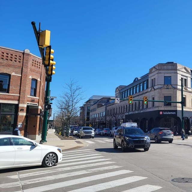
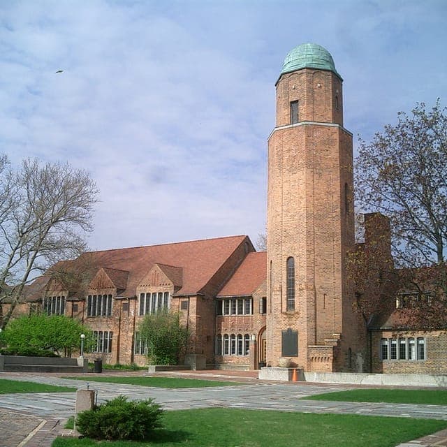
Report card
| Category | BirminghamBirmingham, MI | Bloomfield HillsBloomfield Hills, MI | Same grade |
|---|---|---|---|
| ReloScoreOverall grade | Same | ||
| Affluence | Good | Great | |
| Cost of Living | |||
| Crime | Very Safe | Very Safe | Same |
| Education | Same | ||
| Quality of Life | Great | Great | Same |
| Sovereignty | High Autonomy | High Autonomy | Same |
| Strategic | Vulnerable | Vulnerable |
Grades rate each place against all US places. How grades work →
Comparison summary

At 2.3 people per household, Birmingham, MI and Bloomfield Hills, MI show a 13% difference in average household size, with Bloomfield Hills at 2.6. 2023 Census figures also reveal that Birmingham's population of 21,612 is 4.9 times larger than Bloomfield Hills' 4,412, and its population density of 4,509 per square mile is 5.1 times higher, placing Birmingham in the 90th percentile and Bloomfield Hills in the 23rd. The median age in Bloomfield Hills is 49, 7.9 years older than Birmingham's 41.1, ranking in the 92nd percentile versus the 72nd.
Property crime per 100,000 people stands at 820 in Birmingham and 540 in Bloomfield Hills, a 52% higher rate for Birmingham, which falls in the 24th percentile compared to Bloomfield Hills' 12th. Violent crime per 100,000 is 31 in Birmingham and 23 in Bloomfield Hills, a 40% higher rate, with both cities receiving an A+ grade for crime and safety. Median rent in Bloomfield Hills is $3,250, 72% higher than Birmingham's $1,891, placing Bloomfield Hills in the 99th percentile. The average commute in Bloomfield Hills is 24.4 minutes, 4 minutes longer than Birmingham's 20.3 minutes, ranking in the 57th percentile versus the 29th.
AI-generated and may contain mistakes. Verify any details that matter before acting on them. Generated Oct 2026.
Looking at homes in Birmingham or Bloomfield Hills?
Get a property report for a specific address.
Free account required. Your first report is free.
Where they differ most
Cost of living
| Metric | Birmingham, MI | Bloomfield Hills, MI | Difference |
|---|---|---|---|
| COL indexCost of living index (100 = US) | 19991st pctl | 30197th pctl | Cost of living index (100 = US): Birmingham, MI 199; Bloomfield Hills, MI 301; Bloomfield Hills is 51% higher. |
| Home valueMedian home value | $712,70092nd pctl | $942,90095th pctl | Median home value: Birmingham, MI $712,700; Bloomfield Hills, MI $942,900; Bloomfield Hills is 32% higher. |
| Median rent | $1,89188th pctl | $3,25099th pctl | Median rent: Birmingham, MI $1,891; Bloomfield Hills, MI $3,250; Bloomfield Hills is 72% higher. |
| Household incomeMedian household income | $153,12595th pctl | $200,31898th pctl | Median household income: Birmingham, MI $153,125; Bloomfield Hills, MI $200,318; Bloomfield Hills is 31% higher. |
| Comfortable (single)Comfortable income (single) | $138,46594th pctl | $183,18996th pctl | Comfortable income (single): Birmingham, MI $138,465; Bloomfield Hills, MI $183,189; Bloomfield Hills is 32% higher. |
| Comfortable (family)Comfortable income (family of 4) | $203,54494th pctl | $269,28896th pctl | Comfortable income (family of 4): Birmingham, MI $203,544; Bloomfield Hills, MI $269,288; Bloomfield Hills is 32% higher. |
| AffordabilityHousing affordability | Stretched | Stretched | About the same |
Housing-adjusted salary
the same housing budget in Bloomfield Hills needs about
$113,400
Based only on local housing costs and incomes (cost-of-living index 199 vs 301). Leaves out taxes, groceries and transport. How it works →
Data: U.S. Census ACS 5-year, ReloMaps cost-of-living index (2023–2024).
Jobs & income
| Metric | Birmingham, MI | Bloomfield Hills, MI | Difference |
|---|---|---|---|
| Unemployment | 3.6%48th pctl | 3.6%48th pctl | About the same |
| Job growthJob growth (YoY) | -0.3%15th pctl | -0.3%15th pctl | About the same |
| Per-capita income | $104,41296th pctl | $128,82998th pctl | Per-capita income: Birmingham, MI $104,412; Bloomfield Hills, MI $128,829; Bloomfield Hills is 23% higher. |
| Poverty rate | 4.9%12th pctl | 3.6%7th pctl | Poverty rate: Birmingham, MI 4.9%; Bloomfield Hills, MI 3.6%; Birmingham is 1.3 points higher. |
| CommuteAverage commute | 20.3 min29th pctl | 24.4 min57th pctl | Average commute: Birmingham, MI 20.3 min; Bloomfield Hills, MI 24.4 min; Bloomfield Hills is 4 minutes longer. |
| Work from home | 25.1%91st pctl | 17.4%77th pctl | Work from home: Birmingham, MI 25.1%; Bloomfield Hills, MI 17.4%; Birmingham is 7.7 points higher. |
| OpportunityEconomic opportunity | Strong | Strong | About the same |
| Job market | Strong | Strong | About the same |
Data: U.S. Census ACS 5-year, BLS (2023).
Safety
| Metric | Birmingham, MI | Bloomfield Hills, MI | Difference |
|---|---|---|---|
| Violent crimeViolent crime per 100k | 315th pctl | 234th pctl | Violent crime per 100k: Birmingham, MI 31; Bloomfield Hills, MI 23; Birmingham is 40% higher. |
| Property crimeProperty crime per 100k | 82024th pctl | 54012th pctl | Property crime per 100k: Birmingham, MI 820; Bloomfield Hills, MI 540; Birmingham is 52% higher. |
| 5-yr trendViolent crime, 5-yr trend | Falling | Falling | |
| Crime & safety | Very Safe | Very Safe | About the same |
| Traffic safety | Very SafeCounty figure. County-level figure: measured for the surrounding county. | Very SafeCounty figure. County-level figure: measured for the surrounding county. | About the same |
Data: FBI Crime Data, NHTSA FARS (2025).
Quality of life
| Metric | Birmingham, MI | Bloomfield Hills, MI | Difference |
|---|---|---|---|
| Air quality | GreatCounty figure. County-level figure: measured for the surrounding county. | GreatCounty figure. County-level figure: measured for the surrounding county. | About the same |
| ClimateClimate comfort | Dry | Dry | About the same |
| HealthcareHealthcare access | ExcellentCounty figure. County-level figure: measured for the surrounding county. | ExcellentCounty figure. County-level figure: measured for the surrounding county. | About the same |
| Tap water | Clean | Clean | About the same |
| Power grid | ReliableState figure. State-level figure: the local figure isn't published. | ReliableState figure. State-level figure: the local figure isn't published. | About the same |
| HomesteadingHomesteading potential | Prime | Prime | About the same |
| Disaster riskNational disaster risk | High-Risk | High-Risk | About the same |
3 rows not shown: broadband and local food access aren't available for either place; walkability isn't available for Bloomfield Hills, MI.
Data: EPA AirData, NOAA NCEI, County Health Rankings, FCC, Geoapify POIs, EPA SDWIS, EIA, OpenStreetMap, FEMA National Risk Index (2022–2024).
Taxes & laws
Both are in Michigan, so state taxes and state laws (homeschooling, firearms, property rights) are the same. See Michigan →
Strategic location
How exposed each place is to large-scale disruption, based on distance from big cities, likely targets and natural hazards.
| Metric | Birmingham, MI | Bloomfield Hills, MI | Difference |
|---|---|---|---|
| Large cityNearest large city | 17 mi22nd pctl | 20 mi26th pctl | Nearest large city: Birmingham, MI 17 mi; Bloomfield Hills, MI 20 mi; Bloomfield Hills is 16% higher. |
| Target proximity | Fair | Good | About the same |
| To borderDistance to international border | 50 mi4th pctl | 50 mi4th pctl | About the same |
| To coastDistance to coastline | 485 mi69th pctl | 487 mi69th pctl | About the same |
| StrategicStrategic location | Vulnerable | Vulnerable | About the same |
Data: ReloMaps strategic assessment.
People
| Metric | Birmingham, MI | Bloomfield Hills, MI | Difference |
|---|---|---|---|
| Population | 21,61248th pctl | 4,41218th pctl | Population: Birmingham, MI 21,612; Bloomfield Hills, MI 4,412; Birmingham is 4.9 times larger. |
| DensityPopulation density (per sq mi) | 4,50990th pctl | 89023rd pctl | Population density (per sq mi): Birmingham, MI 4,509; Bloomfield Hills, MI 890; Birmingham is 5.1 times higher. |
| Median age | 41.172nd pctl | 4992nd pctl | Median age: Birmingham, MI 41.1; Bloomfield Hills, MI 49; Bloomfield Hills is 7.9 years older. |
| Bachelor's+Bachelor's degree or higher | 76.9%97th pctl | 79.3%98th pctl | Bachelor's degree or higher: Birmingham, MI 76.9%; Bloomfield Hills, MI 79.3%; Bloomfield Hills is 2.4 points higher. |
| Household sizeAverage household size | 2.334th pctl | 2.669th pctl | Average household size: Birmingham, MI 2.3; Bloomfield Hills, MI 2.6; Bloomfield Hills is 13% larger. |
More about Birmingham's residents · Bloomfield Hills's residents
Data: U.S. Census ACS 5-year (2023).
Politics
Information only. Not part of any grade, difference or summary on this page.
| Measure | BirminghamBirmingham, MI | Bloomfield HillsBloomfield Hills, MI |
|---|---|---|
| Cook PVI | D+9 | D+9 |
| 2024 presidential | D +16.0 pts | D +16.0 pts |
Full politics data: Birmingham · Bloomfield Hills
Moving between Birmingham and Bloomfield Hills
- Median rent: $1,891 in Birmingham, $3,250 in Bloomfield Hills
- Median home value: $712,700 in Birmingham, $942,900 in Bloomfield Hills
- Cost of living index (100 = US): 199 in Birmingham, 301 in Bloomfield Hills
- Median household income: $153,125 in Birmingham, $200,318 in Bloomfield Hills
- Comfortable income (family of 4): $203,544 in Birmingham, $269,288 in Bloomfield Hills
- Unemployment: 3.6% in Birmingham, 3.6% in Bloomfield Hills
- Average commute: 20.3 min in Birmingham, 24.4 min in Bloomfield Hills
- Violent crime per 100k: 31 in Birmingham, 23 in Bloomfield Hills
Weigh these by what matters to you
ReloMaps in ChatGPT can look at Birmingham and Bloomfield Hills against your own priorities, like budget, commute or climate.
Use ReloMaps in ChatGPT →Found a home in Birmingham or Bloomfield Hills?
A property report covers the address itself: the block, the neighbourhood data, risks and more, beyond these city-wide figures.
Free account required. Your first report is free.
Compare a different pair
More places like Birmingham and Bloomfield Hills
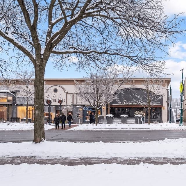

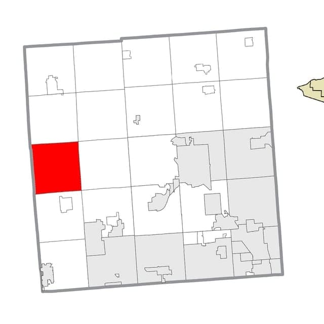
- Data: Cost of living: U.S. Census ACS 5-year, ReloMaps cost-of-living index (2023–2024).
- Data: Jobs & income: U.S. Census ACS 5-year, BLS (2023).
- Data: Safety: FBI Crime Data, NHTSA FARS (2025).
- Data: Quality of life: EPA AirData, NOAA NCEI, County Health Rankings, FCC, Geoapify POIs, EPA SDWIS, EIA, OpenStreetMap, FEMA National Risk Index (2022–2024).
- Data: Strategic location: ReloMaps strategic assessment.
- Data: People: U.S. Census ACS 5-year (2023).
* Values derived from national, state, county, city and local statistics and may differ in a specific area.
Narrative content on this page is AI-generated and may contain mistakes. Verify any details that matter before acting on them.
ReloMaps may earn a commission from affiliate links at no extra cost to you.