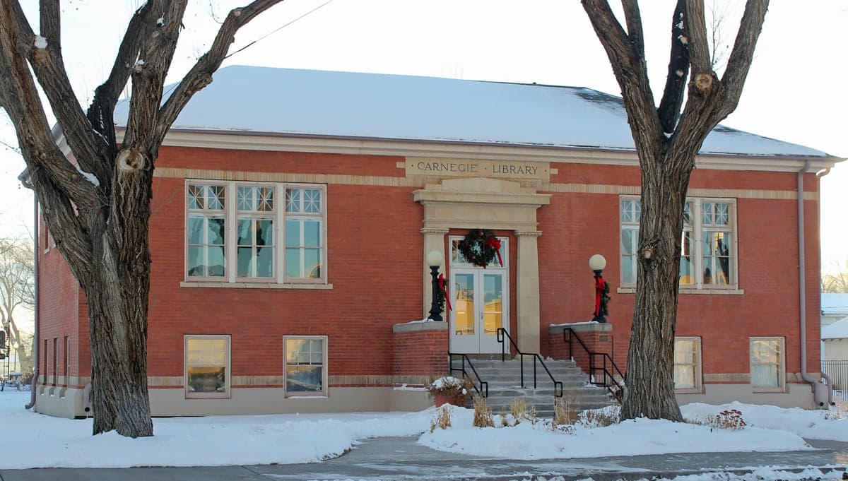
Photo: Wikipedia
Strategic Assessment of Rio Grande County
Strong survivability profile. Good buffer from population centers, with manageable environmental and tactical risks.
What does the Strategic Assessment tell us?
Our Strategic Assessment grades tactical survivability of an area. Major population centers, military targets, fallout zones, natural disasters, and border exposure all drive risk — lower exposure means a more defensible position in a crisis.
This is heavily inspired by Joel Skousen's Strategic Relocation book. Highly recommended you checkout the book ($)What does this tell us?
Our Strategic Assessment grades tactical survivability of an area. Major population centers, military targets, fallout zones, natural disasters, and border exposure all drive risk — lower exposure means a more defensible position in a crisis.
This is heavily inspired by Joel Skousen's Strategic Relocation book. Highly recommended you checkout the book ($)Strategic Pillars

Key Distances
Strategic Assessment Analysis
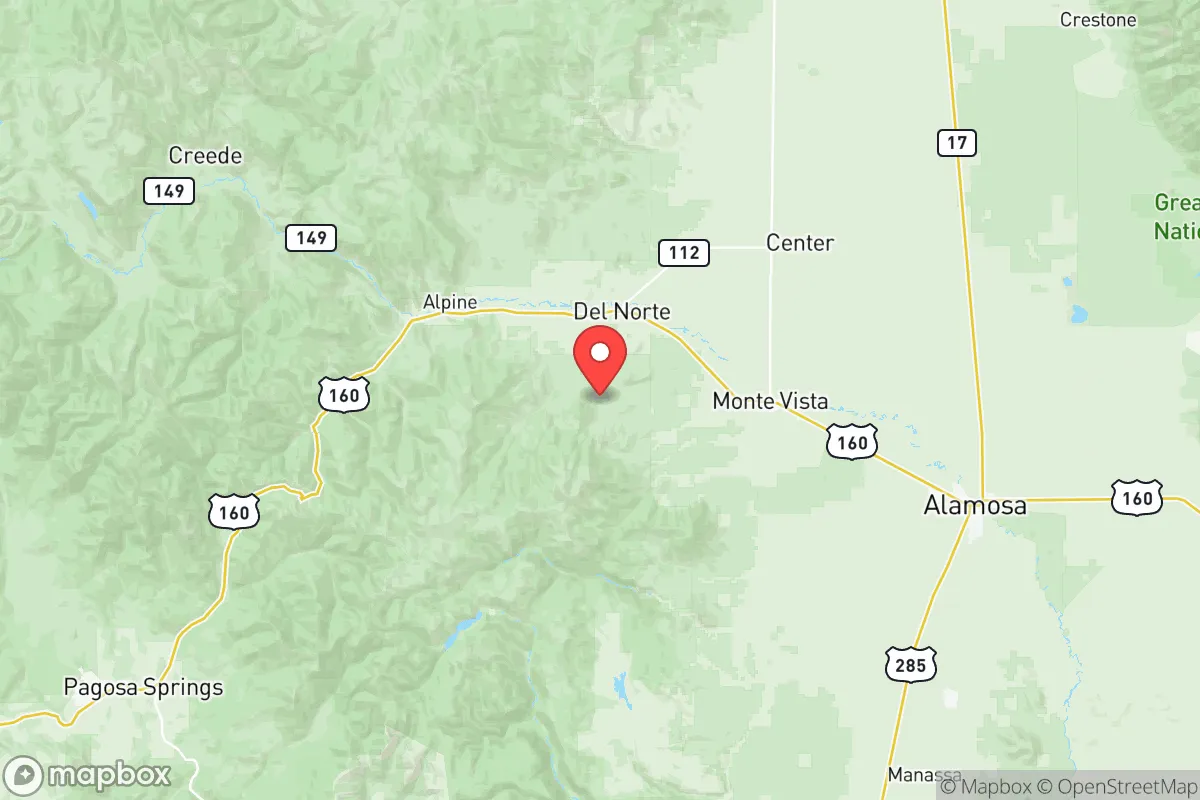
Rio Grande County, Colorado, offers a compelling strategic location for those prioritizing self-reliance and distance from urban vulnerability. Nestled in the San Luis Valley, the county is anchored by the towns of Del Norte and Monte Vista, with South Fork to the west. Its combination of high-altitude remoteness, abundant water from the Rio Grande, and low population density creates a baseline resilience that is increasingly hard to find in the Lower 48. For a relocator thinking in terms of decades, not headlines, this area presents a foundation worth serious evaluation.
Geographic position and natural advantages for long-term stability
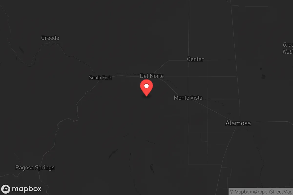
Rio Grande County sits at the intersection of the San Juan Mountains to the west and the vast, high-desert San Luis Valley to the east. This geography provides natural buffers: the mountains limit easy access from the west, while the valley floor offers open agricultural land for food production. The Rio Grande River runs through the heart of the county, supplying consistent surface water for irrigation and domestic use – a critical advantage in any scenario involving supply chain disruption. The area is far removed from any major metropolitan center. Denver is roughly 230 miles northeast, Albuquerque about 220 miles south. That distance translates into a low likelihood of cascading urban unrest reaching the valley. Surrounding communities like Alamosa (Alamosa County) and Center (Saguache County) are small and similarly rural, creating a regional bubble of low population density. The elevation (7,500–8,000 feet) also discourages casual migration and reduces the spread of airborne pathogens – a subtle but real factor in pandemic resilience.
Risks, exposures, and proximity to fallout-relevant landmarks
No region is without exposure, and Rio Grande County’s risk profile is dominated by distance rather than proximity. The nearest high-value military or industrial targets are the Air Force bases and nuclear facilities around Colorado Springs (Cheyenne Mountain, Peterson SFB, Schriever SFB), roughly 200 miles northeast. The Denver metropolitan area, including the former Rocky Flats environmental legacy site, is another 200-plus miles away. For context, prevailing weather patterns in the Rockies generally move west to east, meaning airborne fallout from a strike on those targets would push away from the San Luis Valley. The county also lacks any major refineries, ports, or rail hubs that would attract strategic attack. The more immediate risks are natural: wildfire in the mountain fringe (especially around South Fork and the Rio Grande National Forest), winter blizzards that can cut road access for days, and the occasional drought year that stresses agriculture. The South Fork area was heavily impacted by the 2013 West Fork Complex fire, a reminder that defensibility requires fire mitigation. The logistical vulnerability lies in the fact that supplies and specialized medical care rely on the US 160/285 corridors; a major bridge failure or long-term road closure could isolate the county. But for a prepper, that isolation is more asset than liability.
Practical resilience for a relocator: water, food, energy, and defensibility
Water is the single most critical resource for long-term survival, and Rio Grande County is one of the few places in the arid West where surface water rights are relatively abundant. The Rio Grande itself, fed by snowpack in the San Juans, provides irrigation for alfalfa, potatoes, and small grains grown around Monte Vista and Del Norte. Groundwater from the deep San Luis Valley aquifer is also accessible, though subject to complex state water law. A relocator with property along the river or with irrigated land can realistically achieve food self-sufficiency. The growing season is short (roughly 90 days) but productive for cold-hardy crops – think potatoes, beets, and root vegetables that store well. Energy is less straightforward: no natural gas lines serve the county outside towns, so heating relies on propane, wood, or electric. Solar potential is excellent – over 300 sunny days per year – and off-grid solar systems with battery backup are common among rural properties. Defensibility comes from the geography itself. The valley floor offers open sightlines, and the mountainous west (around South Fork and the Rio Grande headwaters) provides choke points on US 160 and CO 149. A well-placed property in the hills between Del Norte and South Fork would command views of the only major approaches. That said, the culture in the county leans heavily toward cooperation over confrontation; neighbors know each other, and law enforcement is present but thin. A prepper should plan to invest in good relationships as the first layer of security.
The overall strategic picture for Rio Grande County is one of quiet advantage. It lacks the flashy preparedness infrastructure of some Idaho or Montana destinations, but it compensates with reliable water, a moderate climate for the Rockies, and genuine isolation from national vulnerabilities. The towns of Del Norte and Monte Vista are functional but small – don’t expect specialty gear or medical specialists. What you get is a stable, low-key agricultural community with a deep conservative culture, minimal crime, and a population that largely shares the same instinct toward self-reliance. For a single individual or a family willing to put in the work on soil, winter preparation, and community integration, this corner of Colorado holds up as a realistic long-term base. It’s not a retreat for the impatient, but it is a place where resilience can be built instead of bought.
* Values derived from national, state, county, city and local statistics and may differ in a specific area. Last updated: 2026-06-01T12:35:59.000Z
Narrative content on this page is AI-generated and may contain mistakes. Verify any details that matter before acting on them.
ReloMaps may earn a commission from affiliate links at no extra cost to you.