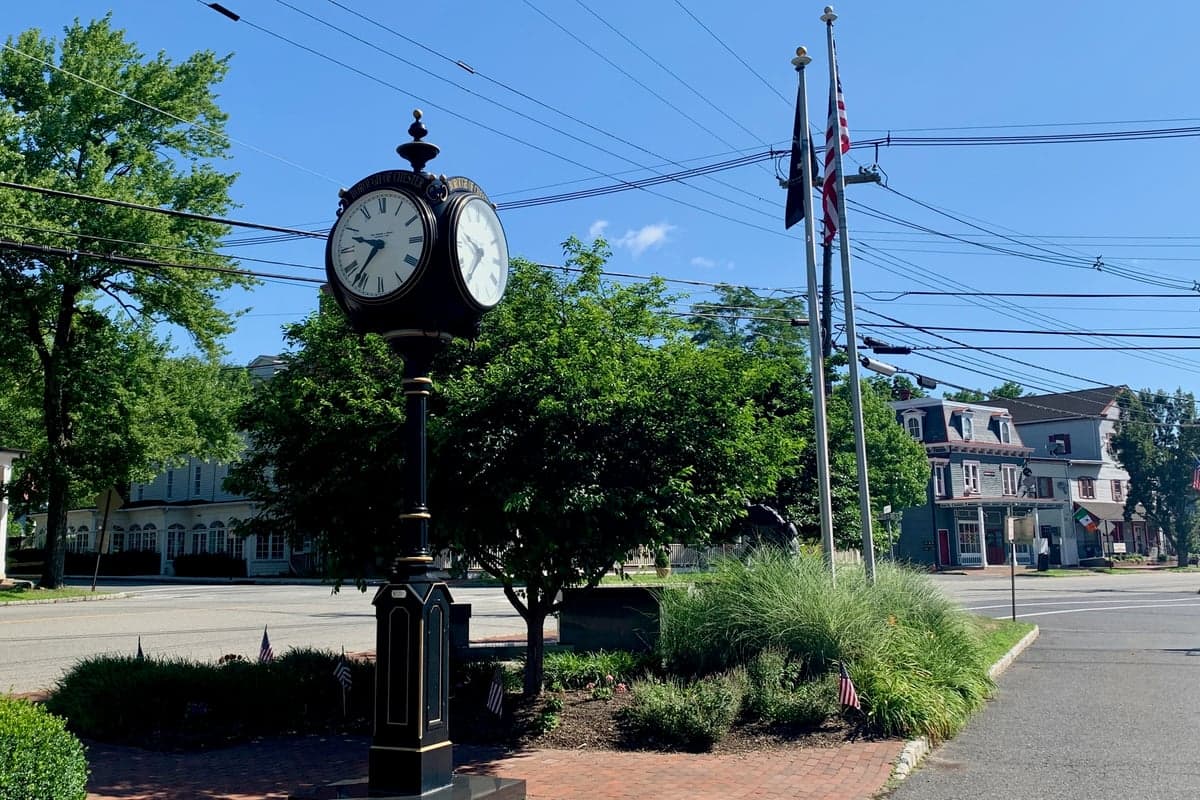
Photo: Wikipedia
Strategic Assessment of Chester, NJ
Multiple tactical vulnerabilities. Population density, target proximity, or disaster risk are likely compounding. A retreat property and exit planning is required.
What does the Strategic Assessment tell us?
Our Strategic Assessment grades tactical survivability of an area. Major population centers, military targets, fallout zones, natural disasters, and border exposure all drive risk — lower exposure means a more defensible position in a crisis.
This is heavily inspired by Joel Skousen's Strategic Relocation book. Highly recommended you checkout the book ($)What does this tell us?
Our Strategic Assessment grades tactical survivability of an area. Major population centers, military targets, fallout zones, natural disasters, and border exposure all drive risk — lower exposure means a more defensible position in a crisis.
This is heavily inspired by Joel Skousen's Strategic Relocation book. Highly recommended you checkout the book ($)Strategic Pillars

Key Distances
Regional Safe Places
Below is our recommended "safe zones" in New Jersey and the surrounding area based on our strategic heuristics. For most people, it's unrealistic to live in a “safe zone” full-time due to work, family or other personal reasons. They tend to be more rural. However, many of these areas are perfect for second homes and retreat properties that double as a vacation home or even a short-term rental.




Important Note: For informational purposes only. This does not mean nothing bad ever happens in the green zones. Please use common sense. This is based on public data and modeled with AI. We tried to take a conservative approach but mistakes happen. We update this regularly as new information becomes available.
Solar Generator Recommendations
Backup power matters more here than in safer locations. We've picked three solar generators across budgets and capacity tiers — start with the budget unit if you only need a few essentials, or step up if you want to run a fridge and HVAC for days at a time.

Jackery Portable Power Station Explorer 300
Budget OptionPower on the Go: Weighing only 11 lbs, it's convenient to set up and store with book-sized foldable solar panels

BLUETTI Portable Power Station AC180
Designed for both indoor and outdoor scenarios, AC180 is highly capable as it has a robost capacity and continuous output power.

EF ECOFLOW DELTA Pro Ultra Power Station
Upgraded PickEcoFlow DELTA Pro Ultra is a whole-home energy system designed to grow with your family. Integrated with the Smart Home Panel 2, it scales to meet your evolving energy needs — keeping your home powered, intelligent, and secure through every stage of life.
We earn a commission, at no additional cost to you.
Strategic Assessment Analysis
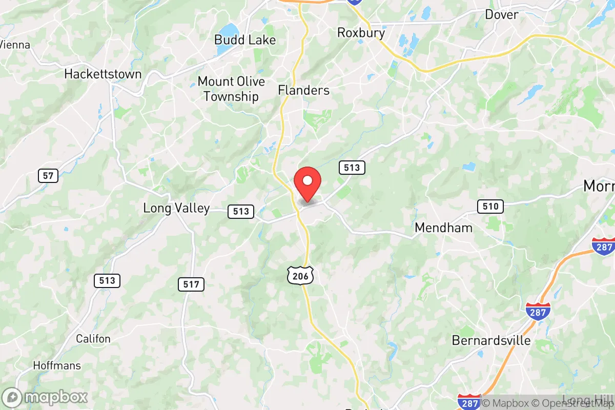
Chester, New Jersey, offers a compelling mix of strategic depth and practical vulnerability for the disaster-conscious relocator. Nestled in Morris County's western hills, it sits far enough from New York City (roughly 40 miles) and Newark (30 miles) to avoid the worst of a metropolitan collapse or fallout plume, yet close enough to be affected by regional supply chain disruptions and population displacement. The area's resilience is anchored in its topography—rolling hills, dense woodlands, and a low-density population—but its proximity to major infrastructure and political targets demands a sober, grounded assessment.
Geographic position and natural advantages for long-term stability
Chester's location in the New Jersey Highlands provides several inherent advantages. The region's elevation—averaging 800 to 1,000 feet above sea level—reduces flood risk compared to the low-lying areas of central and coastal New Jersey. The surrounding Black River and Raritan River headwaters offer reliable freshwater sources, though access depends on property-specific wells and surface rights. The area's forest cover (roughly 60% of Morris County is wooded) provides natural camouflage, thermal insulation, and a resource base for firewood and construction materials. The local geology, dominated by gneiss and granite, supports stable foundations for underground shelters and root cellars. Chester's low population density—about 1,200 people per square mile in the township, versus 12,000 in nearby Newark—means less competition for resources during a crisis. The town's historic character, with its preserved village center and agricultural zoning, also means many properties have existing wells, septic systems, and garden space, which are critical for self-sufficiency.
Risks, exposures, and proximity to fallout-relevant landmarks
The most significant risk for Chester is its position within the broader New York metropolitan area's "shadow." While not a primary target, the town lies within 50 miles of several high-value military and industrial sites: Picatinny Arsenal (a major Army weapons research and manufacturing hub) is just 12 miles east, and the Port of Newark/Elizabeth (a critical logistics node) is 30 miles southeast. In a nuclear exchange scenario, prevailing westerly winds would carry fallout from a strike on New York City directly over Chester, with a potential arrival time of 4-6 hours. The town's hilly terrain could create localized fallout "hot spots" in valleys, but the forest canopy would provide some attenuation. Natural disaster risks are moderate: the area is in FEMA's Zone X (minimal flood risk) for most properties, though flash flooding occurs along the Black River during heavy rains. Winter storms are the most frequent hazard, with Nor'easters dropping 40-60 inches of snow annually, which can isolate the town for 2-3 days. Wildfire risk is low but not zero—the surrounding forests are deciduous, not the high-fuel pine barrens of southern Jersey. Earthquakes are rare and minor. The town's evacuation routes are limited: Route 206 and I-287 are the primary arteries, both prone to congestion during emergencies. A major concern is the potential for population displacement from New York City and Newark—Chester's population could swell by 50-100% in a crisis, straining local resources and creating security challenges.
Practical resilience for a relocator: food, water, energy, and defensibility
For a relocator serious about self-sufficiency, Chester offers a strong baseline but requires deliberate preparation. Water is the strongest asset: most homes in the township rely on private wells drawing from the Brunswick aquifer, which has a reliable yield of 10-20 gallons per minute. Surface water from the Black River and its tributaries is accessible but requires filtration for giardia and agricultural runoff. Food security is moderate. The surrounding Morris County farmland produces hay, corn, and some vegetables, but the area is not a major grain or protein producer. Local farms like Alstede Farms and Ort Farms offer seasonal produce and eggs, but year-round food storage requires a well-stocked pantry and a root cellar. Hunting is permitted on public lands (Black River Wildlife Management Area, 10 miles south) for deer and turkey, but small game is limited. Energy is a vulnerability. The grid is served by Jersey Central Power & Light, which has a mixed reliability record—outages from storms typically last 12-48 hours. Solar potential is good (4.5 peak sun hours per day), but many homes are shaded by mature trees. Wood heating is viable, with local firewood available for $200-300 per cord. Propane is widely used for cooking and heating, but bulk delivery depends on road access. Defensibility is the weakest link. Chester's open village center and scattered suburban subdivisions make it hard to secure a perimeter. The town's police force is small (about 15 officers), and response times in the outer rural areas can exceed 15 minutes. The best strategy is a "hardened homestead" approach: a property with a long driveway, natural tree cover, and a basement or underground shelter. The community's social fabric is a double-edged sword—neighbors are generally helpful but also talkative, and a newcomer stockpiling supplies will attract attention. A low-profile, "gray man" approach is advisable.
Overall, Chester presents a balanced strategic picture for the disaster-conscious relocator. Its geographic isolation from primary targets, reliable water, and moderate food potential make it a viable base for a prepared individual or family. However, the risks of fallout drift, population displacement, and limited defensibility mean that passive reliance on the area's natural advantages is not enough. The town's resilience is ultimately a function of personal preparation: a well-drilled family with a year's worth of stored food, a backup power system, and a plan for self-defense can thrive here. For those willing to invest in hardening their property and building local relationships, Chester offers a defensible, resource-rich foothold in a region that would otherwise be a liability. The key is to treat the area as a strategic outpost, not a sanctuary—and to act accordingly before the crisis arrives.

* Values derived from national, state, county, city and local statistics and may differ in a specific area. Last updated: 2026-09-29T21:23:46.000Z
Narrative content on this page is AI-generated and may contain mistakes. Verify any details that matter before acting on them.
ReloMaps may earn a commission from affiliate links at no extra cost to you.

