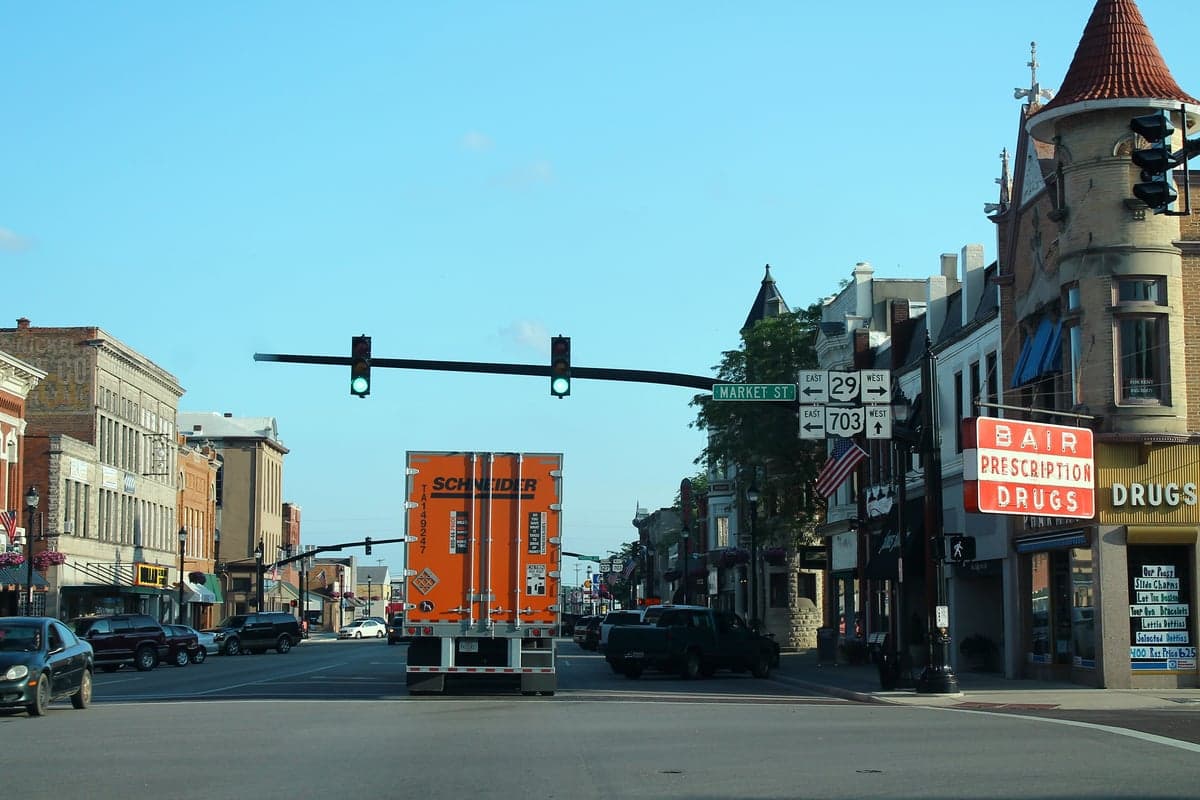
Photo: Wikipedia
Strategic Assessment of Celina, OH
Workable tactical position. Some exposure to population density or targets, but generally defensible in a crisis.
What does the Strategic Assessment tell us?
Our Strategic Assessment grades tactical survivability of an area. Major population centers, military targets, fallout zones, natural disasters, and border exposure all drive risk — lower exposure means a more defensible position in a crisis.
This is heavily inspired by Joel Skousen's Strategic Relocation book. Highly recommended you checkout the book ($)What does this tell us?
Our Strategic Assessment grades tactical survivability of an area. Major population centers, military targets, fallout zones, natural disasters, and border exposure all drive risk — lower exposure means a more defensible position in a crisis.
This is heavily inspired by Joel Skousen's Strategic Relocation book. Highly recommended you checkout the book ($)Strategic Pillars

Key Distances
Regional Safe Places
Below is our recommended "safe zones" in Ohio and the surrounding area based on our strategic heuristics. For most people, it's unrealistic to live in a “safe zone” full-time due to work, family or other personal reasons. They tend to be more rural. However, many of these areas are perfect for second homes and retreat properties that double as a vacation home or even a short-term rental.

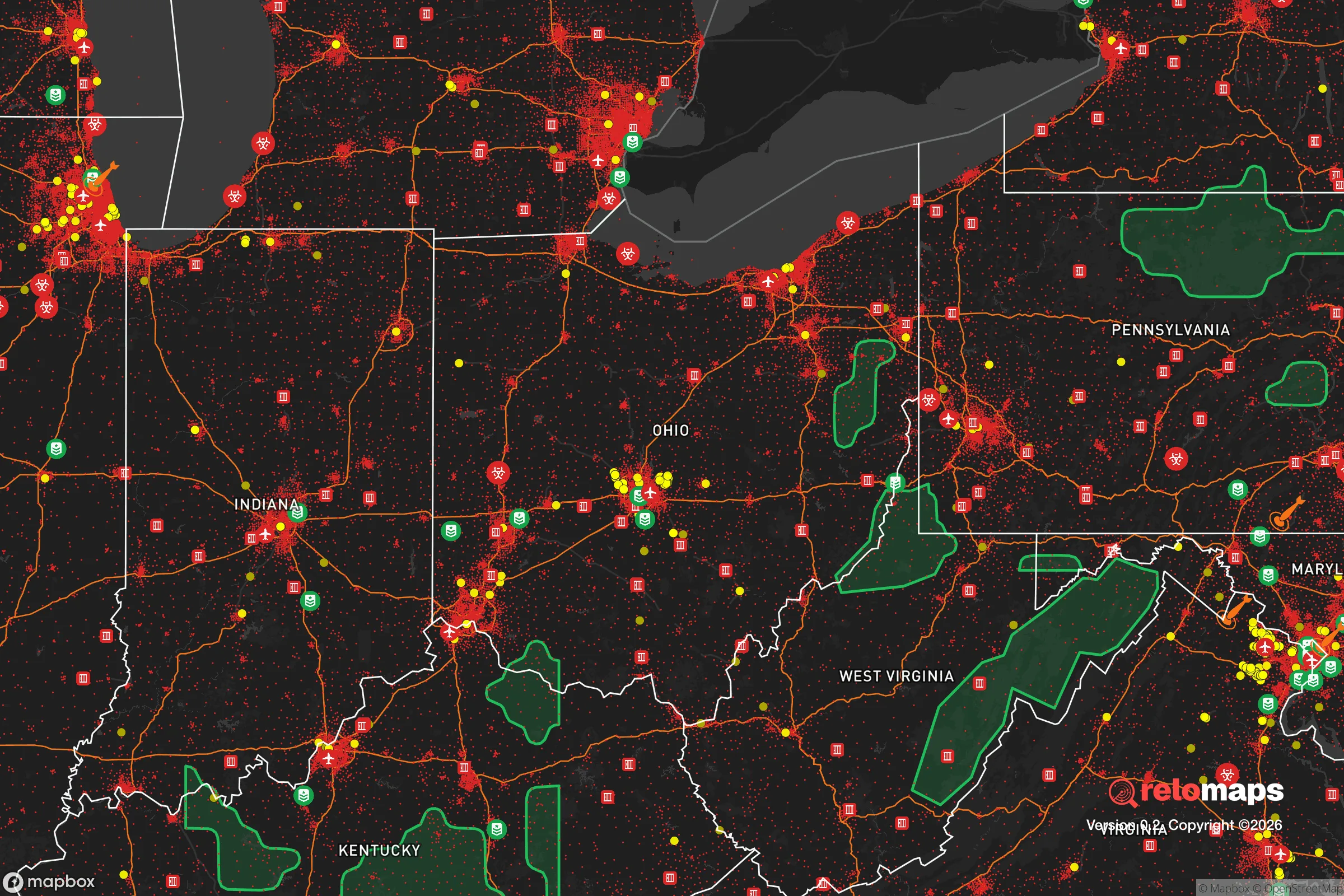


Important Note: For informational purposes only. This does not mean nothing bad ever happens in the green zones. Please use common sense. This is based on public data and modeled with AI. We tried to take a conservative approach but mistakes happen. We update this regularly as new information becomes available.
Solar Generator Recommendations
Backup power matters more here than in safer locations. We've picked three solar generators across budgets and capacity tiers — start with the budget unit if you only need a few essentials, or step up if you want to run a fridge and HVAC for days at a time.

Jackery Portable Power Station Explorer 300
Budget OptionPower on the Go: Weighing only 11 lbs, it's convenient to set up and store with book-sized foldable solar panels

BLUETTI Portable Power Station AC180
Designed for both indoor and outdoor scenarios, AC180 is highly capable as it has a robost capacity and continuous output power.

EF ECOFLOW DELTA Pro Ultra Power Station
Upgraded PickEcoFlow DELTA Pro Ultra is a whole-home energy system designed to grow with your family. Integrated with the Smart Home Panel 2, it scales to meet your evolving energy needs — keeping your home powered, intelligent, and secure through every stage of life.
We earn a commission, at no additional cost to you.
Strategic Assessment Analysis
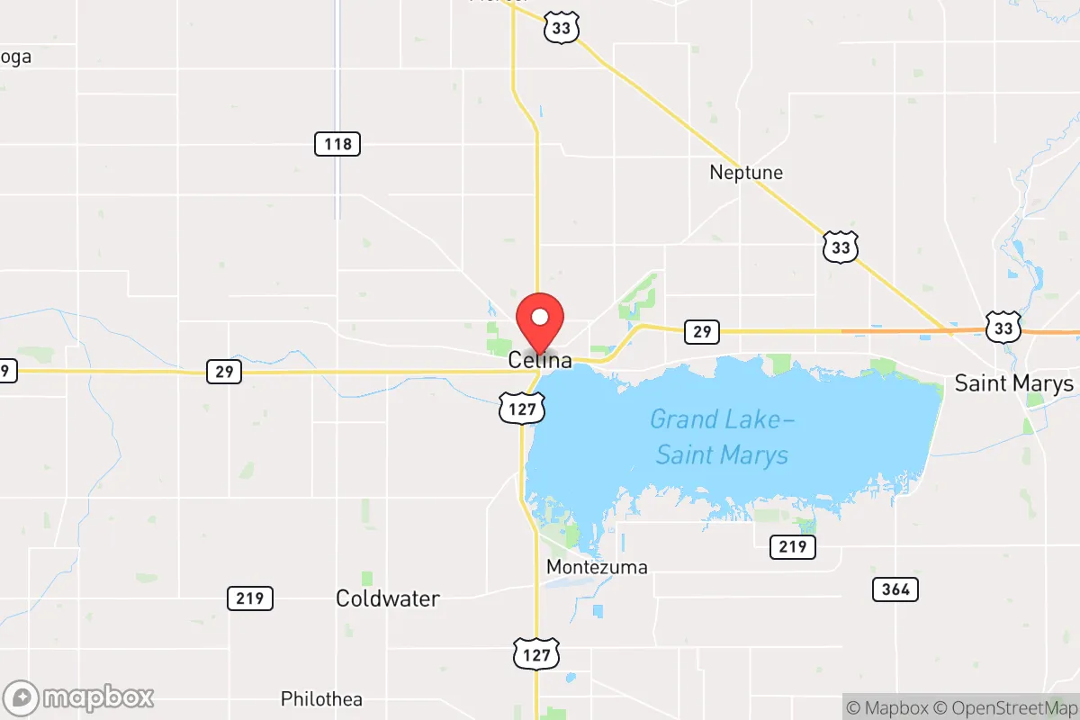
Celina, Ohio, offers a compelling resilience profile for those prioritizing disaster readiness and self-sufficiency, balancing small-town stability with proximity to regional resources. Located in Mercer County along the western edge of the state, the city sits roughly 45 miles north of Dayton and 70 miles west of Columbus, placing it within a moderate distance of major urban centers while maintaining a distinctly rural character. For a relocator weighing strategic advantages, Celina’s position near the Indiana border, its access to the Grand Lake St. Marys watershed, and its distance from high-density population corridors make it a noteworthy candidate for a prepared lifestyle.
Geographic position and natural advantages for self-sufficiency
Celina’s geography provides several inherent benefits for resilience-minded individuals. The city is situated on the western edge of the Grand Lake St. Marys, a 13,500-acre man-made reservoir that serves as a significant freshwater resource. This lake, while historically challenged by algal blooms, offers a substantial surface water supply that can support irrigation, livestock, and emergency water needs if properly treated. The surrounding terrain is predominantly flat to gently rolling agricultural land, part of the fertile Corn Belt region, which means local food production capacity is high—Mercer County ranks among Ohio’s top counties for corn and soybean yields. The area’s temperate climate, with average annual precipitation around 38 inches, supports rain-fed agriculture without heavy reliance on irrigation infrastructure. For a relocator, this means the land itself can sustain basic food production, and the lake provides a buffer against short-term drought. Additionally, Celina’s location roughly 100 miles from Lake Erie and 150 miles from the Ohio River offers secondary water access without the flood risks associated with major riverfront property. The city’s elevation, at about 870 feet above sea level, places it above most floodplain concerns, though low-lying areas near the lake can experience localized flooding during heavy rain events.
Risks, exposures, and proximity to fallout-relevant landmarks
No resilience assessment is complete without acknowledging vulnerabilities. Celina’s primary natural risk comes from severe weather—the region sits within the traditional “Tornado Alley” of the Midwest, with Mercer County averaging 12 tornado warnings per year. While direct hits are rare, the flat terrain offers little natural shielding from storm systems. Winter storms can also disrupt power and transportation, with occasional ice events causing multi-day outages. More critically for a strategic relocation, Celina’s proximity to potential man-made risks requires honest evaluation. The city is roughly 45 miles from Wright-Patterson Air Force Base near Dayton, a major military installation and logistics hub that could be a target in a conflict scenario. Similarly, the nearby Interstate 75 corridor, running 30 miles east, is a high-value transportation artery. Celina itself has no major industrial or military targets, but its location within 100 miles of several potential fallout-relevant landmarks—including chemical plants along the Ohio River and the Fermi 2 nuclear power plant near Monroe, Michigan (about 120 miles northwest)—means a relocator should plan for regional contamination scenarios. The prevailing westerly winds in this part of Ohio would carry fallout from a western or northwestern event toward the area, though Celina’s distance from these sites provides a meaningful buffer. For a conservative-leaning reader, the key takeaway is that Celina is not a primary target but sits within a zone where secondary effects from regional events are plausible, requiring a solid shelter-in-place plan.
Practical resilience for a relocator: food, water, energy, and defensibility
Celina’s practical resilience strengths lie in its agricultural base and community infrastructure. The city is surrounded by working farms, meaning local food production is not a theoretical exercise—grain elevators, livestock operations, and farmers’ markets are part of daily life. The Mercer County Agricultural Society operates a fairground that could serve as a distribution hub in emergencies. For water, the Grand Lake St. Marys watershed is the obvious asset, but its water quality issues (elevated phosphorus levels causing algal blooms) mean that any long-term reliance requires filtration or treatment capability. The city’s municipal water system draws from the lake and treats it, but a grid-down scenario would necessitate private wells or surface water collection. Many rural properties in the area already have wells, which is a significant advantage over suburban subdivisions reliant on municipal supply. Energy resilience is mixed: Celina is served by American Electric Power, and the regional grid is reasonably stable, but rural areas can experience longer outage durations during storms. Solar potential is moderate—the area receives about 4.2 peak sun hours per day, enough for supplemental solar but not full off-grid capability without battery storage. Natural gas is widely available, offering a backup heating option. Defensibility is perhaps Celina’s strongest resilience attribute. The city’s population of roughly 10,000 is spread across a low-density footprint, with many homes on acreage lots. The surrounding countryside offers numerous rural properties with good sightlines, multiple egress routes via state routes 29, 127, and 703, and a strong local hunting culture that translates to widespread firearm ownership. The Mercer County Sheriff’s Office maintains a visible presence, and the community’s conservative values generally support self-reliance and mutual aid networks. For a relocator, the practical question is whether to live within city limits (better infrastructure, closer neighbors) or on the outskirts (more land, greater privacy, but longer response times).
The overall strategic picture for Celina, Ohio, is one of moderate resilience with clear trade-offs. It offers genuine advantages in water access, local food production, and a defensible rural layout that aligns with self-sufficiency goals. Its distance from major urban centers reduces but does not eliminate exposure to regional risks, particularly from military installations and industrial infrastructure. For a relocator who is serious about preparedness, Celina represents a middle ground—not as remote as the Upper Peninsula or as exposed as a suburb of Columbus, but a place where practical steps like installing a well, maintaining a garden, and building community ties can meaningfully improve readiness. The area’s conservative culture and agricultural economy provide a foundation for long-term stability, but the flat terrain and severe weather risks demand a proactive approach to shelter and backup systems. Ultimately, Celina is a viable option for those who want to be near enough to regional resources to access them, but far enough to maintain independence when the grid falters.

* Values derived from national, state, county, city and local statistics and may differ in a specific area. Last updated: 2026-10-15T00:57:02.000Z
Narrative content on this page is AI-generated and may contain mistakes. Verify any details that matter before acting on them.
ReloMaps may earn a commission from affiliate links at no extra cost to you.

