Photo: Wikipedia
Strategic Assessment of Cedar Falls, IA
Workable tactical position. Some exposure to population density or targets, but generally defensible in a crisis.
What does the Strategic Assessment tell us?
Our Strategic Assessment grades tactical survivability of an area. Major population centers, military targets, fallout zones, natural disasters, and border exposure all drive risk — lower exposure means a more defensible position in a crisis.
This is heavily inspired by Joel Skousen's Strategic Relocation book. Highly recommended you checkout the book ($)What does this tell us?
Our Strategic Assessment grades tactical survivability of an area. Major population centers, military targets, fallout zones, natural disasters, and border exposure all drive risk — lower exposure means a more defensible position in a crisis.
This is heavily inspired by Joel Skousen's Strategic Relocation book. Highly recommended you checkout the book ($)Strategic Pillars

Key Distances
Regional Safe Places
Below is our recommended "safe zones" in Iowa and the surrounding area based on our strategic heuristics. For most people, it's unrealistic to live in a “safe zone” full-time due to work, family or other personal reasons. They tend to be more rural. However, many of these areas are perfect for second homes and retreat properties that double as a vacation home or even a short-term rental.


Important Note: For informational purposes only. This does not mean nothing bad ever happens in the green zones. Please use common sense. This is based on public data and modeled with AI. We tried to take a conservative approach but mistakes happen. We update this regularly as new information becomes available.
Solar Generator Recommendations
Backup power matters more here than in safer locations. We've picked three solar generators across budgets and capacity tiers — start with the budget unit if you only need a few essentials, or step up if you want to run a fridge and HVAC for days at a time.

Jackery Portable Power Station Explorer 300
Budget OptionPower on the Go: Weighing only 11 lbs, it's convenient to set up and store with book-sized foldable solar panels

BLUETTI Portable Power Station AC180
Designed for both indoor and outdoor scenarios, AC180 is highly capable as it has a robost capacity and continuous output power.

EF ECOFLOW DELTA Pro Ultra Power Station
Upgraded PickEcoFlow DELTA Pro Ultra is a whole-home energy system designed to grow with your family. Integrated with the Smart Home Panel 2, it scales to meet your evolving energy needs — keeping your home powered, intelligent, and secure through every stage of life.
We earn a commission, at no additional cost to you.
Strategic Assessment Analysis
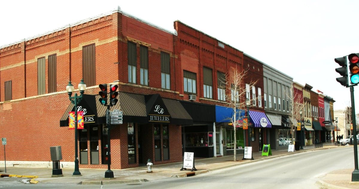
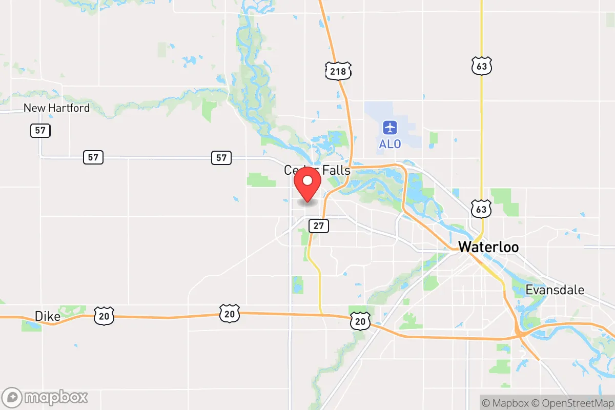
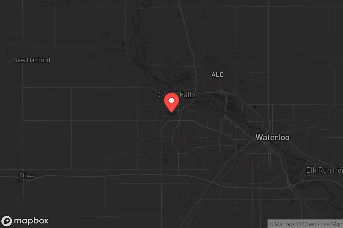
Cedar Falls, Iowa, occupies a strategic position that resilience-minded relocators should examine closely. Nestled in the northeastern part of the state along the Cedar River, this city of roughly 40,000 offers a blend of Midwestern stability, agricultural self-sufficiency, and relative isolation from the most volatile coastal and urban corridors. While no location is immune to the cascading risks of the 21st century—economic collapse, civil unrest, or natural disaster—Cedar Falls presents a defensible, resource-rich option for those prioritizing long-term preparedness over convenience or glamour. Its distance from major metropolitan targets and its embeddedness in the productive heartland make it a serious candidate for a strategic relocation, especially for conservative-leaning individuals and families who value community cohesion, local governance, and the ability to sustain themselves when systems falter.
Geographic position and natural advantages for long-term security
Cedar Falls sits in Black Hawk County, roughly 100 miles northeast of Des Moines and about 50 miles west of the Mississippi River. This placement offers a critical buffer: it is far enough from major population centers—Chicago is 200 miles east, Minneapolis 180 miles north—to avoid the immediate fallout of urban unrest, yet close enough to access regional supply chains and medical infrastructure when they function. The Cedar River watershed provides a reliable freshwater source, and the surrounding landscape is dominated by fertile farmland, not industrial sprawl. The area lies outside the highest-risk zones for earthquakes, hurricanes, and wildfires, though tornadoes are a seasonal reality. For a prepper, the key advantage is low population density and limited strategic value to adversaries—Cedar Falls is not a transportation hub, military base, or energy nexus, meaning it is unlikely to be a primary target in a conflict or a flashpoint for civil breakdown. The city’s elevation and drainage patterns also reduce flood risks compared to downstream communities, though the 2008 flood did cause significant damage, a reminder that no natural buffer is absolute.
Risks, exposures, and proximity to fallout-relevant landmarks
No strategic assessment is complete without acknowledging vulnerabilities. Cedar Falls is within 30 miles of the Duane Arnold Energy Center, a decommissioned nuclear plant near Palo, Iowa. While the facility is no longer generating power, spent fuel remains on site in dry cask storage. A catastrophic event—whether from sabotage, earthquake, or accident—could release radioactive material, though prevailing winds typically carry fallout eastward, away from Cedar Falls. More pressing for the prepper mindset is the city’s proximity to Interstate 380, a major north-south corridor connecting Waterloo and Cedar Rapids. In a crisis, this highway could become a chokepoint for refugees fleeing larger cities, potentially bringing civil unrest or resource competition. The Waterloo-Cedar Falls metropolitan area’s population of roughly 170,000 is manageable, but it is not remote; a determined mob or organized looters could reach the city within hours from Des Moines or the Quad Cities. Additionally, the Cedar River itself poses a contamination risk—industrial runoff or upstream sabotage could compromise the water supply, requiring filtration or storage. The area’s reliance on the regional power grid, which is part of the MISO system, means that a cyberattack or EMP event could knock out electricity for weeks, a scenario for which most residents are unprepared.
Practical resilience for a relocator: food, water, energy, and defensibility
For the individual or family serious about self-sufficiency, Cedar Falls offers tangible advantages. The surrounding agricultural region produces corn, soybeans, and livestock in abundance, and local farmers’ markets and co-ops (like the Cedar Falls Community Market) provide direct access to fresh food even when supply chains falter. Water is the most critical resource, and the Cedar River is a perennial source, but it requires treatment—boiling, filtration, or chemical purification—before consumption. The city’s municipal water system draws from groundwater wells, which are less vulnerable to surface contamination but still dependent on electrical pumps. A backup plan involving rainwater catchment or a private well is advisable. Energy resilience is more challenging: natural gas and electricity are grid-dependent, though the region’s wind and solar potential is moderate. Wood-burning stoves are common in rural homes, and propane tanks can provide off-grid cooking and heating for weeks. Defensibility is mixed. Cedar Falls’ layout—a mix of older neighborhoods with tree-lined streets and newer subdivisions—offers limited natural chokepoints. However, the city’s strong sense of community and relatively low crime rate (violent crime is about 60% below the national average) mean that neighbors are more likely to cooperate than compete in a crisis. The presence of the University of Northern Iowa adds a transient population that could become a liability if students flee en masse, but the university’s infrastructure—dining halls, gymnasiums, and dormitories—could be repurposed as shelter or supply hubs in an organized response.
The overall strategic picture for Cedar Falls is cautiously favorable for the conservative prepper. It is not a hardened bunker or a remote mountain redoubt, but it offers a realistic balance of resource availability, community stability, and distance from the most likely flashpoints of national collapse. The city’s political leanings—Black Hawk County voted Democratic in recent presidential elections, but the city itself and surrounding rural areas are more conservative—mean that local governance is not uniformly aligned with a survivalist worldview, but the culture of self-reliance and neighborly assistance is deeply ingrained. For the relocator willing to invest in water filtration, a backup power system, and a network of like-minded locals, Cedar Falls provides a foundation that is both livable in normal times and survivable in bad ones. The key is to act before the crisis, not after. If you are looking for a place that is not on the radar of those planning for disaster, but still offers the infrastructure to weather it, this corner of Iowa deserves a hard look.
* Values derived from national, state, county, city and local statistics and may differ in a specific area. Last updated: 2026-04-30T05:51:35.000Z
Narrative content on this page is AI-generated and may contain mistakes. Verify any details that matter before acting on them.
ReloMaps may earn a commission from affiliate links at no extra cost to you.