Photo: Wikipedia
Strategic Assessment of Placer County
Workable tactical position. Some exposure to population density or targets, but generally defensible in a crisis.
What does the Strategic Assessment tell us?
Our Strategic Assessment grades tactical survivability of an area. Major population centers, military targets, fallout zones, natural disasters, and border exposure all drive risk — lower exposure means a more defensible position in a crisis.
This is heavily inspired by Joel Skousen's Strategic Relocation book. Highly recommended you checkout the book ($)What does this tell us?
Our Strategic Assessment grades tactical survivability of an area. Major population centers, military targets, fallout zones, natural disasters, and border exposure all drive risk — lower exposure means a more defensible position in a crisis.
This is heavily inspired by Joel Skousen's Strategic Relocation book. Highly recommended you checkout the book ($)Strategic Pillars

Key Distances
Strategic Assessment Analysis
Placer County offers a compelling strategic position for relocation-minded individuals and families who prioritize disaster readiness and long-term self-sufficiency, balancing proximity to critical infrastructure with meaningful geographic buffers. Stretching from the Sacramento Valley floor near Roseville up through the Sierra Nevada foothills and into the high country around Lake Tahoe, the county provides a layered set of advantages: access to major transportation corridors like Interstate 80, a robust local economy anchored by the Placer County government and healthcare systems, and a population density that thins dramatically as elevation increases. For a reader thinking seriously about resilience, Placer County’s key strength lies in its ability to offer both urban-adjacent resources and remote, defensible retreat options within a single jurisdiction.
Geographic position and natural advantages for disaster readiness
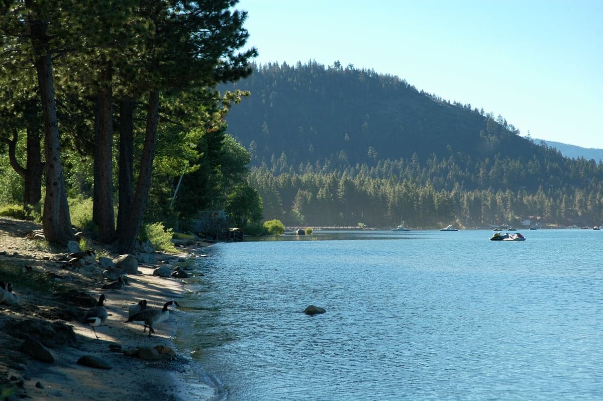
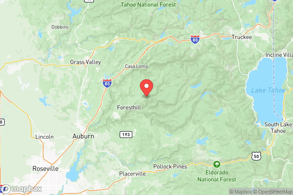
Placer County’s geography is its primary strategic asset. The county spans roughly 1,500 square miles, with the western third—home to Roseville, Rocklin, and Lincoln—sitting in the flat Sacramento Valley, while the eastern two-thirds rise into the Sierra Nevada, encompassing Auburn, Colfax, and the North Lake Tahoe region. This elevation gradient provides natural defensive depth: a relocator living in the foothills near Auburn (elevation ~1,200 feet) is already above the valley fog and floodplains, while properties near Foresthill or Truckee (elevation 5,000+ feet) offer significant terrain-based security. The county is bisected by the American River and its forks, which supply reliable surface water—a critical resource for independent water systems. The Sierra Nevada snowpack acts as a natural reservoir, and the county’s position on the eastern edge of the Sacramento Valley means it is less exposed to the dense urban fallout zones of the Bay Area or Sacramento proper. For a reader concerned about electromagnetic pulse (EMP) or grid-down scenarios, the mountainous terrain also provides natural shielding and line-of-sight challenges for potential threats.
Risks, exposures, and proximity to fallout-relevant landmarks
No strategic assessment is complete without acknowledging the risks. Placer County’s western cities—Roseville, Rocklin, and Lincoln—are within 20 miles of Sacramento’s urban core, a major population center with a population exceeding 500,000, and within 100 miles of the San Francisco Bay Area, a primary economic and military target. The county itself hosts Beale Air Force Base near Marysville (just north of the county line), which operates the U-2 and Global Hawk surveillance aircraft—a high-value military asset that could be a secondary target in a conflict scenario. Additionally, the Sacramento International Airport and the Port of Sacramento (in West Sacramento) are within 30 miles of the county’s western edge, representing logistical nodes that could attract disruption. On the natural hazard side, the county faces significant wildfire risk, particularly in the foothills and mountain communities; the 2020 Bear Fire and 2021 Caldor Fire both threatened populated areas. Earthquake risk is moderate, with the Sierra Nevada fault zone running through the eastern portion, though major seismic events are less frequent than in coastal California. Flood risk is concentrated in the valley floor near the American and Sacramento rivers, but most foothill properties are well above floodplains.
Practical resilience for a relocator: food, water, energy, and defensibility
For a relocator focused on practical self-sufficiency, Placer County offers a mix of opportunities and constraints. Water availability is strong: the county’s groundwater basins in the valley are replenished by Sierra snowmelt, and many foothill properties have access to private wells or surface water rights. The American River and its tributaries provide year-round flow, though drought years can reduce surface water reliability. Food production capacity is moderate: the valley floor around Lincoln and Sheridan has productive agricultural soil, with local farms producing rice, almonds, and livestock, but the county is not a major grain or staple crop producer. The foothills are better suited for orchards, vineyards, and small-scale livestock than row crops. Energy resilience is a mixed picture: the county has above-average solar potential, especially in the foothills, and many rural properties already use solar with battery backup. However, the grid is vulnerable to wildfire-related Public Safety Power Shutoffs (PSPS), which have become annual events in high-fire-risk zones. Propane and wood heating are common in mountain areas, providing off-grid heat options. Defensibility varies by location: valley suburbs like Roseville offer community security but are vulnerable to population movement during a crisis, while foothill properties near Foresthill or the Iowa Hill area offer limited road access (single-lane roads, dead-end canyons) that can be monitored and controlled. The county’s law enforcement presence is strong in incorporated areas, but rural areas rely on the Placer County Sheriff’s Office, which has a reputation for professionalism but limited staffing for widespread emergencies.
The overall strategic picture for Placer County is one of balanced trade-offs. The county’s western edge provides access to Sacramento’s medical infrastructure, supply chains, and employment—but that proximity is also its greatest vulnerability in a major disruption. The eastern foothills and mountain communities offer genuine defensive depth, reliable water, and off-grid potential, but at the cost of wildfire risk, limited road egress, and harsher winters. For a relocator who can afford property in the 2,000- to 4,000-foot elevation band—areas like Meadow Vista, Applegate, or the Lake of the Pines community—the county offers a rare combination of Sierra Nevada water security, terrain-based defensibility, and reasonable access to valley resources. The key is to avoid the valley floor suburbs that are effectively bedroom communities for Sacramento, and instead target properties with independent water, solar orientation, and multiple access routes. Placer County is not a bug-out location—it is a live-in, work-in, prepare-in place that rewards deliberate property selection and a realistic understanding of its risks.

* Values derived from national, state, county, city and local statistics and may differ in a specific area. Last updated: 2026-07-23T08:20:24.000Z
Narrative content on this page is AI-generated and may contain mistakes. Verify any details that matter before acting on them.
ReloMaps may earn a commission from affiliate links at no extra cost to you.

