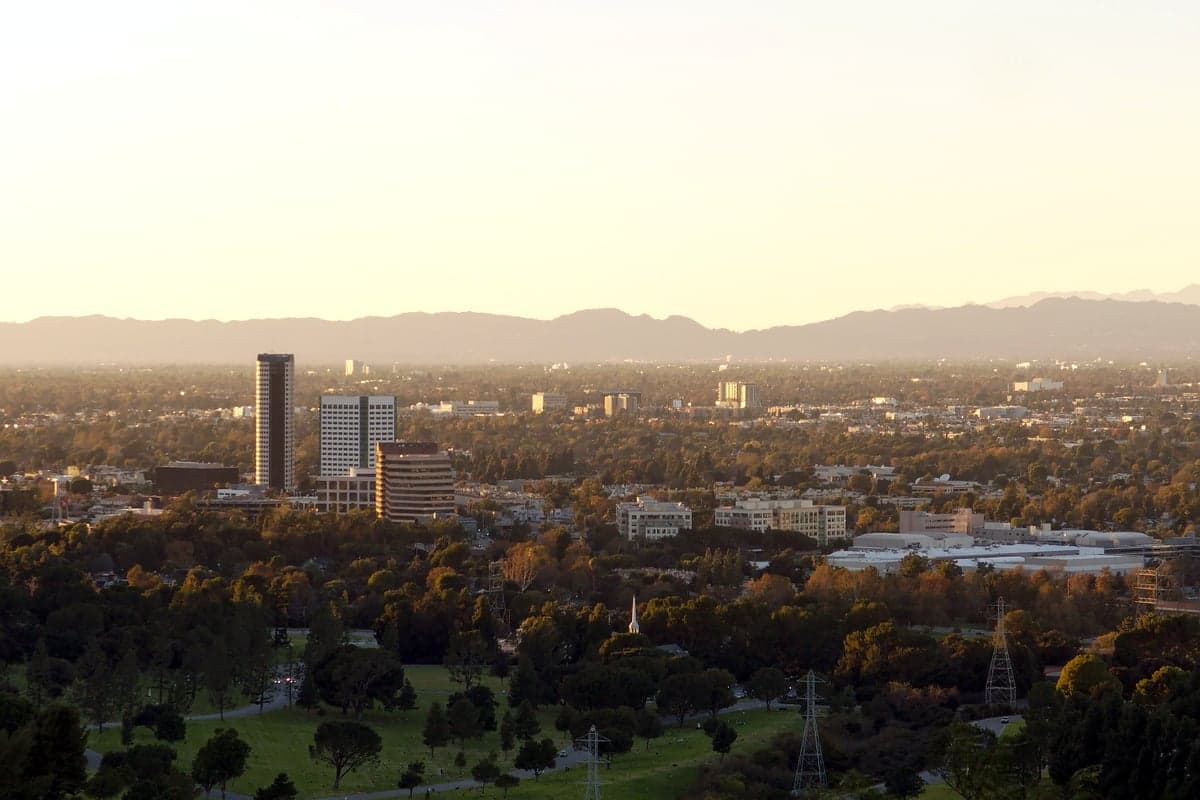
Photo: Wikipedia
Strategic Assessment of Burbank, CA
High tactical risk. This location is likely close to major population centers, strategic targets, or sits in a high-disaster corridor. A retreat property and careful exit planning is required.
What does the Strategic Assessment tell us?
Our Strategic Assessment grades tactical survivability of an area. Major population centers, military targets, fallout zones, natural disasters, and border exposure all drive risk — lower exposure means a more defensible position in a crisis.
This is heavily inspired by Joel Skousen's Strategic Relocation book. Highly recommended you checkout the book ($)What does this tell us?
Our Strategic Assessment grades tactical survivability of an area. Major population centers, military targets, fallout zones, natural disasters, and border exposure all drive risk — lower exposure means a more defensible position in a crisis.
This is heavily inspired by Joel Skousen's Strategic Relocation book. Highly recommended you checkout the book ($)Strategic Pillars

Key Distances
Regional Safe Places
Below is our recommended "safe zones" in California and the surrounding area based on our strategic heuristics. For most people, it's unrealistic to live in a “safe zone” full-time due to work, family or other personal reasons. They tend to be more rural. However, many of these areas are perfect for second homes and retreat properties that double as a vacation home or even a short-term rental.




Important Note: For informational purposes only. This does not mean nothing bad ever happens in the green zones. Please use common sense. This is based on public data and modeled with AI. We tried to take a conservative approach but mistakes happen. We update this regularly as new information becomes available.
Solar Generator Recommendations
Backup power matters more here than in safer locations. We've picked three solar generators across budgets and capacity tiers — start with the budget unit if you only need a few essentials, or step up if you want to run a fridge and HVAC for days at a time.

Jackery Portable Power Station Explorer 300
Budget OptionPower on the Go: Weighing only 11 lbs, it's convenient to set up and store with book-sized foldable solar panels

BLUETTI Portable Power Station AC180
Designed for both indoor and outdoor scenarios, AC180 is highly capable as it has a robost capacity and continuous output power.

EF ECOFLOW DELTA Pro Ultra Power Station
Upgraded PickEcoFlow DELTA Pro Ultra is a whole-home energy system designed to grow with your family. Integrated with the Smart Home Panel 2, it scales to meet your evolving energy needs — keeping your home powered, intelligent, and secure through every stage of life.
We earn a commission, at no additional cost to you.
Strategic Assessment Analysis
Burbank, California, presents a complex strategic picture for the relocation-minded reader focused on resilience and self-sufficiency. Its core advantage is its position within the Los Angeles basin, offering access to the economic engine of Southern California, but this very proximity introduces significant vulnerabilities. For a conservative-leaning individual or family weighing disaster readiness, Burbank’s location is a double-edged sword: it provides immediate resources and infrastructure, yet sits squarely in a zone of high population density, seismic activity, and potential man-made risks that demand a clear-eyed assessment of trade-offs.
Geographic position and natural advantages for daily life
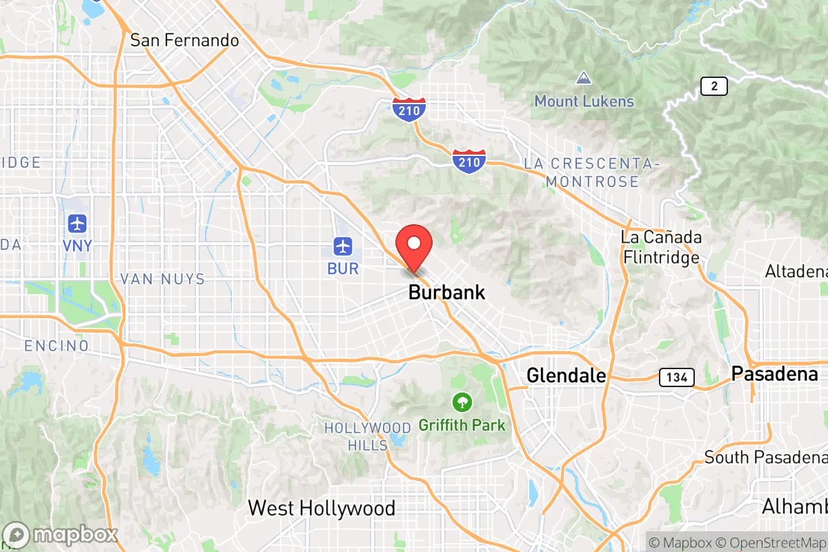
Burbank occupies a unique niche in the San Fernando Valley, roughly 12 miles northwest of downtown Los Angeles. Its geographic position offers several practical advantages for daily life. The city is shielded from direct coastal weather patterns by the Santa Monica Mountains to the south, resulting in a Mediterranean climate with mild, wet winters and dry, warm summers—average highs range from 68°F in January to 88°F in August. This climate reduces the risk of extreme weather events like hurricanes or blizzards, a clear plus for long-term stability. The nearby Verdugo Mountains to the north and the San Gabriel Mountains to the east provide natural barriers that can slow the spread of wildfires in certain directions, though they also channel winds. For a relocator, the area’s water supply is a critical factor: Burbank draws from the Los Angeles Aqueduct system and local groundwater basins, but the region’s ongoing drought cycles mean water conservation is a permanent reality. The city’s elevation, ranging from roughly 500 to 1,000 feet, offers some protection against sea-level rise, a non-issue here, but does not mitigate the primary natural risk: earthquakes. The San Andreas Fault lies about 30 miles northeast, and the smaller but active San Fernando Fault runs through the valley itself. Burbank’s building codes are among the strictest in the nation, a legacy of the 1971 Sylmar and 1994 Northridge earthquakes, which means newer structures are engineered for significant shaking. However, older housing stock—common in the city’s central neighborhoods—may not meet modern standards, a detail a relocator should verify before purchase.
Risks, exposures, and proximity to fallout-relevant landmarks
The most significant resilience challenge for Burbank is its proximity to high-value, high-risk targets. The city is home to major media studios—Warner Bros., Disney, and NBCUniversal—which are economic assets but also potential symbols in a conflict scenario. Burbank Bob Hope Airport (BUR) is a medium-sized commercial and cargo hub, and the nearby Burbank-Glendale-Pasadena Airport Authority area adds to the concentration of aviation infrastructure. Within a 10-mile radius lie the Los Angeles International Airport (LAX), the Port of Los Angeles, and the Port of Long Beach—the busiest container port complex in the Western Hemisphere. These are obvious strategic targets in any major conflict, and their proximity means Burbank sits within a potential fallout zone from a conventional or nuclear strike on those facilities. The city’s population density—roughly 105,000 people in 17 square miles—compounds the risk. In a crisis requiring evacuation, the major freeways (I-5, CA-134, CA-170) would quickly gridlock, as seen during the 2019 Saddleridge Fire evacuations. The city’s location in a basin also creates a risk of smoke and particulate accumulation during wildfire events, as the surrounding mountains trap air. For the resilience-minded relocator, Burbank’s exposure to these man-made and natural risks is a clear negative, requiring a robust personal preparedness plan that accounts for both earthquake aftermath and potential evacuation from a broader regional crisis.
Practical resilience for a relocator: food, water, energy, and defensibility
For a relocator focused on self-sufficiency, Burbank’s practical resilience is a mixed bag. Water is the most pressing concern. The city’s supply is heavily dependent on imported water from the State Water Project and the Colorado River, both of which face long-term reliability issues due to drought and legal disputes. While Burbank Water and Power (BWP) maintains local groundwater wells and a recycled water program, a major earthquake could disrupt the aqueduct system for weeks. A relocator should plan for at least two weeks of stored water per person, and consider a rainwater catchment system—though annual rainfall is only about 15 inches, making this a supplementary rather than primary source. Food security is moderate. Burbank has several grocery stores and farmers’ markets, but the city is not a food-producing region; most fresh produce travels from the Central Valley or farther. A personal garden is feasible in many backyards, but the Mediterranean climate requires careful plant selection (e.g., drought-tolerant vegetables like tomatoes, peppers, and squash). Energy is a relative strength: BWP is a municipal utility with a diverse portfolio including natural gas, solar, and hydroelectric power. The grid is well-maintained, but during a major earthquake or heatwave, rolling blackouts are possible. Solar panels with battery storage are a wise investment, and Burbank’s net metering policies make this financially viable. Defensibility is the weakest link. Burbank is a dense, urban environment with a high population per square mile. In a prolonged crisis, securing a home against looting or civil unrest would be challenging without a strong neighborhood network. The city’s police force is well-funded and responsive, but during a regional emergency, response times would lengthen dramatically. The best strategy for a relocator is to choose a home on a quieter, dead-end street with good sightlines, and to build relationships with neighbors who share a preparedness mindset. The Burbank Emergency Management Division offers free CERT (Community Emergency Response Team) training, which is a practical step for building local resilience.
The overall strategic picture for Burbank is one of calculated trade-offs. It offers a stable, economically vibrant environment with strong municipal services and a climate that avoids the worst of extreme weather. For a family that values career access to the entertainment industry or aerospace sector (Lockheed Martin has a facility in nearby Palmdale), the location is hard to beat. However, for the reader whose primary concern is long-term disaster readiness and self-sufficiency, Burbank’s density, reliance on imported water, and proximity to high-value targets are significant liabilities. It is not a bug-out location or a homesteading destination. It is a place where a prepared individual can thrive in normal times, but must accept that a major regional crisis would require either a well-stocked home with a strong community network or a pre-planned evacuation route to a more defensible secondary location. The key is to treat Burbank as a base of operations, not a fortress—and to invest accordingly in mobility, supplies, and local connections. For the right person, it works; for the wrong one, it is a trap.

* Values derived from national, state, county, city and local statistics and may differ in a specific area. Last updated: 2026-08-20T05:11:06.000Z
Narrative content on this page is AI-generated and may contain mistakes. Verify any details that matter before acting on them.
ReloMaps may earn a commission from affiliate links at no extra cost to you.

