
Photo: Wikipedia
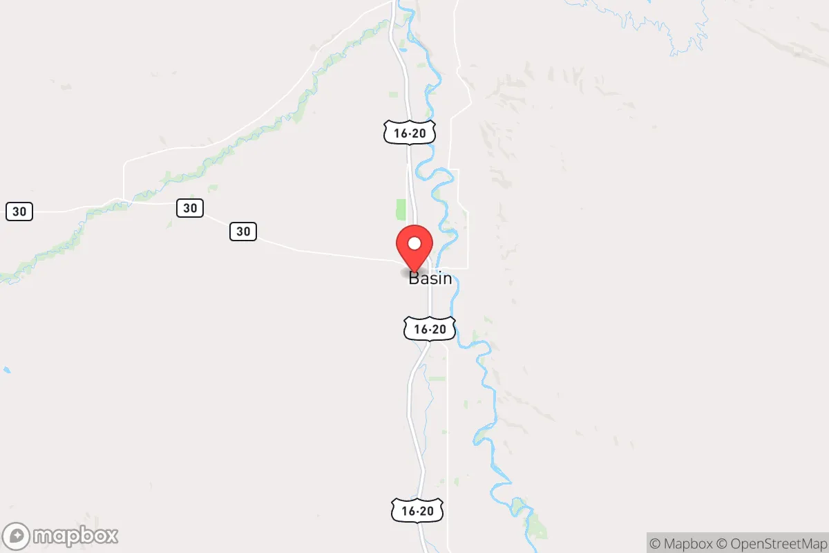
Strategic Assessment of Basin, WY
Strong survivability profile. Good buffer from population centers, with manageable environmental and tactical risks.
What does the Strategic Assessment tell us?
Our Strategic Assessment grades tactical survivability of an area. Major population centers, military targets, fallout zones, natural disasters, and border exposure all drive risk — lower exposure means a more defensible position in a crisis.
This is heavily inspired by Joel Skousen's Strategic Relocation book. Highly recommended you checkout the book ($)What does this tell us?
Our Strategic Assessment grades tactical survivability of an area. Major population centers, military targets, fallout zones, natural disasters, and border exposure all drive risk — lower exposure means a more defensible position in a crisis.
This is heavily inspired by Joel Skousen's Strategic Relocation book. Highly recommended you checkout the book ($)Strategic Pillars

Key Distances
Regional Safe Places
Below is our recommended "safe zones" in Wyoming and the surrounding area based on our strategic heuristics. For most people, it's unrealistic to live in a “safe zone” full-time due to work, family or other personal reasons. They tend to be more rural. However, many of these areas are perfect for second homes and retreat properties that double as a vacation home or even a short-term rental.
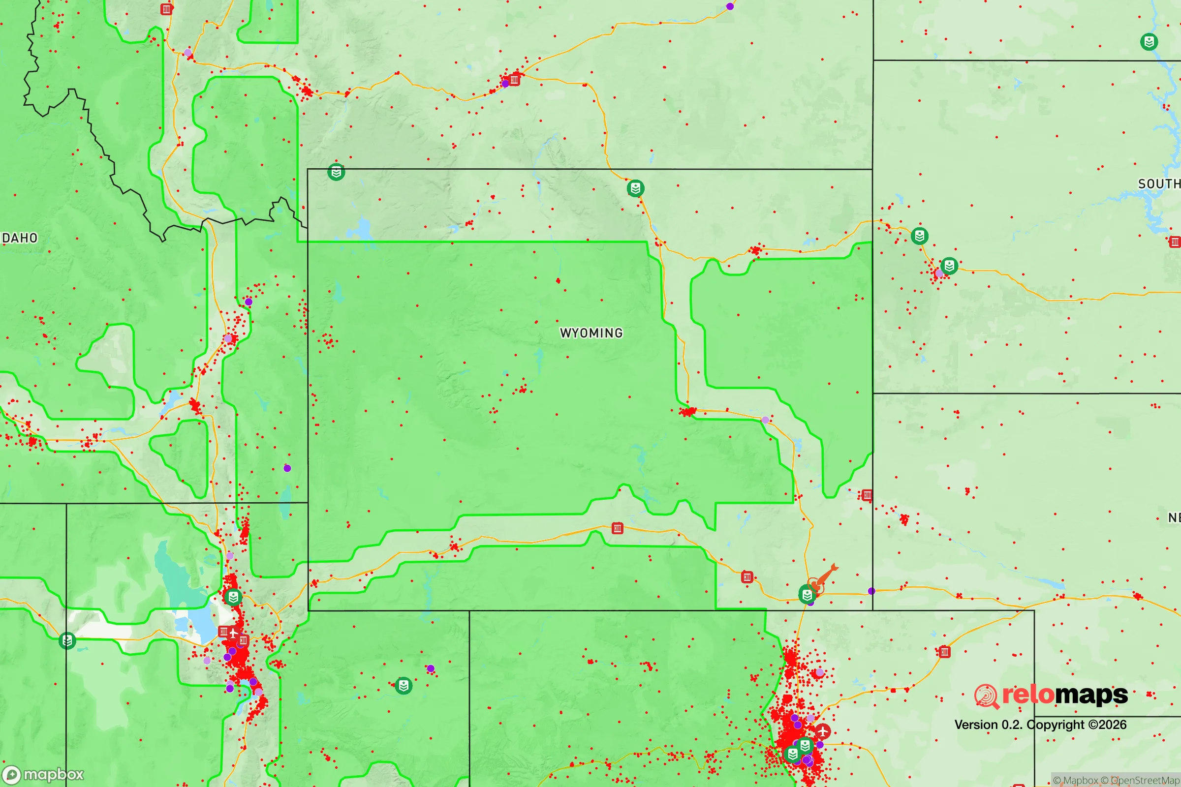
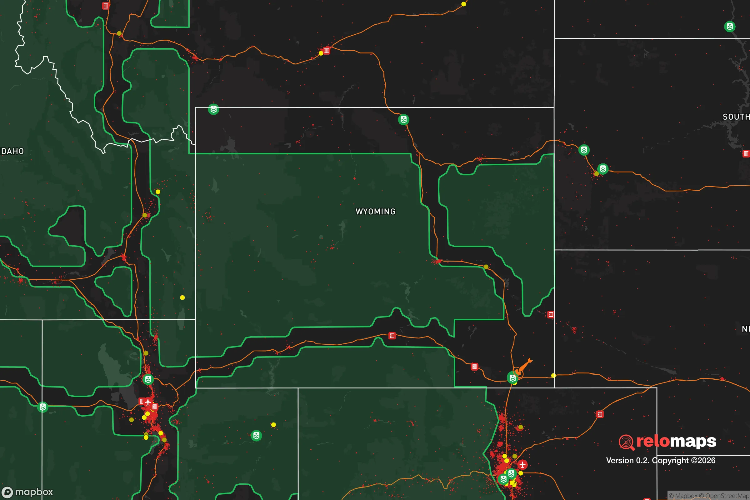
Important Note: For informational purposes only. This does not mean nothing bad ever happens in the green zones. Please use common sense. This is based on public data and modeled with AI. We tried to take a conservative approach but mistakes happen. We update this regularly as new information becomes available.
Solar Generator Recommendations
Backup power matters more here than in safer locations. We've picked three solar generators across budgets and capacity tiers — start with the budget unit if you only need a few essentials, or step up if you want to run a fridge and HVAC for days at a time.

Jackery Portable Power Station Explorer 300
Budget OptionPower on the Go: Weighing only 11 lbs, it's convenient to set up and store with book-sized foldable solar panels

BLUETTI Portable Power Station AC180
Designed for both indoor and outdoor scenarios, AC180 is highly capable as it has a robost capacity and continuous output power.

EF ECOFLOW DELTA Pro Ultra Power Station
Upgraded PickEcoFlow DELTA Pro Ultra is a whole-home energy system designed to grow with your family. Integrated with the Smart Home Panel 2, it scales to meet your evolving energy needs — keeping your home powered, intelligent, and secure through every stage of life.
We earn a commission, at no additional cost to you.
Strategic Assessment Analysis
Basin, Wyoming, sits in the Big Horn Basin, a geographic bowl that offers a rare combination of isolation, resource independence, and defensible terrain. For a relocator operating from a prepper or survivalist mindset, this town of roughly 1,300 people provides a strategic buffer against the cascading failures that plague urban corridors. Its location—roughly 100 miles from the nearest interstate (I-90) and 150 miles from the Yellowstone caldera—places it outside the immediate blast radius of major population centers while still within reach of critical supply routes. The Big Horn Basin’s semi-arid climate, with only 8-10 inches of annual precipitation, demands careful water planning, but the area’s underlying aquifer and proximity to the Big Horn River offer a lifeline that many arid Western towns lack. This is not a retreat for the unprepared; it is a position for those who understand that resilience requires both isolation and access.
Geographic position and natural advantages for long-term security
Basin’s geography is its primary strategic asset. The town sits at the confluence of the Big Horn River and the Greybull River, providing a dual-source water supply that is rare in Wyoming’s high desert. The surrounding Big Horn Mountains, rising to over 13,000 feet to the east, act as a natural barrier against weather systems and overland movement from the more populated Front Range. To the west, the Absaroka Range and the Shoshone National Forest create a buffer zone that is largely roadless and difficult to traverse. This means that any large-scale movement of people or resources into the Basin would be funneled through a handful of choke points—primarily US Highway 20 and Wyoming Highway 30—which can be monitored or controlled with minimal effort. The area’s elevation, around 3,800 feet, avoids the extreme cold of higher Wyoming towns like Jackson or Laramie, while still being high enough to discourage the kind of heat-related agricultural collapse seen in lower-elevation regions. For a relocator, this translates to a defensible position with natural barriers that reduce the risk of mass migration from failing cities.
Risks, exposures, and proximity to fallout-relevant landmarks
No location is without risk, and Basin has specific vulnerabilities that a strategic relocator must weigh. The most immediate concern is the Yellowstone Caldera, approximately 150 miles to the west. While a super-eruption is a low-probability event, the Big Horn Basin would be in the direct path of ashfall from a significant eruption, potentially disrupting agriculture, water supplies, and air quality for months or years. The area is also within 200 miles of the Minuteman III missile fields at F.E. Warren Air Force Base in Cheyenne, making it a secondary target zone in a nuclear exchange scenario—though the prevailing winds would carry fallout eastward, away from the Basin. More immediate risks include the area’s seismic activity along the Big Horn Mountains fault line, which could disrupt the region’s limited road network, and the potential for drought-induced wildfires that could cut off access to the mountains. The town’s proximity to the Wind River Indian Reservation (about 30 miles south) introduces a variable that some relocators view as a risk factor for resource competition during a collapse, though it also offers potential for trade and mutual aid if relationships are built beforehand. The key takeaway: Basin is not a fallout-free zone, but its distance from major cities like Billings (120 miles) and Casper (150 miles) means it avoids the immediate chaos of urban collapse.
Practical resilience for a relocator: food, water, energy, and defensibility
For a relocator focused on self-sufficiency, Basin offers a mixed but workable baseline. Water is the critical factor. The Big Horn River flows year-round, and the area’s groundwater is generally potable, but surface water rights are already over-allocated in the Big Horn Basin, meaning new residents cannot simply drill a well without navigating a complex permitting process. Rainwater collection is legal in Wyoming, but the low precipitation means a 1,000-square-foot roof yields only about 6,000 gallons annually—enough for a small household with strict conservation. Food production is viable but limited by a short growing season (roughly 100 frost-free days) and alkaline soils. The area is known for dryland farming of sugar beets, beans, and alfalfa, but a prepper would need to invest in hoop houses, drip irrigation, and soil amendments to achieve year-round production. The local ranching culture means that livestock—particularly sheep and cattle—are abundant, and a relocator with land can tap into the existing network of ranchers for breeding stock or meat. Energy is a strength: Wyoming is a net energy exporter, and Basin sits near natural gas fields and wind corridors. Solar panels are effective here, with over 300 days of sunshine annually, and the town’s small grid is less likely to experience cascading blackouts than urban systems. Defensibility is high due to the town’s layout—a compact grid of single-story homes with wide streets that allow for clear sightlines. The surrounding BLM land offers space for bug-out locations or cache sites, but the open terrain also means that a relocator must be prepared for long-range threats, as cover is limited outside the town limits.
The overall strategic picture for Basin, Wyoming, is one of calculated trade-offs. It offers a level of isolation and natural defense that is rare in the lower 48, with water access that many Western towns lack. The risks—from Yellowstone to drought to seismic activity—are real but manageable for a relocator who arrives with a plan, not just a dream. The town’s conservative culture, rooted in ranching and resource extraction, aligns with a prepper mindset of self-reliance and community mutual aid, but it is not a place for those seeking a pre-built survival compound. You will need to drill your own well, build your own soil, and establish relationships with neighbors who have been here for generations. The cost of entry is low—median home prices hover around $200,000—but the cost of preparation is high in time and labor. For a single individual or family willing to put in the work, Basin provides a strategic position that balances remoteness with access, risk with resource availability. It is not a fortress, but it is a defensible outpost in a world that is increasingly unstable.
* Values derived from national, state, county, city and local statistics and may differ in a specific area. Last updated: 2026-04-21T11:27:52.000Z
Narrative content on this page is AI-generated and may contain mistakes. Verify any details that matter before acting on them.
ReloMaps may earn a commission from affiliate links at no extra cost to you.