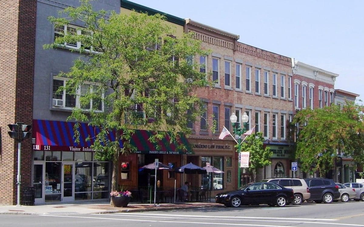
Photo: Wikipedia
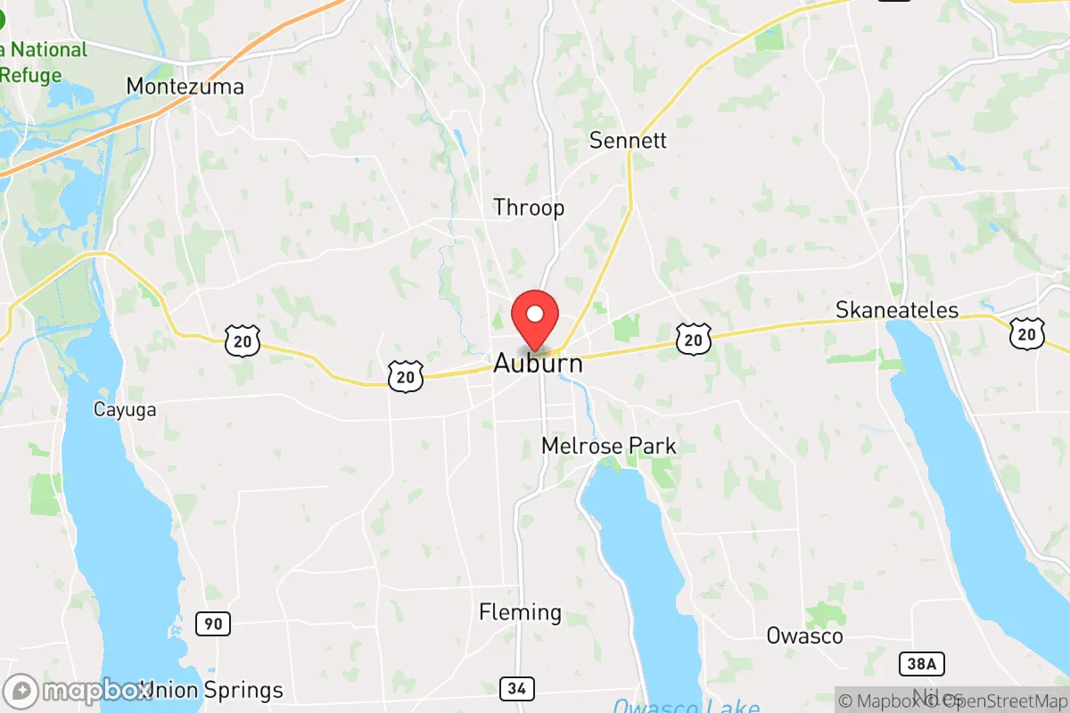
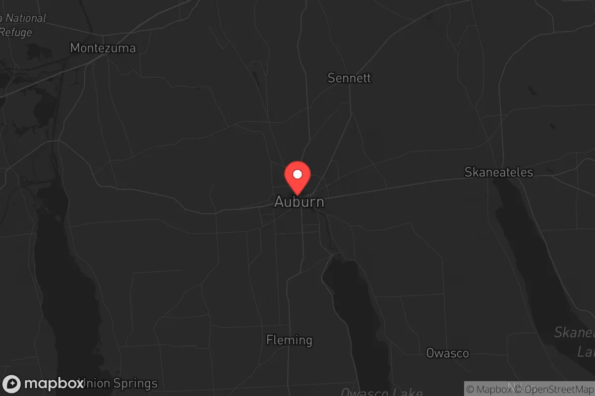
Strategic Assessment of Auburn, NY
Multiple tactical vulnerabilities. Population density, target proximity, or disaster risk are likely compounding. A retreat property and exit planning is required.
What does the Strategic Assessment tell us?
Our Strategic Assessment grades tactical survivability of an area. Major population centers, military targets, fallout zones, natural disasters, and border exposure all drive risk — lower exposure means a more defensible position in a crisis.
This is heavily inspired by Joel Skousen's Strategic Relocation book. Highly recommended you checkout the book ($)What does this tell us?
Our Strategic Assessment grades tactical survivability of an area. Major population centers, military targets, fallout zones, natural disasters, and border exposure all drive risk — lower exposure means a more defensible position in a crisis.
This is heavily inspired by Joel Skousen's Strategic Relocation book. Highly recommended you checkout the book ($)Strategic Pillars

Key Distances
Regional Safe Places
Below is our recommended "safe zones" in New York and the surrounding area based on our strategic heuristics. For most people, it's unrealistic to live in a “safe zone” full-time due to work, family or other personal reasons. They tend to be more rural. However, many of these areas are perfect for second homes and retreat properties that double as a vacation home or even a short-term rental.


Important Note: For informational purposes only. This does not mean nothing bad ever happens in the green zones. Please use common sense. This is based on public data and modeled with AI. We tried to take a conservative approach but mistakes happen. We update this regularly as new information becomes available.
Solar Generator Recommendations
Backup power matters more here than in safer locations. We've picked three solar generators across budgets and capacity tiers — start with the budget unit if you only need a few essentials, or step up if you want to run a fridge and HVAC for days at a time.

Jackery Portable Power Station Explorer 300
Budget OptionPower on the Go: Weighing only 11 lbs, it's convenient to set up and store with book-sized foldable solar panels

BLUETTI Portable Power Station AC180
Designed for both indoor and outdoor scenarios, AC180 is highly capable as it has a robost capacity and continuous output power.

EF ECOFLOW DELTA Pro Ultra Power Station
Upgraded PickEcoFlow DELTA Pro Ultra is a whole-home energy system designed to grow with your family. Integrated with the Smart Home Panel 2, it scales to meet your evolving energy needs — keeping your home powered, intelligent, and secure through every stage of life.
We earn a commission, at no additional cost to you.
Strategic Assessment Analysis
Auburn, New York, occupies a strategic position that balances genuine resilience advantages with real exposure risks, making it a location worth serious consideration for those prioritizing preparedness and long-term stability. Situated in the Finger Lakes region of Cayuga County, Auburn sits roughly equidistant from Syracuse (25 miles northeast) and Rochester (50 miles west), placing it close enough to access urban resources but far enough to avoid the immediate blast zones and worst civil unrest of those population centers. The city’s location on the north end of Owasco Lake provides a reliable freshwater source, while the surrounding agricultural land offers food security potential that many suburban or exurban locations cannot match. For a relocator thinking in terms of decades rather than years, Auburn’s combination of water access, farmland proximity, and moderate population density (roughly 26,000 residents) creates a baseline of survivability that warrants a closer look.
Geographic position and natural advantages for long-term stability
Auburn’s geography is its strongest card. The city sits on the northern shore of Owasco Lake, one of the smaller Finger Lakes, which means the water body is manageable for personal watercraft and fishing but not so large as to create the same vulnerability to contamination or access disputes as the bigger lakes. The surrounding terrain is rolling hills and fertile valleys, part of the Ontario Lowlands ecoregion, which supports robust agriculture—Cayuga County is a top producer of corn, soybeans, and dairy in New York State. This agricultural base means that even in a prolonged disruption of supply chains, local food production could sustain a reduced population. The region’s climate is temperate with cold winters (average January lows around 15°F) and moderate summers, which reduces the risk of extreme heat events that plague southern states. The Finger Lakes region also has a history of relative geological stability—no significant earthquake risk, no hurricane landfalls, and only occasional lake-effect snow events that are manageable with proper preparation. Auburn’s elevation (roughly 700 feet above sea level) keeps it above any floodplain concerns from the lake or the nearby Owasco River, though low-lying areas near the outlet do see periodic flooding. For a prepper, the key takeaway is that Auburn offers a defensible natural position with abundant water and food resources, provided you secure a property with lake access or a well and enough land for a garden.
Risks, exposures, and proximity to fallout-relevant landmarks
No strategic assessment is complete without acknowledging the liabilities. Auburn’s proximity to Syracuse and Rochester is a double-edged sword: those cities are likely targets for civil unrest, infrastructure sabotage, or even direct attack in a major conflict. Syracuse is home to Hancock Field Air National Guard Base and the Syracuse University research complex, both of which could be secondary targets. Rochester hosts the Eastman Kodak campus and the University of Rochester Medical Center, which might draw attention in a crisis. More concerning is Auburn’s location within 100 miles of the New York City metropolitan area—roughly 250 miles away, but within the fallout plume radius for a major nuclear event at Indian Point (now decommissioned but still a spent fuel storage site) or any attack on NYC itself. The prevailing winds in the region are from the west and southwest, meaning fallout from a NYC event would likely blow eastward, sparing Auburn the worst, but a detonation in Syracuse or Rochester would put Auburn in the danger zone. Additionally, Cayuga County has its own vulnerabilities: the Auburn Correctional Facility, a maximum-security prison, could become a focal point for unrest or a target for sabotage. The nearby Montezuma Wetlands Complex, while ecologically valuable, is also a major bird migration route that could be disrupted by biological agents. For a relocator, the calculus is clear: Auburn is not a remote bunker location, but it is far enough from primary targets that a well-prepared individual could survive the initial shock and then rely on local resources to ride out the aftermath.
Practical resilience for a relocator: food, water, energy, and defensibility
For the individual or family looking to establish a resilient homestead, Auburn offers concrete advantages that can be leveraged with moderate investment. Water security is excellent: Owasco Lake provides a surface water source that is generally clean (the city draws its drinking water from it), and the water table in the region is high enough that private wells are common and reliable. A property with a well and a hand pump or solar-powered pump would ensure water independence even if municipal systems fail. Food security is strong: Cayuga County has over 400 farms, including many that sell directly to consumers through farmers’ markets and CSAs. The growing season runs from May to October, and the soil is rich glacial till ideal for vegetables, fruit trees, and grains. A relocator with even a half-acre plot could produce a significant portion of their own calories, and the local Amish and Mennonite communities (present in nearby Penn Yan and Seneca Falls) offer a network of traditional skills and barter opportunities. Energy resilience is moderate: The region has decent solar potential (about 4.5 peak sun hours per day), and many rural properties already have backup generators due to frequent winter power outages. Natural gas is available in town, but propane tanks are common in outlying areas. The Finger Lakes region is also home to several small hydroelectric plants, though grid dependence remains a vulnerability. Defensibility is situational: Auburn itself is a compact city with a grid street pattern, which is not ideal for perimeter defense. However, the surrounding countryside offers numerous choke points—narrow roads between lakes, bridges over the Owasco River, and wooded ridgelines—that could be used to control access. A property on a dead-end road with lake frontage and a clear line of sight to the nearest approach would be highly defensible. The local population is predominantly white and working-class, with a strong conservative undercurrent (Cayuga County voted +15 for Trump in 2020), which means a relocator with similar values will find like-minded neighbors, but also that the area is not a cultural safe haven for those seeking ideological diversity. The biggest practical challenge is winter: heating fuel must be stockpiled, and snow removal equipment is essential for maintaining access.
Overall, Auburn presents a strategic picture that is neither a paradise nor a deathtrap—it is a workable middle ground for the serious prepper. The location offers genuine natural advantages in water and food, a population that is not so dense as to collapse into chaos, and a distance from primary targets that buys time. The risks are real: proximity to Syracuse and Rochester, the prison, and the potential for fallout from a NYC event mean that a relocator must have a plan for evacuation or sheltering in place. The conservative-leaning culture and agricultural base align well with a self-reliant mindset, but the region is not immune to the same national trends of political division and economic instability. For a single individual or a family willing to invest in a well, solar panels, a garden, and a solid stockpile, Auburn offers a defensible base with enough local resources to sustain a long-term retreat. The key is to act now, secure a property with water access and good soil, and build relationships with the local farming community before the crisis hits. In a world where the grid is fragile and the cities are tinderboxes, Auburn is a solid bet—not a guarantee, but a solid bet.
* Values derived from national, state, county, city and local statistics and may differ in a specific area. Last updated: 2026-05-01T13:39:35.000Z
Narrative content on this page is AI-generated and may contain mistakes. Verify any details that matter before acting on them.
ReloMaps may earn a commission from affiliate links at no extra cost to you.