Photo: Wikipedia
Strategic Assessment of Newton County
Strong survivability profile. Good buffer from population centers, with manageable environmental and tactical risks.
What does the Strategic Assessment tell us?
Our Strategic Assessment grades tactical survivability of an area. Major population centers, military targets, fallout zones, natural disasters, and border exposure all drive risk — lower exposure means a more defensible position in a crisis.
This is heavily inspired by Joel Skousen's Strategic Relocation book. Highly recommended you checkout the book ($)What does this tell us?
Our Strategic Assessment grades tactical survivability of an area. Major population centers, military targets, fallout zones, natural disasters, and border exposure all drive risk — lower exposure means a more defensible position in a crisis.
This is heavily inspired by Joel Skousen's Strategic Relocation book. Highly recommended you checkout the book ($)Strategic Pillars

Key Distances
Strategic Assessment Analysis
Newton County, Arkansas, offers a resilience profile that is genuinely rare in the lower 48: deep rural isolation combined with high-elevation terrain, abundant fresh water, and a complete absence of strategic targets within its borders. For a relocator weighing disaster preparedness and long-term self-sufficiency, this corner of the Ozarks—anchored by the county seat of Jasper and the small communities of Western Grove, Parthenon, and Deer—provides a defensible position that few other regions can match. The trade-offs are real, however, and they involve access, economy, and the practical realities of living in one of Arkansas's most rugged and least populated counties.
Geographic position and natural defensive advantages in the Ozarks
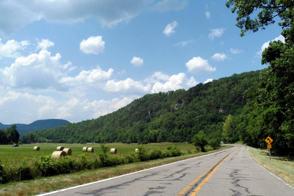
Newton County sits in the heart of the Boston Mountains, the highest and most rugged section of the Ozark Plateau. The county's terrain is its first line of defense: steep ridges, deep hollows, and narrow valleys mean that most of the land is simply not suitable for dense development, which keeps population density among the lowest in Arkansas—roughly 7,700 residents spread across 823 square miles. The elevation ranges from about 600 feet in the Buffalo River valley to over 2,500 feet at the highest ridges, which provides a natural vantage point and a cooler climate than the surrounding lowlands.
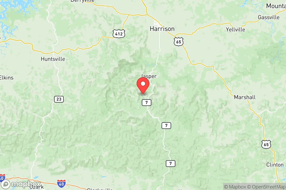
The county is defined by the Buffalo National River, which cuts through its eastern and central sections, and by the Ozark Highlands Trail, which crosses the region. Jasper, the county seat, sits at roughly 1,100 feet and is roughly 50 miles south of Harrison, 85 miles north of Conway, and about 120 miles northwest of Little Rock. That distance from major metro areas is a double-edged sword: it means no nearby urban sprawl, but it also means that supply chains and emergency services are thin. The nearest significant hospital is in Harrison (Boone County), and the closest major commercial airport is in Fayetteville, roughly 90 minutes west via Arkansas Highway 21 and U.S. 412.
For a resilience-minded reader, the key geographic advantage is the absence of any high-value target within a 100-mile radius. There are no military installations, no refineries, no major ports, and no nuclear power plants in Newton County or its immediate neighbors. The closest military base of note is Fort Chaffee, near Fort Smith, roughly 100 miles southwest, and the nearest nuclear plant is Arkansas Nuclear One near Russellville, about 70 miles southeast. Neither is close enough to pose a direct fallout risk in most plausible scenarios, but both are worth knowing about for situational awareness.
Risk profile: natural hazards, isolation, and proximity to fallout-relevant landmarks
Newton County's risks are primarily natural and logistical, not man-made. The most significant natural hazard is flash flooding in the narrow river valleys, particularly along the Buffalo River and its tributaries like Big Creek and Little Buffalo River. The county has seen historic floods, including the 1982 and 2019 events that closed roads and isolated communities for days. Tornado risk is lower than in the flatlands to the west and south, but it is not zero; the rugged terrain tends to disrupt tornado formation, though severe thunderstorms and straight-line winds are common in spring and summer.
Winter weather is a more consistent challenge. The county's elevation means ice storms are a recurring threat, and the winding, steep roads—many of which are unpaved—can become impassable for days. Power outages are common during these events, and because the county is served by rural electric cooperatives (North Arkansas Electric Cooperative and Carroll Electric), restoration times can be slower than in urban areas. Any serious relocator should plan for at least 7–14 days of self-sufficiency during winter storms, including backup heat, water storage, and food reserves.
In terms of man-made risks, the county's isolation is its greatest protection. The nearest major industrial corridor is the Arkansas River Valley, which hosts a series of natural gas processing plants and the McClellan-Kerr Arkansas River Navigation System, but those are 60–80 miles south. The closest interstate is I-40, roughly 70 miles south, and I-49 runs west of the county near Fayetteville. A major incident at either would not directly affect Newton County, though supply chain disruptions would eventually reach even this remote area. The county's location—roughly 200 miles from the nearest major refinery corridor in Tulsa and over 300 miles from Houston's refinery complex—means it is far outside any plausible fallout or blast zone from those targets.
Practical resilience for a relocator: food, water, energy, and defensibility
Water is Newton County's strongest resilience asset. The county sits atop the Springfield Plateau aquifer, and the Buffalo River watershed provides abundant surface water. Most residents rely on private wells, which typically produce excellent quality water from the Boone and St. Joe limestone formations. Spring-fed creeks are common, and the county has numerous natural springs, including the well-known springs near the community of Vendor and along the Buffalo River. For a relocator, a property with a tested well and a backup hand pump is the single most valuable resilience investment in this area.
Food security is more challenging. The county has no significant agricultural industry—the terrain is too steep for row crops—and most food is trucked in from Harrison or Fayetteville. The local food scene is limited to a few small farms, some livestock operations, and the Jasper Farmers Market, which operates seasonally. Hunting and fishing are viable supplemental food sources: the Buffalo River offers smallmouth bass and walleye, and the surrounding national forest land (the Ozark National Forest covers roughly 40% of the county) supports deer, turkey, and squirrel populations. However, a family planning on significant food self-sufficiency will need to invest in greenhouse production, root cellaring, and livestock that can handle steep, rocky pasture—this is not prime farmland.
Energy resilience is a mixed picture. The county has no natural gas lines in most areas, so heating is typically by propane, wood, or electric heat pumps. Wood heat is the most resilient option, and the county's forest resources are abundant—the Ozark National Forest and the Buffalo National River corridor provide ample firewood, though cutting it requires a permit on federal land. Solar is viable, with the county receiving roughly 4.5–5.0 peak sun hours per day, and off-grid systems are common among the area's more self-reliant residents. Propane storage of 500–1,000 gallons, combined with a wood stove and a modest solar array, is the standard resilience setup for long-term residents.
Defensibility is where Newton County excels. The terrain naturally funnels access through a handful of county roads, and the steep ridges provide excellent observation points. The county's low population density means that a relocator can achieve genuine privacy—parcels of 20–40 acres are common and affordable, with land prices typically ranging from $2,000 to $5,000 per acre depending on access and water. The nearest law enforcement is the Newton County Sheriff's Office in Jasper, with a small staff covering a vast area, so residents are expected to be their own first responders. That is a feature, not a bug, for the resilience-minded relocator, but it requires a realistic assessment of one's own capabilities.
The strategic picture: trade-offs and bottom line
Newton County offers one of the strongest resilience profiles in the central United States for a relocator willing to accept genuine rural isolation. The combination of high elevation, abundant water, low population density, and distance from strategic targets is difficult to replicate elsewhere. The trade-offs are equally real: limited employment opportunities (the largest employers are the school districts, the county government, and the Buffalo National River), a long drive for most goods and services, and a climate that demands serious winter preparedness. For a family or individual with remote work income, savings, or a home-based business, the county can be an excellent long-term strategic choice. For someone needing regular access to urban amenities or specialized healthcare, it will feel remote—because it is. The bottom line: Newton County is not a place to land unprepared, but for those who arrive with skills, supplies, and a realistic plan, it offers a defensible, self-sufficient lifestyle that few other American counties can match.

* Values derived from national, state, county, city and local statistics and may differ in a specific area. Last updated: 2026-10-26T00:53:43.000Z
Narrative content on this page is AI-generated and may contain mistakes. Verify any details that matter before acting on them.
ReloMaps may earn a commission from affiliate links at no extra cost to you.

