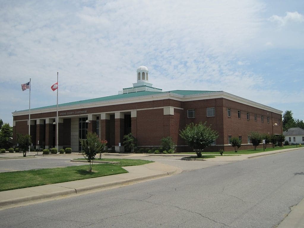
Photo: Wikipedia
Strategic Assessment of Greene County
Workable tactical position. Some exposure to population density or targets, but generally defensible in a crisis.
What does the Strategic Assessment tell us?
Our Strategic Assessment grades tactical survivability of an area. Major population centers, military targets, fallout zones, natural disasters, and border exposure all drive risk — lower exposure means a more defensible position in a crisis.
This is heavily inspired by Joel Skousen's Strategic Relocation book. Highly recommended you checkout the book ($)What does this tell us?
Our Strategic Assessment grades tactical survivability of an area. Major population centers, military targets, fallout zones, natural disasters, and border exposure all drive risk — lower exposure means a more defensible position in a crisis.
This is heavily inspired by Joel Skousen's Strategic Relocation book. Highly recommended you checkout the book ($)Strategic Pillars

Key Distances
Strategic Assessment Analysis
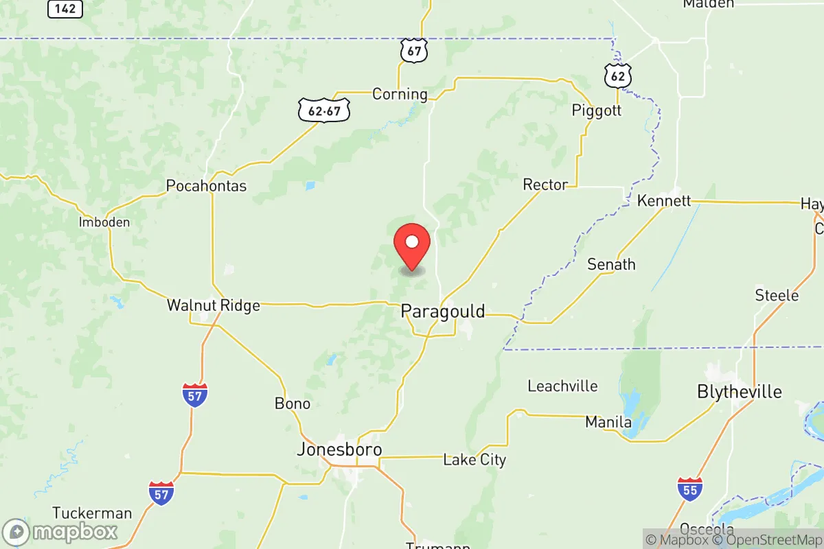
Greene County, Arkansas, offers a compelling strategic position for relocators prioritizing resilience and self-sufficiency, balancing rural access with proximity to regional infrastructure. Anchored by the county seat of Paragould and the smaller town of Marmaduke, the area sits in the northeastern corner of the state, roughly 70 miles northwest of Memphis, Tennessee, and 140 miles northeast of Little Rock. This placement provides a buffer from major urban centers while still allowing access to medical, supply, and transportation networks, making it a viable option for those seeking a prepared lifestyle without complete isolation.
Geographic position and natural advantages for long-term stability
Greene County's location in the Arkansas Delta region offers distinct geographic benefits for resilience. The area is characterized by flat to gently rolling terrain, with the Crowley's Ridge geological formation running through its western edge, providing slightly elevated ground and varied soil types. This ridge, a unique loess-covered upland, offers natural drainage advantages over the surrounding floodplains, making it more suitable for building and agriculture. The county is bisected by the St. Francis River and its tributaries, including the Cache River, which supply ample surface water. Annual rainfall averages around 50 inches, supporting robust local farming—primarily soybeans, rice, corn, and cotton—which is a key asset for food security. The climate is humid subtropical, with hot summers and mild winters, allowing for year-round growing seasons with proper planning. For a relocator, this means the land itself can sustain basic food production without extreme weather events like hurricanes or blizzards, though tornadoes are a recurring seasonal risk.
Risks, exposures, and proximity to fallout-relevant landmarks
While Greene County avoids the direct fallout risks of major metropolitan areas, it is not without exposure. The primary man-made concern is its proximity to the Mississippi River corridor, which hosts several chemical plants, refineries, and industrial facilities near Memphis, including the Valero Memphis Refinery and the Buckeye Partners pipeline terminals. A major incident at these sites could affect air quality or water supplies downwind or downstream, though the 70-mile distance provides a significant buffer. More locally, the county contains several rail lines used for freight transport, including those carrying hazardous materials through Paragould and Marmaduke. Natural hazards are the more immediate concern: Greene County lies within Tornado Alley's southern extension, with a history of strong tornadoes, including the devastating EF4 that struck Marmaduke in 2021. Flooding along the St. Francis and Cache rivers is also a periodic risk, particularly in low-lying areas near the river bottoms. For a relocator, the strategic takeaway is that the area's risks are primarily natural and manageable with proper preparation—unlike the persistent man-made threats near coastal ports or nuclear facilities. There are no active nuclear power plants within 100 miles; the closest is the Arkansas Nuclear One plant near Russellville, roughly 180 miles southwest, which is far enough to be a secondary concern.
Practical resilience for a relocator: food, water, energy, and defensibility
For someone serious about self-sufficiency, Greene County offers strong practical foundations. Food security is a standout: the county's agricultural base means local farmers' markets, bulk grain suppliers, and livestock operations are accessible. Paragould hosts several feed stores and farm supply co-ops, and the surrounding rural areas have ample acreage for private gardens, orchards, and small-scale animal husbandry. Water availability is excellent, with the Alluvial Aquifer underlying much of the region, providing reliable well water at moderate depths (typically 50-150 feet). Surface water from the St. Francis and Cache rivers can serve as a backup, though treatment would be necessary. Energy resilience is mixed: the grid is served by Craighead Electric Cooperative and Entergy Arkansas, with above-average reliability for a rural area, but outages during storms are common. Solar potential is moderate—the region averages about 4.5 peak sun hours per day—and backup generators are a practical investment. Wood heating is viable given the surrounding timberland. Defensibility is a relative strength: the county's low population density (roughly 45,000 residents across 580 square miles) means fewer people competing for resources in a crisis. Paragould, as the largest town, provides a centralized supply hub, but the rural areas offer natural isolation via farm roads and wooded patches. The local law enforcement presence is modest—the Greene County Sheriff's Office and Paragould Police Department cover the area—so community-based security networks would be essential for long-term stability.
The overall strategic picture for Greene County is one of balanced opportunity. It avoids the high-risk profiles of coastal zones, major industrial corridors, and dense urban centers, while still offering access to Memphis for specialized medical care or bulk supplies. The combination of fertile soil, abundant water, and a climate conducive to year-round agriculture makes it a strong candidate for a relocator focused on food and water independence. The primary trade-offs are the tornado and flood risks, which require proactive mitigation—storm shelters, flood insurance, and elevated building sites—and the need to build local social ties for mutual aid. For a conservative-leaning audience valuing self-reliance, community, and a slower pace, Greene County represents a practical, defensible choice that doesn't require sacrificing all modern conveniences. It's not a bunker location, but a livable, resilient base for those willing to prepare.

* Values derived from national, state, county, city and local statistics and may differ in a specific area. Last updated: 2026-07-03T05:03:46.000Z
Narrative content on this page is AI-generated and may contain mistakes. Verify any details that matter before acting on them.
ReloMaps may earn a commission from affiliate links at no extra cost to you.

