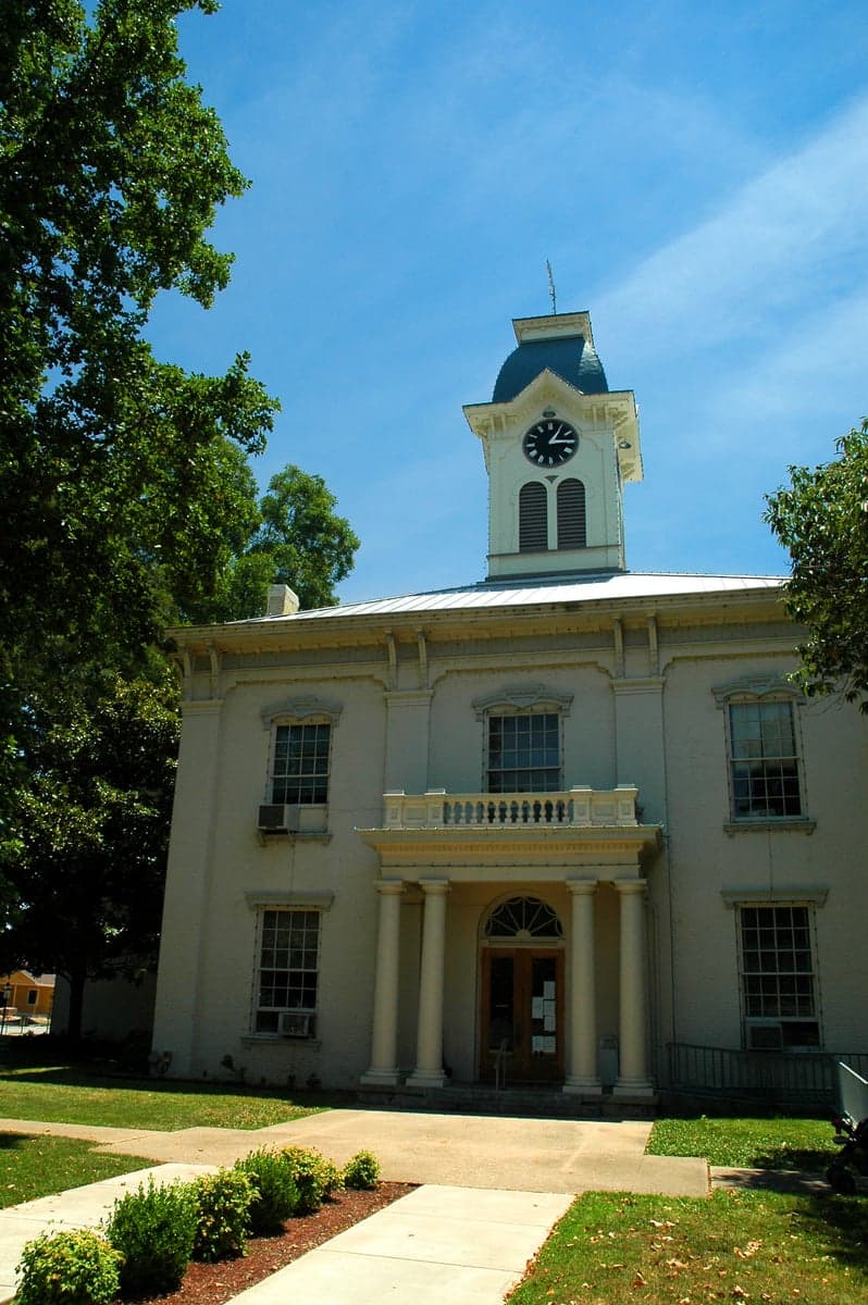
Photo: Wikipedia
Strategic Assessment of Crawford County
Workable tactical position. Some exposure to population density or targets, but generally defensible in a crisis.
What does the Strategic Assessment tell us?
Our Strategic Assessment grades tactical survivability of an area. Major population centers, military targets, fallout zones, natural disasters, and border exposure all drive risk — lower exposure means a more defensible position in a crisis.
This is heavily inspired by Joel Skousen's Strategic Relocation book. Highly recommended you checkout the book ($)What does this tell us?
Our Strategic Assessment grades tactical survivability of an area. Major population centers, military targets, fallout zones, natural disasters, and border exposure all drive risk — lower exposure means a more defensible position in a crisis.
This is heavily inspired by Joel Skousen's Strategic Relocation book. Highly recommended you checkout the book ($)Strategic Pillars

Key Distances
Strategic Assessment Analysis
Crawford County, Arkansas, offers a compelling strategic position for relocators prioritizing resilience and self-sufficiency, combining the natural defenses of the Arkansas River Valley with a location that buffers against many of the risks found in larger metropolitan areas. The county seat, Van Buren, and its larger neighbor, Fort Smith (located mostly in Sebastian County), anchor a region that has historically maintained a distinct identity from the state's major population centers. For a family or individual weighing disaster readiness and long-term security, Crawford County presents a balanced mix of accessible resources and protective geography, though not without its own specific exposures.
Geographic position and natural advantages for long-term security
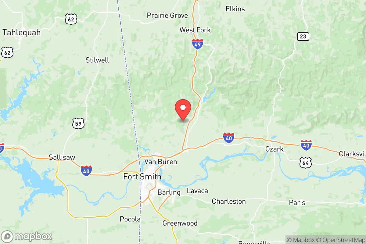
Crawford County sits at the crossroads of the Arkansas River and the foothills of the Boston Mountains, a location that offers several inherent advantages. The county is part of the Ozark Plateau, a region characterized by rolling hills, abundant freshwater springs, and a lower population density than the flat, sprawling plains of eastern Arkansas or the dense corridors of the I-30/I-40 junction near Little Rock. The immediate area around Cedarville and Mountainburg provides rural buffer zones and varied terrain that can complicate large-scale movement—a factor in both natural disaster scenarios and man-made disruptions. The Arkansas River, while a major transportation artery, also serves as a reliable source of water for the valley, though careful management of floodplain development is essential. The Boston Mountain escarpment to the north and east offers potential for elevated retreats and cooler microclimates, reducing the extreme heat risks more common in southern Arkansas. For a relocator focused on self-sufficiency, the county’s mix of productive bottomland along the river and forested uplands provides a range of micro-environments suitable for diversified food production, timber, and water catchment.
Risks, exposures, and proximity to fallout-relevant landmarks
No strategic analysis is complete without a clear-eyed look at what makes Crawford County vulnerable. The most significant man-made risk comes from the Arkansas Nuclear One power plant, located roughly 40 miles south-southeast near Russellville in Pope County. While this distance offers a substantial buffer against a catastrophic release, it places the county within a plausible fallout plume zone under certain wind conditions, warranting attention for relocators with radiation preparedness concerns. Additionally, the county lies within 150 miles of the McAlester Army Ammunition Plant in Oklahoma (a major conventional munitions storage and demilitarization site) and about 200 miles from the large refinery and petrochemical complex around Tulsa. On the natural disaster front, the area is subject to tornado activity, with the corridor from Fort Smith to Van Buren historically seeing occasional severe outbreaks. The May 2024 tornadoes that struck north of the county serve as a reminder of this risk. Riverine flooding along the Arkansas River is a periodic hazard, particularly in low-lying areas near Van Buren and the southern reaches of the county. Earthquake risk, while present due to the New Madrid Seismic Zone about 250 miles east, is considered moderate compared to the Mississippi River valley. Notably, Crawford County is not within any major military training area flight paths or near any major known targets for strategic attack, which provides a degree of security absent in many other regions of the southern U.S.
Practical resilience for a relocator: food, water, energy, and defensibility
Food and agriculture: Crawford County maintains a strong agricultural base, with local farms producing hay, cattle, poultry, and row crops. The farmers' markets in Van Buren and neighboring Alma (in Crawford County) provide direct access to local produce during growing seasons, and the presence of regional food processors (such as the poultry operations in Springdale to the north) means a robust food supply chain that is less dependent on long-distance trucking than in purely urban areas. For those pursuing home gardening, the growing season is approximately 190 days, with average annual rainfall near 45 inches—enough to support dryland crops in most years.
Water security: The Arkansas River is the primary surface water source, but the county also features numerous small creeks and springs, particularly in the higher elevations near Mountainburg and Rudy. Groundwater from the Ozark aquifer is generally reliable for private wells, though drilling depths vary significantly. Municipal water in Van Buren is treated and sourced from the river, but a self-sufficient relocator would likely prioritize a property with a private well or year-round creek access. The county's average rainfall provides consistent recharge, reducing drought vulnerability compared to western states.
Energy infrastructure: The area is served by the Southwestern Electric Power Company (SWEPCO) and local cooperatives, with the grid drawing from a mix of natural gas, coal, and nuclear sources from the region. Off-grid potential is moderate: the wooded hills offer adequate firewood for heating in the winter, and solar exposure is good—particularly on south-facing slopes—though shading from dense forest can be an issue. Natural gas lines run along major corridors, but many rural properties use propane for heating and cooking. The presence of the Arkansas Nuclear One plant within 50 miles provides a double-edged sword: it is a stable baseload power source, but also a single point of failure for regional grid stability under emergency conditions.
Defensibility and community cohesion: The county's layout, with small towns dispersed among rural land, naturally lends itself to a decentralized social structure that can be advantageous during disruptions. The population of roughly 63,000 is distributed across Van Buren, Alma, Cedarville, Mountainburg, Mulberry, and unincorporated communities. This spread reduces the concentration of people found in a single dense city, making the area less vulnerable to cascading failures. Community ties tend to be strong, with a culture of mutual aid and preparedness that is more common in rural Arkansas than in many suburban or urban settings. The terrain offers natural chokepoints along the river valley and mountain passes, which could enhance local security in an extended emergency scenario.
Overall strategic picture for a relocator
Crawford County occupies a strategic middle ground for the disaster-aware relocator. It offers a strong balance of accessible resources, manageable natural risks, and a notable buffer from major man-made threats, while still being within a reasonable drive (about two hours) of the medical and logistical centers of Fayetteville, Springdale, and Tulsa. The primary trade-off is the presence of a nuclear facility within a day's plume travel distance—a risk that requires active mitigation planning but is far less immediate than living next to a major refinery, a military base like Fort Hood, or within the heavy industrial corridor of the Gulf Coast. For a family or individual who values self-reliance, affordable land (with prices significantly lower than Benton County or Washington County), and a community that still operates on a human scale, Crawford County presents a solid option—provided they invest in basic preparedness: a private well, redundant heating, and a realistic tornado shelter plan. It is not a fortress, but it is a defensible, productive, and underappreciated corner of Arkansas that merits serious consideration in any long-term resilience calculation.

* Values derived from national, state, county, city and local statistics and may differ in a specific area. Last updated: 2026-06-22T06:15:14.000Z
Narrative content on this page is AI-generated and may contain mistakes. Verify any details that matter before acting on them.
ReloMaps may earn a commission from affiliate links at no extra cost to you.

