Photo: Wikipedia
Strategic Assessment of Carroll County
Strong survivability profile. Good buffer from population centers, with manageable environmental and tactical risks.
What does the Strategic Assessment tell us?
Our Strategic Assessment grades tactical survivability of an area. Major population centers, military targets, fallout zones, natural disasters, and border exposure all drive risk — lower exposure means a more defensible position in a crisis.
This is heavily inspired by Joel Skousen's Strategic Relocation book. Highly recommended you checkout the book ($)What does this tell us?
Our Strategic Assessment grades tactical survivability of an area. Major population centers, military targets, fallout zones, natural disasters, and border exposure all drive risk — lower exposure means a more defensible position in a crisis.
This is heavily inspired by Joel Skousen's Strategic Relocation book. Highly recommended you checkout the book ($)Strategic Pillars

Key Distances
Strategic Assessment Analysis
Carroll County, Arkansas, offers a compelling strategic position for those prioritizing disaster readiness and self-sufficiency, balancing genuine geographic advantages with real-world risks that any serious relocator must weigh. Nestled in the Ozark Mountains along the Arkansas-Missouri border, the county’s primary assets are its distance from major metropolitan targets and its rugged, defensible terrain. However, proximity to a major regional airport and a key interstate corridor introduces vulnerabilities that demand careful consideration. This assessment breaks down the area’s resilience profile for a conservative-leaning audience focused on practical preparedness.
Geographic position and natural advantages for self-sufficiency
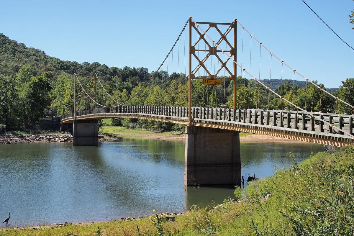
Carroll County’s location in the Ozark highlands provides a natural buffer against many of the threats that plague coastal or plains regions. The county seat, Berryville, and the larger town of Eureka Springs sit atop a dissected plateau of steep ridges and narrow valleys, terrain that inherently limits large-scale movement and offers numerous defensible positions. Elevations across the county range from roughly 1,000 to over 2,000 feet, which reduces flood risk compared to river-bottom communities—though flash flooding in hollows remains a concern. The area is far removed from any major nuclear power plant (the nearest is Arkansas Nuclear One near Russellville, about 100 miles south) and from the nation’s primary refinery corridors. The closest major military installation is Fort Chaffee near Fort Smith, roughly 90 miles southwest, which is a training center rather than a strategic nuclear target. This distance from high-value targets is a significant plus for fallout avoidance. The county also boasts abundant natural water sources, including the White River and Table Rock Lake (which extends into Missouri), providing reliable surface water for drinking and irrigation. The limestone karst topography means groundwater is accessible via wells in many areas, though depth and yield vary considerably by specific property.
Risks, exposures, and proximity to fallout-relevant landmarks
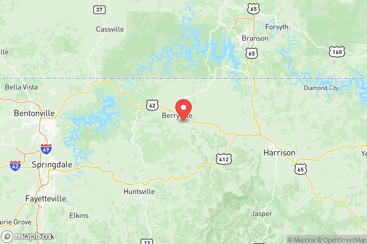
While Carroll County avoids the worst of man-made threats, it is not immune to risks that a preparedness-minded relocator must acknowledge. The most significant exposure is Northwest Arkansas National Airport (XNA) in nearby Highfill, about 30 miles southwest of Berryville. XNA is a growing commercial hub serving the Bentonville-Fayetteville corridor, and while not a primary military target, it could be a secondary target or a point of chaos during a national emergency. The I-49 corridor, which runs just west of the county, is a major north-south evacuation and supply route connecting to Joplin, Missouri, and Fort Smith. In a crisis, this highway could become a funnel for refugees from larger cities like Tulsa (about 110 miles west) or Kansas City (about 180 miles north). The county’s own population is small—around 28,000—but the tourist draw of Eureka Springs means seasonal population spikes that could complicate local resource availability. Natural hazards include tornadoes (the county sits on the northern fringe of Tornado Alley), severe thunderstorms, and occasional ice storms that can knock out power for days. The region’s heavy forestation also presents a wildfire risk during dry periods, though the humid climate typically mitigates this. There are no major refineries, chemical plants, or nuclear facilities within a 50-mile radius, which is a strong positive for fallout and industrial accident avoidance.
Practical resilience for a relocator: food, water, energy, and defensibility
For someone serious about self-sufficiency, Carroll County offers a mixed but workable foundation. Water availability is the strongest asset: the White River and its tributaries, along with Table Rock Lake, provide ample surface water, and many rural properties have viable well water. The county’s agricultural heritage means decent soil in the valley bottoms for gardening, though the rocky hillsides require raised beds or terracing. Local food production is supported by a network of small farms, farmers’ markets in Berryville and Eureka Springs, and a strong hunting culture (deer, turkey, and small game are abundant). Energy resilience is more challenging. The electric grid is served by Ozarks Electric Cooperative, which has a mixed reliability record during storms. Solar potential is moderate—the area gets about 200 sunny days per year, less than the Southwest but enough for a well-sized off-grid system with battery backup. Wood heating is a practical option given the extensive forests, and many homes already have wood stoves or fireplaces. Defensibility is excellent in the rugged terrain: the narrow, winding roads (especially on the east side of the county near the Kings River area) create natural chokepoints, and the low population density means fewer neighbors to worry about. However, the same terrain that aids defense also complicates travel and supply runs, especially in winter. The county has a strong tradition of local governance and community self-reliance, with a conservative political culture that generally supports Second Amendment rights and minimal regulation—factors that matter to many relocators.
The overall strategic picture for Carroll County is one of solid but not exceptional resilience. Its greatest strengths are its distance from high-value targets, abundant water, and defensible terrain. Its weaknesses are the proximity to a growing regional airport and interstate corridor, seasonal tourist influxes, and the inherent challenges of mountain living (ice storms, limited road access). For a family or individual willing to invest in off-grid energy, well water, and food storage, the county offers a realistic base for long-term preparedness. It is not a remote wilderness—you are still within a few hours of Walmart and medical care in Berryville or Eureka Springs—but it provides a genuine buffer from the worst of a national crisis. The key is to choose a property wisely: avoid flood-prone hollows, verify water sources, and ensure road access that won’t be cut off by a single downed tree. If those boxes are checked, Carroll County ranks as a strong contender for the conservative relocator seeking a balanced mix of security and practicality.

* Values derived from national, state, county, city and local statistics and may differ in a specific area. Last updated: 2026-10-23T18:49:30.000Z
Narrative content on this page is AI-generated and may contain mistakes. Verify any details that matter before acting on them.
ReloMaps may earn a commission from affiliate links at no extra cost to you.

