Photo: Wikipedia
Strategic Assessment of Baxter County
Strong survivability profile. Good buffer from population centers, with manageable environmental and tactical risks.
What does the Strategic Assessment tell us?
Our Strategic Assessment grades tactical survivability of an area. Major population centers, military targets, fallout zones, natural disasters, and border exposure all drive risk — lower exposure means a more defensible position in a crisis.
This is heavily inspired by Joel Skousen's Strategic Relocation book. Highly recommended you checkout the book ($)What does this tell us?
Our Strategic Assessment grades tactical survivability of an area. Major population centers, military targets, fallout zones, natural disasters, and border exposure all drive risk — lower exposure means a more defensible position in a crisis.
This is heavily inspired by Joel Skousen's Strategic Relocation book. Highly recommended you checkout the book ($)Strategic Pillars

Key Distances
Strategic Assessment Analysis
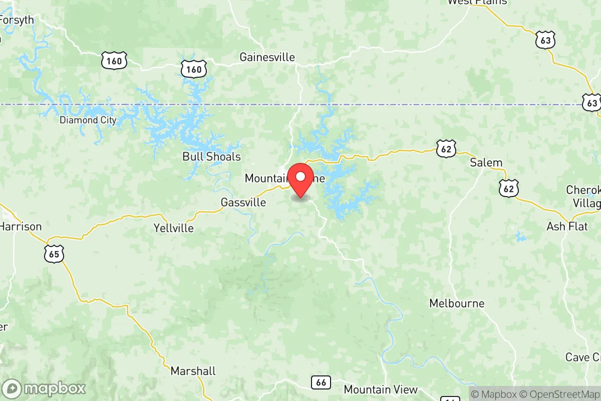
Baxter County, Arkansas, offers a compelling strategic profile for relocators prioritizing resilience and self-sufficiency, combining a strong geographic buffer from major metropolitan fallout zones with a surprisingly robust local infrastructure. Anchored by the city of Mountain Home and the Bull Shoals Lake region, the area sits roughly 150 miles from both the Little Rock metro and the Springfield, Missouri, area, placing it outside the immediate blast and fallout radius of any single high-value target. This distance, combined with the county’s position in the Ozark Mountains, provides a natural layer of defense that few other regions in the central United States can match.
Geographic position and natural advantages for long-term stability
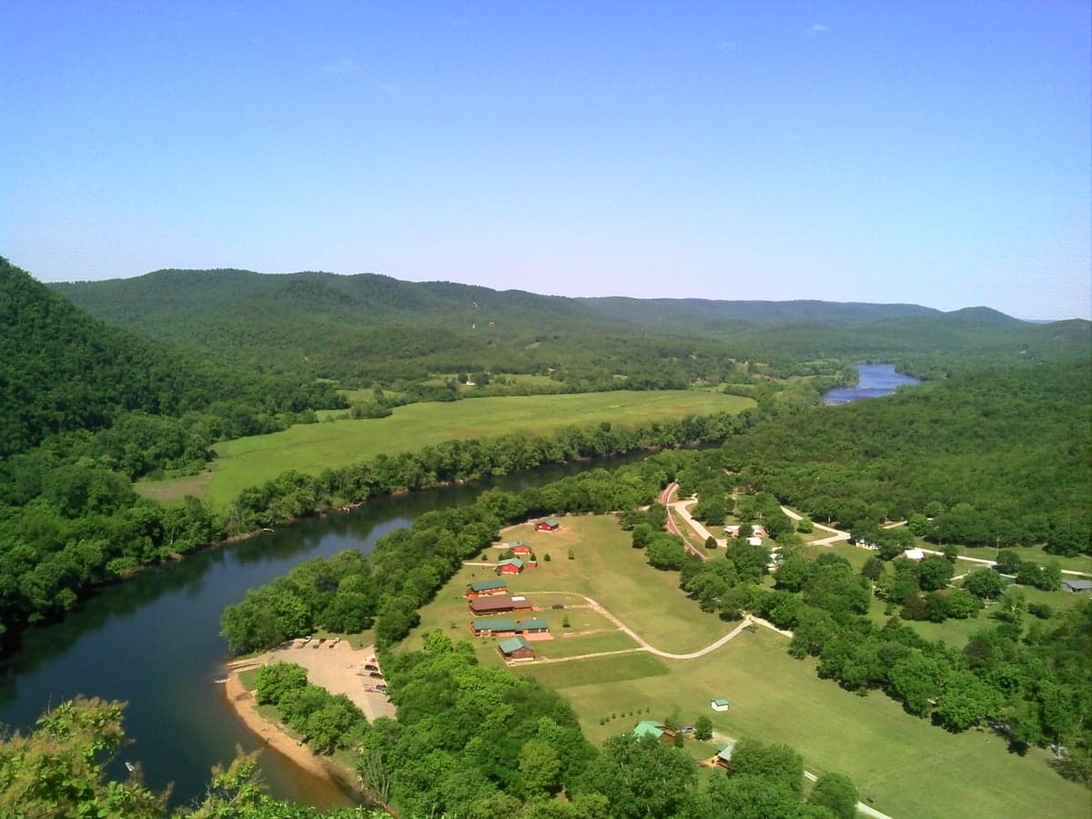
Baxter County’s location in the north-central Arkansas Ozarks is its single greatest strategic asset. The terrain is rugged, with steep hills, narrow valleys, and dense hardwood forests that naturally limit large-scale movement and provide excellent cover. The county sits atop the Springfield Plateau, a karst region with abundant freshwater springs and deep groundwater aquifers, making water access far more reliable than in the flat, drought-prone plains to the west. The two major reservoirs—Bull Shoals Lake (covering over 45,000 acres) and Norfolk Lake (22,000 acres)—are both U.S. Army Corps of Engineers projects with controlled releases, ensuring a year-round surface water supply even during dry spells. The White River, which flows out of Bull Shoals Dam, is a cold-water trout stream that supports a year-round fishery and provides a secondary water source. The county’s elevation—Mountain Home sits at roughly 850 feet—offers a modest but meaningful advantage over the Mississippi River Valley in terms of flood risk and air quality during widespread events. The Ozark Mountains also create a microclimate that moderates extreme temperatures, with summer highs rarely exceeding 95°F and winter lows seldom dropping below 10°F, reducing the strain on heating and cooling systems during grid outages.
Risks, exposures, and proximity to fallout-relevant landmarks
While Baxter County is far from the highest-risk zones, it is not immune to man-made and natural threats. The most significant man-made risk comes from the Arkansas Nuclear One plant in Russellville, roughly 90 miles south-southwest. A catastrophic failure there—though statistically unlikely—could produce a radioactive plume that, under prevailing southerly winds, would reach Baxter County within 6–8 hours. The county’s hilly terrain would provide some shielding, but residents should have a plan for sheltering in place or temporary evacuation. On the natural hazard side, the New Madrid Seismic Zone, centered 200 miles to the east, poses a low-probability but high-consequence earthquake risk. A major quake (magnitude 7.0+) could damage the Bull Shoals Dam, though the Corps of Engineers has reinforced it to modern seismic standards. Tornado risk is moderate—Baxter County averages 2–3 tornado warnings per year, with the worst events typically being EF-1 or EF-2. The county’s rugged terrain actually reduces tornado intensity compared to the flat plains to the west, as hills disrupt the low-level rotation. There are no major military bases, refineries, or chemical plants within 50 miles, which is a significant positive. The closest major military installation is Fort Leonard Wood in Missouri, 120 miles north, and the nearest refinery is the Delek Refinery in El Dorado, Arkansas, 200 miles south. This distance from high-value targets dramatically reduces the likelihood of Baxter County being a secondary target in a conflict scenario.
Practical resilience for a relocator: food, water, energy, and defensibility
For a relocator serious about self-sufficiency, Baxter County offers a strong baseline that requires only modest upgrades. Water is abundant: the Bull Shoals and Norfolk Lake systems provide millions of acre-feet of storage, and the county’s karst geology means shallow wells (50–150 feet) are common and productive. Most rural properties have access to a private well, and the county’s water table is replenished by 45–50 inches of annual rainfall. Food production is viable but not effortless. The growing season runs roughly April through October, with fertile limestone-based soils in the valleys. Local farmers’ markets in Mountain Home and Gassville are active, and the county has a strong tradition of home gardening and small-scale livestock (chickens, goats, cattle). The Ozarks are known for abundant deer and turkey populations, and the White River offers year-round trout fishing. Energy is a mixed picture. The grid is served by North Arkansas Electric Cooperative, which has a decent reliability record but is vulnerable to ice storms in winter. Solar potential is good—the area averages 4.5–5.0 peak sun hours per day—and many rural homes already have backup propane or wood stoves. The county has no natural gas distribution outside of Mountain Home, so propane tanks are common. Defensibility is excellent by Midwest standards. The hilly terrain and winding roads create natural chokepoints, and the low population density (roughly 40 people per square mile) means few neighbors to worry about. The county’s two main highways—U.S. 62 and U.S. 412—are two-lane roads that can be easily monitored. The sheriff’s office is well-regarded locally, with response times in rural areas averaging 15–20 minutes. For a relocator, the key practical steps would be: drill a well if not already present, install a solar array with battery backup (or a generator), stockpile at least three months of food and medical supplies, and establish a relationship with a local farmer or hunting club for protein sourcing.
The overall strategic picture for Baxter County is one of strong but not absolute resilience. It offers a rare combination of geographic isolation from major fallout zones, abundant natural water resources, and a terrain that naturally limits external threats. The primary weaknesses are the moderate earthquake risk from the New Madrid zone and the distant but real nuclear plant exposure to the south. For a relocator who is willing to invest in off-grid water and power systems, and who understands that the Ozarks require active land management (firewood, fencing, wildlife control), Baxter County represents one of the better options in the central United States for a long-term, self-sufficient lifestyle. It is not a bunker—it is a working landscape that rewards preparation and community integration. The county’s small towns, particularly Mountain Home (population 12,000) and Cotter (population 900), have functional local economies, a hospital, and a sense of mutual aid that is increasingly rare in modern America. For the conservative-leaning relocator who values independence, privacy, and a tangible connection to the land, Baxter County deserves serious consideration.

* Values derived from national, state, county, city and local statistics and may differ in a specific area. Last updated: 2026-06-16T02:27:40.000Z
Narrative content on this page is AI-generated and may contain mistakes. Verify any details that matter before acting on them.
ReloMaps may earn a commission from affiliate links at no extra cost to you.

