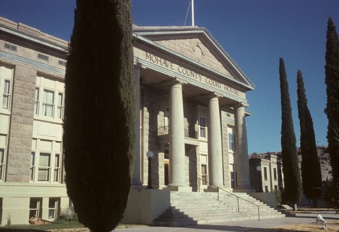
Photo: Wikipedia
Strategic Assessment of Mohave County
Workable tactical position. Some exposure to population density or targets, but generally defensible in a crisis.
What does the Strategic Assessment tell us?
Our Strategic Assessment grades tactical survivability of an area. Major population centers, military targets, fallout zones, natural disasters, and border exposure all drive risk — lower exposure means a more defensible position in a crisis.
This is heavily inspired by Joel Skousen's Strategic Relocation book. Highly recommended you checkout the book ($)What does this tell us?
Our Strategic Assessment grades tactical survivability of an area. Major population centers, military targets, fallout zones, natural disasters, and border exposure all drive risk — lower exposure means a more defensible position in a crisis.
This is heavily inspired by Joel Skousen's Strategic Relocation book. Highly recommended you checkout the book ($)Strategic Pillars

Key Distances
Strategic Assessment Analysis
Mohave County, Arizona, offers a compelling strategic position for relocation-minded individuals and families who prioritize resilience and self-sufficiency, balancing isolation from major metropolitan fallout zones with access to critical infrastructure. Stretching from the Colorado River at the Nevada border to the high desert near the Grand Canyon, the county’s roughly 13,000 square miles provide a low-density buffer against cascading urban disruptions, while its location along Interstate 40 and U.S. Route 93 connects it to regional supply chains without being a primary target. The county’s population of roughly 220,000 is concentrated in the river communities of Lake Havasu City, Bullhead City, and Kingman, leaving vast stretches of open land that support a self-reliant lifestyle.
Geographic position and natural advantages for long-term security
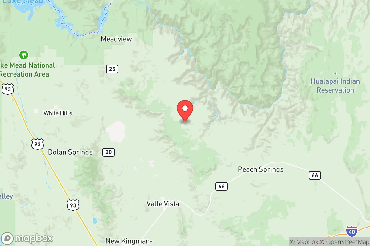
Mohave County’s geography is its strongest asset for resilience. The county sits in the Mojave Desert at elevations ranging from 500 feet along the Colorado River to over 8,000 feet in the Hualapai Mountains, offering diverse microclimates and water access via the Colorado River and Lake Havasu, a 45-mile-long reservoir that provides a reliable surface water source. The region is far from major strategic targets: Las Vegas is 90 miles west, Phoenix is 200 miles southeast, and Los Angeles is 300 miles southwest, placing Mohave County outside the primary blast and fallout zones of those metropolitan areas. The county’s terrain—rugged mountains, deep canyons, and wide valleys—naturally limits large-scale movement, which can be an advantage for community defense and resource control. The Hualapai Mountains and Cerbat Mountains offer defensible high ground with forested areas that support hunting and timber, while the Colorado River corridor provides a natural barrier to the west. For a relocator, the ability to choose between low-elevation riverfront property with irrigation potential or higher-elevation sites with cooler temperatures and forest cover is a practical advantage not found in most desert counties.
Risks, exposures, and proximity to fallout-relevant landmarks
While Mohave County avoids the worst of urban targeting, it is not without strategic exposures. The county contains the Davis Dam and Parker Dam, both critical hydroelectric and water-control structures on the Colorado River; a major failure or attack on these dams could disrupt water and power for millions downstream, though the immediate impact on Mohave County residents would be limited to potential flooding in low-lying areas near the river. The county also hosts the Mohave Generating Station (a coal-fired plant near Laughlin, Nevada) and the Palo Verde Nuclear Generating Station is roughly 150 miles southeast near Tonopah, Arizona—outside the county but within a plausible fallout plume under certain wind conditions. The Kingman Army Airfield, a former WWII training base now used for general aviation and storage, is a minor military asset but not a high-value target. Interstate 40, which runs through Kingman, is a key east-west logistics corridor that could become a chokepoint or target during a conflict, but its traffic is manageable compared to I-10 or I-15. Natural risks include extreme heat (summer highs above 110°F in the river valleys), flash flooding in washes, and wildfire in the higher-elevation forests, particularly around the Hualapai Mountains and Mount Tipton. Earthquake risk is low, but the region is seismically active enough to warrant attention to building codes near the Colorado River fault zones.
Practical resilience for a relocator: food, water, energy, and defensibility
For a family or individual serious about self-sufficiency, Mohave County offers a mixed but workable picture. Water is the county’s most critical resource: the Colorado River and Lake Havasu provide abundant surface water, but groundwater in the desert basins is limited and often deep (200-500 feet wells are common). Residents with riverfront or canal-access property have a clear advantage; those in the Kingman or Wikieup areas must rely on wells or hauled water. The county’s agricultural sector is small—mostly hay, alfalfa, and livestock near the river—so local food production is not robust, but the climate supports year-round gardening with irrigation, and the high desert allows for dryland farming of grains and beans in wetter years. Energy is a strength: Mohave County has some of the best solar potential in the U.S., with over 300 sunny days per year, and wind resources in the Hualapai Mountains and near Wikieup are viable for small turbines. The county’s grid is connected to the Western Interconnection, but distributed solar with battery storage is practical and increasingly affordable. For defensibility, the county’s low population density (roughly 17 people per square mile) and rugged terrain make it difficult for large groups to operate without local knowledge. The Kingman area has a strong gun culture and a network of off-grid homesteaders, while the Lake Havasu City community is more suburban but has active prepper and survivalist groups. Law enforcement presence is thin outside the main towns—the Mohave County Sheriff’s Office covers the entire county with about 200 deputies—so personal security and community cooperation are essential. Medical infrastructure is limited: Kingman Regional Medical Center is the only full-service hospital, with a Level III trauma center; Bullhead City has a smaller hospital; and Lake Havasu City has a 120-bed facility. For serious emergencies, evacuation to Las Vegas or Phoenix may be necessary, which is a vulnerability in a prolonged crisis.
The overall strategic picture for Mohave County is one of strong geographic insulation tempered by practical limitations in water and medical access. For a relocator who can secure a property with river or well water, invest in solar power, and build a local network, the county offers one of the better balances of isolation and access in the Southwest. The presence of the Colorado River as a reliable water source, combined with the county’s distance from major targets and its low population density, makes it a defensible long-term base. However, the extreme summer heat, limited local food production, and thin medical infrastructure require serious advance planning. For those willing to adapt to desert living and invest in infrastructure, Mohave County represents a viable, if demanding, strategic relocation option.

* Values derived from national, state, county, city and local statistics and may differ in a specific area. Last updated: 2026-06-23T07:01:52.000Z
Narrative content on this page is AI-generated and may contain mistakes. Verify any details that matter before acting on them.
ReloMaps may earn a commission from affiliate links at no extra cost to you.

