
Photo: Wikipedia
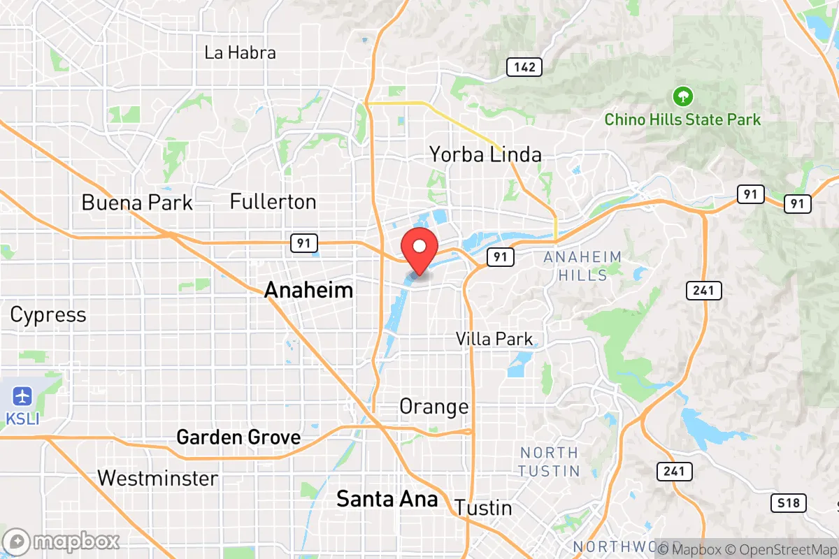
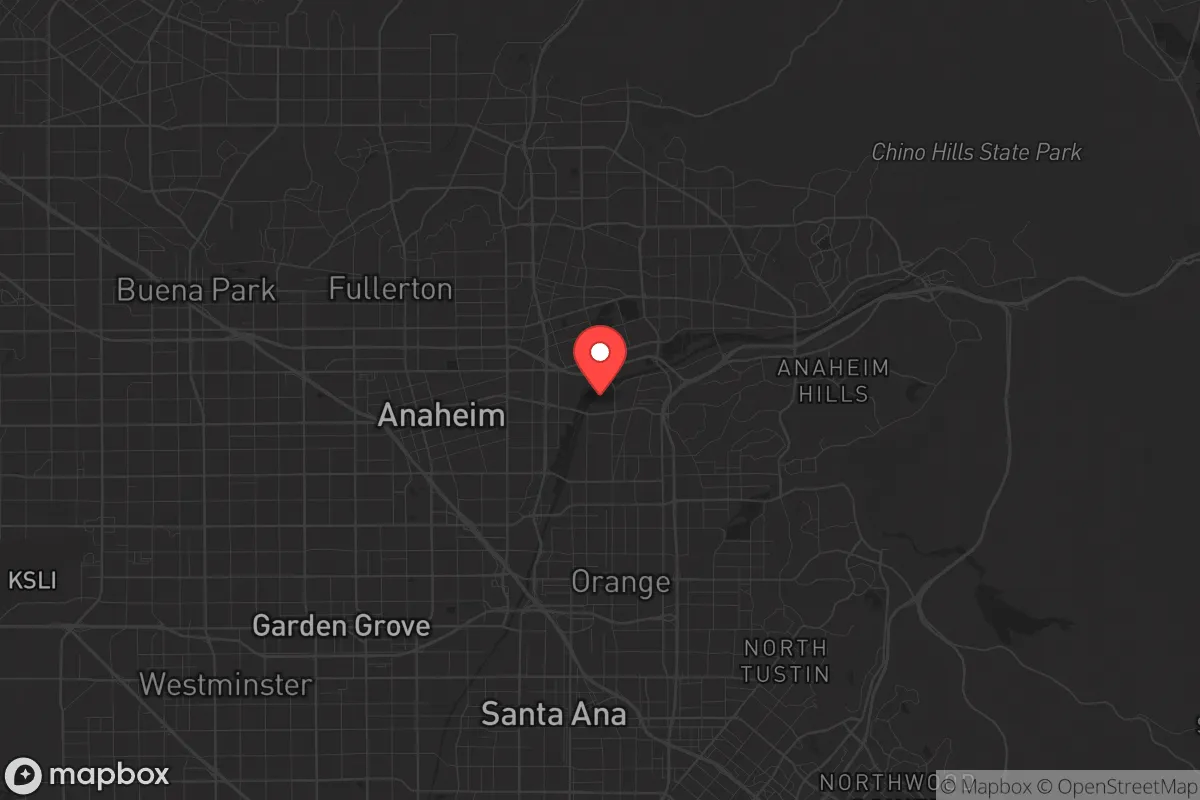
Strategic Assessment of Anaheim, CA
High tactical risk. This location is likely close to major population centers, strategic targets, or sits in a high-disaster corridor. A retreat property and careful exit planning is required.
What does the Strategic Assessment tell us?
Our Strategic Assessment grades tactical survivability of an area. Major population centers, military targets, fallout zones, natural disasters, and border exposure all drive risk — lower exposure means a more defensible position in a crisis.
This is heavily inspired by Joel Skousen's Strategic Relocation book. Highly recommended you checkout the book ($)What does this tell us?
Our Strategic Assessment grades tactical survivability of an area. Major population centers, military targets, fallout zones, natural disasters, and border exposure all drive risk — lower exposure means a more defensible position in a crisis.
This is heavily inspired by Joel Skousen's Strategic Relocation book. Highly recommended you checkout the book ($)Strategic Pillars

Key Distances
Regional Safe Places
Below is our recommended "safe zones" in California and the surrounding area based on our strategic heuristics. For most people, it's unrealistic to live in a “safe zone” full-time due to work, family or other personal reasons. They tend to be more rural. However, many of these areas are perfect for second homes and retreat properties that double as a vacation home or even a short-term rental.


Important Note: For informational purposes only. This does not mean nothing bad ever happens in the green zones. Please use common sense. This is based on public data and modeled with AI. We tried to take a conservative approach but mistakes happen. We update this regularly as new information becomes available.
Solar Generator Recommendations
Backup power matters more here than in safer locations. We've picked three solar generators across budgets and capacity tiers — start with the budget unit if you only need a few essentials, or step up if you want to run a fridge and HVAC for days at a time.

Jackery Portable Power Station Explorer 300
Budget OptionPower on the Go: Weighing only 11 lbs, it's convenient to set up and store with book-sized foldable solar panels

BLUETTI Portable Power Station AC180
Designed for both indoor and outdoor scenarios, AC180 is highly capable as it has a robost capacity and continuous output power.

EF ECOFLOW DELTA Pro Ultra Power Station
Upgraded PickEcoFlow DELTA Pro Ultra is a whole-home energy system designed to grow with your family. Integrated with the Smart Home Panel 2, it scales to meet your evolving energy needs — keeping your home powered, intelligent, and secure through every stage of life.
We earn a commission, at no additional cost to you.
Strategic Assessment Analysis
Anaheim, California, presents a deeply conflicted strategic picture for the conservative prepper or survivalist. While its location in Southern California offers certain logistical advantages for supply chains and climate stability, its position within the densely populated Los Angeles-Orange County megalopolis introduces severe vulnerabilities that outweigh most benefits for those seeking true resilience. For a relocator prioritizing self-sufficiency and security from civic unrest, Anaheim is best understood as a high-risk, high-exposure zone that demands extreme mitigation measures or, more likely, a reconsideration of the area entirely.
Geographic position and natural advantages for long-term stability
Anaheim sits roughly 25 miles southeast of downtown Los Angeles and 10 miles inland from the Pacific coast, placing it in the relatively flat Santa Ana Valley. The area benefits from a Mediterranean climate with mild, wet winters and dry summers, which reduces the risk of freeze-related infrastructure failures and allows for year-round gardening—a meaningful plus for food resilience. The proximity to the Santa Ana River and the Santa Ana Mountains provides some access to natural water sources and potential retreat terrain, though both are heavily compromised by urban development. The region's natural advantages are primarily climatic: the growing season is nearly 365 days, and the risk of catastrophic snow or ice events is negligible. However, the area's flat, sprawling geography offers little natural defensibility. The Santa Ana Mountains to the east provide a potential bug-out corridor, but the routes are choked by suburban sprawl and limited to a few major highways (CA-91, I-5, CA-57), which would become impassable in a mass evacuation scenario. For a prepper, the climate is a genuine asset, but the terrain is a liability.
Risks, exposures, and proximity to fallout-relevant landmarks
The most glaring risk for Anaheim is its location within the Los Angeles-Long Beach-Santa Ana metropolitan area, home to over 12 million people. In any scenario involving civil unrest, supply chain collapse, or a major disaster, this population density becomes a lethal liability. Anaheim sits within 30 miles of the Port of Los Angeles and Port of Long Beach, the busiest container port complex in the Western Hemisphere. These are prime targets for disruption—whether from a foreign adversary, cyberattack, or domestic sabotage—and their failure would trigger immediate shortages of fuel, food, and manufactured goods across the entire region. Additionally, the area is within 40 miles of Los Angeles International Airport (LAX), a high-value target for any coordinated attack. The San Onofre Nuclear Generating Station (SONGS), though decommissioned, lies about 50 miles south, and while the spent fuel pools are a concern, the more immediate fallout risk comes from the sheer concentration of chemical plants, refineries, and rail yards along the I-5 and I-710 corridors. In a grid-down or civil unrest scenario, Anaheim's proximity to these choke points means it would be among the first areas to experience resource depletion, looting, and population displacement. The Disneyland Resort, while an economic engine, is also a potential crowd-magnet for unrest or a soft target for mass casualty events, drawing millions of visitors annually into a concentrated area.
Practical resilience for a relocator: food, water, energy, and defensibility
For a relocator assessing daily survival logistics, Anaheim's practical resilience is poor. The city relies almost entirely on imported water from the Colorado River and the State Water Project, both of which are vulnerable to drought, earthquake, and political disruption. Local groundwater is limited and often contaminated with industrial pollutants, making well drilling a non-starter for most residential properties. Rainwater catchment is possible but insufficient for year-round needs given the region's low annual rainfall (about 13 inches). Food resilience is similarly weak: the area is a food desert in the sense that it depends on just-in-time delivery from distant warehouses and ports. Local farmers' markets exist but are boutique operations, not scalable for a serious prepper. Backyard gardening is feasible but limited by HOA restrictions in many neighborhoods and the high cost of land. Energy infrastructure is equally fragile. Anaheim has its own municipal utility (Anaheim Public Utilities), which provides some local control, but the grid is interconnected with Southern California Edison and subject to Public Safety Power Shutoffs during high fire risk. Solar with battery backup is a viable investment, but the upfront cost is high, and permitting can be slow. Defensibility is the weakest link. Anaheim is a flat, grid-patterned suburban city with few natural chokepoints. The street network is designed for car throughput, not perimeter security. In a collapse scenario, the city would be nearly impossible to defend against organized groups or desperate populations moving inland from the coast. The best-case scenario for a prepper here is a suburban fortress with reinforced doors, window bars, a large water storage system, and a community watch network—but even then, the scale of the surrounding population makes long-term isolation unlikely.
The overall strategic picture for Anaheim is one of high convenience in exchange for high vulnerability. For a conservative relocator who values proximity to employment, entertainment, and a mild climate, the city offers a comfortable baseline. But for anyone serious about preparedness—whether for civil unrest, economic collapse, or a major disaster—Anaheim's density, dependence on fragile infrastructure, and lack of defensible terrain make it a poor choice. The area's best use is as a temporary staging point or a location for a secondary property with a clear bug-out plan to the mountains or desert. If long-term resilience is the goal, look farther inland, higher in elevation, and farther from the coastal megacity's gravitational pull. Anaheim is a place to pass through, not to dig in.
* Values derived from national, state, county, city and local statistics and may differ in a specific area. Last updated: 2026-04-24T03:37:24.000Z
Narrative content on this page is AI-generated and may contain mistakes. Verify any details that matter before acting on them.
ReloMaps may earn a commission from affiliate links at no extra cost to you.