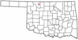
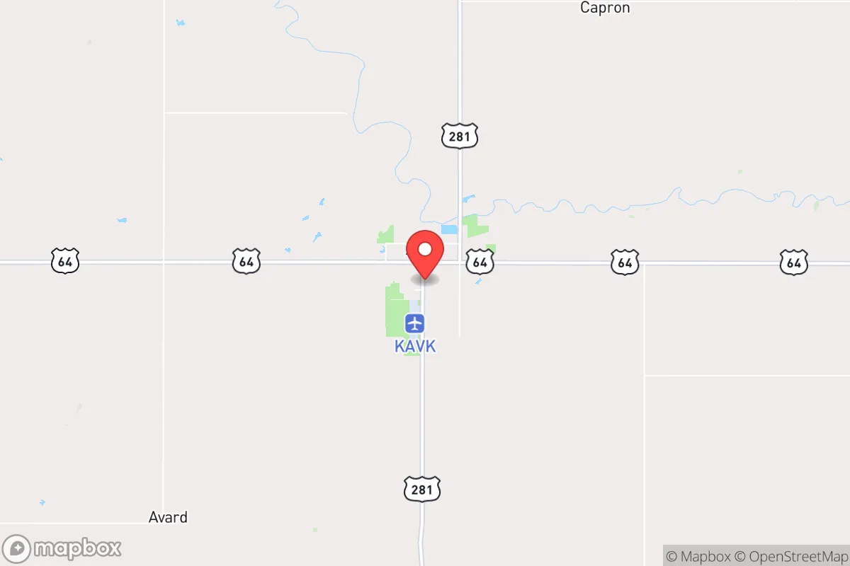
Photo: Wikipedia
Strategic Assessment of Alva, OK
Strong survivability profile. Good buffer from population centers, with manageable environmental and tactical risks.
What does the Strategic Assessment tell us?
Our Strategic Assessment grades tactical survivability of an area. Major population centers, military targets, fallout zones, natural disasters, and border exposure all drive risk — lower exposure means a more defensible position in a crisis.
This is heavily inspired by Joel Skousen's Strategic Relocation book. Highly recommended you checkout the book ($)What does this tell us?
Our Strategic Assessment grades tactical survivability of an area. Major population centers, military targets, fallout zones, natural disasters, and border exposure all drive risk — lower exposure means a more defensible position in a crisis.
This is heavily inspired by Joel Skousen's Strategic Relocation book. Highly recommended you checkout the book ($)Strategic Pillars

Key Distances
Regional Safe Places
Below is our recommended "safe zones" in Oklahoma and the surrounding area based on our strategic heuristics. For most people, it's unrealistic to live in a “safe zone” full-time due to work, family or other personal reasons. They tend to be more rural. However, many of these areas are perfect for second homes and retreat properties that double as a vacation home or even a short-term rental.
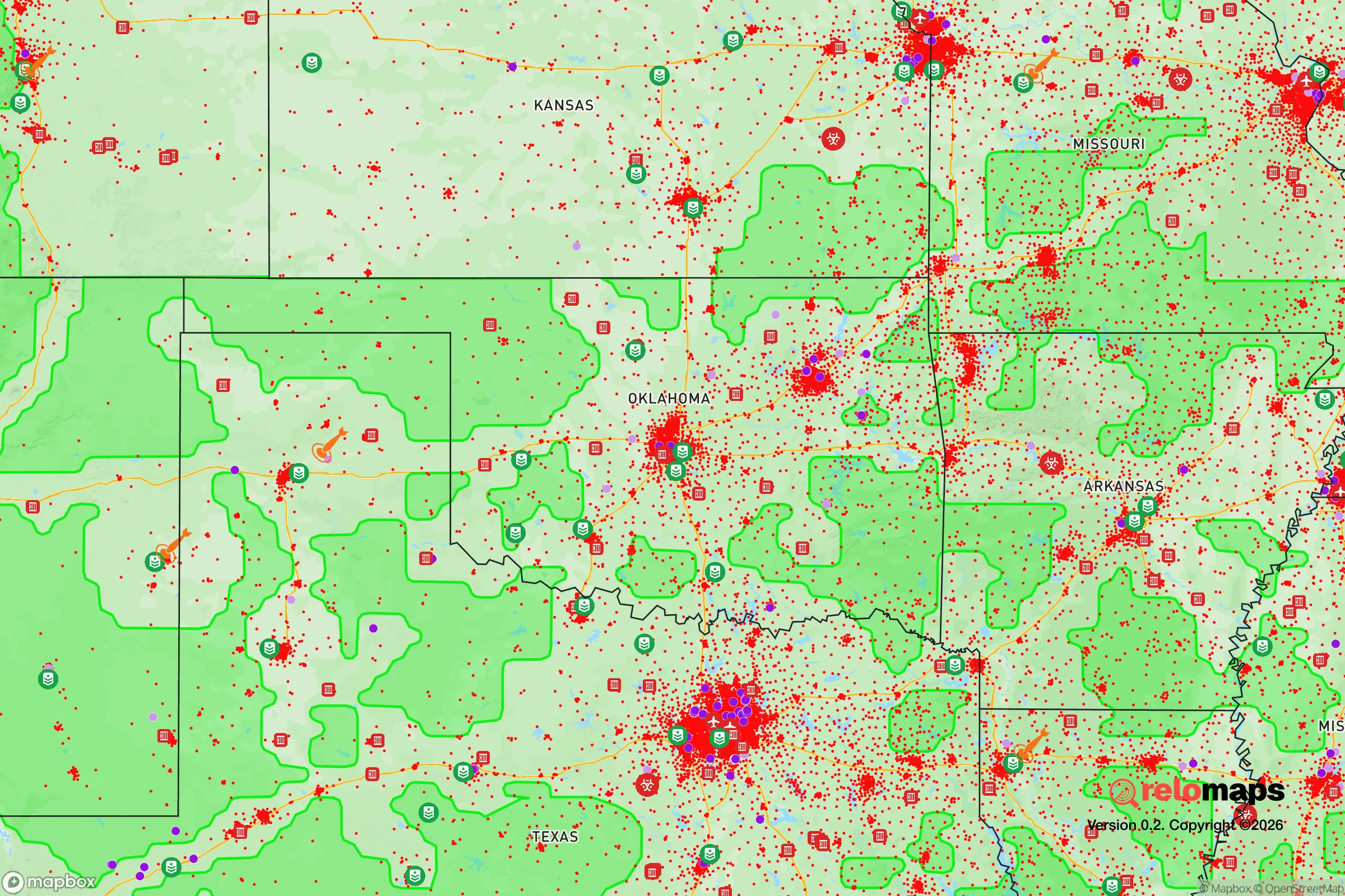
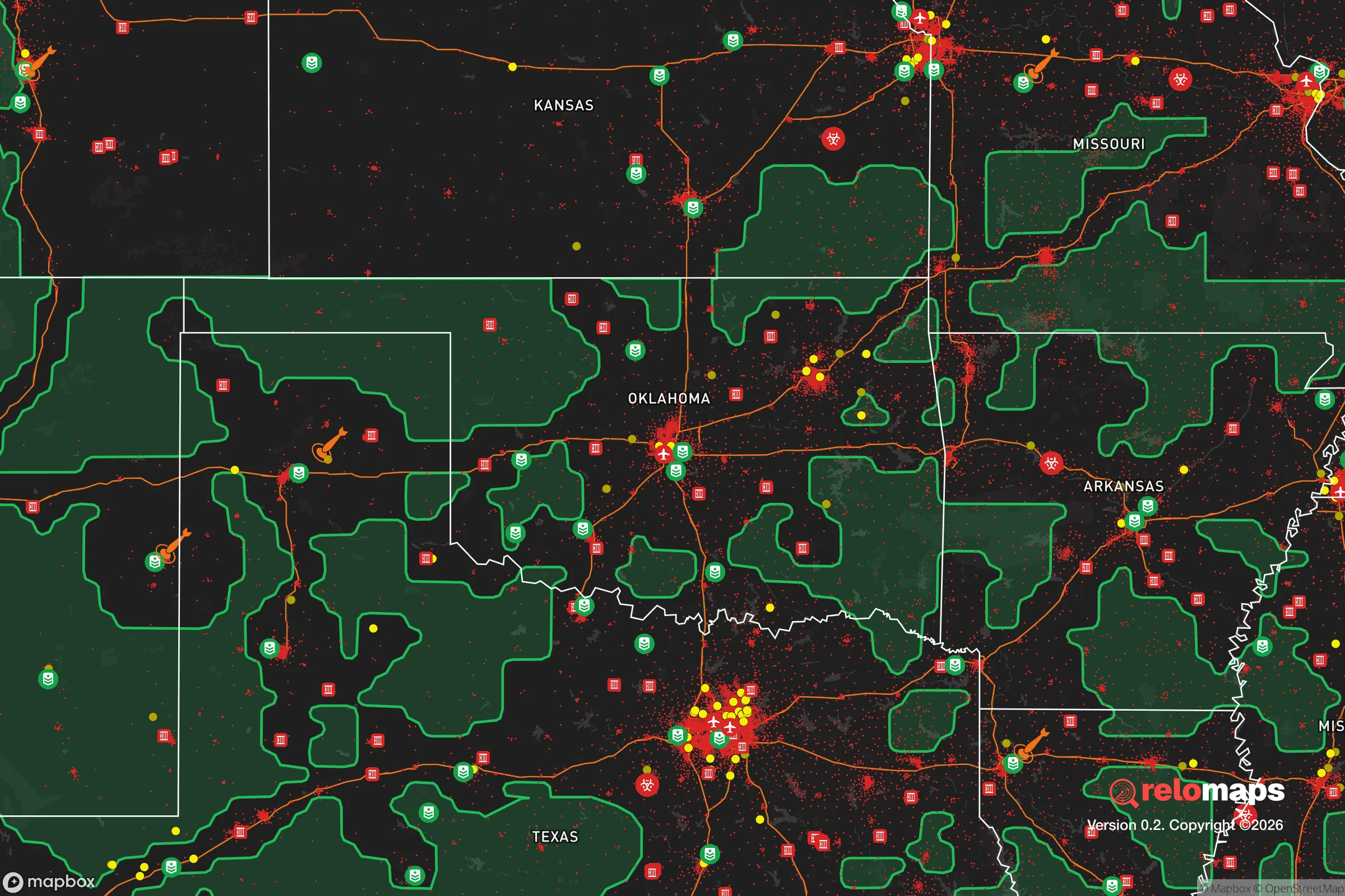


Important Note: For informational purposes only. This does not mean nothing bad ever happens in the green zones. Please use common sense. This is based on public data and modeled with AI. We tried to take a conservative approach but mistakes happen. We update this regularly as new information becomes available.
Solar Generator Recommendations
Backup power matters more here than in safer locations. We've picked three solar generators across budgets and capacity tiers — start with the budget unit if you only need a few essentials, or step up if you want to run a fridge and HVAC for days at a time.

Jackery Portable Power Station Explorer 300
Budget OptionPower on the Go: Weighing only 11 lbs, it's convenient to set up and store with book-sized foldable solar panels

BLUETTI Portable Power Station AC180
Designed for both indoor and outdoor scenarios, AC180 is highly capable as it has a robost capacity and continuous output power.

EF ECOFLOW DELTA Pro Ultra Power Station
Upgraded PickEcoFlow DELTA Pro Ultra is a whole-home energy system designed to grow with your family. Integrated with the Smart Home Panel 2, it scales to meet your evolving energy needs — keeping your home powered, intelligent, and secure through every stage of life.
We earn a commission, at no additional cost to you.
Strategic Assessment Analysis
Alva, Oklahoma, offers a compelling mix of geographic isolation and practical self-sufficiency that appeals to those prioritizing resilience and preparedness. Located in Woods County in the far northwestern corner of the state, roughly 100 miles from Enid and 150 miles from Wichita, Kansas, Alva sits far from major metropolitan centers, reducing exposure to the cascading failures that can follow a large-scale disaster. The area’s low population density—around 5,000 residents in the town itself—combined with its position on the Great Plains, provides a strategic buffer against both natural and man-made threats, making it a serious consideration for relocators focused on long-term stability.
Geographic position and natural advantages for long-term stability
Alva’s location on the southern edge of the Great Plains offers several inherent advantages for resilience. The surrounding terrain is predominantly flat to gently rolling agricultural land, which simplifies construction, road maintenance, and potential off-grid infrastructure like solar arrays or wind turbines. The area sits atop the Ogallala Aquifer, one of the largest freshwater aquifers in the world, providing a deep and reliable groundwater source that is less susceptible to surface contamination than shallower wells. Annual precipitation averages around 26 inches, enough to support dryland farming and rainwater catchment without the chronic drought risks seen further west. The region’s continental climate means cold winters and hot summers, but the lack of dense forest cover reduces wildfire risk compared to more wooded parts of Oklahoma. Additionally, Alva is far from active fault lines, major floodplains, and hurricane-prone coastal zones, minimizing exposure to the most common large-scale natural disasters. The town’s position along U.S. Highway 64 and State Highway 11 provides reasonable road access without being a major transit corridor, which helps maintain a low profile while still allowing for supply runs to larger towns like Woodward (about 40 miles south) or Enid.
Risks, exposures, and proximity to fallout-relevant landmarks
While Alva’s isolation is a strength, it also carries specific risks that a strategic relocator must weigh. The most significant man-made threat is its proximity to Vance Air Force Base near Enid, roughly 90 miles southeast. Vance is a major training base for the U.S. Air Force, housing T-6 Texan II and T-38 Talon aircraft, and is a potential target in a conflict scenario. While 90 miles provides a substantial buffer from a direct strike, fallout patterns could still affect Alva depending on wind direction—prevailing winds in the region are from the south and southwest, which would carry fallout away from the town in most scenarios, but not all. The nearby Salt Plains National Wildlife Refuge and the Great Salt Plains Lake, about 50 miles east, are not strategic targets but could see secondary effects from infrastructure disruption. On the natural side, the area lies within Tornado Alley, and while the risk is lower than in central Oklahoma, severe thunderstorms and tornadoes are a seasonal reality. The flat terrain also means that straight-line winds can be destructive, and power outages from storms are common. The nearest major medical facility is in Enid, which is a 90-minute drive—a significant vulnerability for anyone with chronic health conditions or serious injuries. The town’s small population also means that local emergency services are limited; the Alva Fire Department is volunteer-based, and the Woods County Sheriff’s Office has a small staff, so reliance on self-sufficiency for security and medical response is a practical necessity.
Practical resilience for a relocator: food, water, energy, and defensibility
For someone serious about self-sufficiency, Alva offers a strong foundation. Water security is the standout advantage: the Ogallala Aquifer provides abundant groundwater, and many rural properties already have private wells. The city’s municipal water system draws from the aquifer as well, but a well-equipped relocator should plan for a backup hand pump or solar-powered pump to maintain access during grid outages. Food production is viable due to the region’s agricultural character. The surrounding farmland is dominated by wheat, cattle, and hay, and the local climate supports vegetable gardens with proper soil management. The Alva Farmers Market operates seasonally, and the town has a small but functional grocery store, but for long-term resilience, establishing a garden and possibly small livestock (chickens, goats) is practical. The area’s low land prices—often under $2,000 per acre for raw farmland—make it feasible to acquire acreage for food production. Energy independence is achievable: the region averages over 200 sunny days per year, making solar power a reliable option, and the consistent winds (average 12-15 mph) support small-scale wind turbines. Net metering is available through the local electric cooperative, Northwestern Electric Cooperative, which allows grid-tied systems to offset costs. Defensibility is a mixed picture. The flat terrain offers long sightlines, which is an advantage for perimeter awareness, but it also means that a property is visible from a distance. Strategic placement of berms, tree lines, or earth-sheltered structures can mitigate this. The town’s low crime rate—violent crime is well below national averages—means that day-to-day security is less of a concern, but in a prolonged grid-down scenario, the small population and lack of law enforcement presence could lead to localized issues. The local culture is heavily oriented toward hunting and firearms ownership, which aligns with a preparedness mindset, and the community is generally self-reliant and neighborly, though not overtly prepper-oriented.
The overall strategic picture for Alva is one of moderate-to-high resilience with clear trade-offs. Its greatest strengths are water security, low population density, and distance from major targets, which make it a strong candidate for a long-term relocation focused on self-sufficiency. The primary weaknesses are the seasonal tornado risk, the distance to advanced medical care, and the potential for fallout from Vance Air Force Base under specific wind conditions. For a relocator willing to invest in off-grid infrastructure—solar, well backup, storm shelter—and to accept a slower pace of life with limited local services, Alva provides a defensible, resource-rich base. It is not a bug-out location for a weekend; it is a place to build a life that is inherently more resilient than the suburbs or cities. The key is to treat the area as a long-term homesteading opportunity rather than a temporary retreat, and to plan for the realities of Plains weather and rural isolation. For those who can adapt, Alva offers a solid, grounded option in the broader landscape of strategic relocation.

* Values derived from national, state, county, city and local statistics and may differ in a specific area. Last updated: 2026-10-18T15:18:42.000Z
Narrative content on this page is AI-generated and may contain mistakes. Verify any details that matter before acting on them.
ReloMaps may earn a commission from affiliate links at no extra cost to you.

