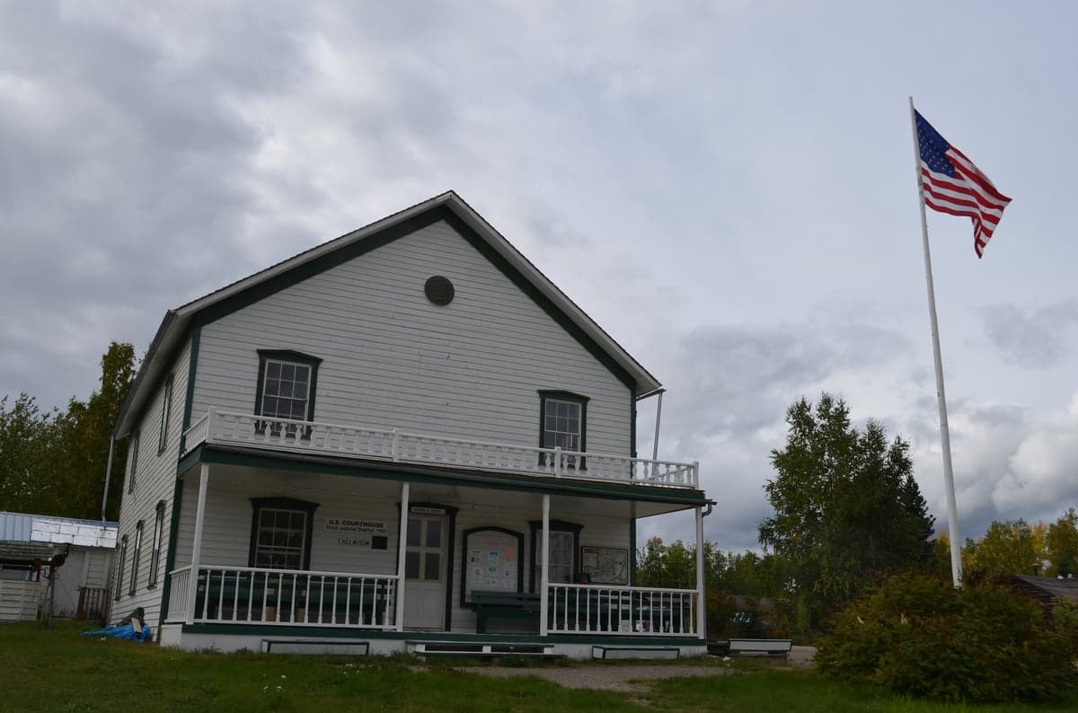
Photo: Wikipedia
Strategic Assessment of Southeast Fairbanks County
Strong survivability profile. Good buffer from population centers, with manageable environmental and tactical risks.
What does the Strategic Assessment tell us?
Our Strategic Assessment grades tactical survivability of an area. Major population centers, military targets, fallout zones, natural disasters, and border exposure all drive risk — lower exposure means a more defensible position in a crisis.
This is heavily inspired by Joel Skousen's Strategic Relocation book. Highly recommended you checkout the book ($)What does this tell us?
Our Strategic Assessment grades tactical survivability of an area. Major population centers, military targets, fallout zones, natural disasters, and border exposure all drive risk — lower exposure means a more defensible position in a crisis.
This is heavily inspired by Joel Skousen's Strategic Relocation book. Highly recommended you checkout the book ($)Strategic Pillars

Key Distances
Strategic Assessment Analysis
Southeast Fairbanks County, Alaska, presents a compelling strategic option for relocation-minded individuals and families prioritizing resilience, self-sufficiency, and distance from the vulnerabilities of major urban centers. Its core advantage is a combination of geographic isolation from the Lower 48's dense population corridors and a robust local infrastructure anchored by the city of Delta Junction and the Richardson and Alaska Highways. This area offers a rare balance: it is remote enough to avoid the cascading failures of a major metropolitan grid, yet connected enough to access critical supplies and maintain a functional, modern lifestyle. For a reader serious about disaster readiness, this region represents a genuine frontier of opportunity, not a theoretical escape.
Geographic position and natural advantages for long-term stability
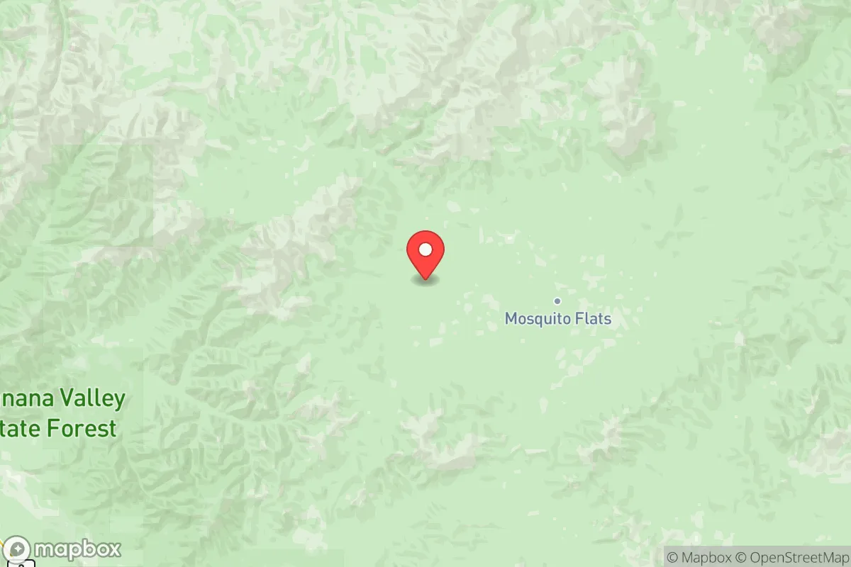
Southeast Fairbanks County occupies a strategic position in the Tanana River Valley, flanked by the Alaska Range to the south and the White Mountains to the north. This geography provides a natural buffer against the most extreme coastal weather systems and offers a continental climate with cold, dry winters and warm summers—conditions that are more predictable and manageable than the maritime chaos of coastal Alaska. The area's elevation and inland location mean it is far less exposed to tsunami risks, storm surges, or the permafrost-thaw instability that plagues many northern communities. The Delta River and the Tanana River provide reliable freshwater sources, while the surrounding boreal forest and agricultural lands offer a foundation for local food production. The presence of Fort Greely, a U.S. Army installation focused on missile defense, adds a layer of institutional stability and emergency response capability that is rare in such a remote setting. This is not a place that will be cut off by a single road washout; the highway network, while not extensive, is maintained year-round and connects to Fairbanks (90 miles west) and the Alaska Highway leading to Canada.
Risks, exposures, and proximity to fallout-relevant landmarks
While Southeast Fairbanks County is far from the obvious targets of the Lower 48—no refineries, no major ports, no sprawling military bases like Fort Hood—it is not without its own risk profile. The most significant man-made exposure is Fort Greely itself, which houses the Ground-Based Midcourse Defense (GMD) interceptor silos. In a major conflict scenario, this installation could be a primary target, placing the immediate vicinity of Delta Junction at elevated risk. However, the county's vast size (over 25,000 square miles) means that most residential areas, particularly those along the Richardson Highway south of Delta Junction or near the small community of Dot Lake, are far enough from the base to avoid direct blast effects. The primary risk is not a direct strike on a home, but the potential for fallout patterns from a strike on Fort Greely or, less likely, on Eielson Air Force Base near Fairbanks. Prevailing winds in the region generally blow from the west and southwest, meaning fallout from a Fairbanks-area event would likely be carried eastward, potentially affecting the western edge of the county. The Trans-Alaska Pipeline also runs through the county's western edge; a disruption there would have economic consequences but poses no direct fallout danger. Natural risks are more immediate: wildfires are a genuine seasonal threat, particularly in dry summers, and the region experiences significant seismic activity from the Denali Fault system. A major earthquake could disrupt the highway and pipeline, but the dispersed population and low building density mean structural collapse risks are minimal compared to an urban area.
Practical resilience for a relocator: food, water, energy, and defensibility
For a family or individual serious about self-sufficiency, Southeast Fairbanks County offers a rare combination of resources. Water is abundant from the Tanana and Delta Rivers, as well as numerous smaller streams and lakes, though proper filtration and winterization are essential. The region's agricultural potential is a standout feature: the Delta Junction area is known for its barley and hay production, and many residents maintain large gardens and small livestock operations. The growing season is short but intense (with nearly 20 hours of daylight in June), making it viable for cold-hardy crops. Energy is a mixed picture: the electrical grid is served by the Golden Valley Electric Association, which relies heavily on coal and natural gas, making it vulnerable to supply chain disruptions. However, the long, sunny summers make solar power a practical supplement, and the surrounding forests provide ample firewood for heating. Wood stoves are standard, not a luxury, in most homes. Defensibility is the area's strongest card. The population density is extremely low (roughly 0.4 people per square mile), and the terrain—a mix of boreal forest, river flats, and rolling hills—offers natural cover and chokepoints. The Richardson Highway is the primary artery, and a small group could effectively monitor or control access to a given valley or homestead. The nearest major population center, Fairbanks, is a 90-minute drive, which is far enough to avoid urban chaos but close enough for resupply or medical evacuation. The community of Tok, just east of the county line, serves as a secondary hub for supplies and information. The local culture is heavily oriented toward self-reliance: hunting, fishing, trapping, and food preservation are common skills, not niche hobbies. A relocator arriving without these skills will need to learn quickly, but the social fabric is supportive of newcomers who are serious about adapting.
The overall strategic picture for Southeast Fairbanks County is one of high potential paired with real, manageable challenges. It is not a zero-risk environment—no place is—but its risk profile is fundamentally different from the Lower 48's. The threats are natural (wildfire, earthquake) and localized (Fort Greely), not the systemic, cascading failures of a dense urban grid. The area's agricultural base, abundant water, and low population density make it one of the most defensible and self-sufficient regions in the United States for a prepared relocator. The trade-offs are real: harsh winters, limited medical facilities (the nearest hospital is in Fairbanks), and a need for significant upfront investment in infrastructure (well, septic, heating, vehicle). But for a reader who values long-term stability over convenience, and who is willing to trade the amenities of a city for genuine resilience, Southeast Fairbanks County deserves serious consideration. It is a place where preparation meets opportunity, and where the frontier spirit is not a historical memory but a daily reality.

* Values derived from national, state, county, city and local statistics and may differ in a specific area. Last updated: 2026-06-16T01:15:17.000Z
Narrative content on this page is AI-generated and may contain mistakes. Verify any details that matter before acting on them.
ReloMaps may earn a commission from affiliate links at no extra cost to you.

