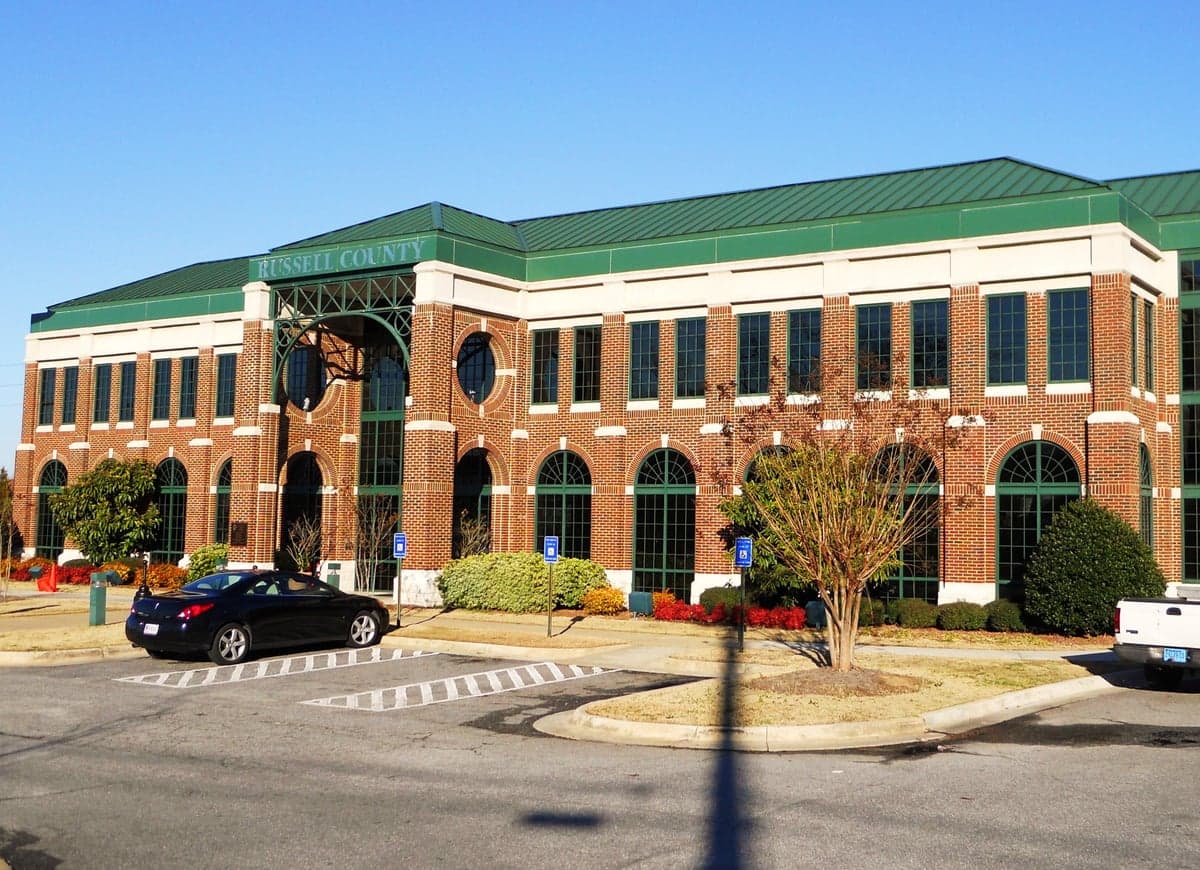
Photo: Wikipedia
Strategic Assessment of Russell County
Workable tactical position. Some exposure to population density or targets, but generally defensible in a crisis.
What does the Strategic Assessment tell us?
Our Strategic Assessment grades tactical survivability of an area. Major population centers, military targets, fallout zones, natural disasters, and border exposure all drive risk — lower exposure means a more defensible position in a crisis.
This is heavily inspired by Joel Skousen's Strategic Relocation book. Highly recommended you checkout the book ($)What does this tell us?
Our Strategic Assessment grades tactical survivability of an area. Major population centers, military targets, fallout zones, natural disasters, and border exposure all drive risk — lower exposure means a more defensible position in a crisis.
This is heavily inspired by Joel Skousen's Strategic Relocation book. Highly recommended you checkout the book ($)Strategic Pillars

Key Distances
Strategic Assessment Analysis
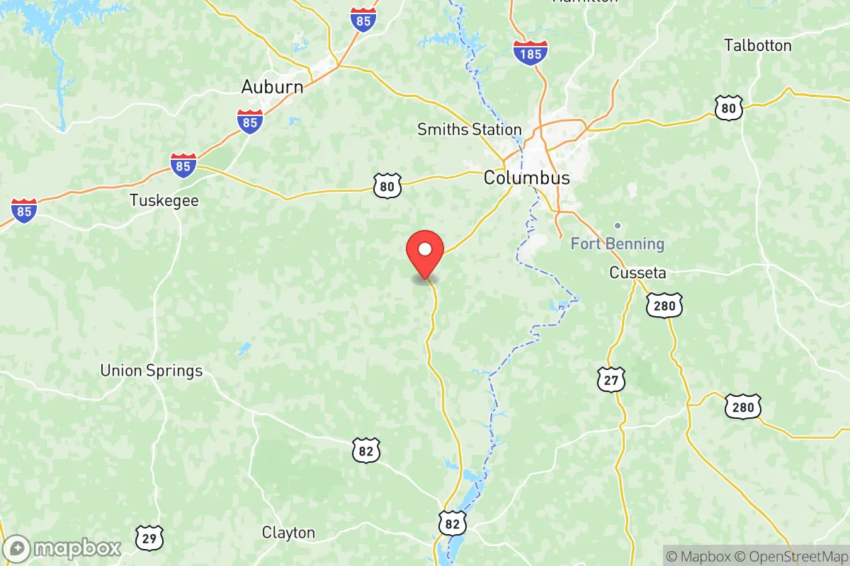
Russell County, Alabama, offers a compelling strategic position for relocation-minded readers prioritizing resilience and self-sufficiency, balancing proximity to regional infrastructure with a lower population density that reduces exposure to cascading urban failures. Located in the southeastern corner of Alabama along the Chattahoochee River, the county sits roughly 90 miles south of Montgomery and 30 miles east of the Fort Moore military installation (formerly Fort Benning), placing it within a zone that benefits from economic stability without the direct fallout risks of a major metropolitan core. The county seat of Phenix City anchors the area, while smaller communities like Hurtsboro, Seale, and Ladonia provide rural buffers that enhance defensibility and resource independence.
Geographic position and natural advantages for long-term stability
Russell County’s geography provides several structural advantages for a resilience-focused household. The county lies within the Coastal Plain region, characterized by gently rolling terrain, mixed pine-hardwood forests, and abundant surface water — the Chattahoochee River forms its entire eastern border, offering a reliable water source that is less vulnerable to drought than deeper aquifer systems. The area sits outside the highest-risk zones for hurricanes (roughly 200 miles inland from the Gulf Coast), tornadoes (moderate risk, with fewer EF-3+ events than the Deep South’s “Dixie Alley” core), and seismic activity (negligible). The local climate supports year-round food production: a growing season of roughly 230 days, average annual rainfall of 52 inches, and mild winters that allow for cold-hardy crops and livestock grazing without the infrastructure costs of northern climates. For a relocator evaluating long-term habitability, Russell County’s position avoids the coastal storm surge zones, the industrial corridor of Houston’s refineries, and the dense population centers of Atlanta or Birmingham, while still being within a day’s drive of multiple regional supply chains.
Risk exposure and proximity to fallout-relevant landmarks
No location is risk-free, and Russell County has specific exposures that a strategic relocator must weigh. The most significant man-made risk is the proximity to Fort Moore, a major Army installation that includes armor, infantry, and aviation training — a potential target in a conflict scenario, though its rural setting and active-duty population of roughly 30,000 make it a lower-priority target than strategic nuclear assets. The county also sits within 150 miles of the Kia Motors Manufacturing plant in West Point, Georgia (just across the river) and the Columbus, Georgia metropolitan area (population 200,000+), which includes a regional airport, a major medical center, and industrial zones that could become secondary targets or chokepoints during a crisis. Natural hazards are moderate: the county experiences an average of 15-20 thunderstorm days per year, with occasional damaging winds and hail, and the Chattahoochee River has a history of flooding in low-lying areas near Phenix City. Wildfire risk is low due to the region’s humidity and forest management, but the pine plantations common in the area can carry fire during extended dry spells. For a relocator, the key takeaway is that Russell County’s risks are manageable with basic preparedness — a 72-hour kit, flood insurance if near the river, and awareness of Fort Moore’s training schedule — rather than existential threats that would require relocation.
Practical resilience for a relocator: food, water, energy, and defensibility
Russell County scores well on the practical metrics that matter for a self-sufficient household. Water availability is a standout advantage: the Chattahoochee River provides a surface water source that is unlikely to be contaminated by upstream industrial accidents (the river’s watershed is largely rural and forested), and the county’s groundwater aquifers (the Clayton and Providence aquifers) are rated as having moderate to high yields for domestic wells. The county’s agricultural base supports local food production — there are working farms in the Seale and Hurtsboro areas that produce cattle, poultry, hay, and row crops like peanuts and cotton — and the presence of the Russell County Farmers Market in Phenix City provides a direct link to regional growers. For energy resilience, the county is served by Alabama Power, which operates a mix of natural gas, hydroelectric, and coal generation; the nearby Walter F. George Lock and Dam (on the Chattahoochee, about 40 miles south) provides hydroelectric capacity that adds grid stability. Solar potential is good, with an average of 218 sunny days per year, and the county’s zoning is generally permissive for off-grid systems like solar panels, rainwater catchment, and composting toilets. Defensibility is aided by the county’s layout: the Chattahoochee forms a natural eastern boundary, the rural interior is a network of county roads and state highways (not major interstates), and the population density of roughly 60 people per square mile means that a relocator can find a property with significant buffer from neighbors. The Phenix City Police Department and Russell County Sheriff’s Office maintain a visible presence, and the county’s crime rate is below the national average for property crime, though rural theft (tools, livestock, fuel) is a concern that can be mitigated with basic security measures like fencing, lighting, and a dog.
Overall, Russell County presents a balanced strategic picture for the relocator who values resilience without extreme isolation. Its geographic position avoids the highest-risk zones for natural disasters and major industrial targets, while its water resources, agricultural capacity, and moderate population density support a self-sufficient lifestyle. The proximity to Fort Moore and Columbus, Georgia introduces manageable risks that are offset by the economic stability and medical access those areas provide. For a family or individual willing to invest in a well, solar panels, and a garden, Russell County offers a defensible, resource-rich base that can weather most disruptions — from a grid outage to a regional supply chain breakdown — without requiring a complete retreat from modern life. The county is not a bunker; it is a practical, livable location where preparedness is a choice, not a necessity.

* Values derived from national, state, county, city and local statistics and may differ in a specific area. Last updated: 2026-06-16T09:12:40.000Z
Narrative content on this page is AI-generated and may contain mistakes. Verify any details that matter before acting on them.
ReloMaps may earn a commission from affiliate links at no extra cost to you.

