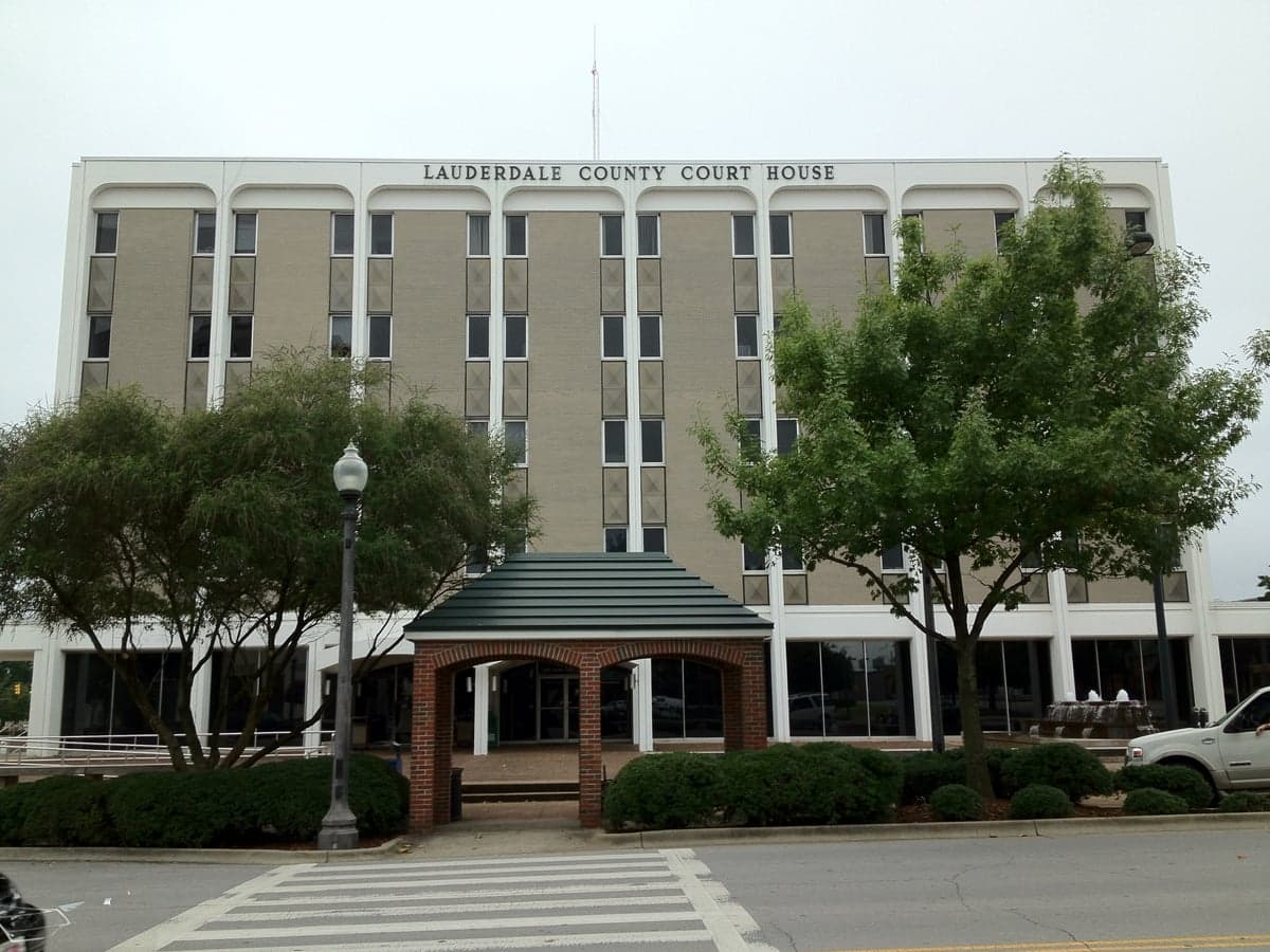
Photo: Wikipedia
Strategic Assessment of Lauderdale County
Workable tactical position. Some exposure to population density or targets, but generally defensible in a crisis.
What does the Strategic Assessment tell us?
Our Strategic Assessment grades tactical survivability of an area. Major population centers, military targets, fallout zones, natural disasters, and border exposure all drive risk — lower exposure means a more defensible position in a crisis.
This is heavily inspired by Joel Skousen's Strategic Relocation book. Highly recommended you checkout the book ($)What does this tell us?
Our Strategic Assessment grades tactical survivability of an area. Major population centers, military targets, fallout zones, natural disasters, and border exposure all drive risk — lower exposure means a more defensible position in a crisis.
This is heavily inspired by Joel Skousen's Strategic Relocation book. Highly recommended you checkout the book ($)Strategic Pillars

Key Distances
Strategic Assessment Analysis
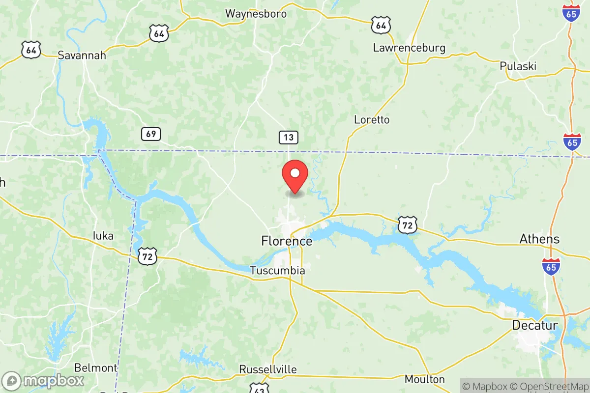
Lauderdale County, Alabama, offers a compelling strategic position for those prioritizing resilience and self-sufficiency, anchored by the Tennessee River and a location that balances rural access with proximity to regional infrastructure. The county seat, Florence, sits at the heart of the Shoals area, a four-city metro that includes Muscle Shoals, Sheffield, and Tuscumbia, providing a modest population base without the congestion and vulnerability of a major metropolis. This positioning places residents roughly 90 miles west of Huntsville and 120 miles north of Birmingham, far enough to avoid the immediate fallout zones of those larger cities while still allowing for supply runs and medical access when needed.
Geographic position and natural advantages for long-term security
The Tennessee River is the defining geographic feature of Lauderdale County, creating a natural barrier to the south and east that complicates approach vectors for any large-scale disruption. The river's width and the limited number of bridge crossings—primarily at Florence, Muscle Shoals, and the Wilson Dam area—offer chokepoints that can be monitored or controlled if necessary. The county sits within the Highland Rim region, characterized by rolling hills and limestone bedrock, which provides decent drainage and reduces flood risk compared to low-lying areas further south. The Wilson Dam and the Tennessee Valley Authority (TVA) system ensure a robust electrical grid, with the nearby Browns Ferry Nuclear Plant in Limestone County providing a major power source roughly 30 miles east. This proximity to a nuclear facility is a double-edged sword—it guarantees reliable electricity under normal conditions but introduces a potential hazard zone within the 50-mile ingestion pathway, though prevailing winds typically carry any hypothetical release away from the county's population centers.
Risks, exposures, and proximity to fallout-relevant landmarks
Lauderdale County's primary man-made risk exposure comes from its position relative to Huntsville's Redstone Arsenal and the broader Tennessee Valley defense industrial base. Redstone Arsenal, home to the U.S. Army's Missile Command and NASA's Marshall Space Flight Center, is a high-value target approximately 90 miles east-southeast. While this distance provides meaningful standoff, the arsenal's strategic importance means that any major conflict scenario would likely see secondary effects reaching into Lauderdale County, including potential evacuation flows or supply chain disruptions. Closer to home, the Colbert County Industrial Park across the river in Muscle Shoals hosts chemical manufacturing and fertilizer production facilities that could pose localized hazards in the event of an industrial accident. The county's position along the Tennessee River also means it sits downstream from the Tennessee Valley Authority's dams and the Browns Ferry plant, though the river's flow rate and multiple lock systems provide natural dilution and containment advantages. Tornado risk is the primary natural hazard, with Lauderdale County falling within the Dixie Alley corridor; the April 2011 super outbreak demonstrated that the area can see violent EF4 and EF5 events, making a reinforced safe room or basement a practical consideration for any relocator.
Practical resilience for a relocator: food, water, energy, and defensibility
Water availability is a strong point for Lauderdale County. The Tennessee River provides an essentially unlimited surface water source, and the underlying aquifer in the Highland Rim region yields reliable well water at moderate depths, typically 100-200 feet. Municipal water treatment in Florence and the smaller towns is generally well-maintained, but a relocator should plan for private well or rainwater catchment as a backup, given the county's position downstream from multiple industrial sites. Agricultural potential is solid but not exceptional; the county's soils are primarily clay-loam over limestone, suitable for pasture, hay, and row crops like corn and soybeans, but requiring amendment for intensive vegetable production. The area's growing season runs roughly April through October, allowing for a single main crop cycle with a fall cover crop. Local food production is supported by the Shoals Farmers Market in Florence and numerous roadside stands, but year-round self-sufficiency would require greenhouse investment. Energy resilience is above average due to TVA's reliable grid and the availability of propane and heating oil for backup generation; wood heating is also practical given the county's 55% forest cover, primarily mixed hardwoods and pine. Defensibility is moderate: the river provides a natural southern boundary, but the county's rolling terrain and scattered woodlots offer limited long-range visibility, and the numerous rural roads create multiple approach routes. A property set back from main highways, with a clear field of fire and a reliable water source, would be the ideal configuration for a relocator prioritizing security.
The overall strategic picture for Lauderdale County is one of balanced resilience with manageable trade-offs. It avoids the extreme risks of coastal hurricane zones, major metropolitan fallout footprints, and the seismic instability of the New Madrid zone to the west, while still offering the infrastructure and community density needed for practical daily life. The presence of the Tennessee River, TVA power, and a moderate climate with four distinct seasons supports a self-sufficient lifestyle, and the county's position in the Shoals area provides medical, educational, and logistical support without the vulnerability of a major city. For a relocator with a conservative leaning who values preparedness, community, and access to natural resources, Lauderdale County represents a solid B+ option—not the most remote or defensible location in the region, but one where a thoughtful property choice and basic preparations can yield a high degree of long-term security.

* Values derived from national, state, county, city and local statistics and may differ in a specific area. Last updated: 2026-06-21T19:10:09.000Z
Narrative content on this page is AI-generated and may contain mistakes. Verify any details that matter before acting on them.
ReloMaps may earn a commission from affiliate links at no extra cost to you.

