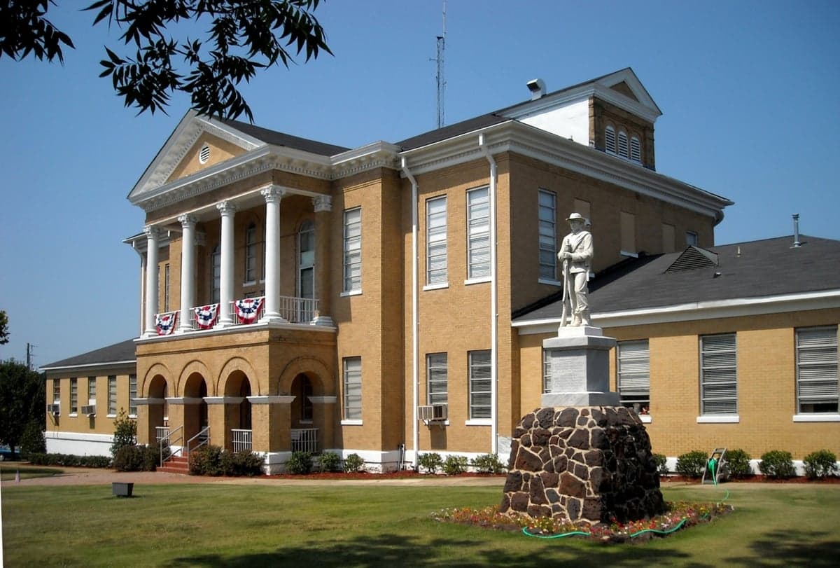
Photo: Wikipedia
Strategic Assessment of Choctaw County
Strong survivability profile. Good buffer from population centers, with manageable environmental and tactical risks.
What does the Strategic Assessment tell us?
Our Strategic Assessment grades tactical survivability of an area. Major population centers, military targets, fallout zones, natural disasters, and border exposure all drive risk — lower exposure means a more defensible position in a crisis.
This is heavily inspired by Joel Skousen's Strategic Relocation book. Highly recommended you checkout the book ($)What does this tell us?
Our Strategic Assessment grades tactical survivability of an area. Major population centers, military targets, fallout zones, natural disasters, and border exposure all drive risk — lower exposure means a more defensible position in a crisis.
This is heavily inspired by Joel Skousen's Strategic Relocation book. Highly recommended you checkout the book ($)Strategic Pillars

Key Distances
Strategic Assessment Analysis
Choctaw County, Alabama, offers a strategic resilience profile that is quietly impressive for a relocator prioritizing self-sufficiency and disaster preparedness. Sitting in the state's far southwest corner, the county leverages its position away from major metropolitan blast zones while maintaining practical access to Gulf Coast resources. For a single individual or family weighing long-term security, this is a landscape defined by low population density, abundant natural resources, and a geographic buffer that few other counties in the region can match.
Geographic position and natural advantages for long-term security
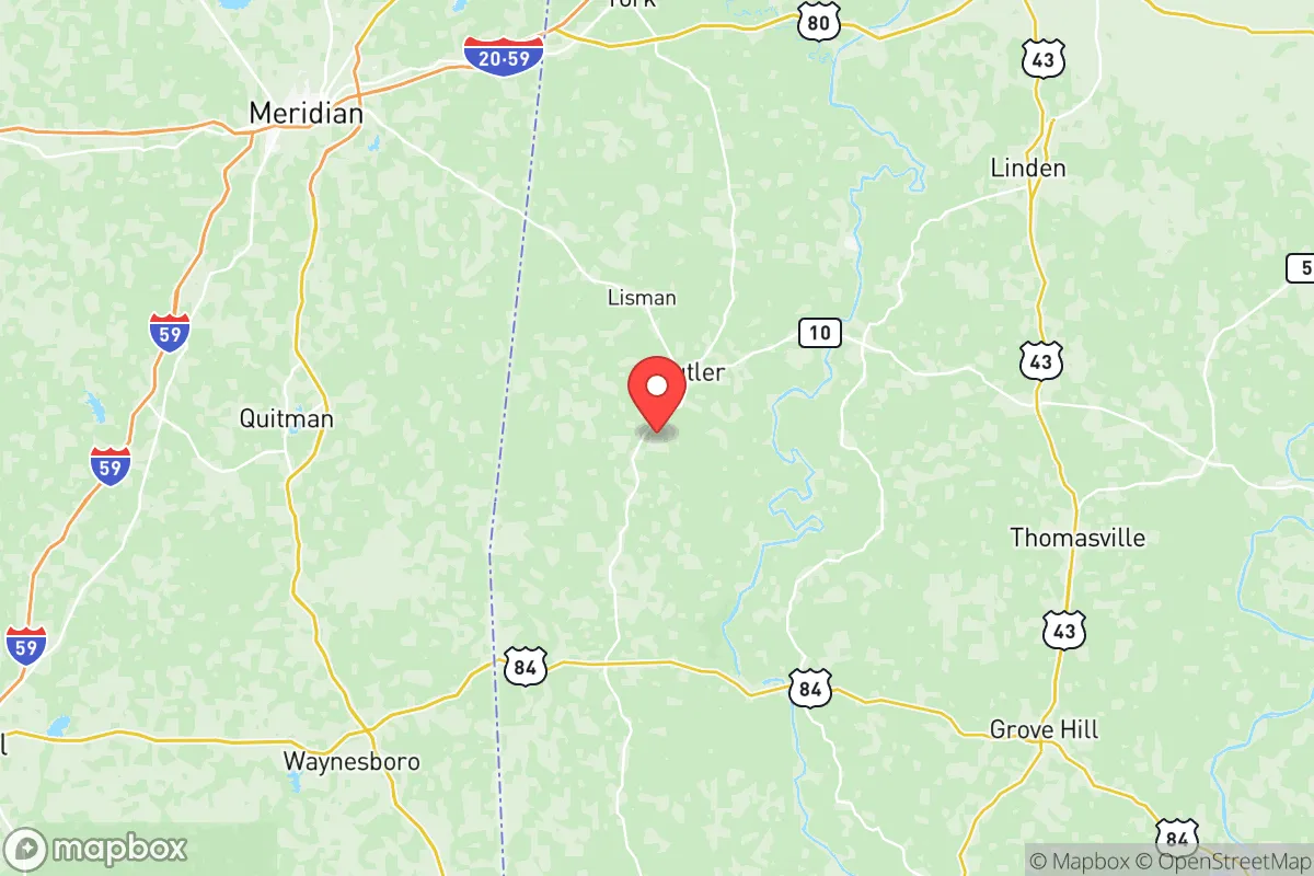
Choctaw County's primary strategic asset is its location. The county seat, Butler, sits roughly 60 miles north of Mobile and about 90 miles west of Montgomery, placing it outside the immediate fallout and secondary-target radius of those mid-sized cities. More importantly, the county is a solid 150-plus miles from the New Orleans metropolitan area and over 200 miles from Houston's refinery corridor — a complex of petrochemical targets that would be a primary concern in a major conflict scenario. That distance translates into meaningful time and space for a prepared household.
The county is bisected by the Tombigbee River, which forms its eastern border and feeds into the Tennessee-Tombigbee Waterway, a navigable inland route connecting to the Port of Mobile. This waterway is a double-edged sword: it provides a potential supply chain for goods and fuel, but it also represents a vector for riverine flooding. The interior is characterized by rolling hills, mixed pine-hardwood forest, and scattered agricultural land — terrain that offers natural cover, defensible ridgelines, and ample firewood. The county's population hovers around 13,000, with the largest concentrations in Butler, Gilbertown, and Toxey. That density — roughly 20 people per square mile — is a resilience feature in itself, reducing competition for resources during a crisis while preserving a sense of community.
Risks, exposures, and proximity to fallout-relevant landmarks
No location is without exposure, and Choctaw County has specific vulnerabilities worth acknowledging. The most significant is the H.L. Spurlock Power Plant near Gilbertown, a natural gas facility that, while not a nuclear target, could be a secondary point of failure for regional grid stability. The county also sits within the broader catchment of the Barry Steam Plant on the Mobile River, roughly 50 miles south — another conventional energy asset that could see disruption in a conflict scenario.
Fallout-relevant landmarks are limited but not absent. The county is approximately 120 miles from Naval Air Station Pensacola and roughly 140 miles from Keesler Air Force Base in Biloxi, both of which are plausible military targets in a peer-level conflict. Prevailing winds in this region typically blow from the south and southwest, which means fallout from those coastal installations would generally track northeast — away from Choctaw County. That wind pattern is a genuine advantage, though it is not a guarantee. The county also faces periodic tornado risk, with the Dixie Alley corridor passing through the region, and the Tombigbee River has a documented history of flooding during prolonged rain events, particularly in the eastern lowlands near Pennington.
On the man-made risk side, the county's own industrial footprint is minimal. There are no refineries, no chemical plants, and no major rail hubs within its borders. The nearest significant rail line runs through Meridian, Mississippi, roughly 30 miles west — a potential target for disruption but not a direct threat to the county itself. For a relocator weighing exposure, the calculus is favorable: the county is far enough from high-value targets to avoid primary effects, yet close enough to coastal infrastructure to benefit from post-event recovery efforts.
Practical resilience for a relocator: food, water, energy, and defensibility
For a household serious about self-sufficiency, Choctaw County delivers on the fundamentals. Water is the strongest asset. The Tombigbee River and its tributaries — including Turkey Creek and Okatuppa Creek — provide surface water sources, while the county's underlying aquifer system offers reliable well water at depths of 100 to 300 feet. A properly drilled well with a hand-pump backup gives a household an independent water supply that most suburban and urban properties simply cannot match. The county's rural zoning codes are permissive, allowing for rainwater catchment and greywater systems without the permitting friction found in more populated jurisdictions.
Food security is equally viable. The county has a working agricultural base — soybeans, corn, timber, and cattle — and the climate supports year-round vegetable production in most years. The growing season runs roughly 240 days, from mid-March to mid-November, which is sufficient for two full crop cycles of staples like sweet potatoes, field peas, and winter squash. Local farmers' markets in Butler and Lisman operate seasonally, and the county's network of small farms means that a relocator can establish direct relationships with producers before a crisis hits. For those willing to hunt, the county's deer and turkey populations are robust, and the Tombigbee offers catfish, bass, and bream.
Energy resilience is more challenging but manageable. The county is served by Alabama Power, and grid reliability is typical of rural Alabama — acceptable in normal conditions, vulnerable during severe weather. Solar is a practical option, with the region averaging about 5.0 peak sun hours per day, and the county's rural character means fewer tree-height restrictions and more open southern exposure for panel placement. Propane is widely available through local suppliers in Butler and Gilbertown, and wood heat is a realistic primary or secondary heating source given the timber density. For defensibility, the county's low population density and dispersed settlement pattern are the key advantages. A rural property with a long driveway, clear sightlines, and a well-planned perimeter is inherently more defensible than a suburban lot, and the county's strong hunting culture means that firearms ownership and proficiency are common rather than exceptional.
The overall strategic picture for Choctaw County is one of quiet, unglamorous resilience. It lacks the dramatic mountain redoubts of the Appalachians or the arid isolation of the Intermountain West, but it offers something arguably more practical: a moderate climate, abundant water, fertile soil, and a location that is simultaneously removed from primary targets and close enough to Gulf Coast logistics to matter. For a relocator who wants to be prepared without living in a bunker, the county represents a balanced choice — a place where the risks are manageable, the resources are real, and the community is small enough to know your neighbors but large enough to have a functioning county government. The trade-offs are honest: limited healthcare infrastructure, modest employment options, and a pace of life that demands self-reliance. But for a household that brings its own skills, supplies, and intentions, Choctaw County offers a defensible, sustainable base of operations in the heart of the Deep South.

* Values derived from national, state, county, city and local statistics and may differ in a specific area. Last updated: 2026-11-04T03:59:27.000Z
Narrative content on this page is AI-generated and may contain mistakes. Verify any details that matter before acting on them.
ReloMaps may earn a commission from affiliate links at no extra cost to you.

