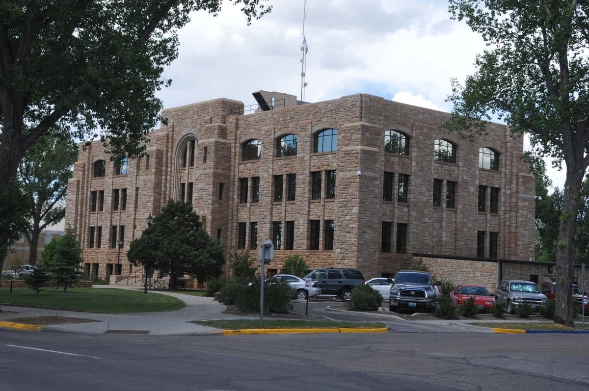
Photo: Wikipedia
Strategic Assessment of Albany County
Strong survivability profile. Good buffer from population centers, with manageable environmental and tactical risks.
What does the Strategic Assessment tell us?
Our Strategic Assessment grades tactical survivability of an area. Major population centers, military targets, fallout zones, natural disasters, and border exposure all drive risk — lower exposure means a more defensible position in a crisis.
This is heavily inspired by Joel Skousen's Strategic Relocation book. Highly recommended you checkout the book ($)What does this tell us?
Our Strategic Assessment grades tactical survivability of an area. Major population centers, military targets, fallout zones, natural disasters, and border exposure all drive risk — lower exposure means a more defensible position in a crisis.
This is heavily inspired by Joel Skousen's Strategic Relocation book. Highly recommended you checkout the book ($)Strategic Pillars

Key Distances
Strategic Assessment Analysis
Albany County, Wyoming, anchored by the city of Laramie, offers a strategic relocation option for those prioritizing resilience and self-sufficiency, balancing significant geographic advantages with real, calculable risks. Its position along the I-80 corridor provides critical logistical connectivity without the density and target profile of major Front Range urban centers like Cheyenne (50 miles north) or Denver (130 miles south). The county’s high elevation (7,200 feet at Laramie), low population density (roughly 38,000 residents across 4,300 square miles), and distance from primary strategic targets create a defensible posture that appeals to readers focused on long-term preparedness and disaster readiness.
Geographic position and natural advantages for long-term security
Albany County’s primary resilience asset is its location within the Laramie Basin, a high-altitude plateau ringed by the Laramie Range to the east and the Medicine Bow Mountains to the west. This natural bowl provides a degree of topographic isolation—approaches are limited to a handful of mountain passes and highway corridors, making the area inherently more defensible than open plains or river valleys. The county sits well away from major fault lines, hurricane zones, and tornado alleys, with the nearest significant seismic risk being the Yellowstone Caldera region over 300 miles northwest. Laramie itself is roughly 130 miles from Denver and 50 miles from Cheyenne, placing it outside the likely blast radius or immediate fallout zone of a major strike on those population centers, while still being close enough for supply runs or medical evacuation in a non-crisis scenario. The Medicine Bow National Forest, which covers much of the western county, offers a vast backcountry buffer and potential retreat area, with the Snowy Range providing reliable water runoff and timber resources.
Risks, exposures, and proximity to fallout-relevant landmarks
No resilience assessment is honest without acknowledging the area’s exposure. Albany County lies directly under the I-80 and I-25 intersection near Cheyenne, a critical east-west and north-south logistics corridor that would be a high-priority target in a major conflict. The county is also roughly 100 miles from F.E. Warren Air Force Base near Cheyenne, a nuclear missile wing headquarters that is among the most likely strategic targets in the Rocky Mountain region. In a worst-case scenario, prevailing westerly winds could carry fallout from a strike on Warren or from missile fields in southeastern Wyoming across the Laramie Basin. Additionally, the county’s proximity to the Rawlings and Sinclair oil refineries (about 120 miles west) and the Rocky Mountain Arsenal Superfund site near Denver (130 miles south) introduces secondary industrial hazard risks, though these are more relevant to long-term contamination than immediate blast effects. Natural hazards are less dramatic but real: severe winter blizzards can shut down I-80 for days, and the high-altitude sun and dry climate create wildfire risk in the forested western portions, particularly around Centennial and the Snowy Range corridor.
Practical resilience for a relocator: food, water, energy, and defensibility
For a family or individual serious about self-sufficiency, Albany County offers a mixed but workable profile. Water is the strongest asset: the Laramie River runs through the county, and the Medicine Bow Mountains capture significant snowpack, feeding the Laramie Range watershed and the Laramie River Greenbelt. Groundwater access is generally good in the basin, though well depths vary and permits are required. Energy is a moderate positive: the county is served by Rocky Mountain Power (coal and natural gas grid), but the high wind resource (average 12-15 mph) makes small-scale wind turbines viable, and solar works well despite the cold due to high sun hours (over 260 sunny days per year). The county has no major natural gas storage or refinery within its borders, but propane delivery is widespread. Food resilience is the weakest link: the growing season is short (roughly 90-110 frost-free days), and the soil in the Laramie Basin is alkaline and clay-heavy, requiring significant amendment for vegetable production. Local food infrastructure is limited—Laramie has a farmers market and a few small producers, but the county imports the vast majority of its food via the I-80 supply chain. Defensibility is above average: the limited road access points (I-80 from the east and west, WY-130 and WY-230 from the south, and WY-34 from the north) mean a small group could effectively monitor or control entry into the basin. The county’s low population density and large tracts of public land (Medicine Bow National Forest, Curt Gowdy State Park) provide buffer and retreat options that denser Front Range suburbs simply lack.
The overall strategic picture for Albany County is one of a solid secondary relocation option—not a fortress, but a defensible, resource-adequate location for those who want to be out of the immediate blast radius of major targets while retaining access to critical infrastructure. The county’s real vulnerability is its dependence on the I-80 corridor for food and fuel resupply, and its downwind position relative to Cheyenne’s military assets. For a relocator willing to invest in a greenhouse, a well, and a propane backup system, Albany County offers a realistic balance of isolation and access, with the Medicine Bow Mountains as a natural redoubt. It is not a bug-out location for the unprepared, but for a disciplined family or individual with a plan, it represents one of the more viable high-altitude options in the Intermountain West.

* Values derived from national, state, county, city and local statistics and may differ in a specific area. Last updated: 2026-08-08T14:57:37.000Z
Narrative content on this page is AI-generated and may contain mistakes. Verify any details that matter before acting on them.
ReloMaps may earn a commission from affiliate links at no extra cost to you.

