Photo: Wikipedia
Strategic Assessment of Rock County
Meaningful friction. Expect exposure to either population pressure, blast zones, or natural disaster risk. Consider buying a retreat property.
What does the Strategic Assessment tell us?
Our Strategic Assessment grades tactical survivability of an area. Major population centers, military targets, fallout zones, natural disasters, and border exposure all drive risk — lower exposure means a more defensible position in a crisis.
This is heavily inspired by Joel Skousen's Strategic Relocation book. Highly recommended you checkout the book ($)What does this tell us?
Our Strategic Assessment grades tactical survivability of an area. Major population centers, military targets, fallout zones, natural disasters, and border exposure all drive risk — lower exposure means a more defensible position in a crisis.
This is heavily inspired by Joel Skousen's Strategic Relocation book. Highly recommended you checkout the book ($)Strategic Pillars

Key Distances
Strategic Assessment Analysis
Rock County, Wisconsin, offers a surprisingly resilient strategic position for those prioritizing preparedness and self-sufficiency, balancing proximity to critical infrastructure with a buffer from the highest-risk urban and industrial zones. Sitting at the crossroads of Interstates 90 and 39/90, the county provides rapid egress options while maintaining a low profile relative to major metropolitan targets like Chicago or Milwaukee. For a relocator with a conservative, survivalist mindset, the area’s mix of agricultural capacity, freshwater access, and relative geographic isolation from primary fallout corridors makes it a viable base of operations—provided you understand its specific vulnerabilities.
Geographic position and natural advantages for long-term security
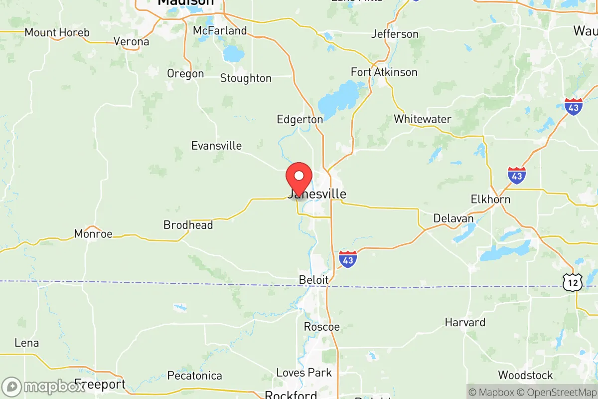
Rock County’s location in south-central Wisconsin places it roughly 70 miles southwest of Milwaukee and 40 miles south of Madison, offering a strategic buffer from the immediate blast and fallout zones of those larger cities. The county is anchored by the city of Janesville, the county seat, and includes Beloit, Edgerton, and Milton—each providing distinct advantages. The Rock River runs through the heart of the county, providing a reliable surface water source for filtration and irrigation, while the region’s rolling hills and mixed farmland offer natural cover and defensible terrain. The area’s position on the edge of the Driftless Area to the west means less glacial till and more varied topography, which can aid in concealment and microclimate gardening. For a prepper, the county’s agricultural base—corn, soybeans, and dairy—means local food production is a realistic option, not a theoretical one. The proximity to the Wisconsin Dells region to the north also provides a secondary retreat corridor into more sparsely populated forested areas.
Risks, exposures, and proximity to fallout-relevant landmarks
No location is without risk, and Rock County has several exposure points that demand attention. The most significant is the county’s position relative to the Chicago–Milwaukee–Madison corridor. While not a primary target, the county lies within the fallout plume zone for a major strike on Chicago’s O’Hare International Airport or the Great Lakes Naval Base near North Chicago. Prevailing westerly winds would carry fallout from a Chicago event eastward, but a strike on Milwaukee’s port or industrial complexes could deposit radioactive material across southeastern Wisconsin, including Rock County. Closer to home, the county contains the Janesville–Beloit Industrial Park, which hosts manufacturing facilities for companies like General Motors and Kerry Ingredients—potential secondary targets for sabotage or economic disruption. The nearby Rockford, Illinois, area, just 20 miles south of Beloit, is a transportation hub with rail yards and the Chicago Rockford International Airport, a major cargo and military airlift base. A conventional or EMP attack on Rockford’s logistics infrastructure could cripple supply chains and trigger refugee flows north into Rock County. Additionally, the county’s own infrastructure—the Janesville Wastewater Treatment Plant and the Beloit Water Utility—are single-point-of-failure systems that could be compromised during civil unrest or a cyberattack. The presence of the Wisconsin National Guard’s Camp Douglas training site to the north is a double-edged sword: it provides a potential security asset but also marks the region as a military logistics node.
Practical resilience for a relocator: food, water, energy, and defensibility
For a family or individual looking to establish a resilient homestead, Rock County offers a solid foundation with manageable challenges. Water security is the strongest asset: the Rock River and its tributaries, including Turtle Creek and the Yahara River, provide year-round surface water, and the county’s glacial aquifer system supports deep wells with reliable yields. Most rural properties can drill a private well to 200–400 feet, bypassing municipal systems vulnerable to contamination or sabotage. Food production is viable on parcels as small as 5–10 acres, with the county’s 180-day growing season supporting corn, beans, squash, and root vegetables. The Janesville Farmers Market and local CSAs are useful for building community networks, but a prepper should plan for full off-grid capability—seed banks, heirloom varieties, and livestock like chickens or goats are common in the area. Energy resilience is a mixed bag: the county is served by Alliant Energy and WE Energies, with a grid that has seen moderate reliability. However, the flat to rolling terrain is suitable for small-scale solar arrays, and the prevalence of Amish and Mennonite communities in neighboring Green and Lafayette counties means off-grid skills and equipment (windmills, wood stoves, hand tools) are locally available. Defensibility varies by location: rural townships like Fulton, Harmony, and Janesville’s outer townships offer 5–40 acre parcels with tree lines and limited road access, while denser areas like downtown Beloit or Janesville’s east side present choke points and higher population density. For a strategic retreat, look to the northwest corner of the county near the Rock River’s headwaters or the southeast edge near the Illinois border, where state lines can complicate pursuit or jurisdictional chaos. The county’s network of county highways (e.g., County A, County D, County M) provides multiple egress routes toward the Driftless Area or the Kettle Moraine State Forest to the east, but be aware that I-90/39 is a primary evacuation corridor and will likely be clogged during any crisis.
The overall strategic picture for Rock County is one of cautious optimism for the prepared relocator. It is not a remote bunker location—it sits within a few hours of major population centers and critical infrastructure targets—but its agricultural capacity, water abundance, and varied terrain make it a viable base for a family or small group willing to invest in off-grid systems and community relationships. The key vulnerabilities are the county’s position downwind of Chicago and Milwaukee and its reliance on a few key transportation and industrial nodes. For a conservative-minded individual concerned with civil unrest, economic collapse, or a major disaster, Rock County offers a middle ground: close enough to resources to be practical, far enough from the bullseye to survive the initial shock. The smart move is to secure a property with a well, solar capability, and defensible access, then build ties with local farming and gun clubs—because in a crisis, your neighbors will matter more than your gear.
* Values derived from national, state, county, city and local statistics and may differ in a specific area. Last updated: 2026-05-12T08:22:18.000Z
Narrative content on this page is AI-generated and may contain mistakes. Verify any details that matter before acting on them.
ReloMaps may earn a commission from affiliate links at no extra cost to you.