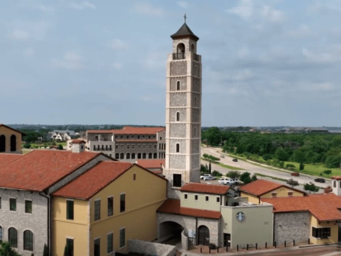
Strategic Assessment of Westlake, TX
Meaningful friction. Expect exposure to either population pressure, blast zones, or natural disaster risk. Consider buying a retreat property.
What does the Strategic Assessment tell us?
Our Strategic Assessment grades tactical survivability of an area. Major population centers, military targets, fallout zones, natural disasters, and border exposure all drive risk — lower exposure means a more defensible position in a crisis.
This is heavily inspired by Joel Skousen's Strategic Relocation book. Highly recommended you checkout the book ($)What does this tell us?
Our Strategic Assessment grades tactical survivability of an area. Major population centers, military targets, fallout zones, natural disasters, and border exposure all drive risk — lower exposure means a more defensible position in a crisis.
This is heavily inspired by Joel Skousen's Strategic Relocation book. Highly recommended you checkout the book ($)Strategic Pillars

Key Distances
Regional Safe Places
Below is our recommended "safe zones" in Texas and the surrounding area based on our strategic heuristics. For most people, it's unrealistic to live in a “safe zone” full-time due to work, family or other personal reasons. They tend to be more rural. However, many of these areas are perfect for second homes and retreat properties that double as a vacation home or even a short-term rental.


Important Note: For informational purposes only. This does not mean nothing bad ever happens in the green zones. Please use common sense. This is based on public data and modeled with AI. We tried to take a conservative approach but mistakes happen. We update this regularly as new information becomes available.
Solar Generator Recommendations
Backup power matters more here than in safer locations. We've picked three solar generators across budgets and capacity tiers — start with the budget unit if you only need a few essentials, or step up if you want to run a fridge and HVAC for days at a time.

Jackery Portable Power Station Explorer 300
Budget OptionPower on the Go: Weighing only 11 lbs, it's convenient to set up and store with book-sized foldable solar panels

BLUETTI Portable Power Station AC180
Designed for both indoor and outdoor scenarios, AC180 is highly capable as it has a robost capacity and continuous output power.

EF ECOFLOW DELTA Pro Ultra Power Station
Upgraded PickEcoFlow DELTA Pro Ultra is a whole-home energy system designed to grow with your family. Integrated with the Smart Home Panel 2, it scales to meet your evolving energy needs — keeping your home powered, intelligent, and secure through every stage of life.
We earn a commission, at no additional cost to you.
Strategic Assessment Analysis
Westlake, Texas, presents a complex strategic picture for the conservative prepper or survivalist. Its primary resilience advantage is its location on the far western edge of the Dallas-Fort Worth metroplex, offering a buffer from the immediate chaos of a major urban collapse while still providing access to critical infrastructure. The town’s low population density, high median income, and strong local governance create a natural layer of social stability that is rare in suburban America. However, its proximity to DFW Airport, major defense contractors, and the region’s economic chokepoints means it is not a remote retreat—it is a high-value suburban outpost that requires a clear-eyed assessment of both its defensive strengths and its exposure to fallout-related risks.
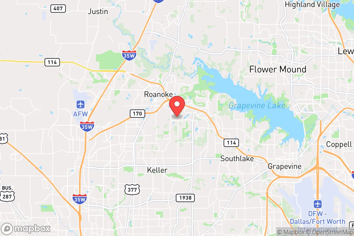
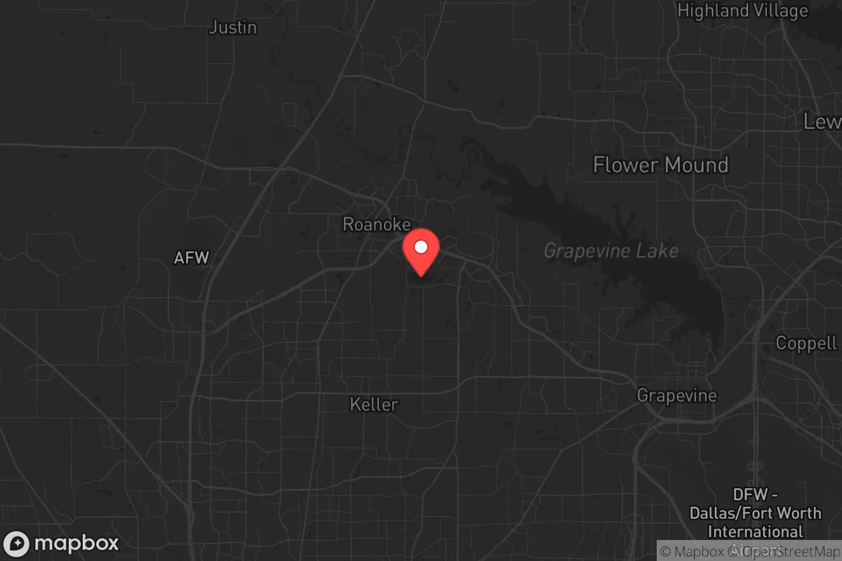
Geographic position and natural buffers: How Westlake sits relative to major threats
Westlake occupies a strategic ridge line in far northeastern Tarrant County, bordered by the towns of Southlake, Roanoke, and Keller. The area’s elevation—roughly 650 to 700 feet above sea level—provides a modest but meaningful advantage for line-of-sight observation and communications, especially compared to the flatter terrain closer to Dallas. The town is situated near the intersection of State Highway 114 and the Sam Rayburn Tollway (SH 121), two major arteries that can become chokepoints or escape routes depending on the scenario. The presence of the Denton Creek and the Elm Fork of the Trinity River to the north and east creates natural barriers that slow overland movement, offering a degree of defensibility against uncontrolled population movement from the urban core. The area’s limestone bedrock and clay soils are less prone to flooding than the alluvial plains closer to the Trinity, though flash flooding from heavy rain remains a concern in low-lying subdivisions. The proximity to the Barnett Shale natural gas fields is a double-edged sword: it provides local energy infrastructure but also introduces industrial risks from well sites and pipelines.
Risks, exposures, and proximity to fallout-relevant landmarks
Westlake’s most significant strategic liability is its proximity to DFW International Airport, located roughly 12 miles to the east. In a major disaster—whether natural, terrorist, or geopolitical—a major international airport becomes a primary target for both kinetic and cyber attacks, as well as a focal point for mass evacuation attempts that could gridlock surrounding highways. The town is also within 15 miles of Lockheed Martin’s Fort Worth facility, a major defense contractor producing the F-35 fighter jet, which elevates the area’s target profile in a conflict scenario. Additionally, the nearby AllianceTexas development in Fort Worth houses major logistics hubs for Amazon, FedEx, and the U.S. Postal Service, making it a potential chokepoint for supply chain disruption. The presence of the Dallas-Fort Worth National Cemetery and several large data centers (including those for major financial institutions) adds to the area’s critical infrastructure density. For the prepper, the risk is not just direct blast or fallout from a nuclear event—it is the cascading failure of transportation, communications, and supply chains that would follow any major incident in the metroplex. The town’s high property values also make it a likely target for looting and organized criminal activity during a breakdown of civil order, as affluent suburbs are often the first to be exploited by roving groups.
Practical resilience for a relocator: Food, water, energy, and defensibility
Westlake’s practical resilience is mixed. The town is served by the Trinity River Authority and the City of Fort Worth’s water system, which draws from Cedar Creek Reservoir and Richland-Chambers Reservoir—both located over 50 miles to the southeast. This means the water supply is vulnerable to pipeline disruption, power outages, and contamination events. A well-equipped relocator should plan for at least two weeks of stored water per person, with a long-term plan for rainwater catchment or a private well (though groundwater in the area is deep and often high in minerals). The electrical grid is served by Oncor, which has a moderate reliability record, but the area is prone to winter storms (as seen in 2021’s Winter Storm Uri) that can knock out power for days. Solar with battery backup is a viable investment here, given the region’s 230+ sunny days per year. Natural gas is widely available for heating and cooking, which is a plus for energy resilience. Food security is a challenge: the town has no significant agricultural land, and the nearest major grocery distribution centers are in Fort Worth and Dallas. A prepper should plan for a minimum six-month food storage, with a focus on freeze-dried and canned goods that can be rotated. Defensibility is moderate: the town’s layout is a mix of gated communities, large-lot estates, and suburban subdivisions, with limited natural cover. The presence of the Westlake Police Department and the Tarrant County Sheriff’s Office provides a thin layer of security, but in a prolonged collapse, a neighborhood watch and mutual-aid network would be essential. The town’s proximity to the Texas Motor Speedway and the surrounding open ranchland to the west offers potential bug-out routes into more rural areas like Wise County or Jack County, but those routes would likely be clogged during a mass evacuation.
The overall strategic picture for Westlake is that of a high-value, high-risk suburban outpost. It offers a better starting point than a dense urban core like Dallas or Fort Worth, but it is not a self-sufficient retreat. The town’s wealth and infrastructure make it a target, and its dependence on external supply chains for water, food, and energy means a relocator must invest heavily in redundancy and community building. For the conservative prepper who values proximity to medical facilities, schools, and employment but wants a buffer from the worst of urban collapse, Westlake is a viable option—provided they treat it as a base camp, not a fortress. The key is to have a clear plan for both sheltering in place and bugging out, with pre-positioned supplies and a network of trusted neighbors. In a world of increasing uncertainty, Westlake’s strategic value lies not in its isolation, but in its potential as a staging ground for longer-term survival in the Texas hinterlands.
* Values derived from national, state, county, city and local statistics and may differ in a specific area. Last updated: 2026-04-24T04:37:22.000Z
Narrative content on this page is AI-generated and may contain mistakes. Verify any details that matter before acting on them.
ReloMaps may earn a commission from affiliate links at no extra cost to you.